Northern Light
Total Miles
2.4
Technical Rating
Best Time
Spring, Summer, Fall, Winter
Trail Type
Full-Width Road
Accessible By
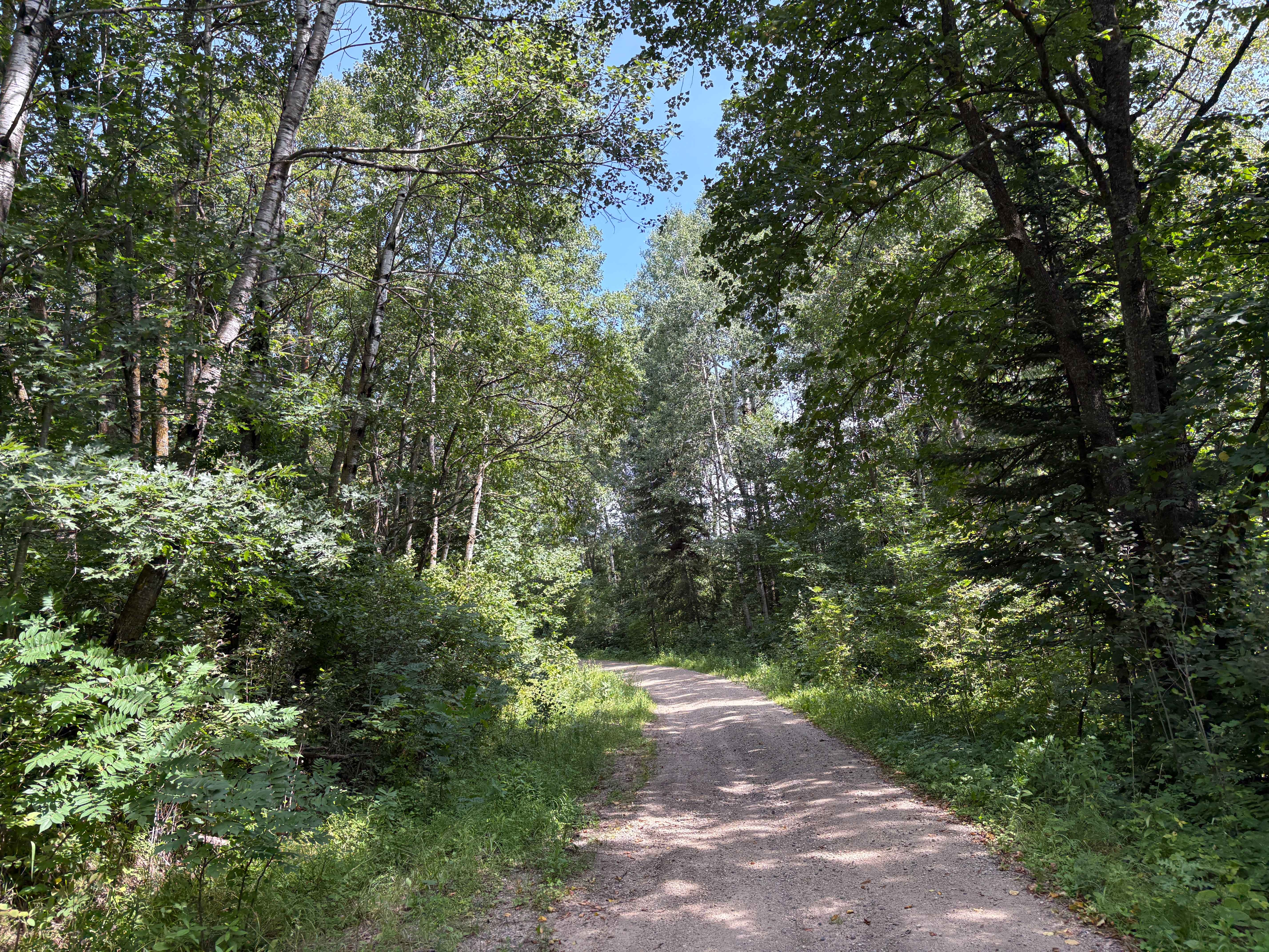
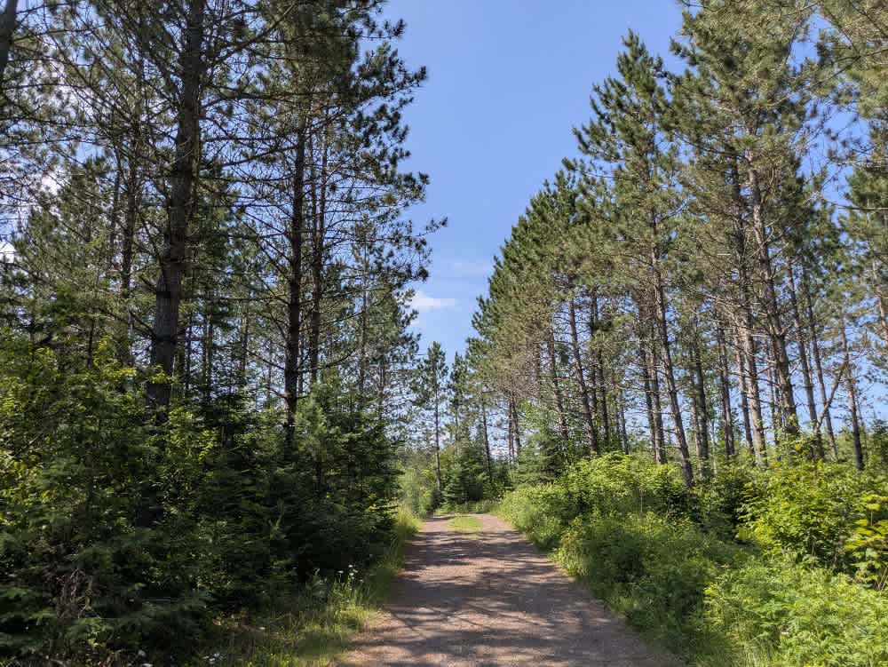
Trail Overview
The Northern Light trail begins as a two-vehicle-wide gravel road and travels through a heavily logged area with large clearings and visible slash piles. The surface is bumpy and shows signs of erosion as it climbs and descends through the terrain. Initially, the trail winds along open areas before transitioning into denser forest. Several smaller trails branch off from the main route, and the trail eventually reaches a large gravel pit that serves as an informal staging area. From this point, multiple narrow trails split off, and the area appears to be a popular spot for ATV and side-by-side use. Beyond the pit, the main trail narrows significantly and becomes increasingly overgrown. Near a river crossing, there is a damaged section of trail with a large hole adjacent to the drainage pipe. After the river, the trail continues to climb before ending at a small clearing that provides space to turn around. There are no formal or dispersed campsites along this trail, and it lacks services such as trash disposal or potable water. Cell service may be intermittent or unavailable.
Photos of Northern Light


Difficulty
The trail is maintained but can develop light overgrowth between trims, especially in the summer months. Commonly used by adventurers and local OHV traffic, the path remains visible and passable, though branches and low brush may occasionally encroach.
Status Reports
Northern Light can be accessed by the following ride types:
- High-Clearance 4x4
- SUV
- SxS (60")
- ATV (50")
- Dirt Bike
Northern Light Map
Popular Trails

Forest Service Road 493B
Mary Yellowhead Trail
Destination Road

Bayview Loop
The onX Offroad Difference
onX Offroad combines trail photos, descriptions, difficulty ratings, width restrictions, seasonality, and more in a user-friendly interface. Available on all devices, with offline access and full compatibility with CarPlay and Android Auto. Discover what you’re missing today!