St Louis Spur C
Total Miles
2.6
Technical Rating
Best Time
Spring, Summer, Winter, Fall
Trail Type
Full-Width Road
Accessible By
Trail Overview
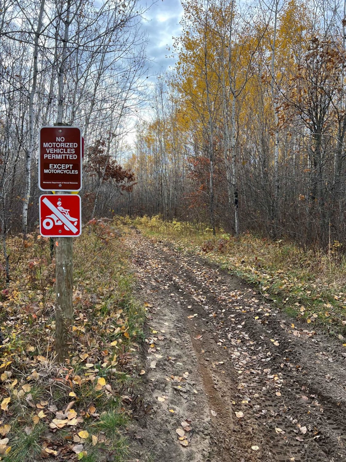
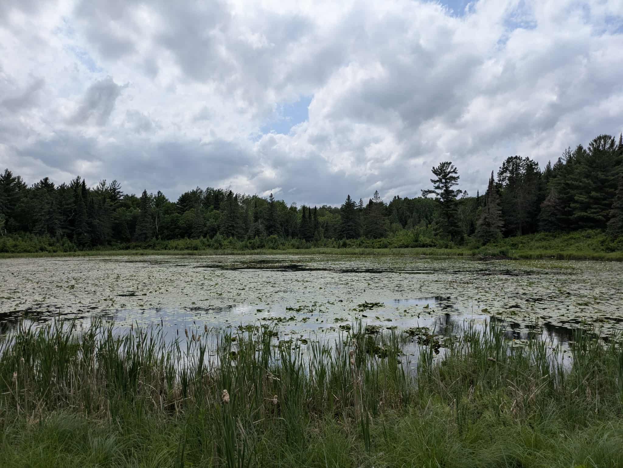
This trail begins off the Townline paved road and follows a relatively straight, flat course through a mix of birch and pine forest. It is well maintained, and during a July visit, a local farmer was actively grading the surface, keeping it in good condition. The terrain is easygoing, with minimal elevation change and only gentle curves along the way. Evidence of recent fire activity is visible in sections of the forest, likely from the previous season. There are a few side trails to explore, though a snowmobile track appears near the trail's end. That route, however, is heavily overgrown and not suitable for vehicle travel. The main trail terminates at a closed gate marked with private property warnings and "FAFO" signs, despite maps indicating it continues as a public road. It is wise to turn around at this point rather than risk trespassing. The area lacks campsites and basic amenities, and cell coverage may be spotty or nonexistent.
Photos of St Louis Spur C


Difficulty
This trail is well-maintained and regularly used by other OHV riders, road users, including residents in the area.
Status Reports
St Louis Spur C can be accessed by the following ride types:
- High-Clearance 4x4
- SUV
St Louis Spur C Map
Popular Trails

Twelve-Hundred Trail (SNF)

Soo Line South: Trailhead Parking to Genola
Crow Wing River Single Track
Saubtine Road Northwest
The onX Offroad Difference
onX Offroad combines trail photos, descriptions, difficulty ratings, width restrictions, seasonality, and more in a user-friendly interface. Available on all devices, with offline access and full compatibility with CarPlay and Android Auto. Discover what you’re missing today!