425
Total Miles
4.0
Technical Rating
Best Time
Spring, Summer, Fall, Winter
Trail Type
Full-Width Road
Accessible By
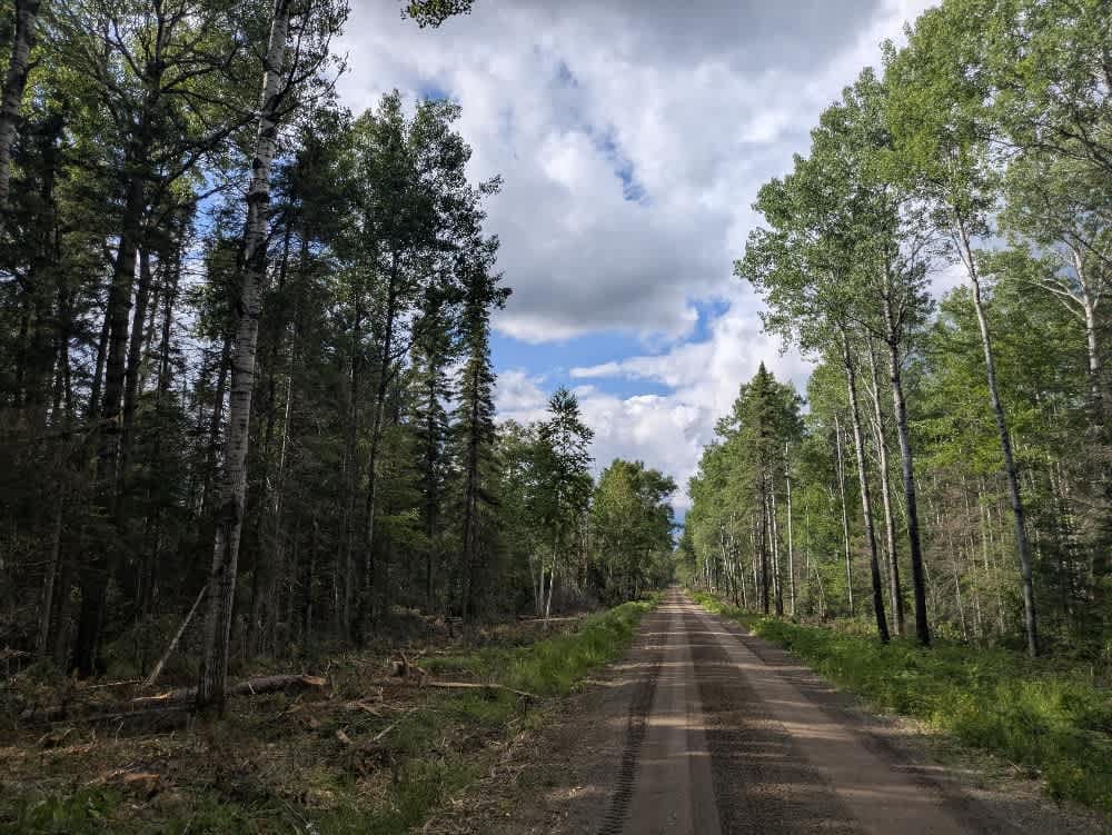
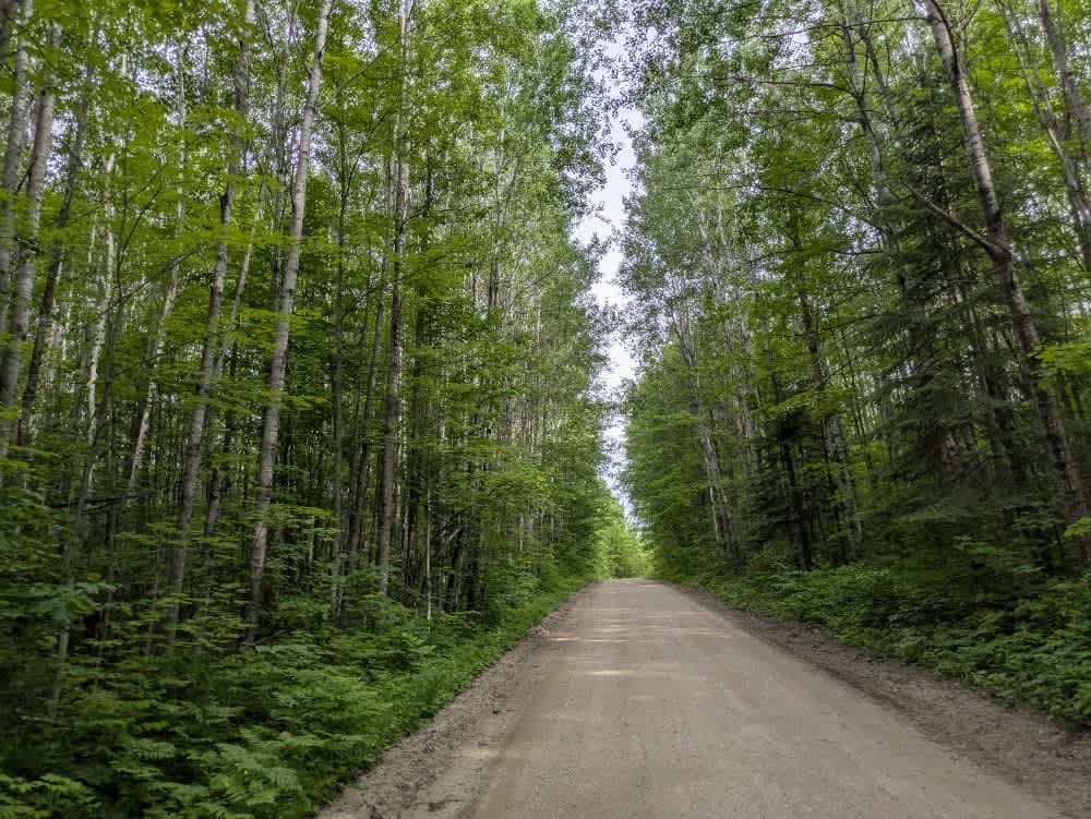
Trail Overview
This trail begins as a well-maintained gravel road branching off the paved Townline Road and leads into a forested area currently used for logging. The route is mostly straight with a few gentle rises and drops, making for an easy drive. Partway in, the trail crosses a river via a recently constructed wooden bridge. As the trail continues, the surrounding forest shows significant signs of logging activity, with large sections of trees cleared and the landscape left visibly impacted. Toward the end, the trail reaches a turnaround and small parking area before narrowing considerably and eventually dead-ending. Although the main trail itself does not offer much in the way of seclusion or scenic views due to the logging, it does provide access to Lake Cadotte and a nearby campground. The campground features basic facilities and spacious, cleared sites suitable for vehicle-based camping. This area is ideal for those looking for a convenient place to set up camp with minimal amenities.
Photos of 425

Difficulty
This trail is well-maintained and regularly used by other OHV riders, road users, including residents in the area.
Status Reports
425 can be accessed by the following ride types:
- High-Clearance 4x4
- SUV
425 Map
Popular Trails


The onX Offroad Difference
onX Offroad combines trail photos, descriptions, difficulty ratings, width restrictions, seasonality, and more in a user-friendly interface. Available on all devices, with offline access and full compatibility with CarPlay and Android Auto. Discover what you’re missing today!