Off-Road Trails in Kentucky
Discover off-road trails in Kentucky
Learn more about Hematite Lake - FS 176
Hematite Lake - FS 176
Total Miles
0.3
Tech Rating
Easy
Best Time
Spring, Summer, Fall, Winter
Learn more about Hematite Tower Road - FS 310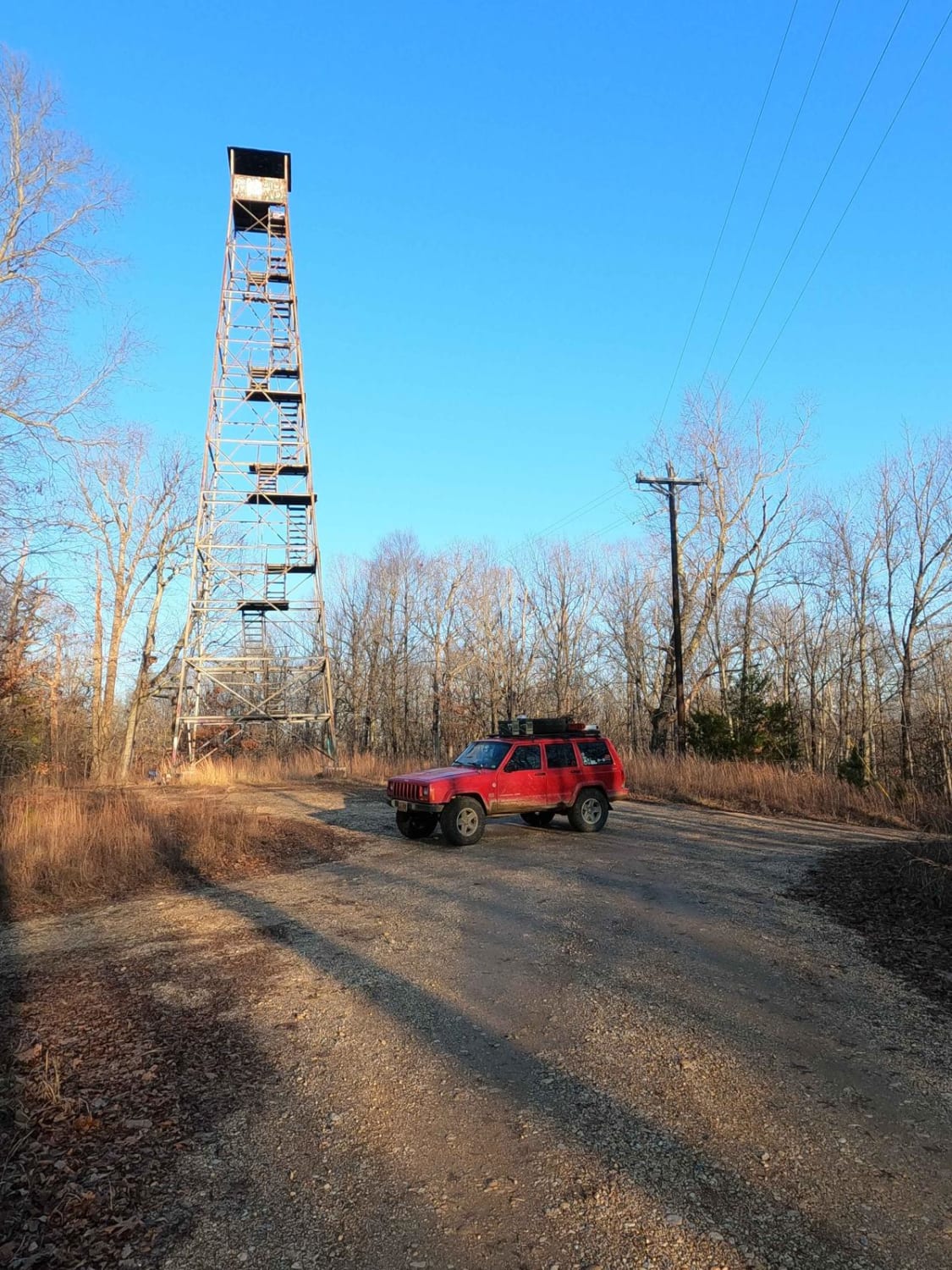
Hematite Tower Road - FS 310
Total Miles
3.3
Tech Rating
Easy
Best Time
Spring, Fall, Summer, Winter
Learn more about Henry Mountain Road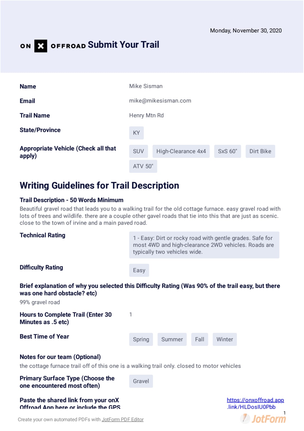
Henry Mountain Road
Total Miles
4.4
Tech Rating
Easy
Best Time
Spring, Summer, Fall, Winter
Learn more about Henry Mtn Rd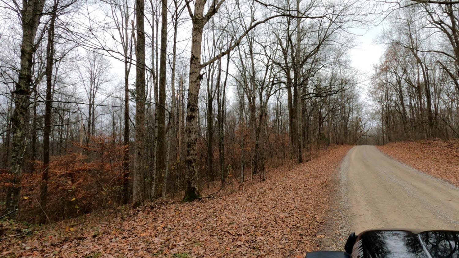
Henry Mtn Rd
Total Miles
4.4
Tech Rating
Easy
Best Time
Spring, Summer, Fall, Winter
Learn more about High Ridge Towers
High Ridge Towers
Total Miles
3.6
Tech Rating
Easy
Best Time
Spring, Summer, Fall, Winter
Learn more about Highway 1036
Highway 1036
Total Miles
2.9
Tech Rating
Easy
Best Time
Spring, Summer, Fall, Winter
Learn more about Honker Lake - FS 177
Honker Lake - FS 177
Total Miles
0.4
Tech Rating
Easy
Best Time
Fall, Spring, Summer
Learn more about Houchin Ferry - Mammoth Cave NP
Houchin Ferry - Mammoth Cave NP
Total Miles
5.3
Tech Rating
Easy
Best Time
Spring, Summer, Winter, Fall
Learn more about Indian Creek Road
Indian Creek Road
Total Miles
4.8
Tech Rating
Easy
Best Time
Spring, Summer
Learn more about Indian Ridge Road - DBBB
Indian Ridge Road - DBBB
Total Miles
3.4
Tech Rating
Moderate
Best Time
Spring, Summer, Fall
Learn more about Indian Valley/Arrowhead Trace
Indian Valley/Arrowhead Trace
Total Miles
0.8
Tech Rating
Easy
Best Time
Spring, Summer, Fall, Winter
Learn more about Ironton Road II - FS 144
Ironton Road II - FS 144
Total Miles
4.4
Tech Rating
Easy
Best Time
Spring, Summer, Fall, Winter
Learn more about Jackson Branch - Power Lines
Jackson Branch - Power Lines
Total Miles
1.9
Tech Rating
Easy
Best Time
Spring, Summer, Fall, Winter
Learn more about Jackson Branch Road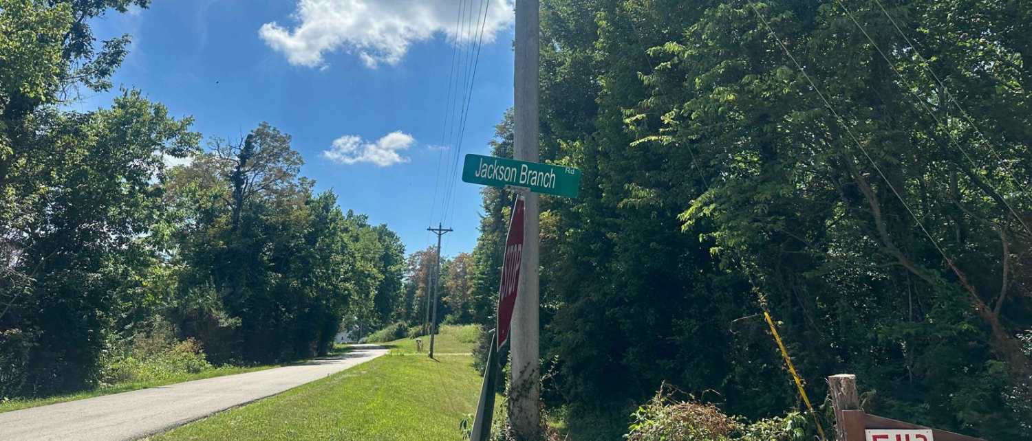
Jackson Branch Road
Total Miles
1.0
Tech Rating
Easy
Best Time
Spring, Summer, Winter, Fall
Learn more about JC Trail 3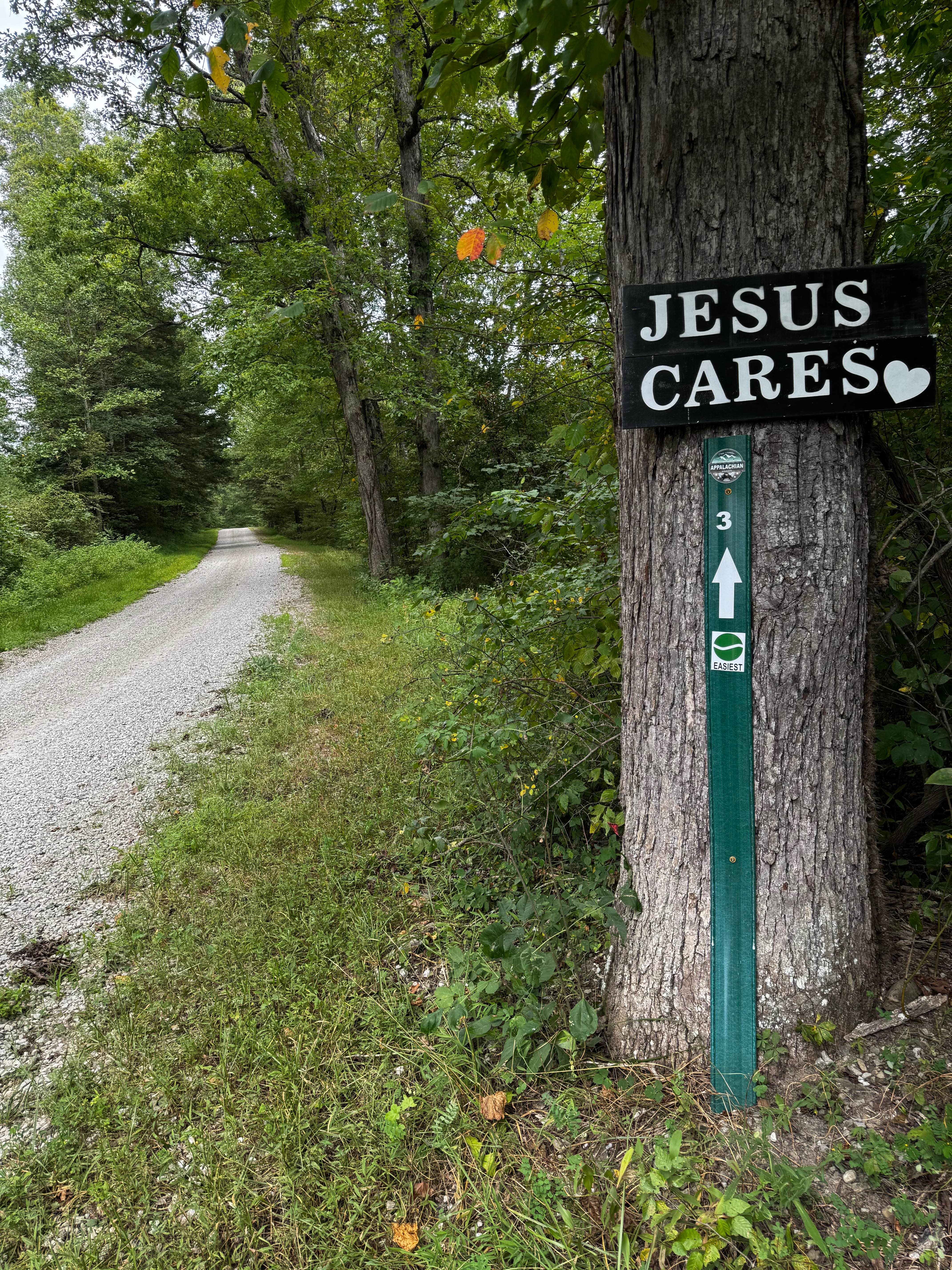
JC Trail 3
Total Miles
3.4
Tech Rating
Easy
Best Time
Spring, Summer, Fall, Winter
Learn more about Jellico Creek Road
Jellico Creek Road
Total Miles
2.6
Tech Rating
Easy
Best Time
Spring, Summer, Fall
Learn more about Jenny Ridge Road - FS 153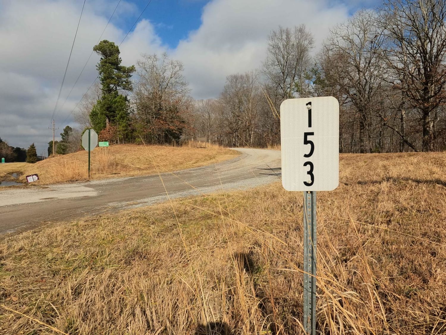
Jenny Ridge Road - FS 153
Total Miles
7.5
Tech Rating
Easy
Best Time
Spring, Summer, Fall, Winter
Learn more about Jim Callahan Road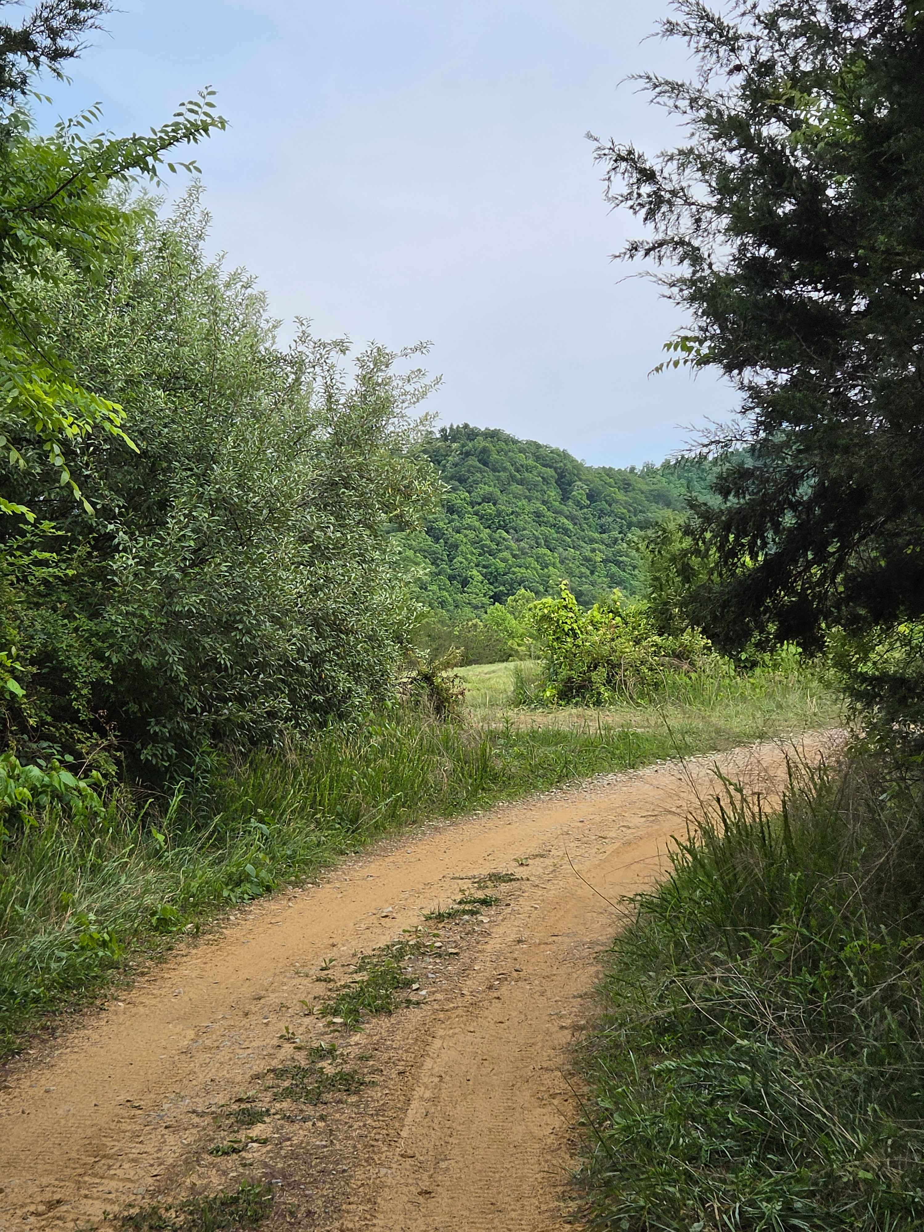
Jim Callahan Road
Total Miles
3.9
Tech Rating
Easy
Best Time
Spring, Summer, Fall, Winter
ATV trails in Kentucky
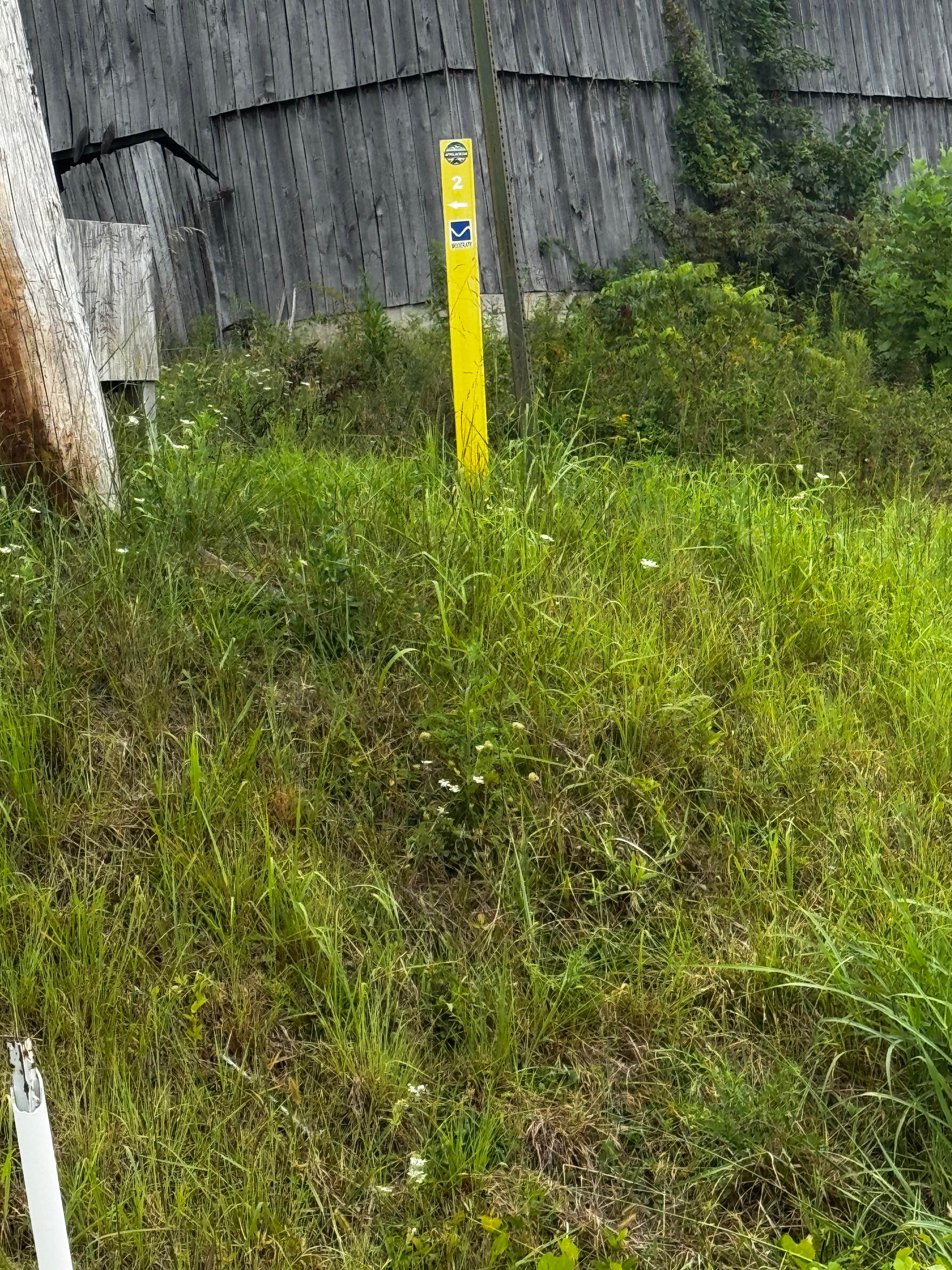
Learn more about 1 to 2 Road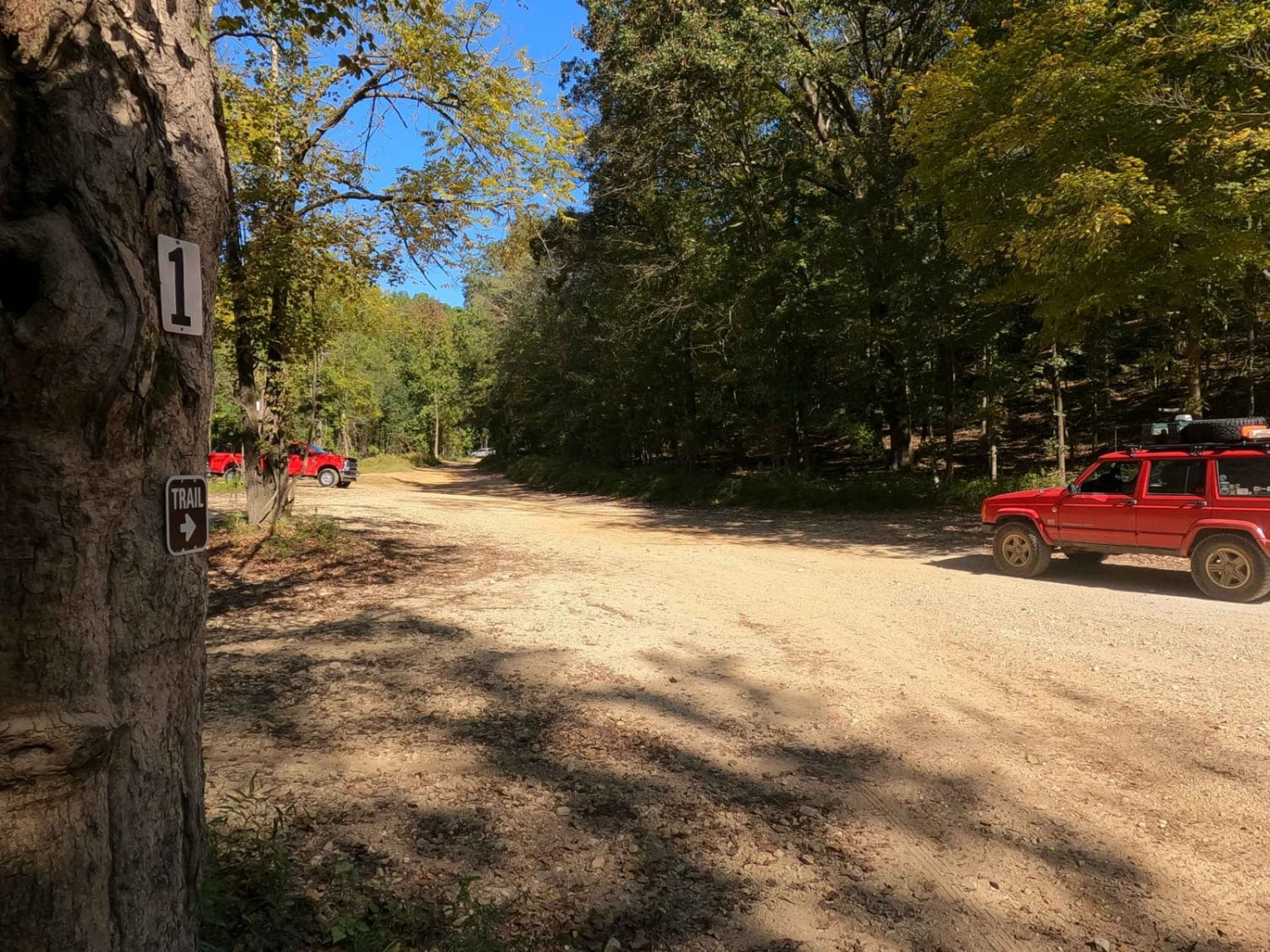
1 to 2 Road
Total Miles
1.1
Tech Rating
Easy
Best Time
Spring, Summer, Fall, Winter
UTV/side-by-side trails in Kentucky
Learn more about 1 to 2 Road
1 to 2 Road
Total Miles
1.1
Tech Rating
Easy
Best Time
Spring, Summer, Fall, Winter
The onX Offroad Difference
onX Offroad combines trail photos, descriptions, difficulty ratings, width restrictions, seasonality, and more in a user-friendly interface. Available on all devices, with offline access and full compatibility with CarPlay and Android Auto. Discover what you’re missing today!