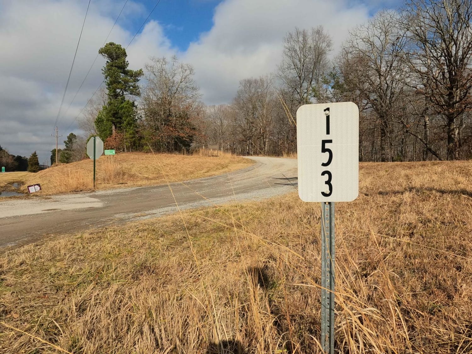
Jenny Ridge Road - FS 153
Total Miles
7.5
Technical Rating
Best Time
Spring, Summer, Fall, Winter
Trail Type
Full-Width Road
Accessible By
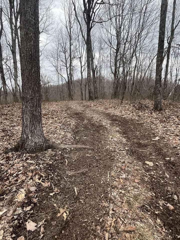
Trail Overview
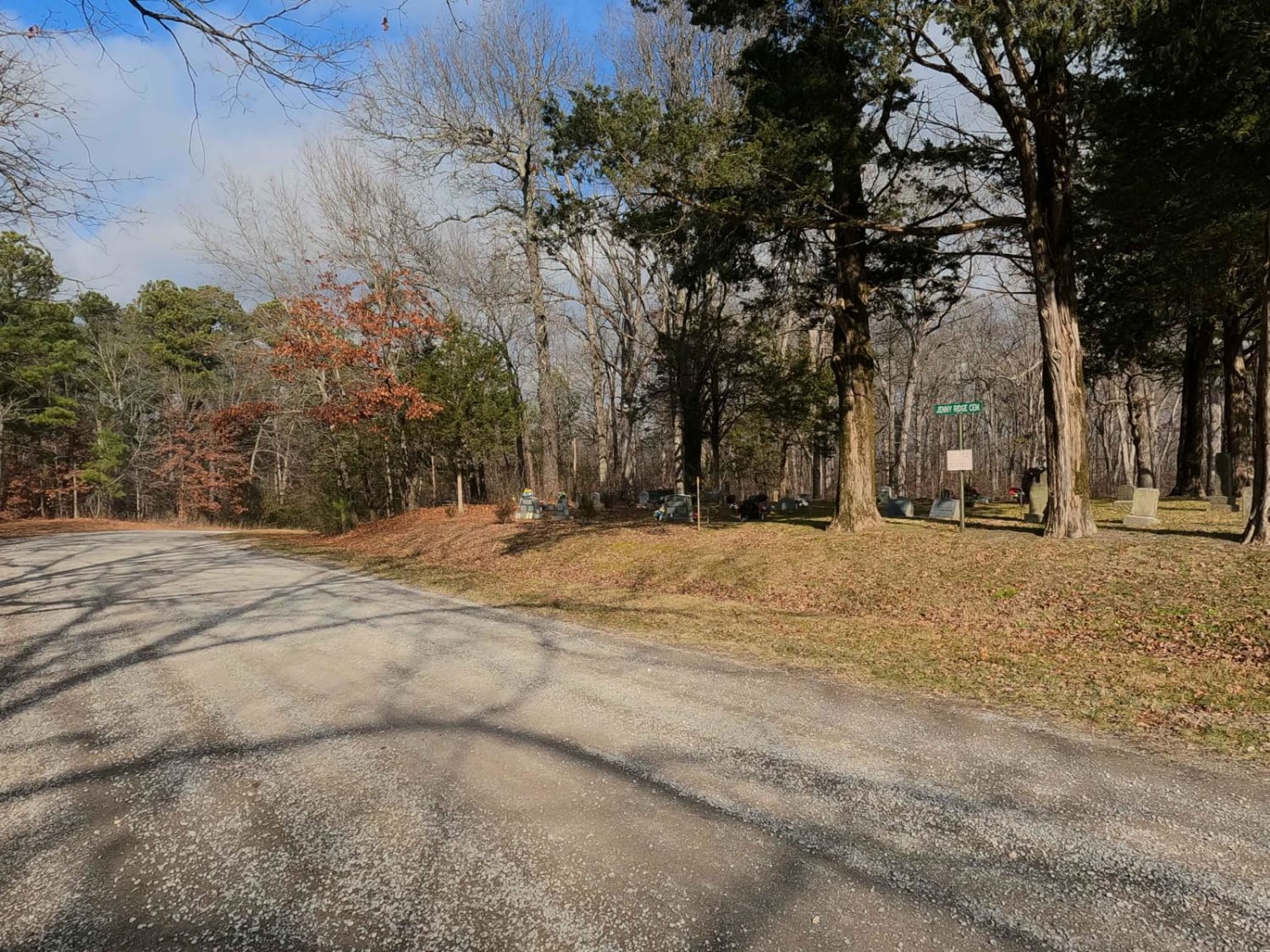
The Jenny Ridge FS 153 is a gravel forestry road through the center area of the Kentucky section of the Land Between the Lakes National Recreation Area. This road doesn't feature any direct lakeside access to Kentucky Lake or Lake Barkley, but rather has inland features of medium-sized rolling hills to valley bottoms, open fields to dense beautiful treelines, showing off the diversity of the scenery that a road can have within the Rec Area. The road serves as a main connection route between several other forest roads in the centermost area of LBL, reaching from the Woodland Trace on the west all the way to the FS 134 on the east. Along the way, it features locations of former and current human activity, including the cemeteries (Jenny Ridge, Newton, Atwood), and the power-line trunk, at 36.80574, -88.0437 that traverses the landscape north to south, where other Forest Routes can be seen in the distance. Just south of the western end of FS 153 is the neighboring Jenny Ridge Picnic (and bathroom) area at 36.78822, -88.06744, and the Bison and Elk Range at 36.78393, -88.06751. It's a great road to know to connect secondary roads or for a consistent nature cruise with minimal challenge.
Photos of Jenny Ridge Road - FS 153
Difficulty
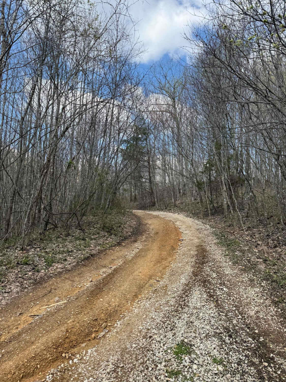
Jenny Ridge is a simple gravel road. Generally well maintained, it is given a base rating of 1/10, consisting of mild grades up and down the rolling hills of the area. Expect washboards, potholes, mounding of the gravel, spots where the gravel fades to dirt, and mild signs of erosion on the hills. In a few spots, it is barely noticeable that this road was once partially paved; the majority of these sections have fallen apart and the small intact sections have since been covered with gravel. The road could experience difficulty increases in times of heavy use, wet conditions, and inclement weather.
Status Reports
Jenny Ridge Road - FS 153 can be accessed by the following ride types:
- High-Clearance 4x4
- SUV
Jenny Ridge Road - FS 153 Map
Popular Trails

Bogie Mill - Eddington
The onX Offroad Difference
onX Offroad combines trail photos, descriptions, difficulty ratings, width restrictions, seasonality, and more in a user-friendly interface. Available on all devices, with offline access and full compatibility with CarPlay and Android Auto. Discover what you’re missing today!