Ironton Road II - FS 144
Total Miles
4.4
Technical Rating
Best Time
Spring, Summer, Fall, Winter
Trail Type
Full-Width Road
Accessible By
Trail Overview
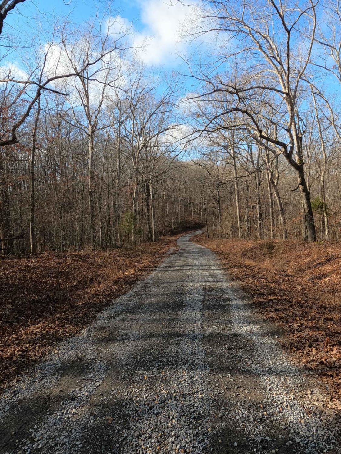
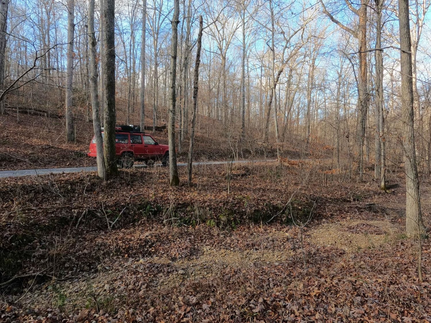
Ironton Road II FS 144 is the western portion of the Ironton Road being split in two by the Woodland Trace Road. It is a gravel forestry road through the center inland area of the Kentucky section of the Land Between the Lakes National Recreation Area. It features hills leading to valleys low, back to ridge tops high, connecting between the Jenny Ridge FS 153 and Woodland Trace. The road aligns with the Jenny Ridge to the south, providing a main road that connects to several of the secondary trails in the center inland area. It has consistent gravel and scenic views along the way, including the power-line trunk at 36.84819, -88.0674, where you can see forest routes in the distance both north and south.
Photos of Ironton Road II - FS 144
Difficulty
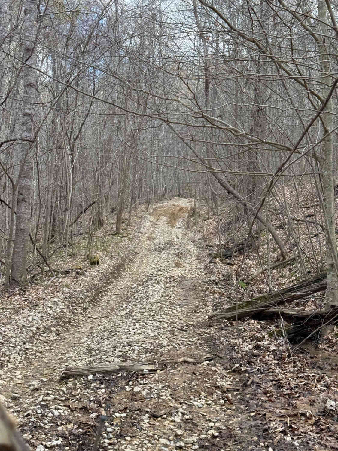
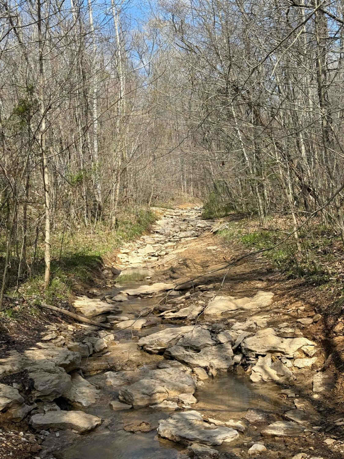
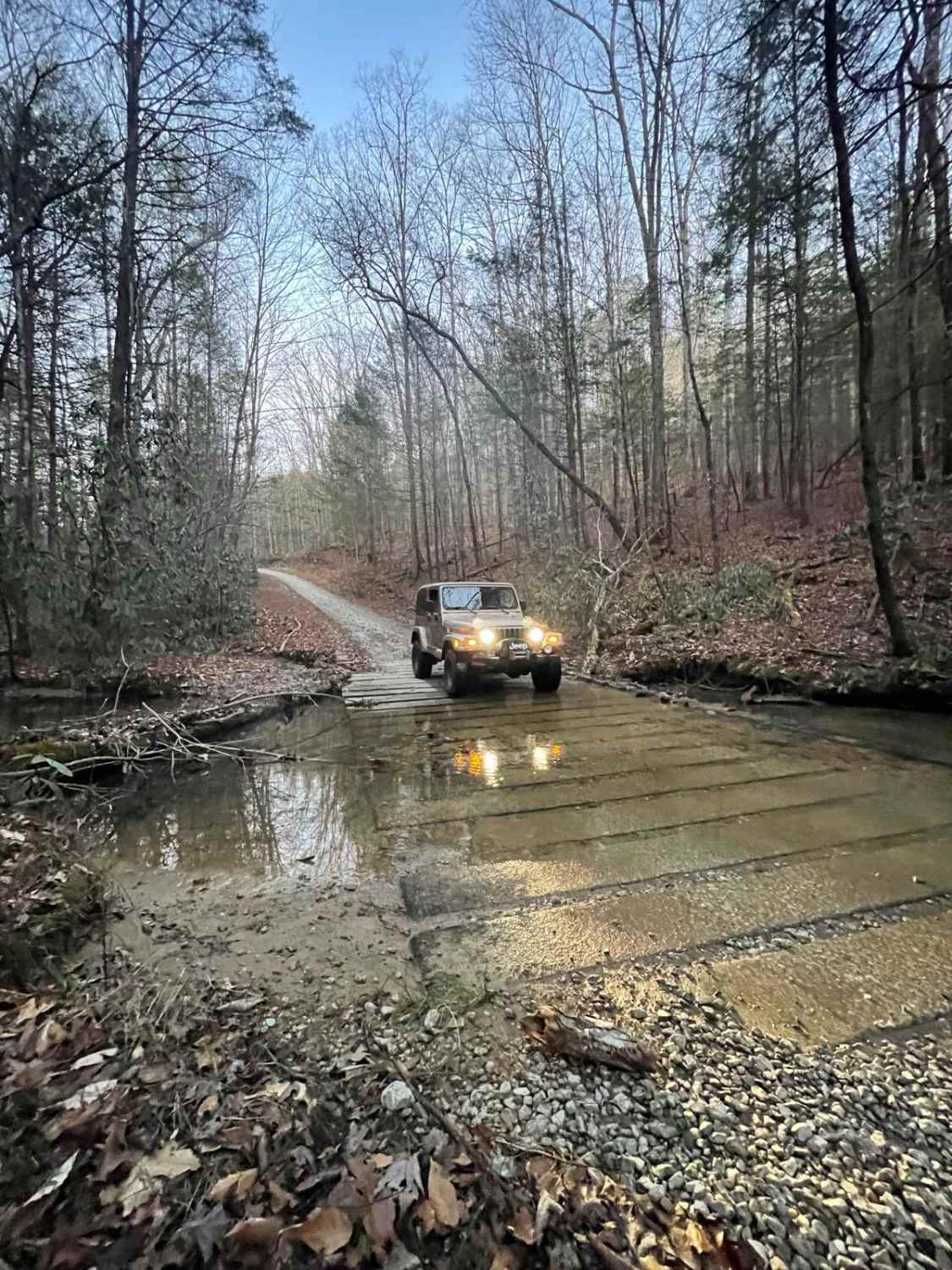
Ironton Road II is a simple gravel road. Generally well maintained, it is given a base rating of 1/10, consisting of mild grades up and down the rolling hills of the area. Expect washboards, potholes, mounding of the gravel, spots where the gravel fades to dirt, and mild signs of erosion on the hills. There are potentially small--less than 6 inches deep--water splashes at the low-water bridges. The road could experience difficulty increases in times of heavy use, wet conditions, and inclement weather.
Ironton Road II - FS 144 can be accessed by the following ride types:
- High-Clearance 4x4
- SUV
Ironton Road II - FS 144 Map
Popular Trails
Trail 23A
646A Straight Creek
The onX Offroad Difference
onX Offroad combines trail photos, descriptions, difficulty ratings, width restrictions, seasonality, and more in a user-friendly interface. Available on all devices, with offline access and full compatibility with CarPlay and Android Auto. Discover what you’re missing today!
