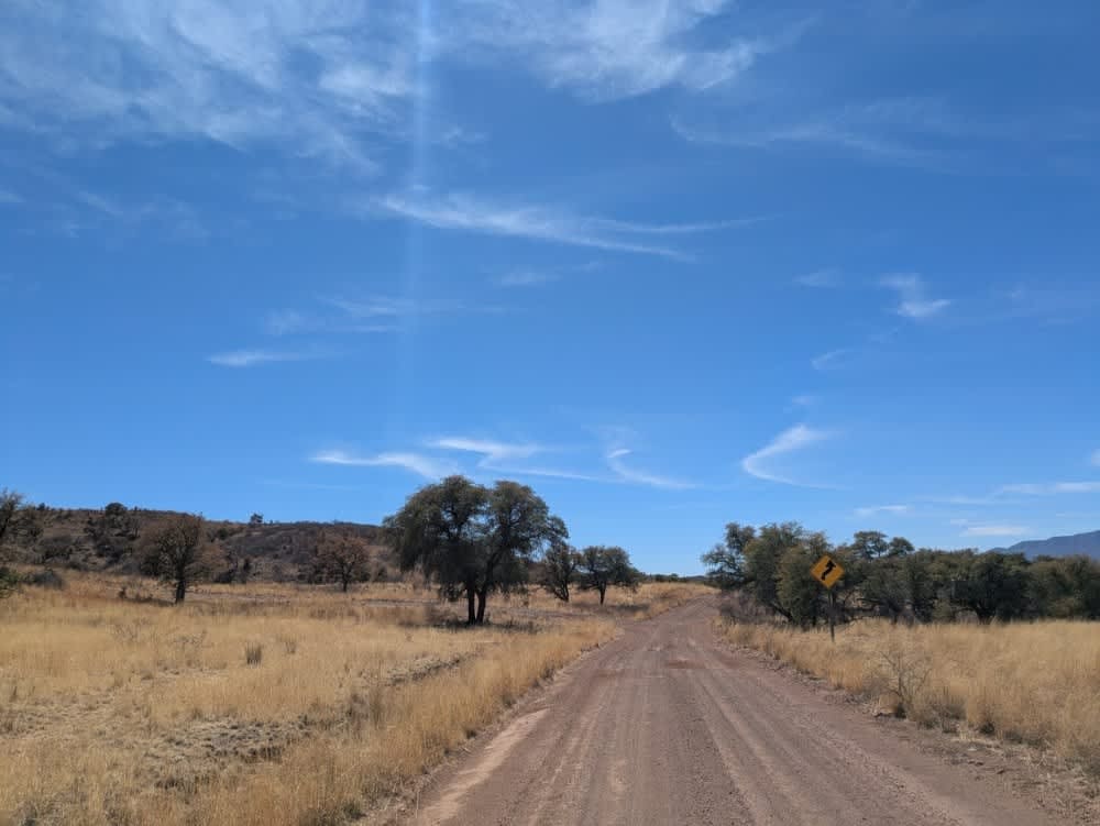
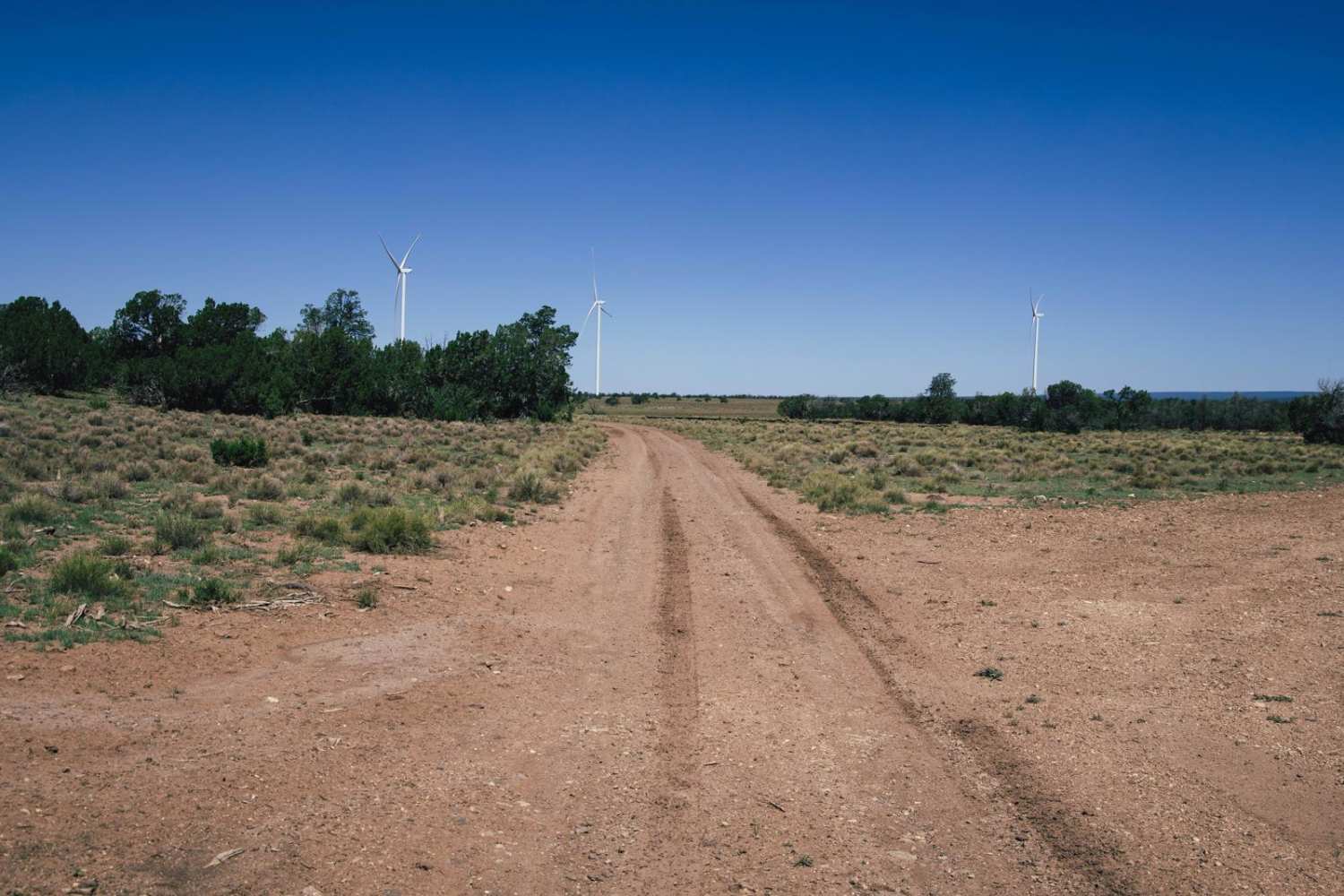
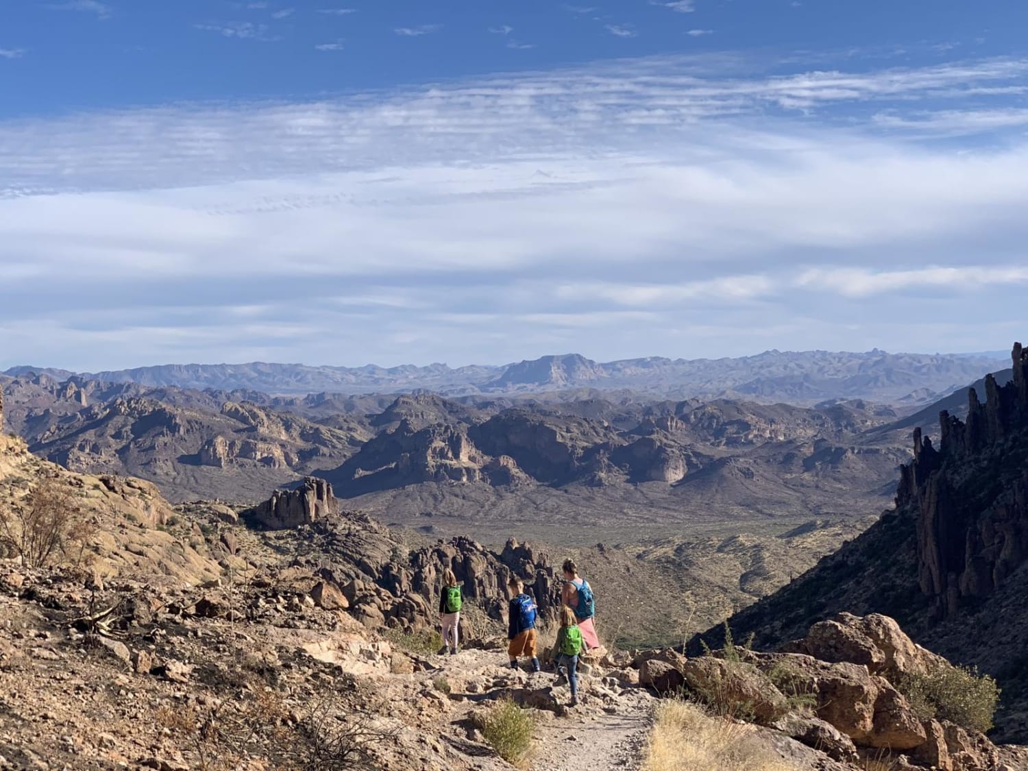
Off-Road Trails in Arizona
Discover off-road trails in Arizona
Learn more about Parker Wash
Parker Wash
Total Miles
1.6
Tech Rating
Easy
Best Time
Spring, Summer, Fall, Winter
Learn more about Part of Metal Masher 
Part of Metal Masher
Total Miles
3.7
Tech Rating
Difficult
Best Time
Winter, Fall, Summer, Spring
Learn more about Pass Canyon
Pass Canyon
Total Miles
16.3
Tech Rating
Difficult
Best Time
Fall, Winter, Spring
Learn more about Pasture Blast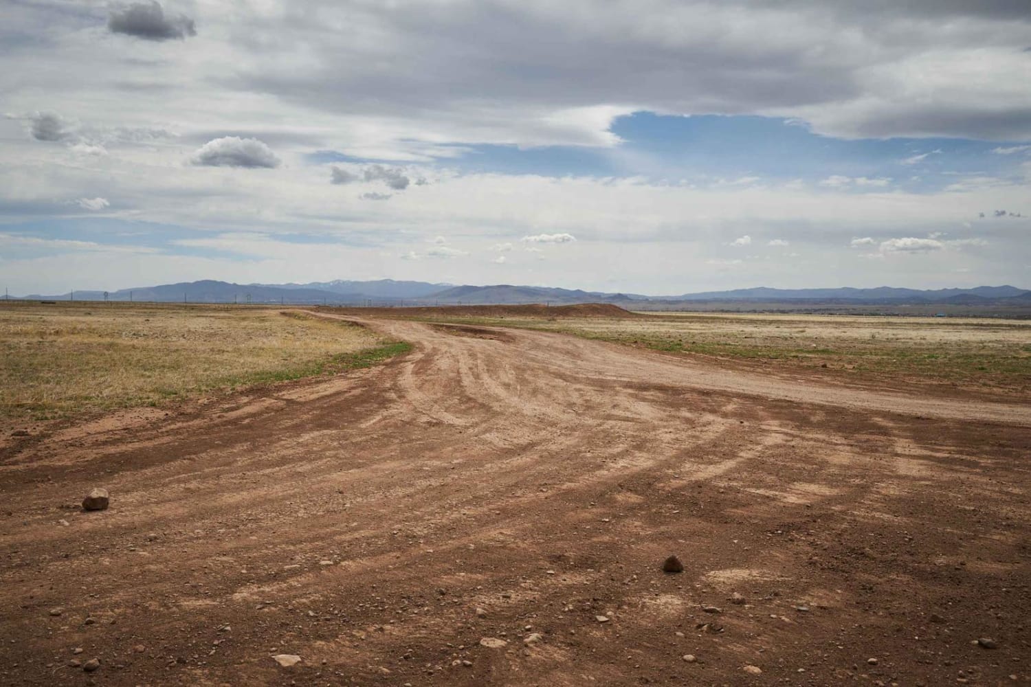
Pasture Blast
Total Miles
4.3
Tech Rating
Easy
Best Time
Spring, Fall, Winter
Learn more about Pasture Mash
Pasture Mash
Total Miles
2.6
Tech Rating
Easy
Best Time
Spring, Summer, Fall, Winter
Learn more about Pasture Waterline
Pasture Waterline
Total Miles
1.8
Tech Rating
Easy
Best Time
Spring, Summer, Fall
Learn more about Patagonia Loop
Patagonia Loop
Total Miles
41.7
Tech Rating
Easy
Best Time
Summer, Fall, Winter, Spring

Learn more about Pauline Ridge - FR4892
Pauline Ridge - FR4892
Total Miles
4.5
Tech Rating
Easy
Best Time
Spring, Fall, Winter
Learn more about Paw Hole Road - NM1079
Paw Hole Road - NM1079
Total Miles
5.3
Tech Rating
Easy
Best Time
Spring, Fall
Learn more about Peace Trail West
Peace Trail West
Total Miles
16.7
Tech Rating
Easy
Best Time
Spring, Fall, Winter
Learn more about Peck Mine Trail
Peck Mine Trail
Total Miles
4.7
Tech Rating
Moderate
Best Time
Spring, Summer, Fall
Learn more about Peterson Flat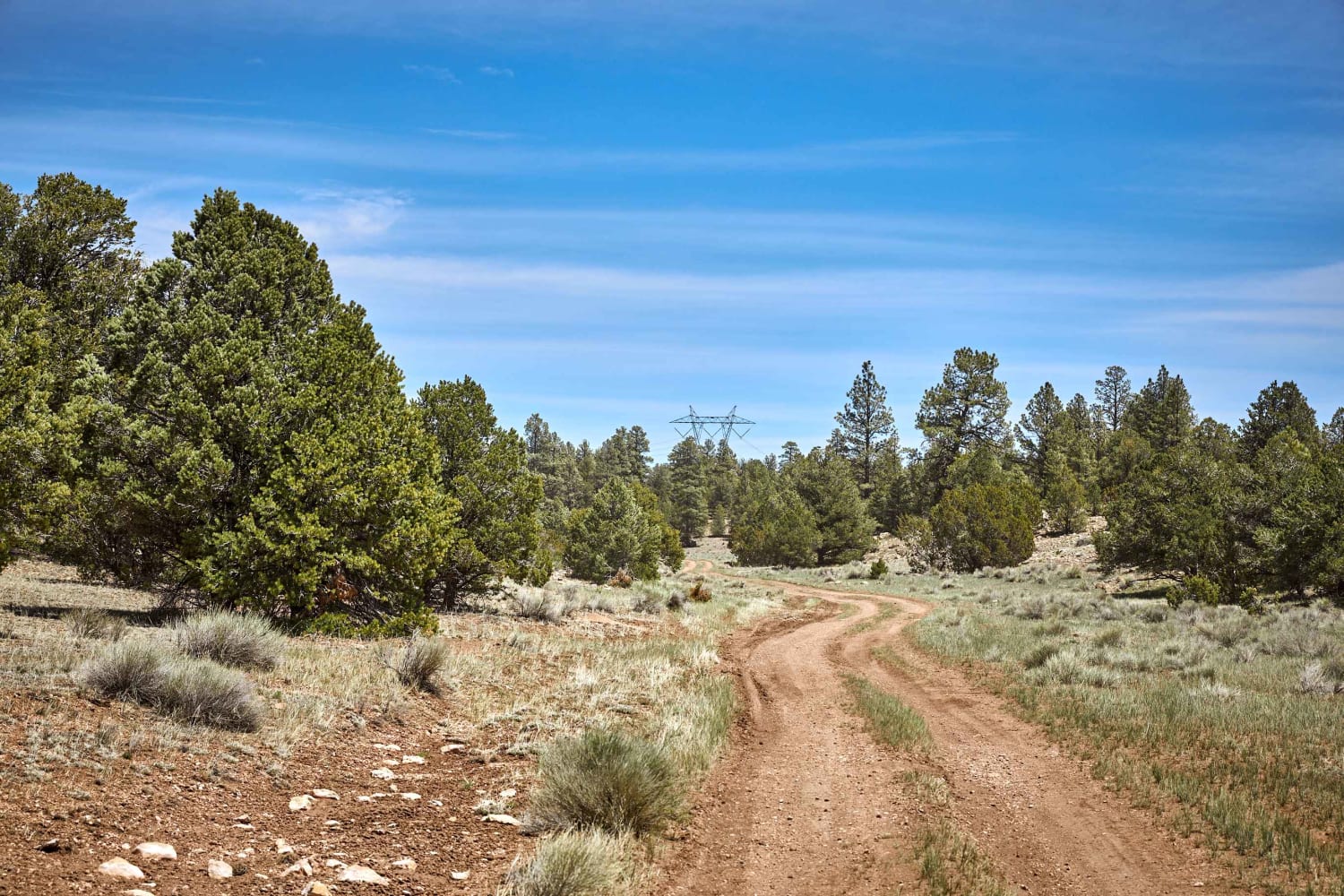
Peterson Flat
Total Miles
8.4
Tech Rating
Easy
Best Time
Spring, Summer, Fall
Learn more about Petroglyph Access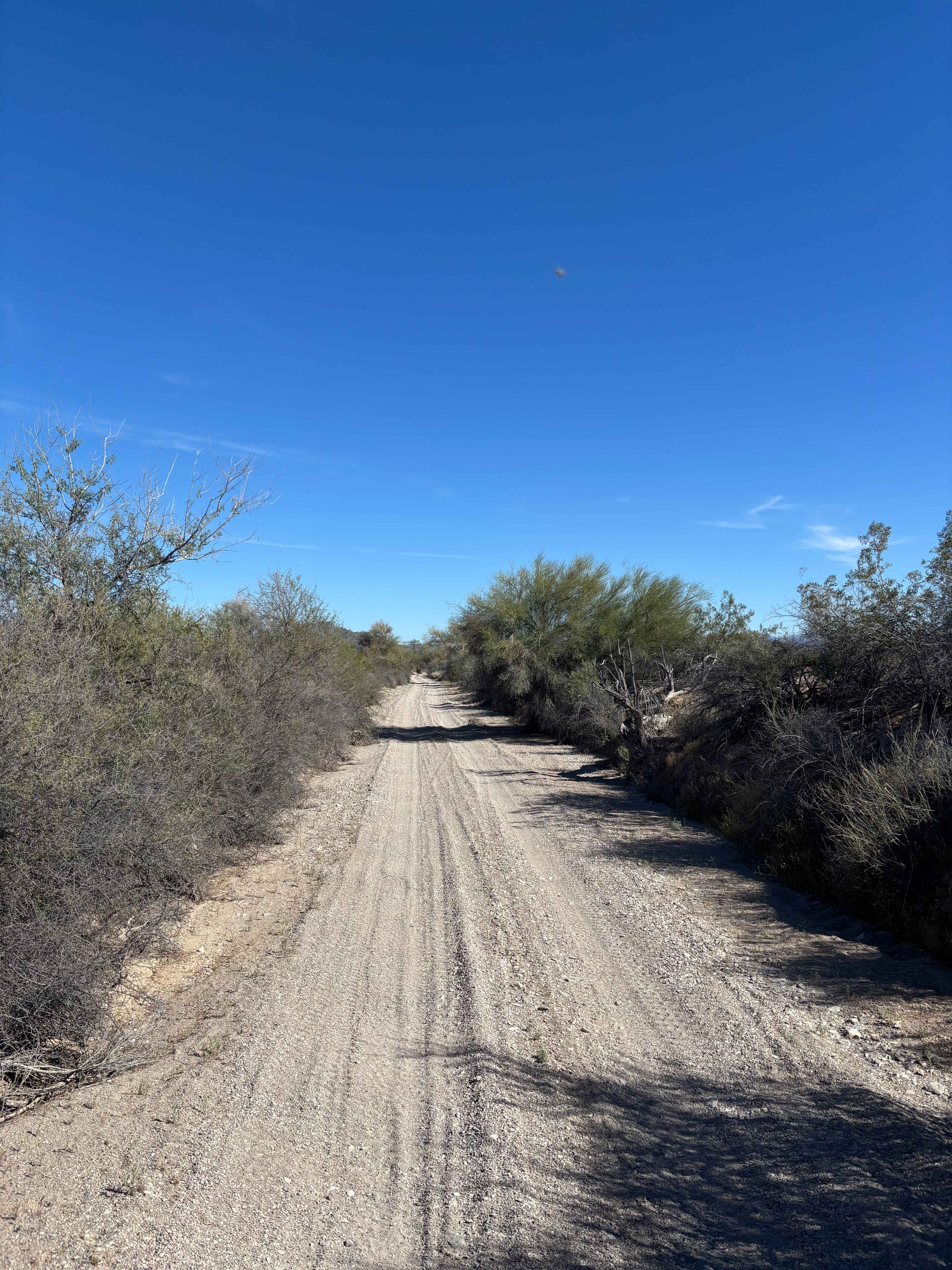
Petroglyph Access
Total Miles
2.9
Tech Rating
Easy
Best Time
Winter, Spring, Fall
Learn more about Photographic Hill
Photographic Hill
Total Miles
0.3
Tech Rating
Easy
Best Time
Spring, Summer, Fall, Winter
Learn more about Picacho Peaks Singletrack 
Picacho Peaks Singletrack
Total Miles
2.2
Tech Rating
Difficult
Best Time
Spring, Fall, Winter
Learn more about Picacho Singletrack 
Picacho Singletrack
Total Miles
0.9
Tech Rating
Difficult
Best Time
Spring, Fall, Winter
ATV trails in Arizona
Learn more about Scrub Oak Bypass 
Scrub Oak Bypass
Total Miles
0.5
Tech Rating
Easy
Best Time
Spring, Summer, Fall


UTV/side-by-side trails in Arizona
Learn more about Scrub Oak Bypass
Scrub Oak Bypass
Total Miles
0.5
Tech Rating
Easy
Best Time
Spring, Summer, Fall
The onX Offroad Difference
onX Offroad combines trail photos, descriptions, difficulty ratings, width restrictions, seasonality, and more in a user-friendly interface. Available on all devices, with offline access and full compatibility with CarPlay and Android Auto. Discover what you’re missing today!