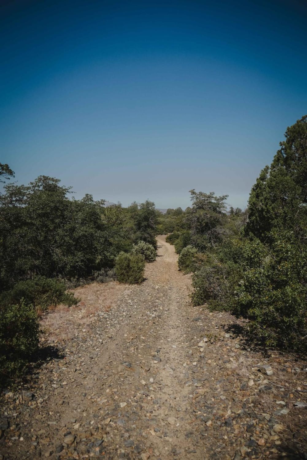
Off-Road Trails in Arizona
Discover off-road trails in Arizona
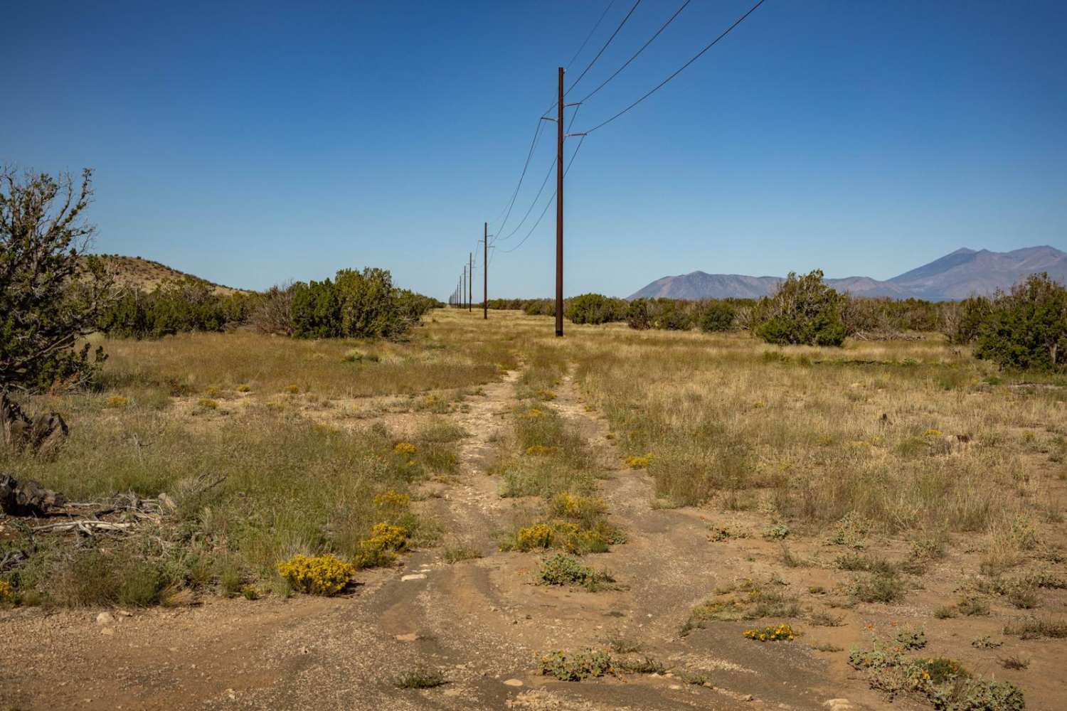
Learn more about Pole Line Romp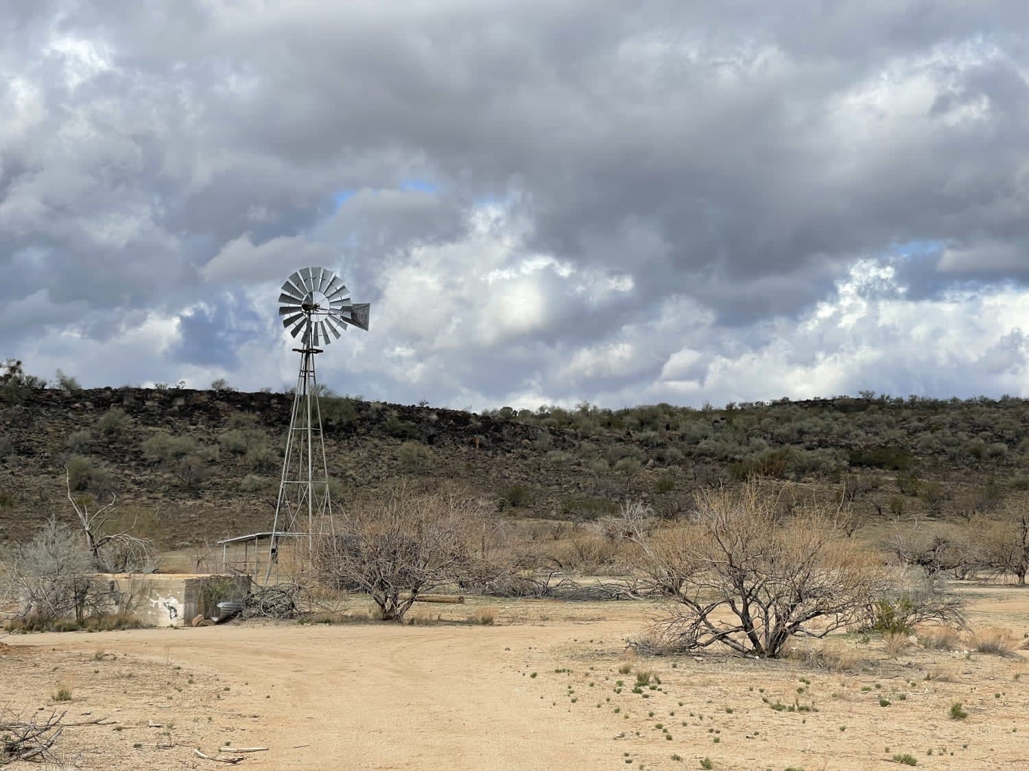
Pole Line Romp
Total Miles
2.7
Tech Rating
Moderate
Best Time
Winter, Fall, Spring
Learn more about Pole Line Trail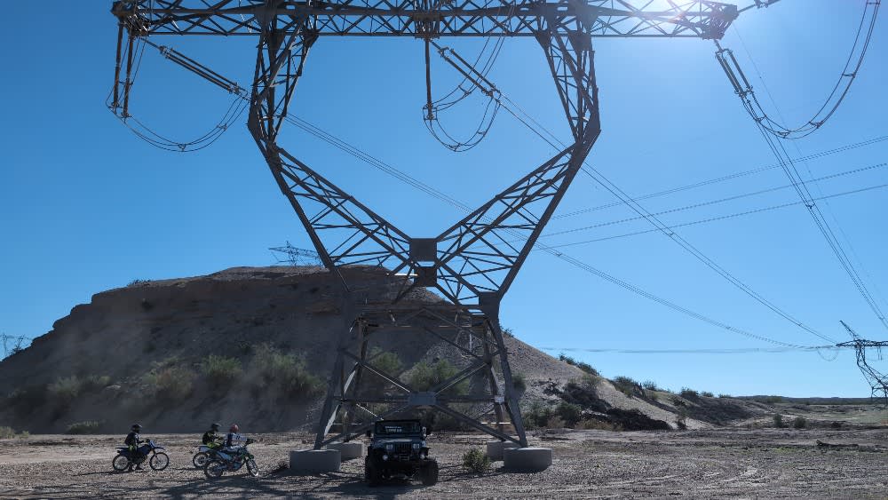
Pole Line Trail
Total Miles
15.2
Tech Rating
Easy
Best Time
Spring, Fall, Winter
Learn more about Pondo Ripper
Pondo Ripper
Total Miles
1.7
Tech Rating
Easy
Best Time
Spring, Summer, Fall, Winter
Learn more about Pope Mine Loop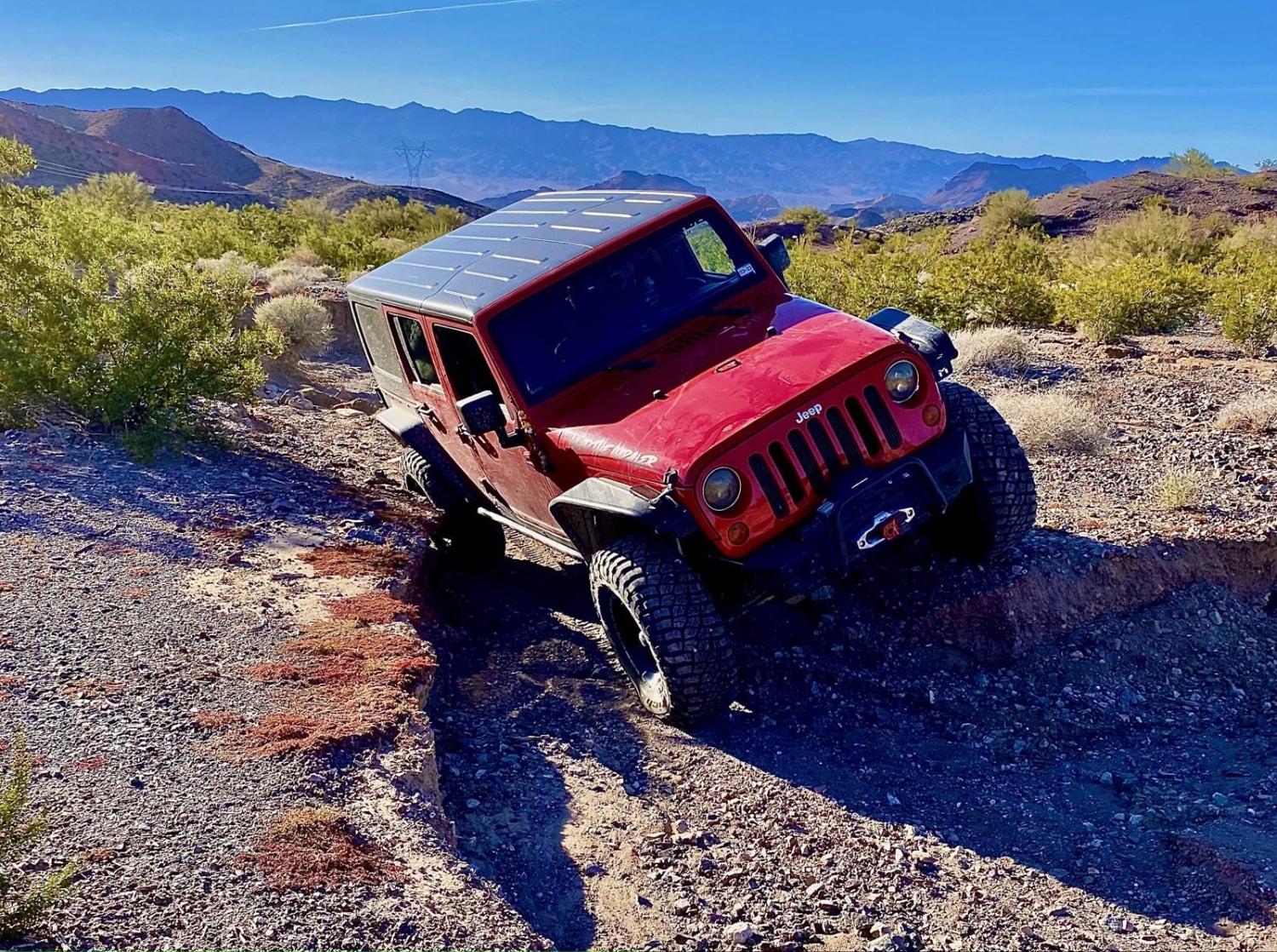
Pope Mine Loop
Total Miles
26.1
Tech Rating
Moderate
Best Time
Spring, Summer, Fall, Winter
Learn more about Porcupine Climb 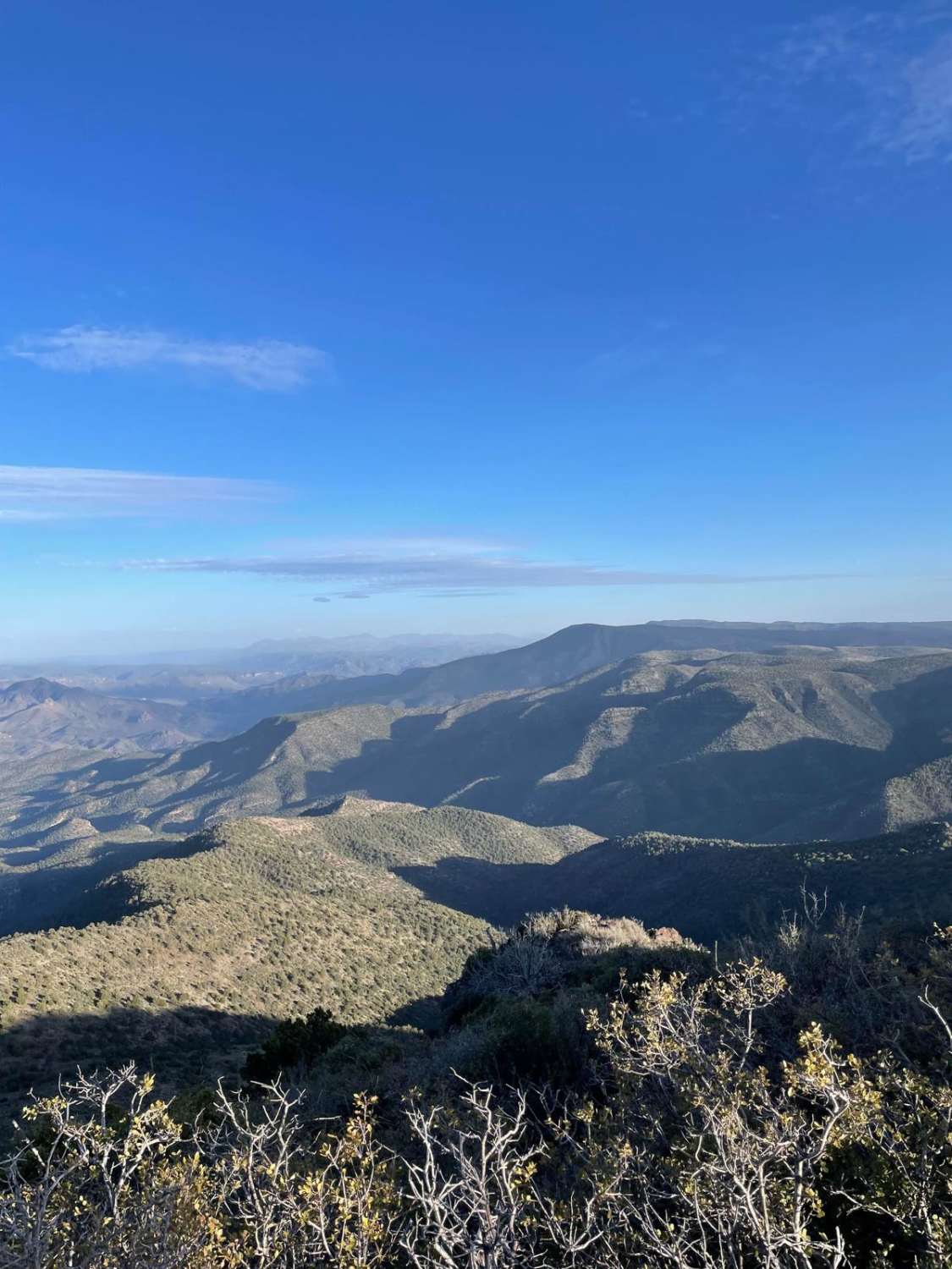
Porcupine Climb
Total Miles
4.8
Tech Rating
Easy
Best Time
Spring, Summer, Fall
Learn more about Porque Tank Trail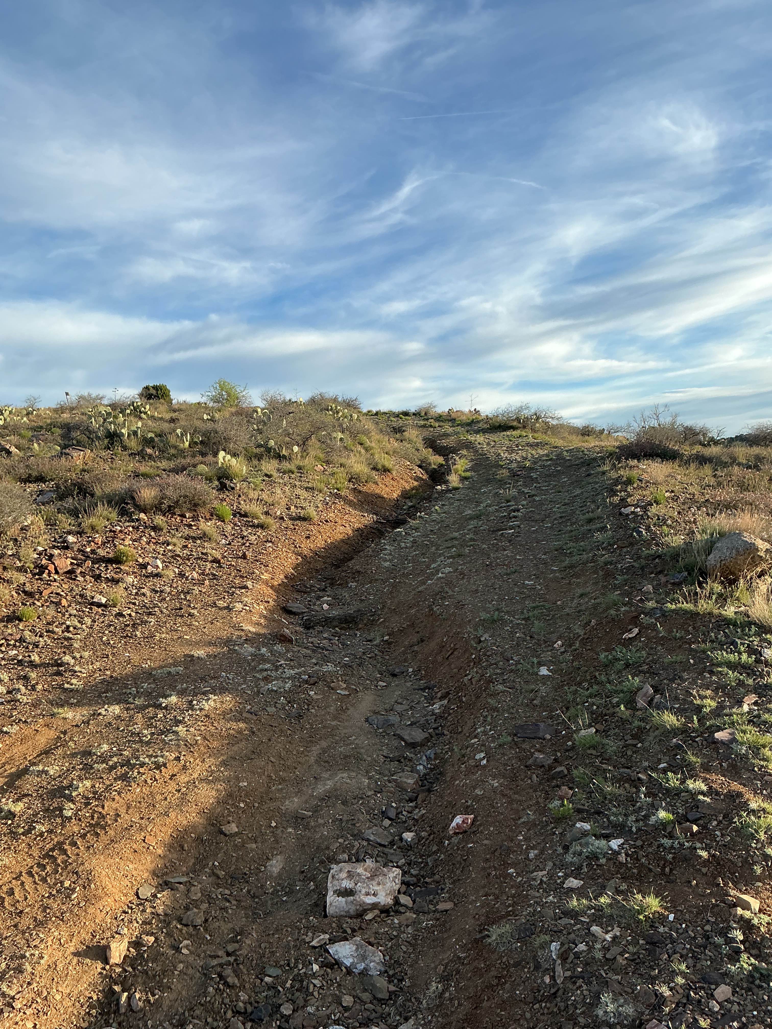
Porque Tank Trail
Total Miles
3.0
Tech Rating
Moderate
Best Time
Spring, Fall, Winter
Learn more about Porter Mountain Loop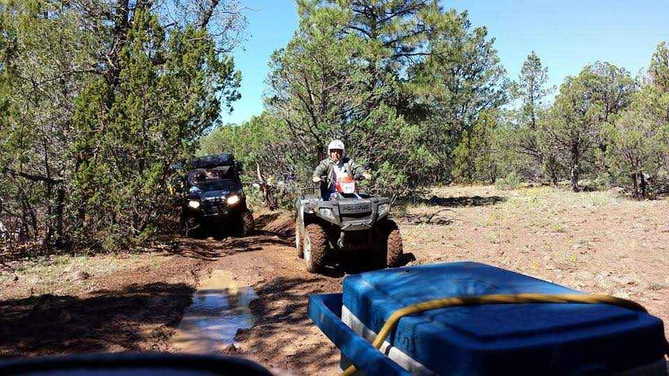
Porter Mountain Loop
Total Miles
16.8
Tech Rating
Easy
Best Time
Spring, Summer, Fall
Learn more about Portland Mine Traverse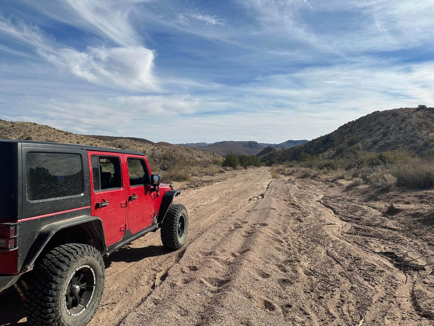
Portland Mine Traverse
Total Miles
22.1
Tech Rating
Easy
Best Time
Summer, Fall, Winter, Spring
Learn more about Possibles Pasture
Possibles Pasture
Total Miles
1.7
Tech Rating
Easy
Best Time
Spring, Summer, Fall, Winter
Learn more about Possum Plus One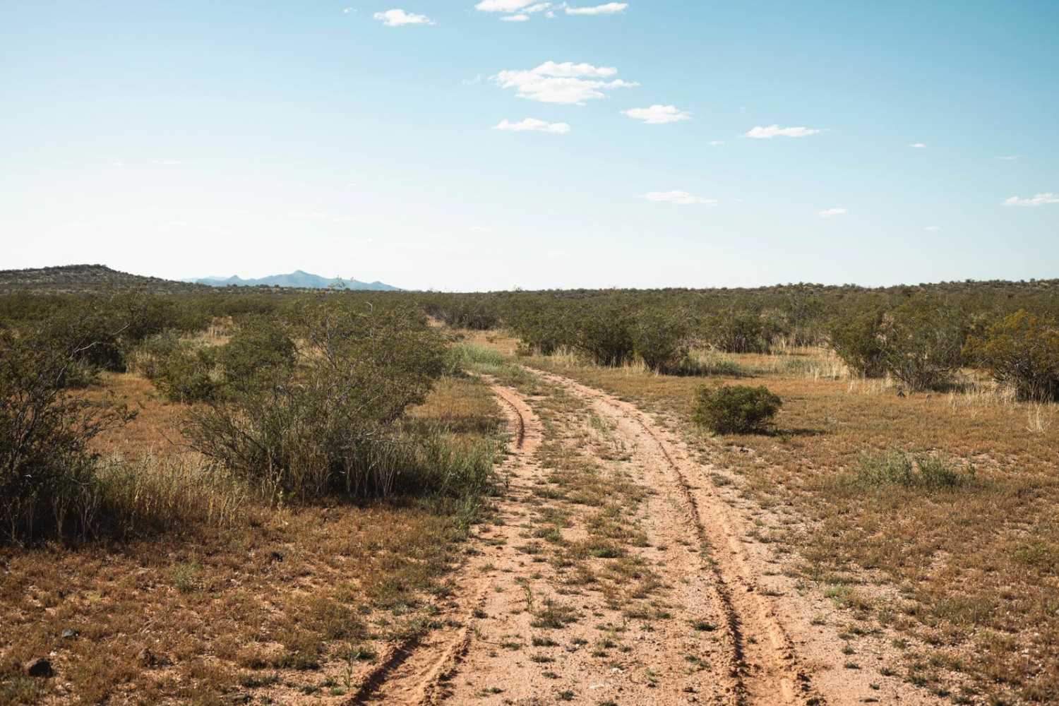
Possum Plus One
Total Miles
1.6
Tech Rating
Easy
Best Time
Spring, Summer, Fall
Learn more about Pot Cove Road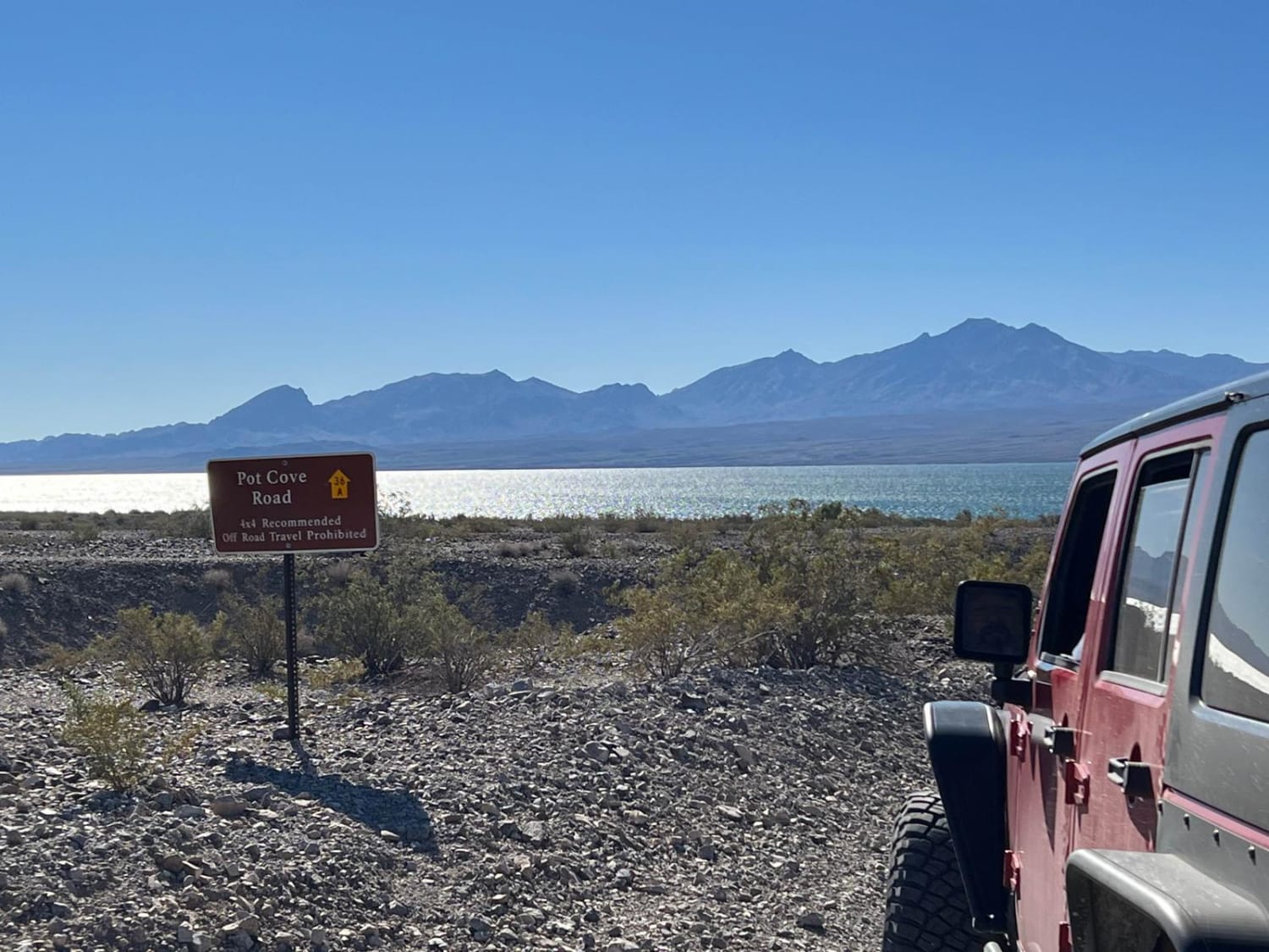
Pot Cove Road
Total Miles
0.5
Tech Rating
Easy
Best Time
Spring, Summer, Fall, Winter
Learn more about Potato Lake Rim Road
Potato Lake Rim Road
Total Miles
6.2
Tech Rating
Easy
Best Time
Summer, Fall, Spring
Learn more about Potato Patch Tank Trail
Potato Patch Tank Trail
Total Miles
2.8
Tech Rating
Moderate
Best Time
Spring, Summer, Fall

Learn more about Power Bc1096
Power Bc1096
Total Miles
5.0
Tech Rating
Easy
Best Time
Spring, Summer, Fall, Winter
Learn more about Power Coaster
Power Coaster
Total Miles
11.1
Tech Rating
Easy
Best Time
Spring, Summer, Fall, Winter
Learn more about Power Line Hill South
Power Line Hill South
Total Miles
0.1
Tech Rating
Difficult
Best Time
Spring, Summer, Fall, Winter
ATV trails in Arizona
Learn more about Scrub Oak Bypass 
Scrub Oak Bypass
Total Miles
0.5
Tech Rating
Easy
Best Time
Spring, Summer, Fall


UTV/side-by-side trails in Arizona
Learn more about Scrub Oak Bypass
Scrub Oak Bypass
Total Miles
0.5
Tech Rating
Easy
Best Time
Spring, Summer, Fall
The onX Offroad Difference
onX Offroad combines trail photos, descriptions, difficulty ratings, width restrictions, seasonality, and more in a user-friendly interface. Available on all devices, with offline access and full compatibility with CarPlay and Android Auto. Discover what you’re missing today!