Potato Patch Tank Trail
Total Miles
2.8
Technical Rating
Best Time
Spring, Summer, Fall
Trail Type
Full-Width Road
Accessible By
Trail Overview
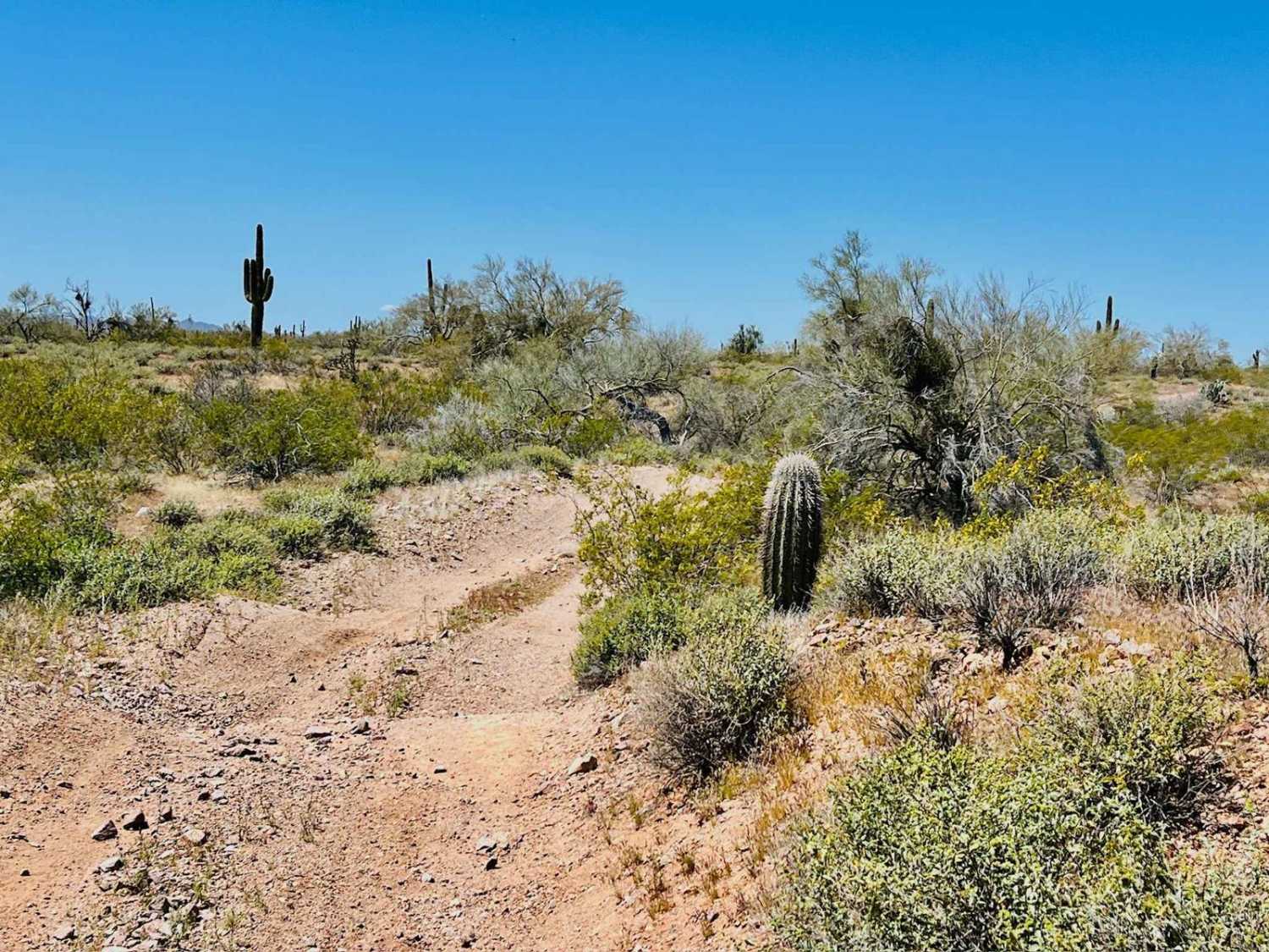
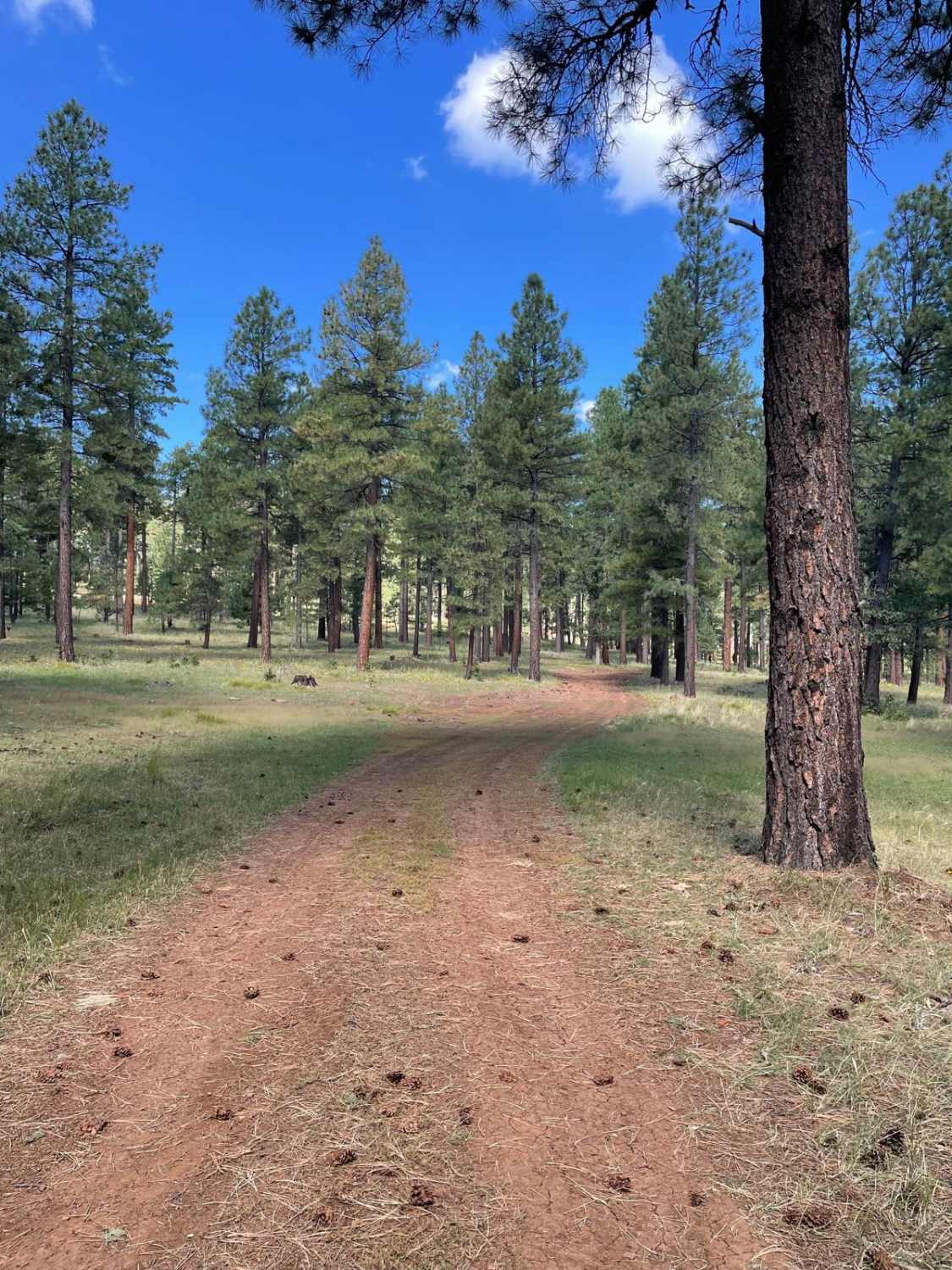
Potato Patch Tank Trail starts off of Forest Service Road 765. This trail consists of two forest service roads numbered 127A and 864. The Southeastern part of this trail is an easy-going dirt trail with some small erosion ruts. As you continue, the trail will start to descend downhill and become a more grassier surface. In this section, the trail is at times faint but still distinguishable. There are two obstacles on this grassy area of the trail. The first is a smaller hump on the trail which is a decent size. This hump is small compared to the next one right after it. After this small hump, there is a larger hump this trail goes right over. This dirt hump is quite large and has evidence of vehicles getting hardware knocked off of them. There are rocks stacked going up this obstacle to give a little more ground clearance to vehicles. Vehicles with longer wheel bases use extreme caution because this hump could definitely leave you high-centered on your chassis and send you walking for help. This hump is close to a 2 feet obstacle. After these two obstacles, the trail then traverses downhill and passes very close to Potato Patch Tank. There is a steep side grade while passing the tank so be careful not to slide in. If this tank has a high water level, this part might be impassable. After passing Potato Patch Tank, the trail evens out and comes to a forest service gate you must open and close. From this gate, the trail passes through a meadow and turns into Forest Service Road 127A. The trail becomes a little more rocky in areas as you reach the Northwest part of the road which is the ending point.
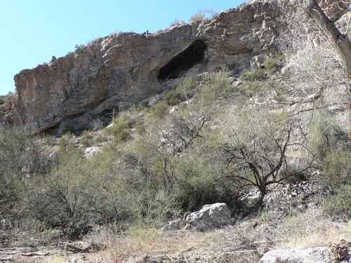
Photos of Potato Patch Tank Trail
Difficulty
Expect one obstacle up to 2 feet and the potential for a steep side-grade water crossing if the tank's water level is high.
Status Reports
Potato Patch Tank Trail can be accessed by the following ride types:
- High-Clearance 4x4
- SUV
- SxS (60")
- ATV (50")
- Dirt Bike
Potato Patch Tank Trail Map
Popular Trails

Pucker Ridge Bat Cave

Outlaw Hill Private Gate

9089 OHV Whoops

212/The Burned Hill
The onX Offroad Difference
onX Offroad combines trail photos, descriptions, difficulty ratings, width restrictions, seasonality, and more in a user-friendly interface. Available on all devices, with offline access and full compatibility with CarPlay and Android Auto. Discover what you’re missing today!

