Trail Overview
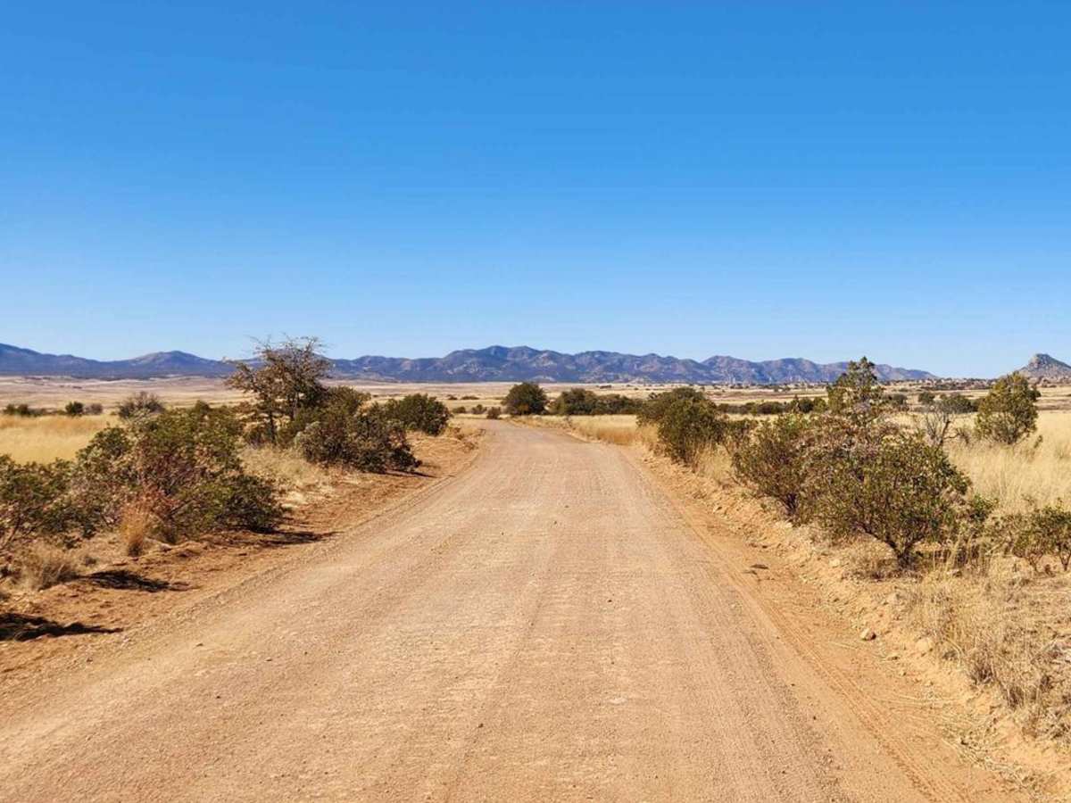
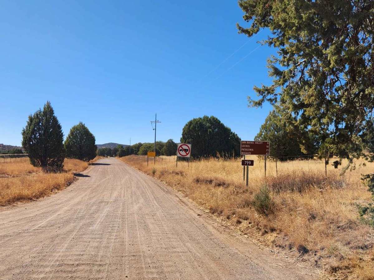
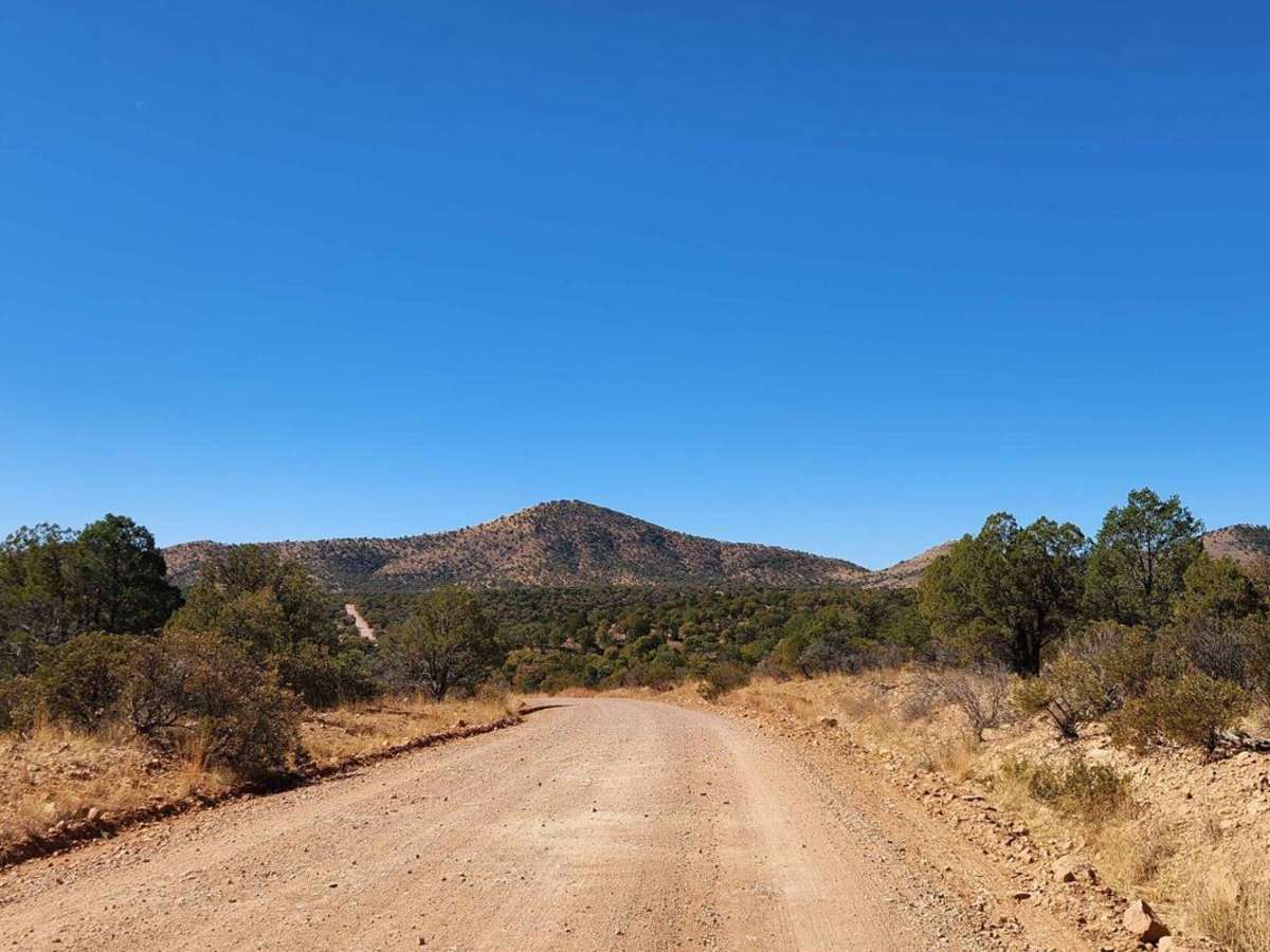
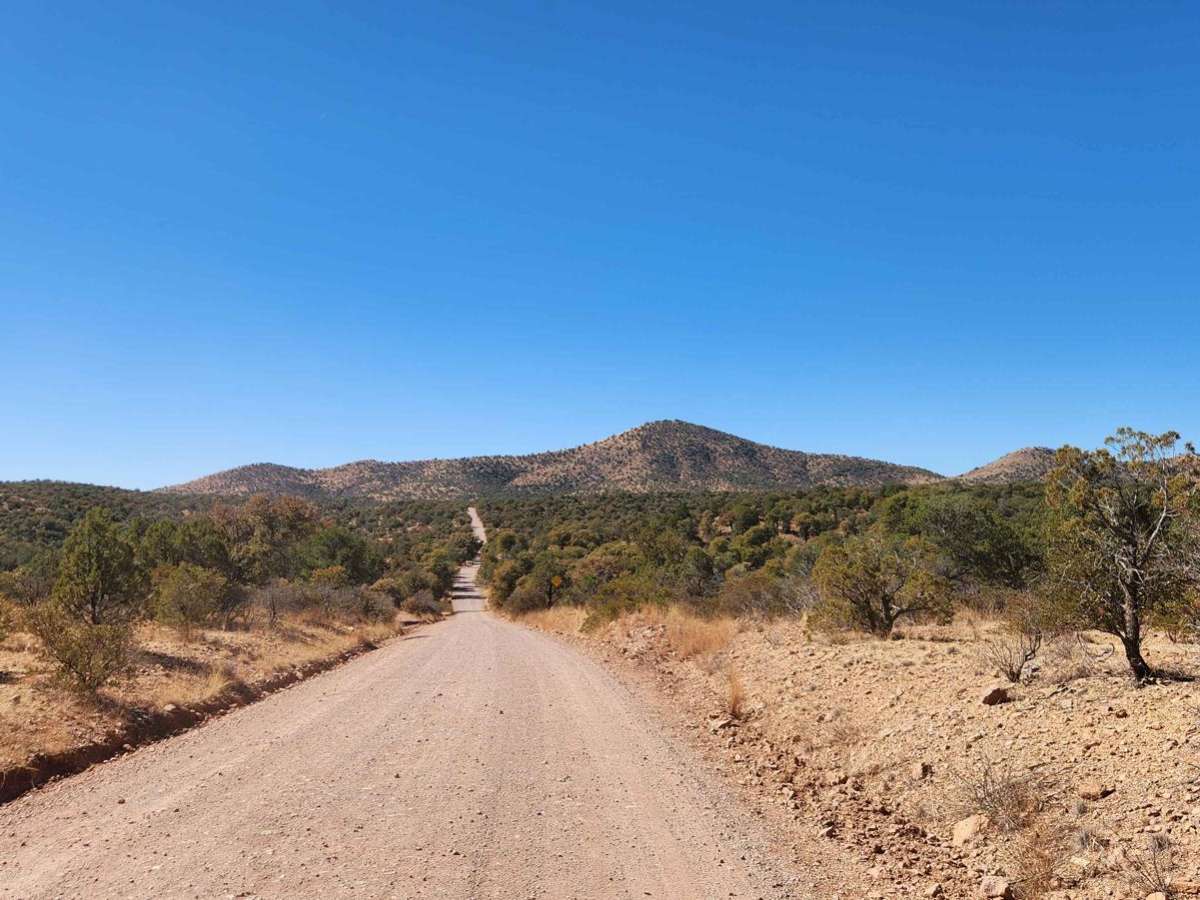
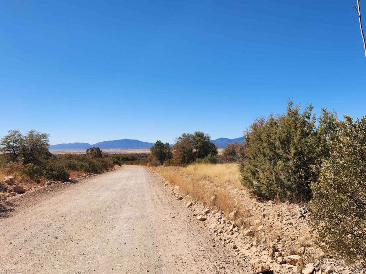
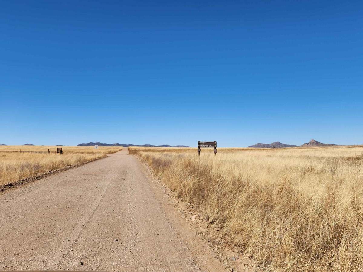
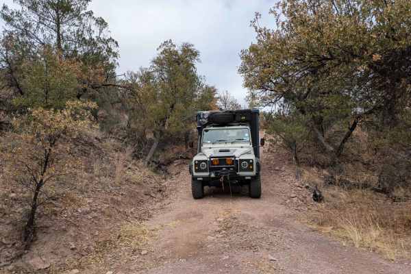
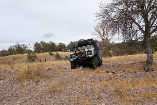
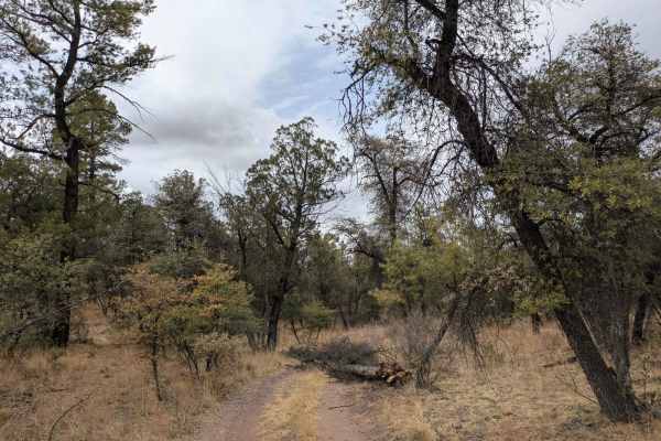
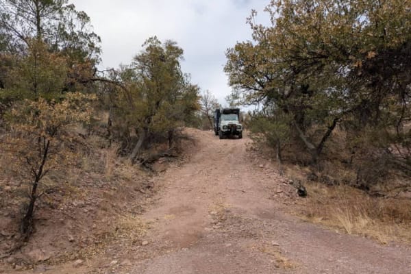
This trail will take you through the Sonoita area's 4,970-foot elevation, featuring high-rolling grasslands surrounded by spectacular mountains and canyons. This region offers some of Arizona's most beautiful weather and landscapes. Mount Wrightson, one of the tallest peaks in Arizona, dominates the horizon. In the Sonoita area, you might encounter a variety of wildlife. Common sightings include mule deer, pronghorn antelope, and javelinas. Bird watchers can enjoy spotting species like hawks, eagles, and songbirds. Since cell service is unreliable, it's a good idea to download your map before your trip.
History
In southwest Arizona, several ghost towns remain from the late 1800s mining boom. Harshaw, established in 1877, was once a thriving town with 2,000 residents, a post office, and a newspaper. However, a devastating fire and declining silver prices led to its decline. Nearby Mowry, the oldest settlement, was established in 1857 and produced $1.5 million in silver, lead, and zinc.Other ghost towns in the area include Washington Camp, a supply center for mining towns; Duquesne, a town that became productive in the late 1800s; and Lochiel, a prosperous mining and ranching community established in 1880. Today, visitors can explore the remains of these towns, including the Harshaw cemetery, a monument to Fray Marcos de Niza, and the remnants of buildings and mines in Duquesne and Lochiel.