Off-Road Trails in Arizona
Discover off-road trails in Arizona
Learn more about Camp Creek Access ATV Trail 
Camp Creek Access ATV Trail
Total Miles
1.7
Tech Rating
Easy
Best Time
Spring, Winter, Fall
Learn more about Camp Creek Access Single Track 
Camp Creek Access Single Track
Total Miles
0.9
Tech Rating
Easy
Best Time
Spring, Winter, Fall
Learn more about Camp Creek Wash to Bartlett Lake Road
Camp Creek Wash to Bartlett Lake Road
Total Miles
5.7
Tech Rating
Moderate
Best Time
Spring, Fall, Winter
Learn more about Camp Mojave to Linda Mine
Camp Mojave to Linda Mine
Total Miles
5.2
Tech Rating
Easy
Best Time
Spring, Fall
Learn more about Camp Verde Trail #545 (North)
Camp Verde Trail #545 (North)
Total Miles
10.4
Tech Rating
Easy
Best Time
Spring, Fall, Winter
Learn more about Camp Verde Trail #545 (South)
Camp Verde Trail #545 (South)
Total Miles
3.2
Tech Rating
Moderate
Best Time
Spring, Winter, Fall
Learn more about Canal to Indian School Spur
Canal to Indian School Spur
Total Miles
4.8
Tech Rating
Easy
Best Time
Spring, Summer, Fall, Winter
Learn more about Canal Upper East
Canal Upper East
Total Miles
3.0
Tech Rating
Easy
Best Time
Spring, Summer, Fall, Winter
Learn more about Canyon Camp Loop Ajo
Canyon Camp Loop Ajo
Total Miles
2.5
Tech Rating
Easy
Best Time
Spring, Winter
Learn more about Canyon Road
Canyon Road
Total Miles
1.0
Tech Rating
Easy
Best Time
Spring, Fall, Winter, Summer
Learn more about Canyon Ruins Tour
Canyon Ruins Tour
Total Miles
14.2
Tech Rating
Easy
Best Time
Spring, Summer, Fall
Learn more about Carefree Hwy R87 Exit - East Passage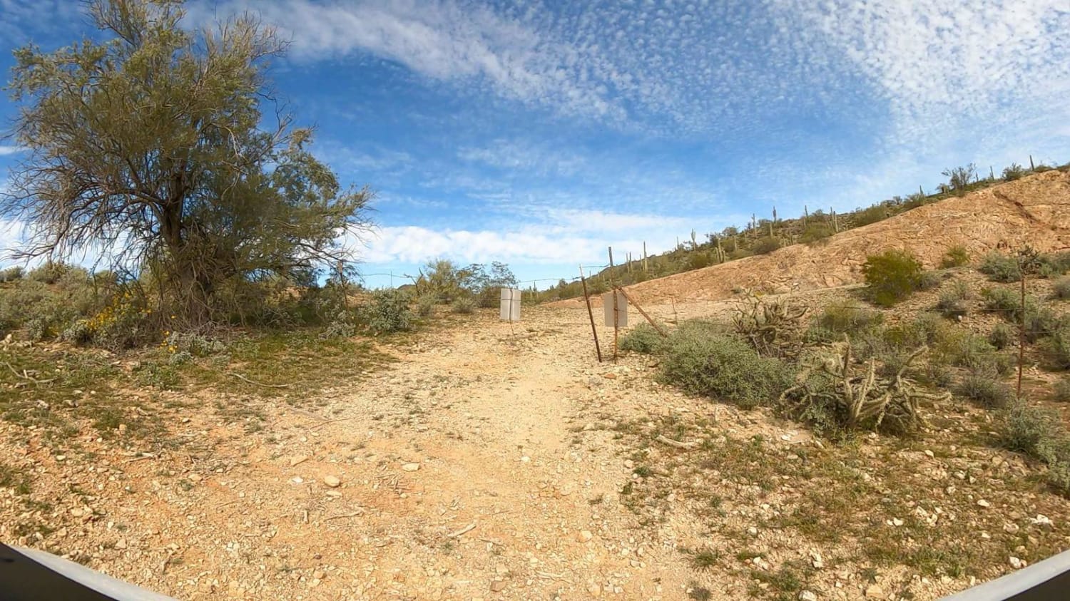
Carefree Hwy R87 Exit - East Passage
Total Miles
0.8
Tech Rating
Easy
Best Time
Spring, Summer, Fall, Winter
Learn more about Carefree Hwy R87 Exit - West Aqueduct Passage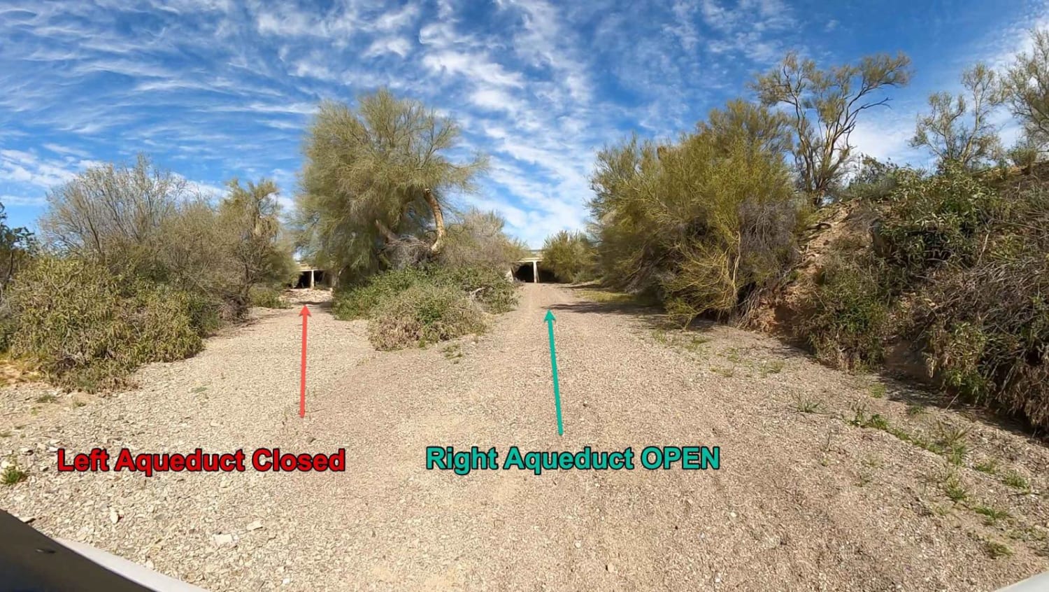
Carefree Hwy R87 Exit - West Aqueduct Passage
Total Miles
2.2
Tech Rating
Easy
Best Time
Spring, Summer, Fall, Winter
Learn more about Carnero Creek Trail
Carnero Creek Trail
Total Miles
5.9
Tech Rating
Easy
Best Time
Summer, Spring, Fall
Learn more about Carnero Springs Road 8556
Carnero Springs Road 8556
Total Miles
3.8
Tech Rating
Moderate
Best Time
Spring, Summer, Fall
Learn more about Carp Cove to Cottonwood Cove
Carp Cove to Cottonwood Cove
Total Miles
2.6
Tech Rating
Easy
Best Time
Spring, Fall
Learn more about Casner Mountain Trail
Casner Mountain Trail
Total Miles
6.6
Tech Rating
Moderate
Best Time
Spring, Summer, Fall
Learn more about Castaneda Hills
Castaneda Hills
Total Miles
8.8
Tech Rating
Easy
Best Time
Spring, Fall, Winter
ATV trails in Arizona
Learn more about Scrub Oak Bypass 
Scrub Oak Bypass
Total Miles
0.5
Tech Rating
Easy
Best Time
Spring, Summer, Fall


UTV/side-by-side trails in Arizona
Learn more about Scrub Oak Bypass
Scrub Oak Bypass
Total Miles
0.5
Tech Rating
Easy
Best Time
Spring, Summer, Fall
The onX Offroad Difference
onX Offroad combines trail photos, descriptions, difficulty ratings, width restrictions, seasonality, and more in a user-friendly interface. Available on all devices, with offline access and full compatibility with CarPlay and Android Auto. Discover what you’re missing today!