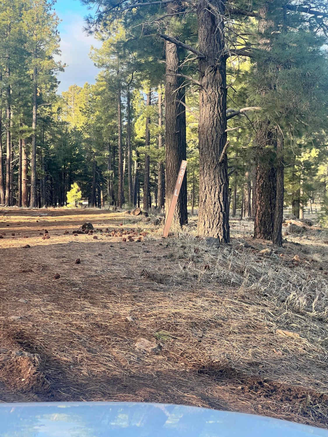
Camp Verde Trail #545 (North)
Total Miles
10.4
Technical Rating
Best Time
Spring, Fall, Winter
Trail Type
50" Trail
Accessible By
Trail Overview
Camp Verde Trail in total is a long 13-mile 50-inch trail in the Black Hills of Prescott National Forest near Camp Verde, Arizona. The north segment is a 10.7-mile stretch connecting the Copper Canyon and Hayfield Draw trailheads. The entire north segment is easy and rideable by a 50-inch ATV. It's a rocky two-track, with lots of tight curves, going up and over lots of rolling mesas and crossing small ravines. There are a couple of big dips to look out for, small ruts, and lots of loose rocks, but it's all easy terrain with no obstacles. It follows a bunch of telephone poles for part of it, and it crosses a main dirt road. It goes underneath Highway 17 twice through two tunnels, and it has several ramped pinch points to go through cattle fences. This northern segment of the trail is popular with horses and hikers as well. There are lots of smooth sections of the trail, and it stays mostly flat, with only a few steeper and rockier climbs. Since it is overall very easy, it would be a very fun and scenic cruiser ride for an ATV. It goes through a nice Sonoran Desert terrain with juniper trees, but lots of spiky shrubs that grab you as you ride by. You can connect to the southern portion of the trail by taking the west turn marked for #545 which is just north of the Copper Canyon Trailhead. The southern segment is much more difficult for ATVs due to off-camber sections and rockier climbs.
Photos of Camp Verde Trail #545 (North)
Difficulty
This entire segment of the Camp Verde Trail is of easy difficulty with lots of loose rocks, big dips, and some tight turns.
Status Reports
Camp Verde Trail #545 (North) can be accessed by the following ride types:
- ATV (50")
- Dirt Bike
Camp Verde Trail #545 (North) Map
Popular Trails

Chiricahua Byway

Wrangler's Nest Trail
Thomas Point Connector
The onX Offroad Difference
onX Offroad combines trail photos, descriptions, difficulty ratings, width restrictions, seasonality, and more in a user-friendly interface. Available on all devices, with offline access and full compatibility with CarPlay and Android Auto. Discover what you’re missing today!
