Canal Upper East
Total Miles
3.0
Technical Rating
Best Time
Spring, Summer, Fall, Winter
Trail Type
Full-Width Road
Accessible By
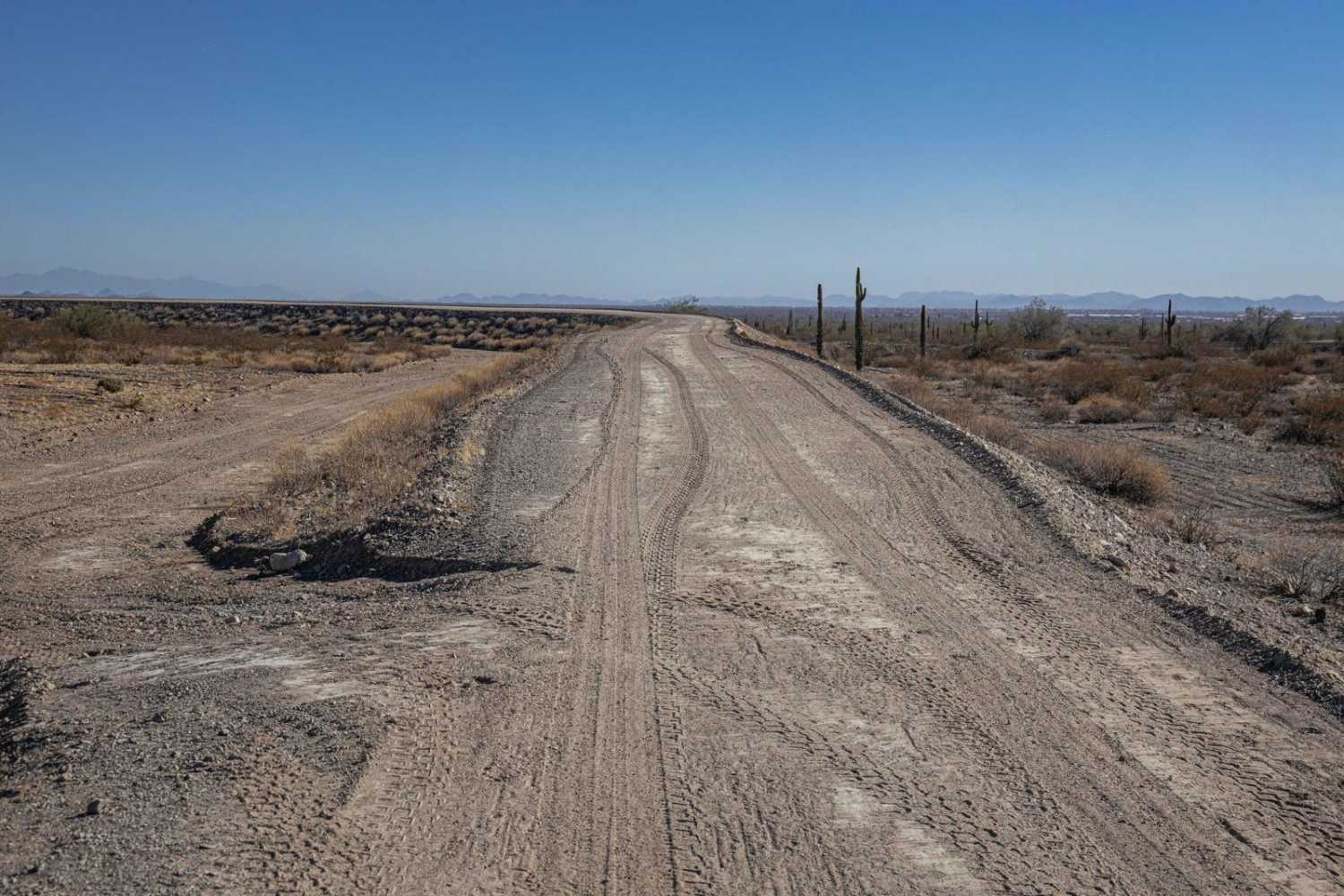
Trail Overview
The Canal Upper East Trail offers a high, elevated route with dramatic steep drop-offs that add a touch of excitement to the ride. While there are no obstacles to navigate, the narrow path and striking elevation demand your focus. This trail is all about the views and the thrill of riding along the edge. A great choice for those seeking a scenic and slightly nerve-tingling drive through Arizona's desert terrain!
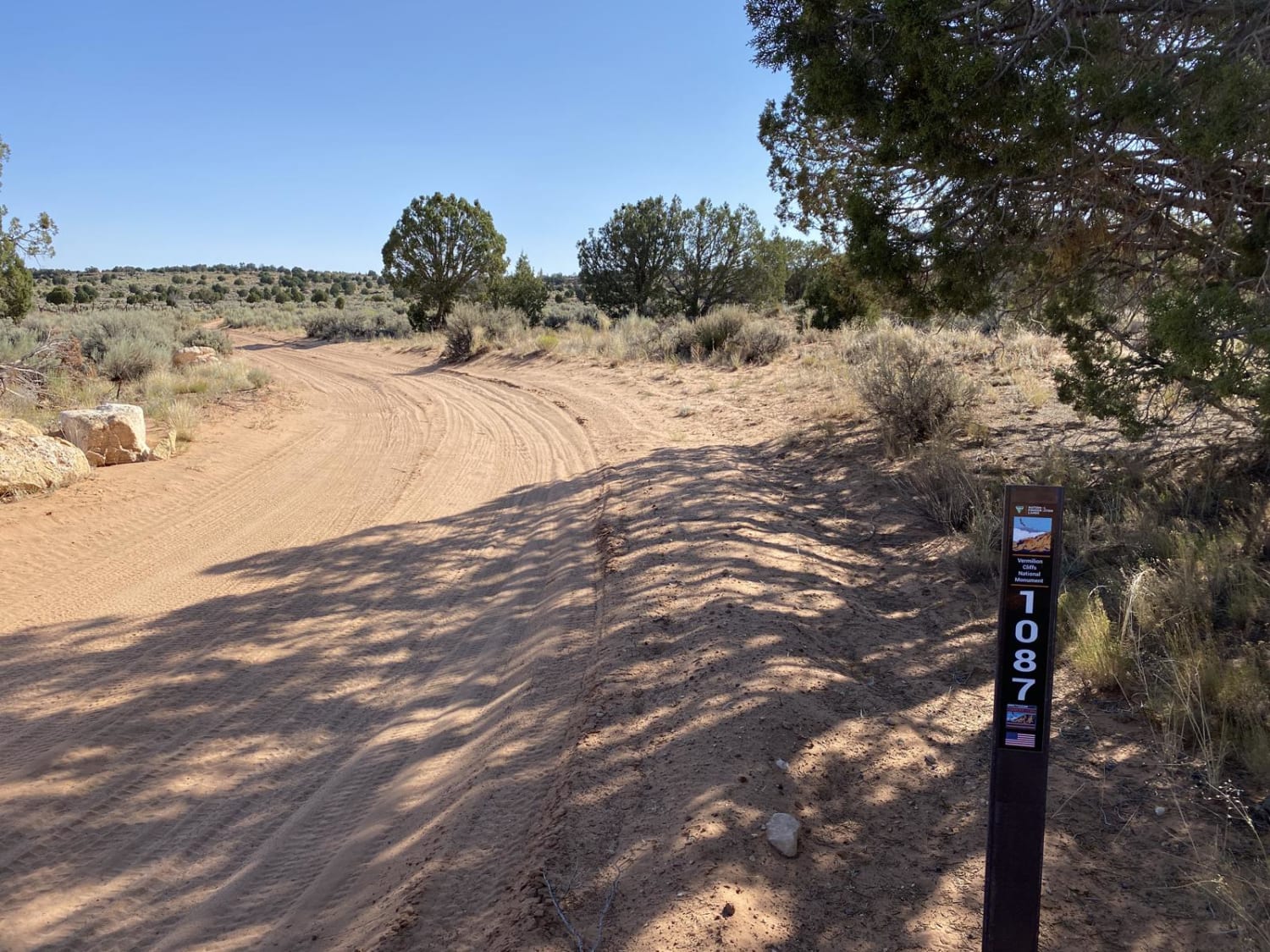
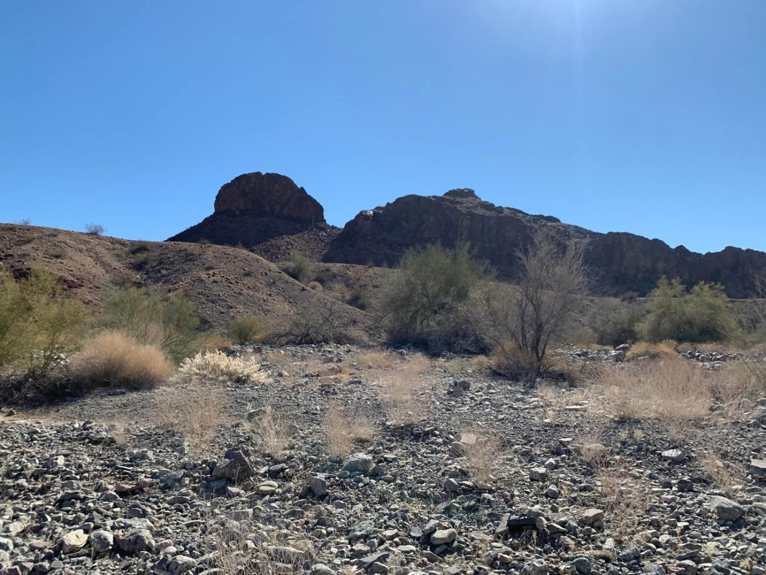
Photos of Canal Upper East

Difficulty
This is a semi-maintained trail above the canal that runs from Arizona to California. While the canal itself is fenced off, this trail gives stunning views of the surrounding landscape while keeping your focus as it is narrow. There are no obstacles on this trail, but with steep drop-offs on either side, it's not a speed run either.
Canal Upper East can be accessed by the following ride types:
- High-Clearance 4x4
- SUV
- SxS (60")
- ATV (50")
- Dirt Bike
Canal Upper East Map
Popular Trails
White Pocket Road
Muggins Mountain West

Desert Singletrack

Milk Ranch Point
The onX Offroad Difference
onX Offroad combines trail photos, descriptions, difficulty ratings, width restrictions, seasonality, and more in a user-friendly interface. Available on all devices, with offline access and full compatibility with CarPlay and Android Auto. Discover what you’re missing today!