Muggins Mountain West
Total Miles
5.4
Technical Rating
Best Time
Spring, Summer, Fall, Winter
Trail Type
High-Clearance 4x4 Trail
Accessible By
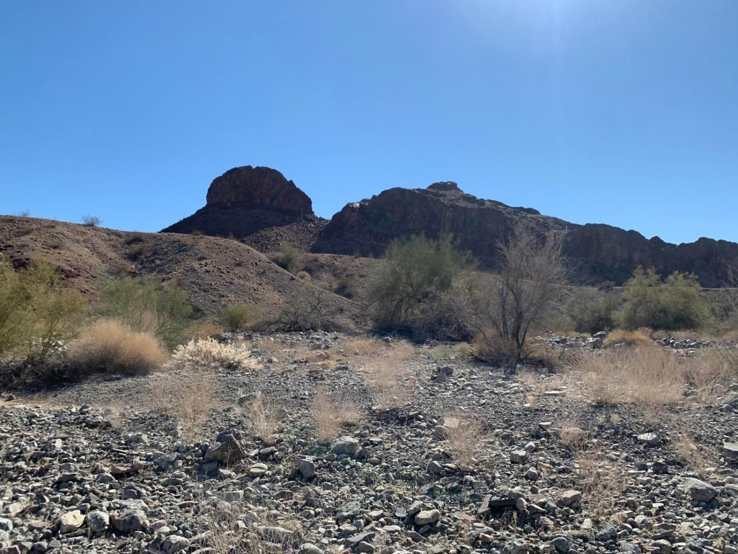
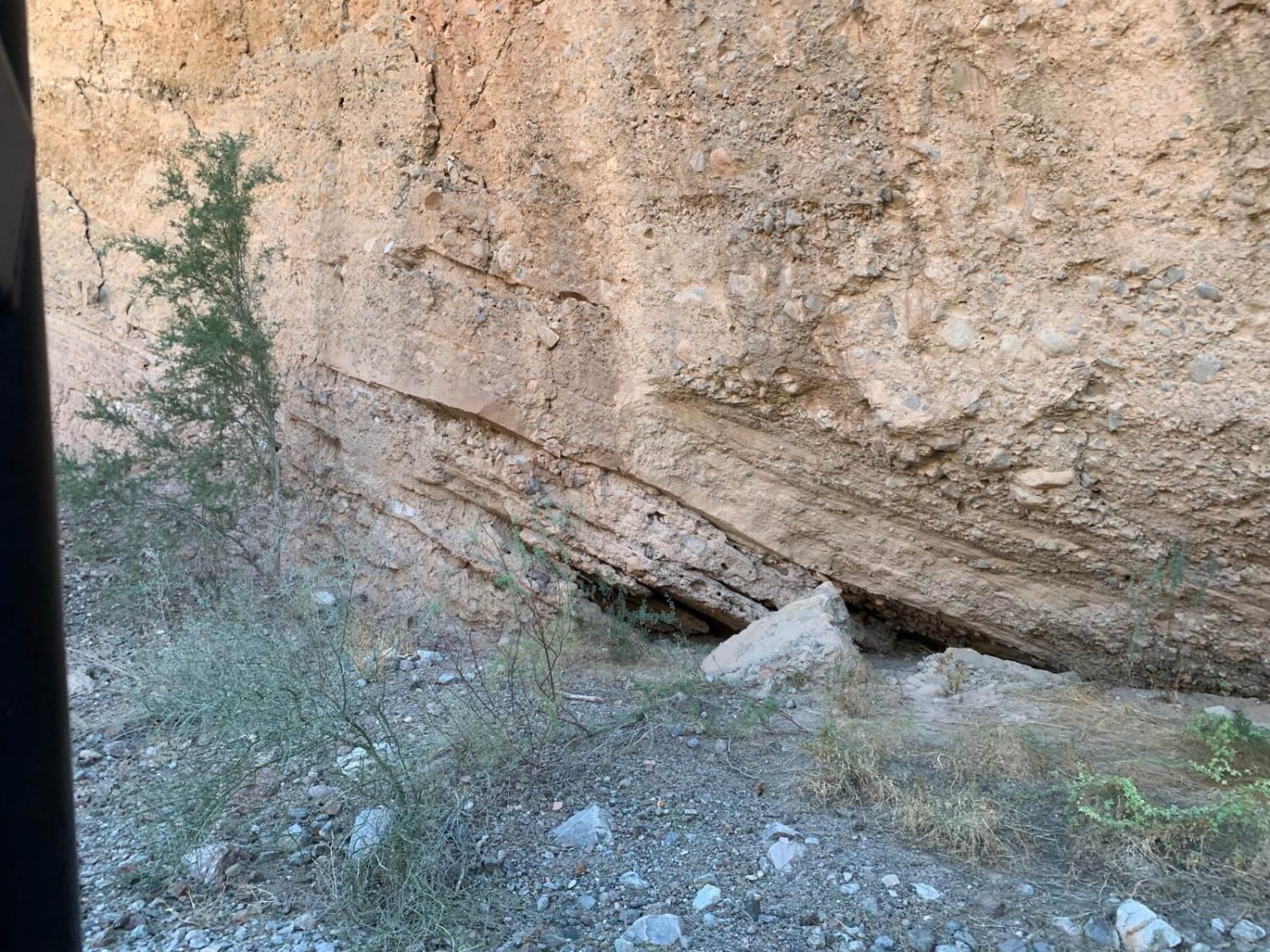
Trail Overview
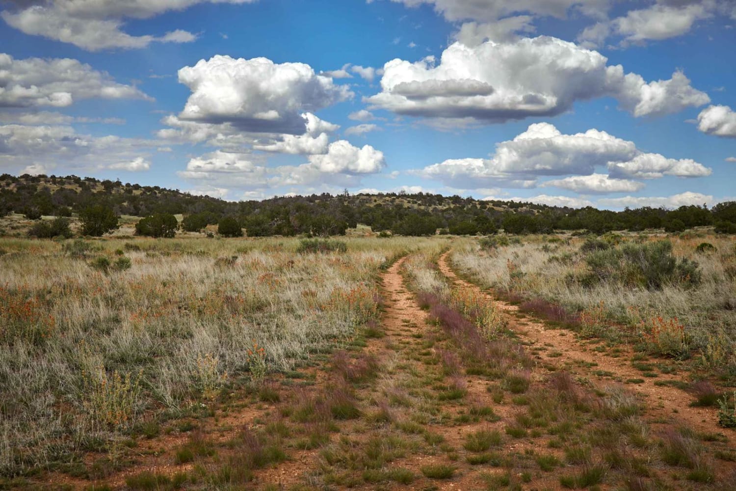
This is a fun desert mountain trail that includes a combination of wide sand washes to very narrow, deep, meandering sand washes. There are vertical 20-foot side walls, sheer rock cliffs (some with petroglyphs), a section of tight, steep, rocky switchbacks, desert mountain ridge trails with lots of vertical development, ancient abandoned mines, and a fairly recent and nicely done shrine to a fellow SXS'r who loved this area (RIP, Buddy). Except for the short, steep switchback section rated a 5, the rest of the trail is an easy 2 to 3 with great mountain scenery to be enjoyed from the high ridge-top trails. As always, beware of flash flooding during the monsoon season--the deep gullies along this track can fill up in a heartbeat and wash away anything that is in the way.
Photos of Muggins Mountain West
Difficulty
As mentioned above, expect a Level Two trail except for a rather steep, twisty, rocky switchback section less than a quarter mile long.
History
These trails were all blazed by miners between the late 1800s to early 1900s. You will see remnants of these old mines along the trail.
Status Reports
Muggins Mountain West can be accessed by the following ride types:
- High-Clearance 4x4
- SxS (60")
- ATV (50")
- Dirt Bike
Muggins Mountain West Map
Popular Trails

Blue Monster
The onX Offroad Difference
onX Offroad combines trail photos, descriptions, difficulty ratings, width restrictions, seasonality, and more in a user-friendly interface. Available on all devices, with offline access and full compatibility with CarPlay and Android Auto. Discover what you’re missing today!