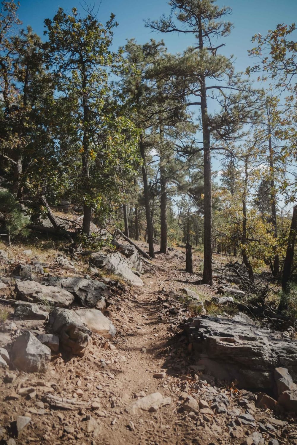
Off-Road Trails in Arizona
Discover off-road trails in Arizona
Learn more about Verde Sunflower
Verde Sunflower
Total Miles
13.9
Tech Rating
Moderate
Best Time
Spring, Fall, Winter
Learn more about Victory Crossover
Victory Crossover
Total Miles
3.7
Tech Rating
Easy
Best Time
Spring, Summer, Fall
Learn more about Volcanic Pastures
Volcanic Pastures
Total Miles
5.1
Tech Rating
Easy
Best Time
Spring, Summer, Fall, Winter
Learn more about Volcano Bumps
Volcano Bumps
Total Miles
3.1
Tech Rating
Easy
Best Time
Spring, Summer, Fall
Learn more about Wagon Tracks, Apache Tears and Arnett Canyon
Wagon Tracks, Apache Tears and Arnett Canyon
Total Miles
2.6
Tech Rating
Easy
Best Time
Spring, Summer, Fall, Winter
Learn more about Wakefield Cabin 
Wakefield Cabin
Total Miles
6.0
Tech Rating
Moderate
Best Time
Fall, Winter, Summer, Spring
Learn more about Walker Basin - FS 214B
Walker Basin - FS 214B
Total Miles
3.7
Tech Rating
Moderate
Best Time
Spring, Summer, Fall
Learn more about Walker Gulch to French Creek
Walker Gulch to French Creek
Total Miles
5.7
Tech Rating
Easy
Best Time
Spring
Learn more about Walker Gulch to Senator Highway and Crown King
Walker Gulch to Senator Highway and Crown King
Total Miles
20.3
Tech Rating
Moderate
Best Time
Spring, Summer, Fall, Winter
Learn more about Walker Hill Trail
Walker Hill Trail
Total Miles
4.7
Tech Rating
Easy
Best Time
Summer, Spring
Learn more about Wallace Road
Wallace Road
Total Miles
13.9
Tech Rating
Easy
Best Time
Spring, Summer, Fall
Learn more about Walnut Creek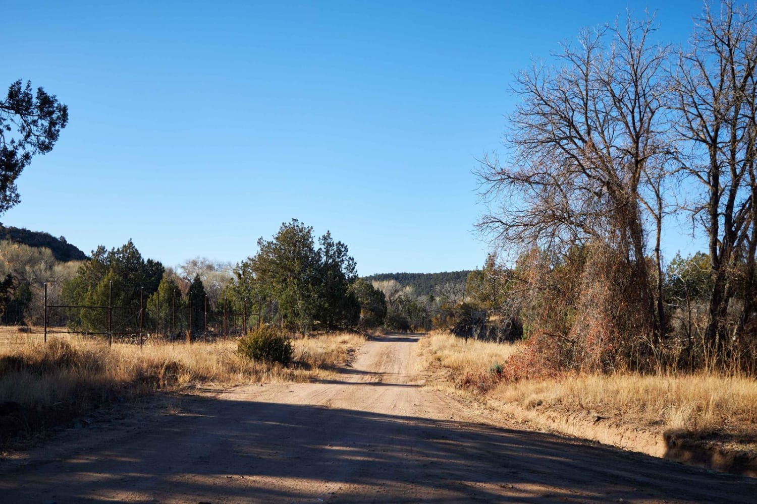
Walnut Creek
Total Miles
10.9
Tech Rating
Easy
Best Time
Spring, Summer, Fall
Learn more about Walnut Creek to Survivalist Camp Trail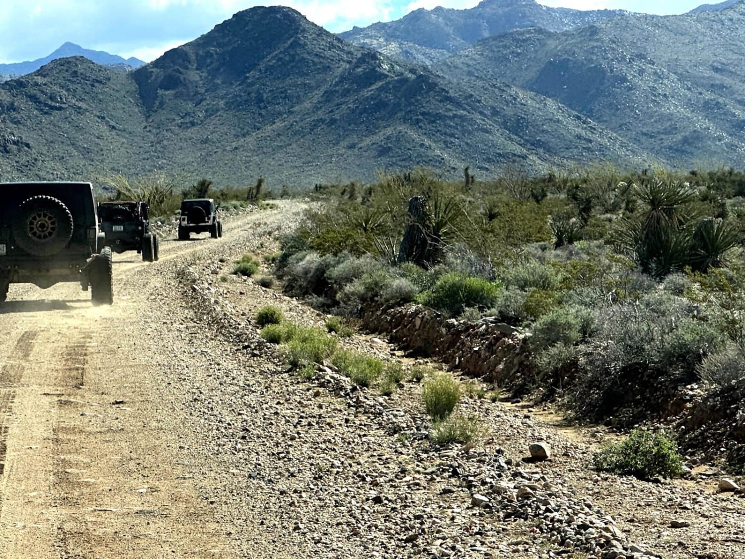
Walnut Creek to Survivalist Camp Trail
Total Miles
16.9
Tech Rating
Moderate
Best Time
Spring, Summer, Fall, Winter
Learn more about Walnut Overlook
Walnut Overlook
Total Miles
0.6
Tech Rating
Moderate
Best Time
Summer, Fall
Learn more about Walnut Spring Trail
Walnut Spring Trail
Total Miles
3.5
Tech Rating
Easy
Best Time
Spring, Summer, Fall, Winter
Learn more about Warm Fire Resto
Warm Fire Resto
Total Miles
3.2
Tech Rating
Easy
Best Time
Spring, Summer, Fall
ATV trails in Arizona
Learn more about Scrub Oak Bypass 
Scrub Oak Bypass
Total Miles
0.5
Tech Rating
Easy
Best Time
Spring, Summer, Fall


UTV/side-by-side trails in Arizona
Learn more about Scrub Oak Bypass
Scrub Oak Bypass
Total Miles
0.5
Tech Rating
Easy
Best Time
Spring, Summer, Fall
The onX Offroad Difference
onX Offroad combines trail photos, descriptions, difficulty ratings, width restrictions, seasonality, and more in a user-friendly interface. Available on all devices, with offline access and full compatibility with CarPlay and Android Auto. Discover what you’re missing today!