Walnut Creek to Survivalist Camp Trail
Total Miles
16.9
Technical Rating
Best Time
Spring, Summer, Fall, Winter
Trail Type
Full-Width Road
Accessible By
Trail Overview
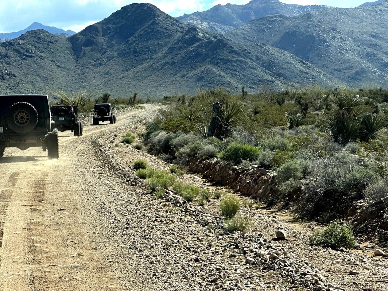
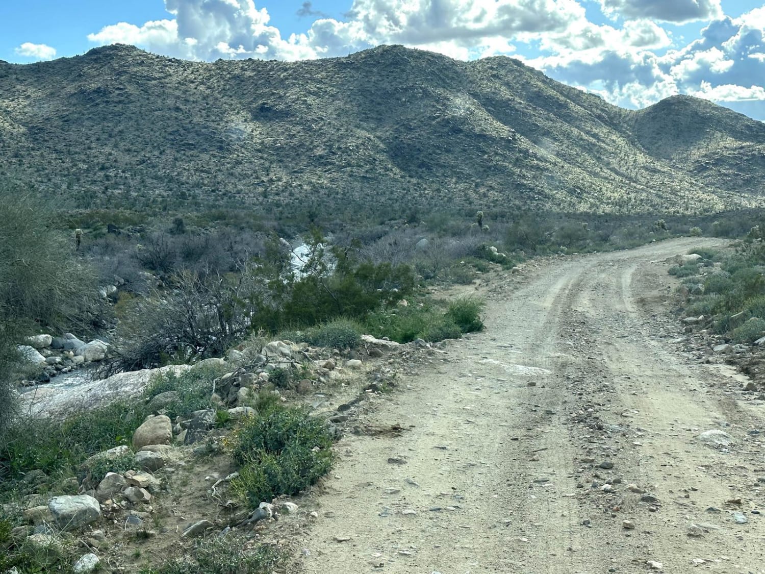
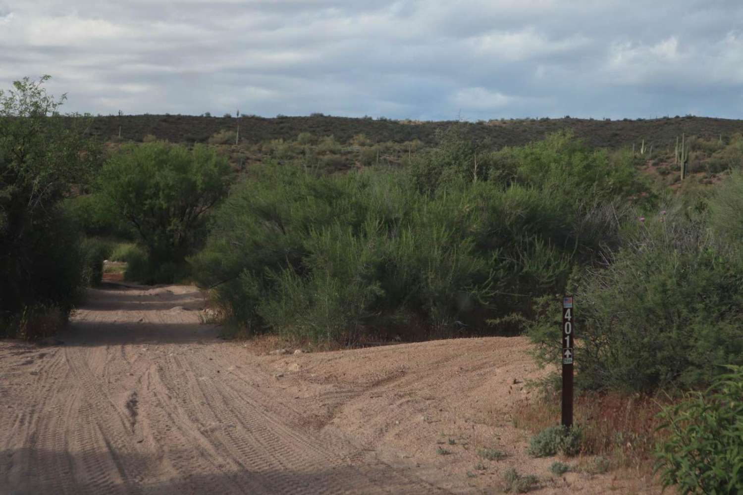
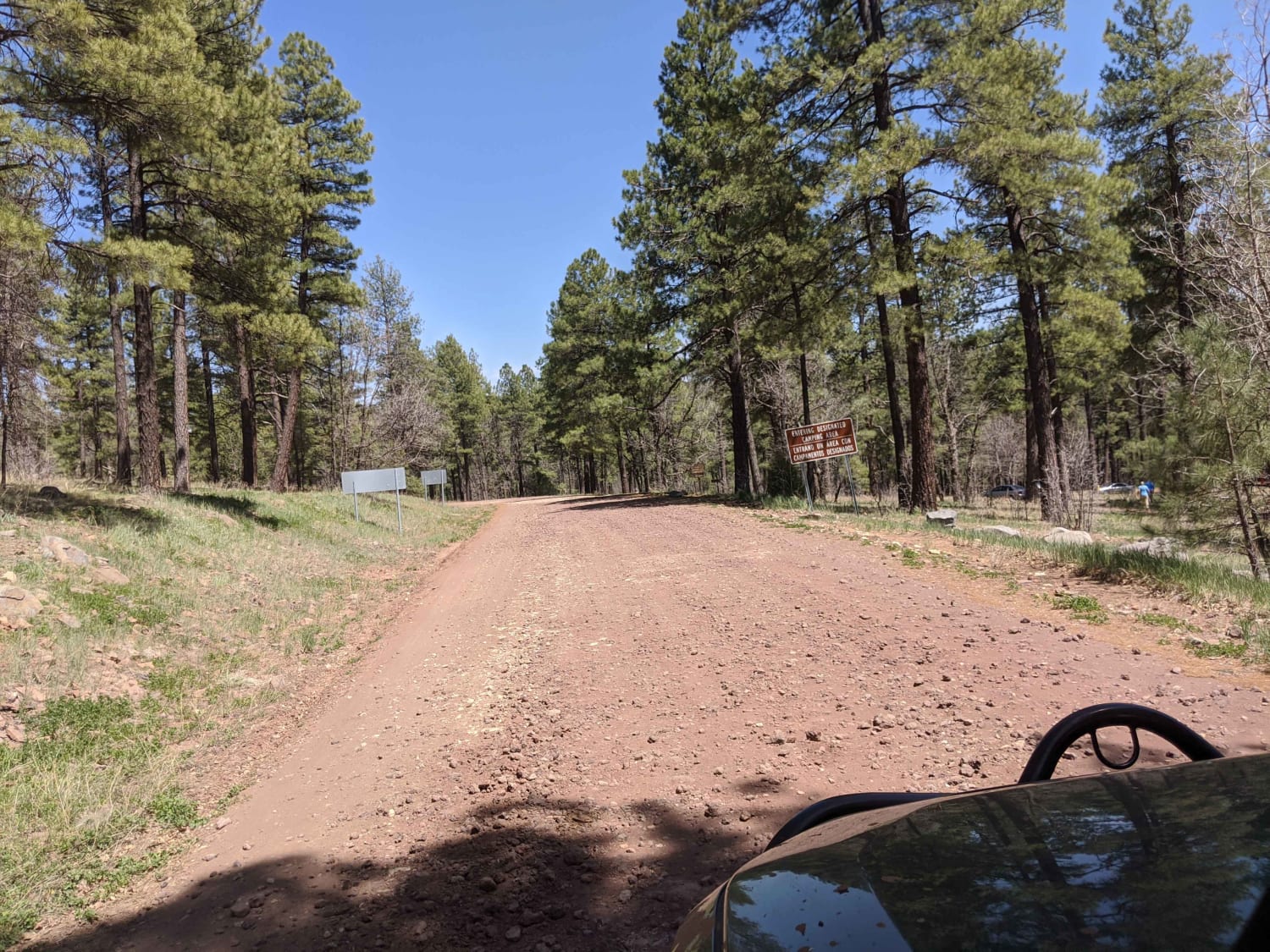
This 17.1-mile point-to-point trail takes you along Walnut Creek (seasonal water flow) past Walnut Ranch and the Hualapai Survivalist Camp and connects to the Hualapai Mountain Trail. At 0.7 miles on the trail, right before the 3-track rail crossing, you will pass a memorial for three local off-roaders that were hit by a train while crossing. This is why all local off-roaders now pass under the bridge that is off to the left. At 8.3 miles you will pass Walnut Creek Ranch, this is private property, please follow the sign directions, stay on the main trail, and do not trespass. At 11.1 miles there are some petroglyphs high on the rocks that require some hiking/bouldering to see. At 12.7 miles you will enter the Hualapai Survivalist Camp, this is private property, stay on the main trail and do not trespass in the buildings. In the Spring and Fall water will be flowing in Walnut Creek, and multiple water crossings are possible. After passing the Survivalist camp the trail becomes more difficult with a long climb named the escalator. This is a series of step climbs with washed-out sections up to 2 feet deep. There is also overgrowth on the upper section of the trail and pinstriping is possible.
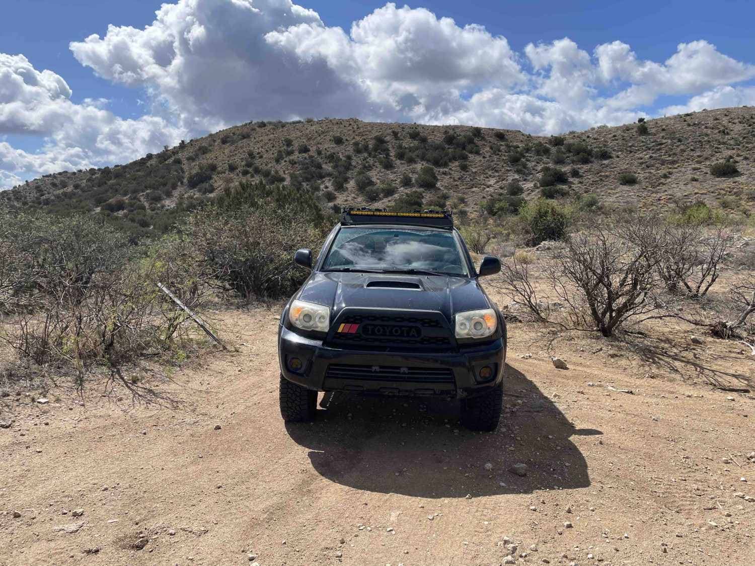
Photos of Walnut Creek to Survivalist Camp Trail
Difficulty
Multiple possible water crossings up to 12" in depth.
Status Reports
Walnut Creek to Survivalist Camp Trail can be accessed by the following ride types:
- High-Clearance 4x4
- SUV
- SxS (60")
- ATV (50")
- Dirt Bike
Walnut Creek to Survivalist Camp Trail Map
Popular Trails

Canal to Indian School Spur
Park Tank Road #4424
The onX Offroad Difference
onX Offroad combines trail photos, descriptions, difficulty ratings, width restrictions, seasonality, and more in a user-friendly interface. Available on all devices, with offline access and full compatibility with CarPlay and Android Auto. Discover what you’re missing today!
