Off-Road Trails in Arizona
Discover off-road trails in Arizona

Learn more about Sols Tricky Washout
Sols Tricky Washout
Total Miles
3.9
Tech Rating
Easy
Best Time
Spring, Summer, Fall, Winter
Learn more about Sonoran Desert 8009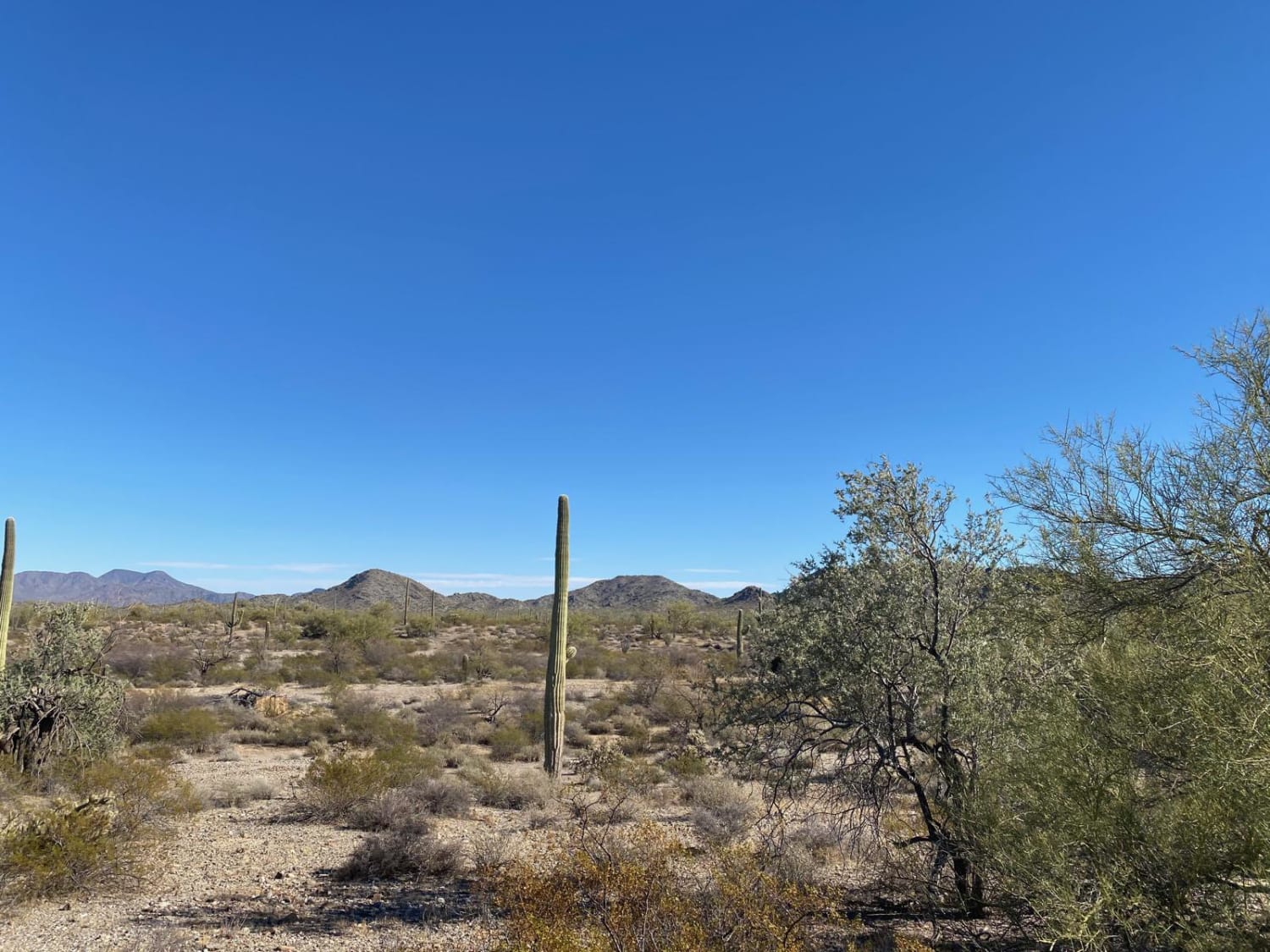
Sonoran Desert 8009
Total Miles
11.9
Tech Rating
Easy
Best Time
Spring, Fall, Winter
Learn more about Sonoran Desert National Monument Trail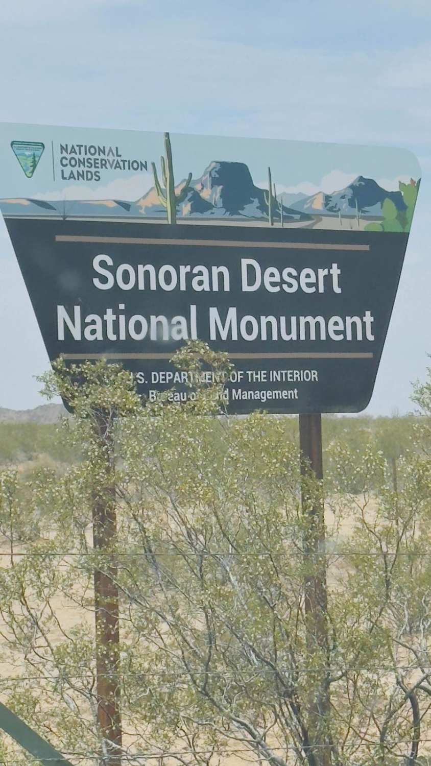
Sonoran Desert National Monument Trail
Total Miles
13.1
Tech Rating
Easy
Best Time
Winter, Fall, Spring
Learn more about Sorrels Ranch Offshoot
Sorrels Ranch Offshoot
Total Miles
2.6
Tech Rating
Easy
Best Time
Spring, Summer, Fall, Winter
Learn more about South Big Bug Mesa Outlook
South Big Bug Mesa Outlook
Total Miles
0.6
Tech Rating
Easy
Best Time
Spring, Summer, Fall
Learn more about South Levee to Yuma
South Levee to Yuma
Total Miles
12.0
Tech Rating
Easy
Best Time
Spring, Fall, Winter, Summer
Learn more about South Loop
South Loop
Total Miles
3.2
Tech Rating
Moderate
Best Time
Spring, Summer, Fall, Winter
Learn more about South Mariposa to Turtleback
South Mariposa to Turtleback
Total Miles
3.6
Tech Rating
Moderate
Best Time
Winter, Fall, Spring
Learn more about South Mesa
South Mesa
Total Miles
9.9
Tech Rating
Moderate
Best Time
Spring, Summer, Fall, Winter
Learn more about South of Gila River
South of Gila River
Total Miles
23.9
Tech Rating
Moderate
Best Time
Summer, Fall
Learn more about South Power Slog
South Power Slog
Total Miles
5.0
Tech Rating
Moderate
Best Time
Spring, Summer, Fall
Learn more about South Powerline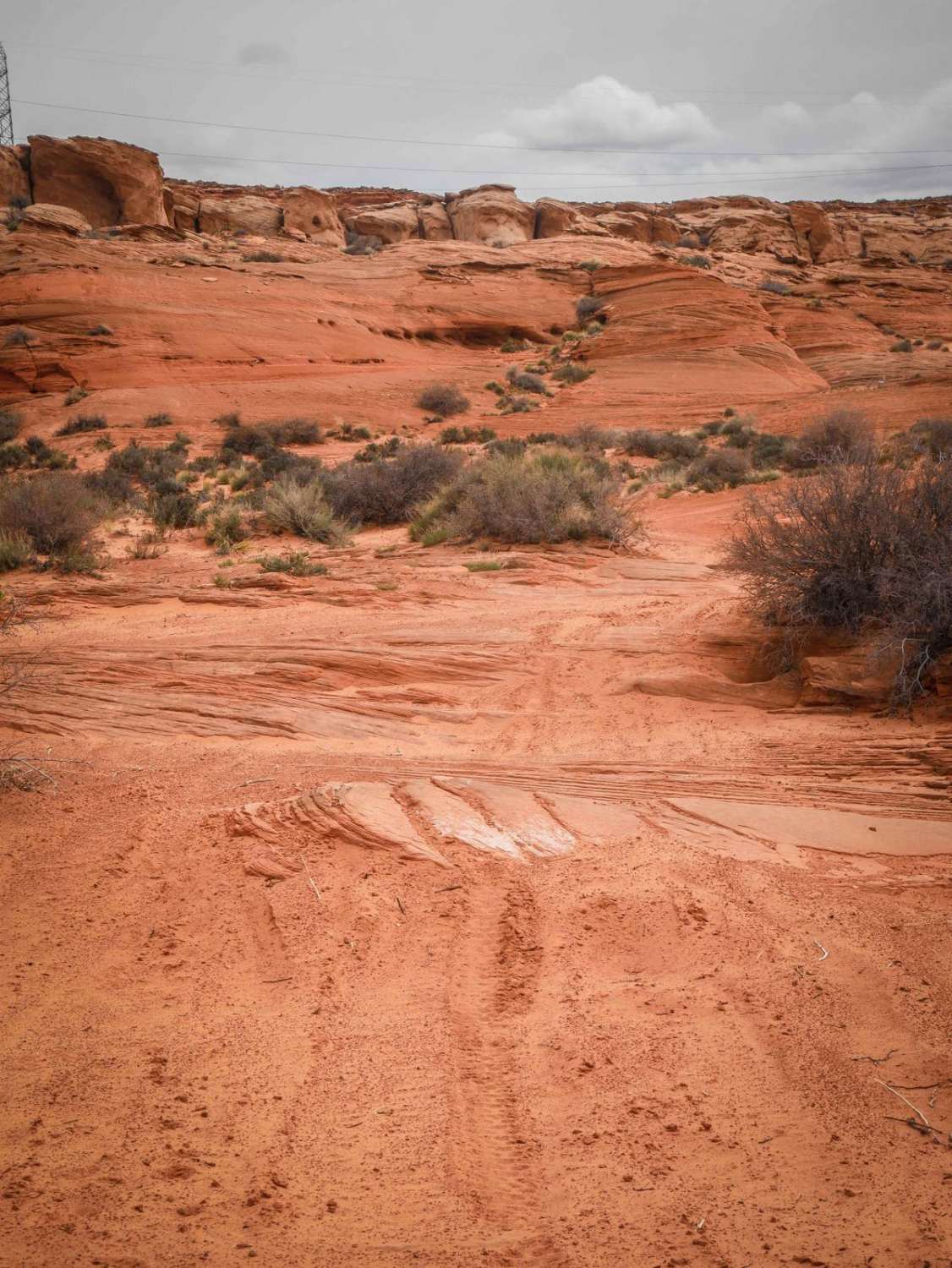
South Powerline
Total Miles
2.0
Tech Rating
Easy
Best Time
Winter, Fall, Spring
Learn more about South Pygmy Owl Trail
South Pygmy Owl Trail
Total Miles
4.4
Tech Rating
Easy
Best Time
Spring, Summer, Winter, Fall
Learn more about South Spur Loop to Oatman
South Spur Loop to Oatman
Total Miles
3.6
Tech Rating
Easy
Best Time
Spring, Fall
Learn more about South Walker Road
South Walker Road
Total Miles
3.8
Tech Rating
Easy
Best Time
Spring, Summer, Fall
Learn more about Southbound and Down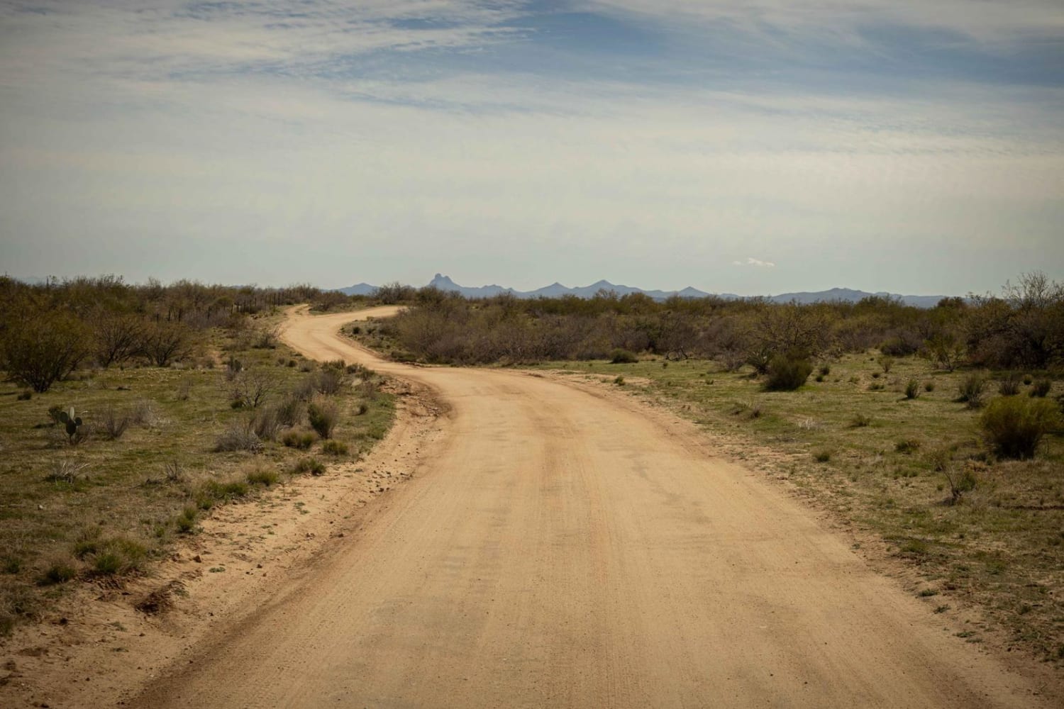
Southbound and Down
Total Miles
6.1
Tech Rating
Easy
Best Time
Spring, Summer, Fall
Learn more about Southern Cross Mine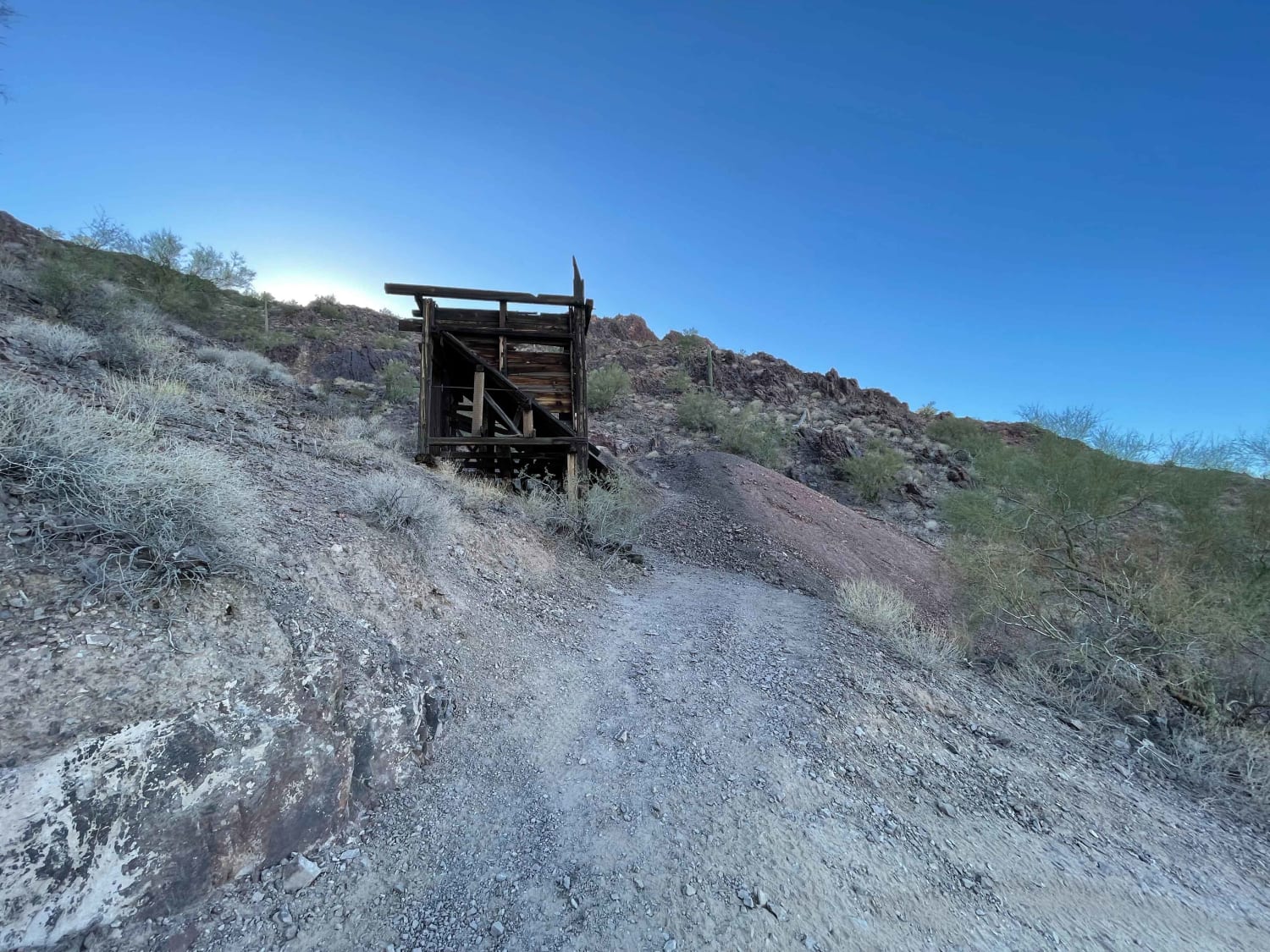
Southern Cross Mine
Total Miles
4.5
Tech Rating
Moderate
Best Time
Spring, Fall, Winter
Learn more about Southern Pass 
Southern Pass
Total Miles
5.8
Tech Rating
Difficult
Best Time
Spring, Fall, Winter
Learn more about Southern Silt Bed/Muddy Bypass
Southern Silt Bed/Muddy Bypass
Total Miles
1.3
Tech Rating
Moderate
Best Time
Spring, Fall, Winter
ATV trails in Arizona
Learn more about Scrub Oak Bypass 
Scrub Oak Bypass
Total Miles
0.5
Tech Rating
Easy
Best Time
Spring, Summer, Fall


UTV/side-by-side trails in Arizona
Learn more about Scrub Oak Bypass
Scrub Oak Bypass
Total Miles
0.5
Tech Rating
Easy
Best Time
Spring, Summer, Fall
The onX Offroad Difference
onX Offroad combines trail photos, descriptions, difficulty ratings, width restrictions, seasonality, and more in a user-friendly interface. Available on all devices, with offline access and full compatibility with CarPlay and Android Auto. Discover what you’re missing today!