South Levee to Yuma
Total Miles
12.0
Technical Rating
Best Time
Spring, Fall, Winter, Summer
Trail Type
Full-Width Road
Accessible By
Trail Overview
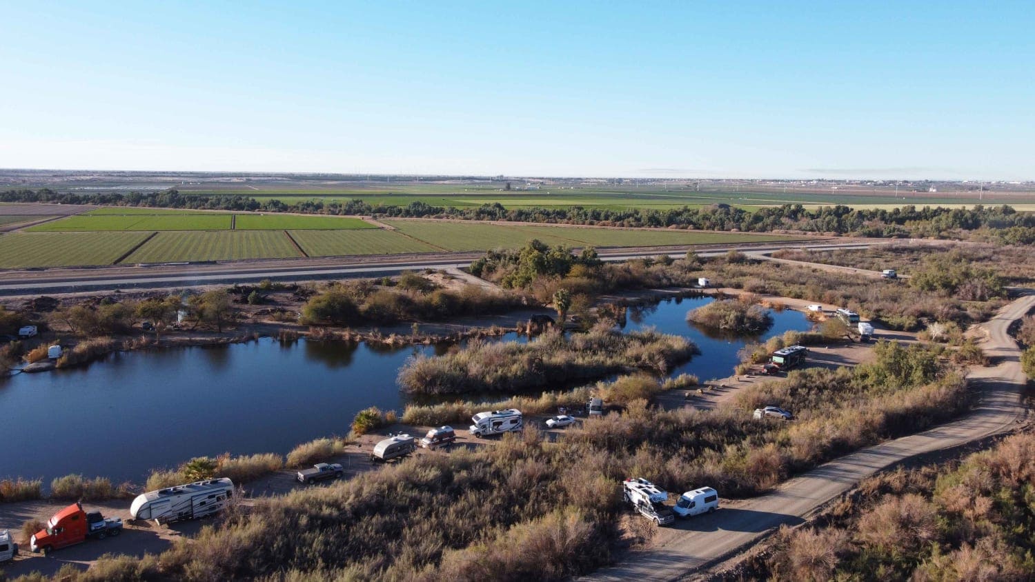
South Levee Road to Yuma is a wide elevated road with many washboards and several deep potholes. It follows along the Gila Aqueduct until reaching the Colorado River. The confluence is a popular river access point with open riding opportunities as well as fishing and camping. This road also passes Fortuna Pond a stocked BLM fishing pond with camping around the lake as well. If traveling west the road ends at Yuma Prison Hill State Park taking you into Historic Downtown Yuma Arizona.
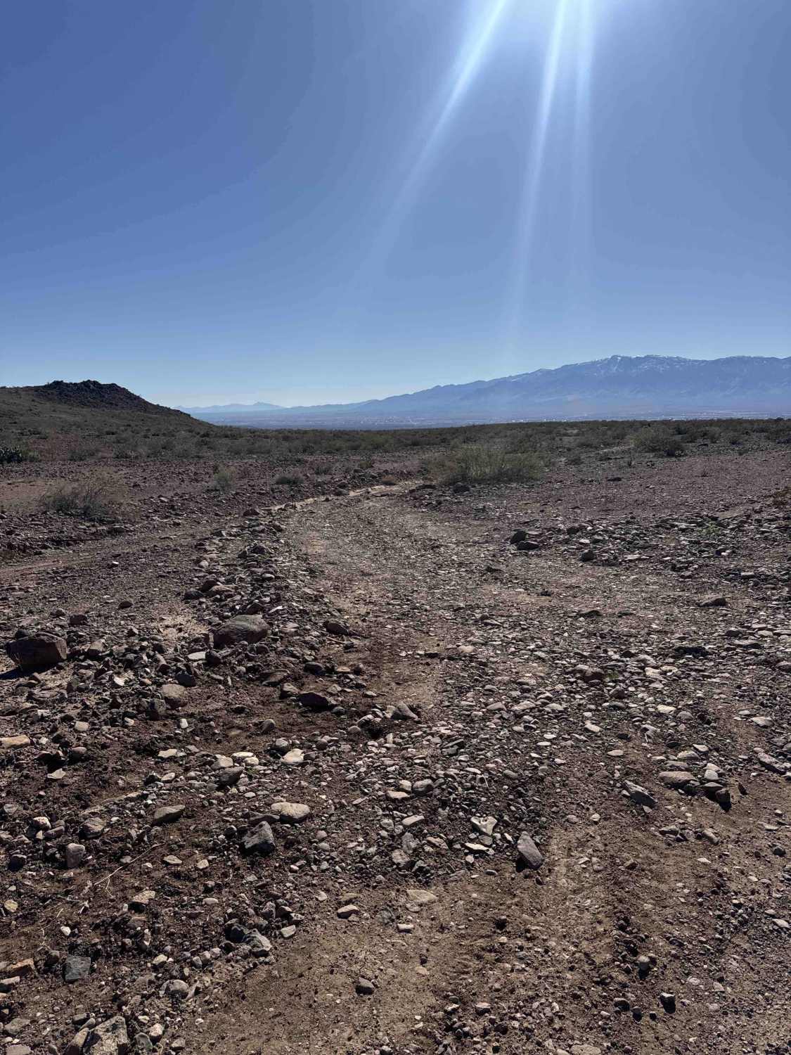
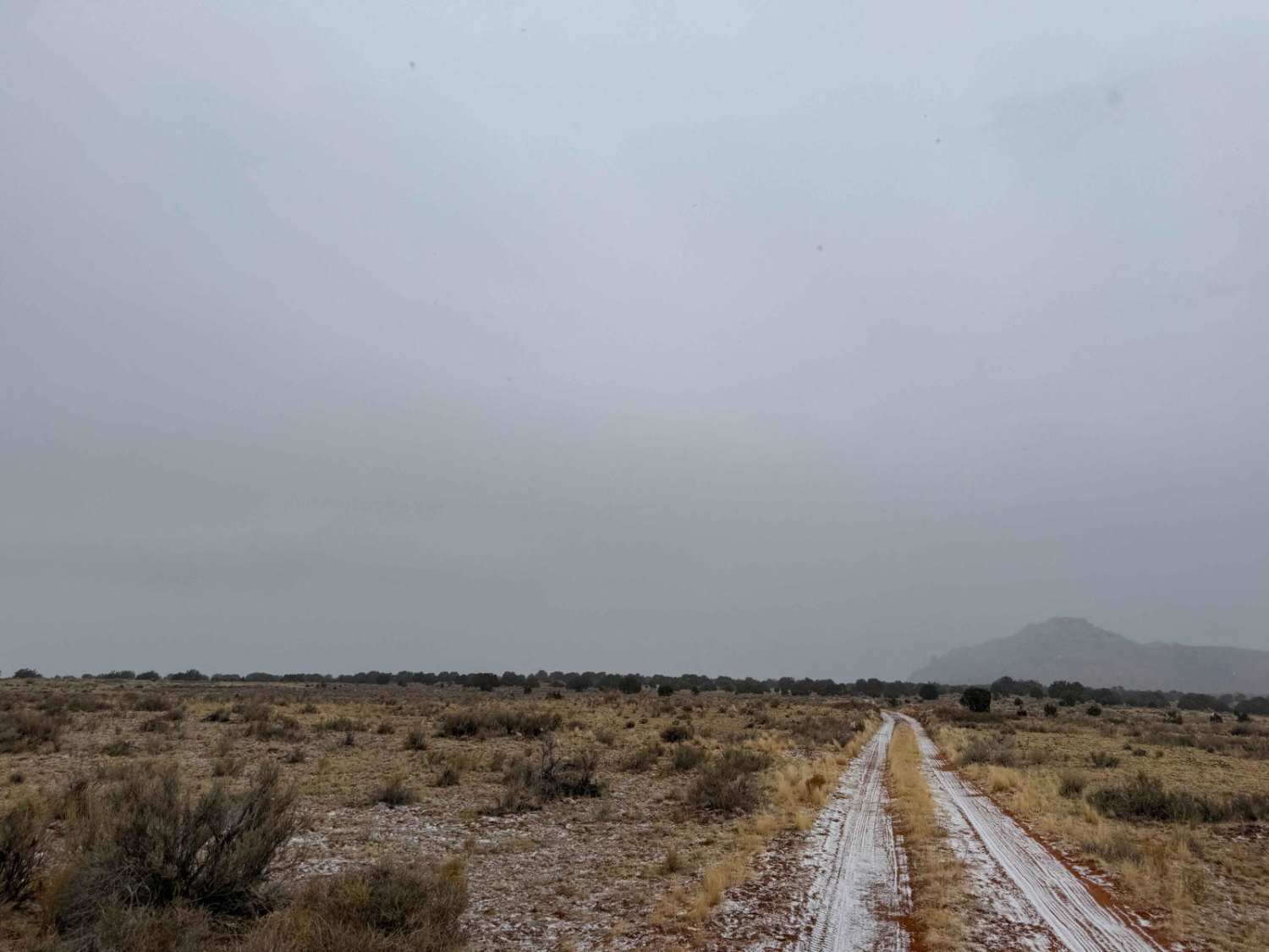
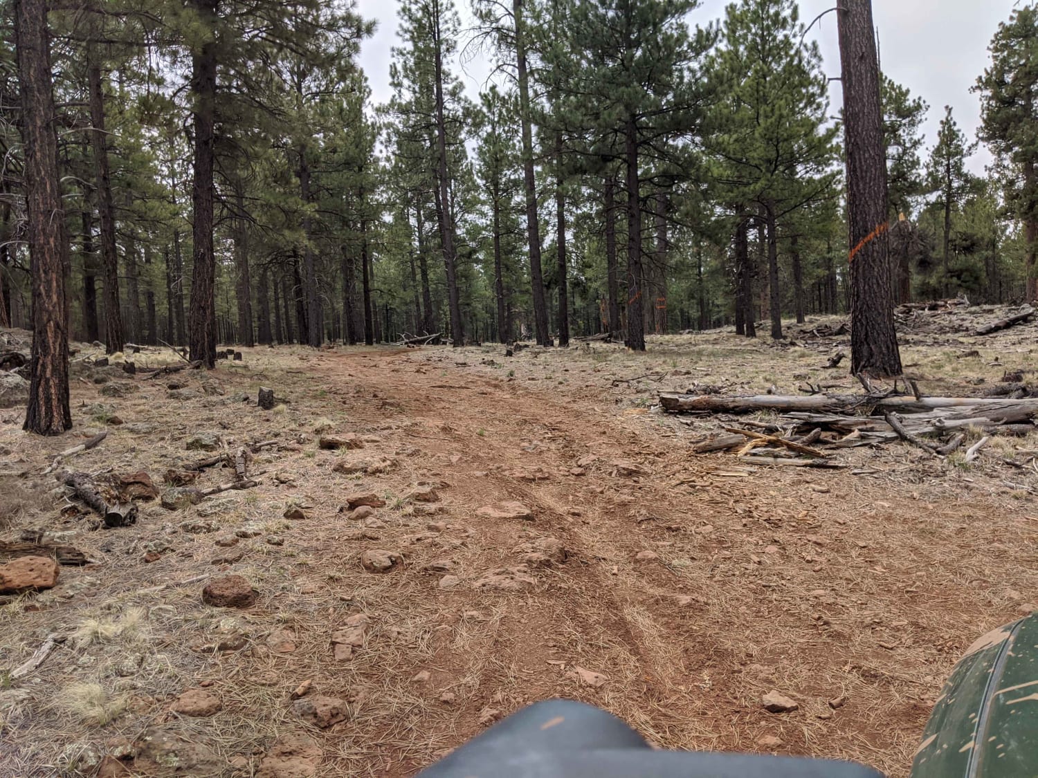
Photos of South Levee to Yuma

Difficulty
There is washboard gravel in some areas with narrow passing at times with lots of farm equipment. There are only a few potholes.
Status Reports
South Levee to Yuma can be accessed by the following ride types:
- High-Clearance 4x4
- SUV
- SxS (60")
- ATV (50")
- Dirt Bike
South Levee to Yuma Map
Popular Trails

FS 9201J Climb
The onX Offroad Difference
onX Offroad combines trail photos, descriptions, difficulty ratings, width restrictions, seasonality, and more in a user-friendly interface. Available on all devices, with offline access and full compatibility with CarPlay and Android Auto. Discover what you’re missing today!