Off-Road Trails in Arizona
Discover off-road trails in Arizona
Learn more about Sycamore Point
Sycamore Point
Total Miles
15.4
Tech Rating
Easy
Best Time
Fall, Summer, Spring
Learn more about Sycamore Rim Overlook
Sycamore Rim Overlook
Total Miles
9.3
Tech Rating
Easy
Best Time
Spring, Summer
Learn more about Sycamore Tank
Sycamore Tank
Total Miles
3.4
Tech Rating
Easy
Best Time
Spring, Fall, Winter
Learn more about T-Six Canyon Loop
T-Six Canyon Loop
Total Miles
5.2
Tech Rating
Moderate
Best Time
Spring, Summer, Fall
Learn more about Table Mesa Road 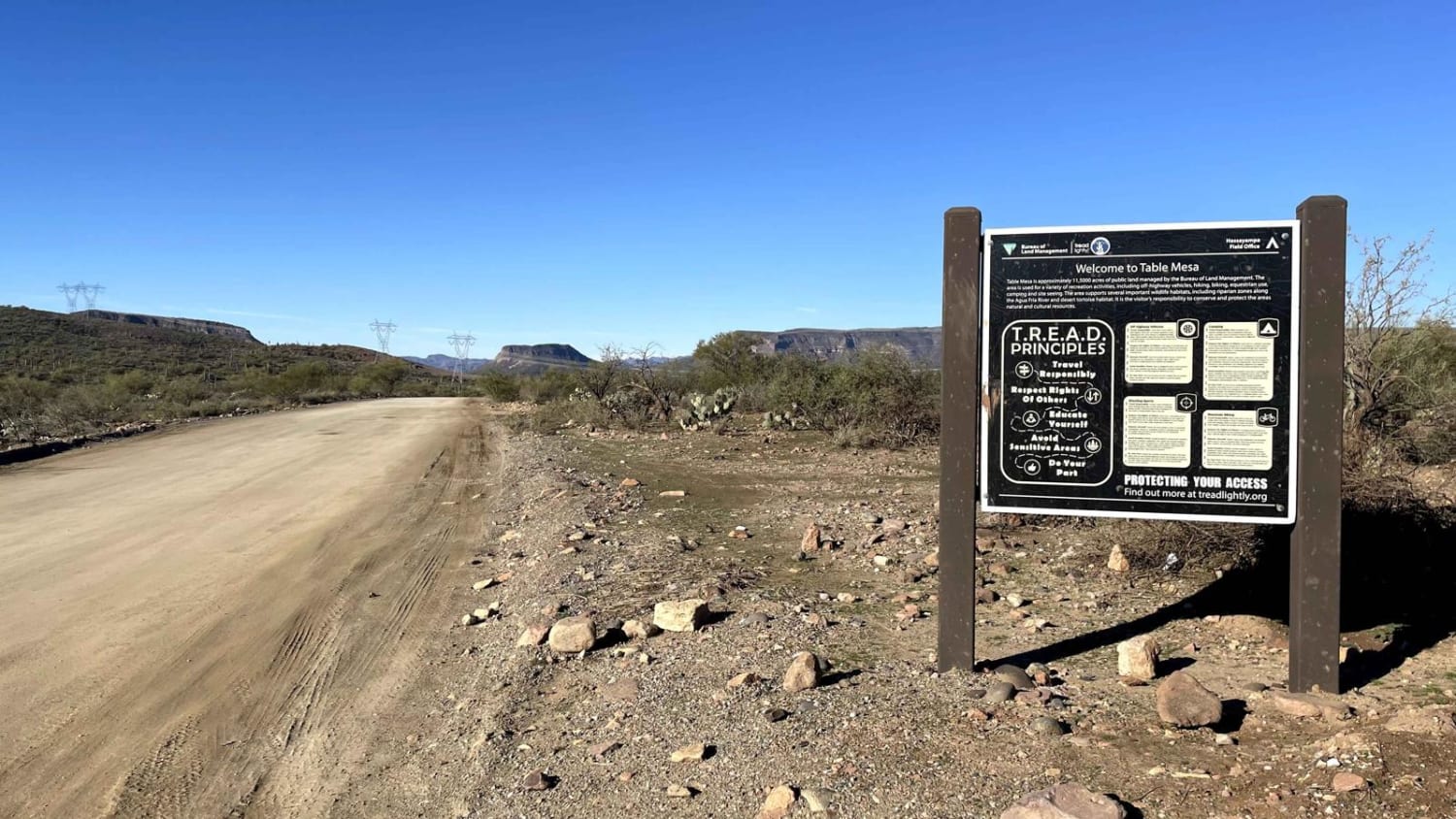
Table Mesa Road
Total Miles
4.3
Tech Rating
Easy
Best Time
Spring, Summer, Fall, Winter
Learn more about Table Rock Lookout
Table Rock Lookout
Total Miles
0.5
Tech Rating
Easy
Best Time
Spring, Fall
Learn more about Tank Four Birdhouse
Tank Four Birdhouse
Total Miles
2.2
Tech Rating
Easy
Best Time
Spring, Fall


Learn more about Tanks Scenic Bypass
Tanks Scenic Bypass
Total Miles
4.4
Tech Rating
Easy
Best Time
Spring, Summer, Fall


Learn more about Telegraph Line Trail (MT-42)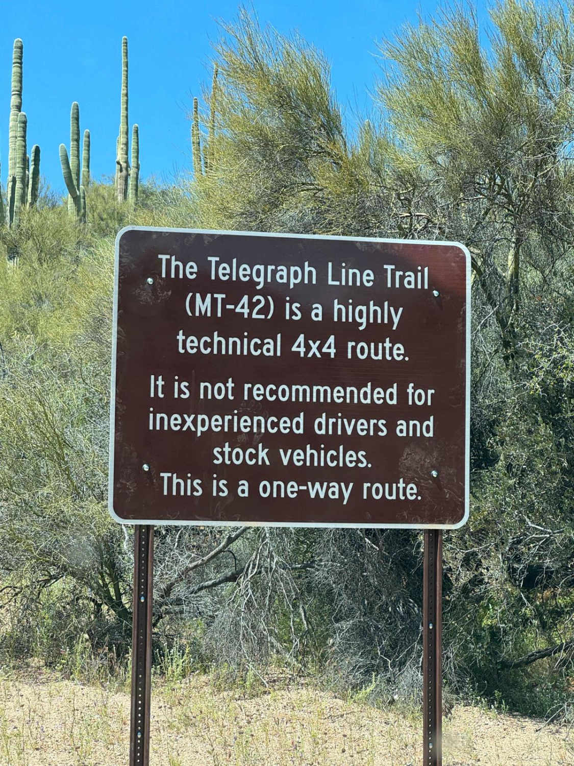
Telegraph Line Trail (MT-42)
Total Miles
11.4
Tech Rating
Difficult
Best Time
Spring, Fall, Winter
Learn more about Telegraph Pass
Telegraph Pass
Total Miles
1.7
Tech Rating
Moderate
Best Time
Spring, Fall, Winter
Learn more about Telegraph Spring Cutoff
Telegraph Spring Cutoff
Total Miles
2.3
Tech Rating
Easy
Best Time
Spring, Summer, Fall
Learn more about Telephone Cove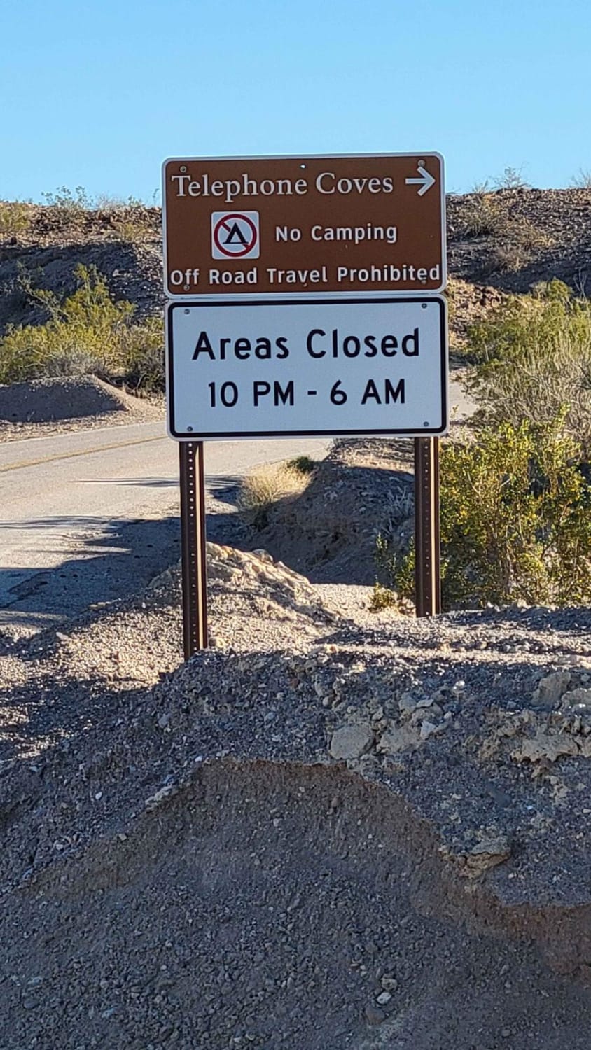
Telephone Cove
Total Miles
2.4
Tech Rating
Easy
Best Time
Spring, Summer, Fall, Winter
Learn more about Telephone Line
Telephone Line
Total Miles
7.4
Tech Rating
Easy
Best Time
Spring, Fall, Winter
ATV trails in Arizona
Learn more about Scrub Oak Bypass 
Scrub Oak Bypass
Total Miles
0.5
Tech Rating
Easy
Best Time
Spring, Summer, Fall


UTV/side-by-side trails in Arizona
Learn more about Scrub Oak Bypass
Scrub Oak Bypass
Total Miles
0.5
Tech Rating
Easy
Best Time
Spring, Summer, Fall
The onX Offroad Difference
onX Offroad combines trail photos, descriptions, difficulty ratings, width restrictions, seasonality, and more in a user-friendly interface. Available on all devices, with offline access and full compatibility with CarPlay and Android Auto. Discover what you’re missing today!