Telegraph Line Trail (MT-42)
Total Miles
11.4
Technical Rating
Best Time
Spring, Fall, Winter
Trail Type
High-Clearance 4x4 Trail
Accessible By
Trail Overview
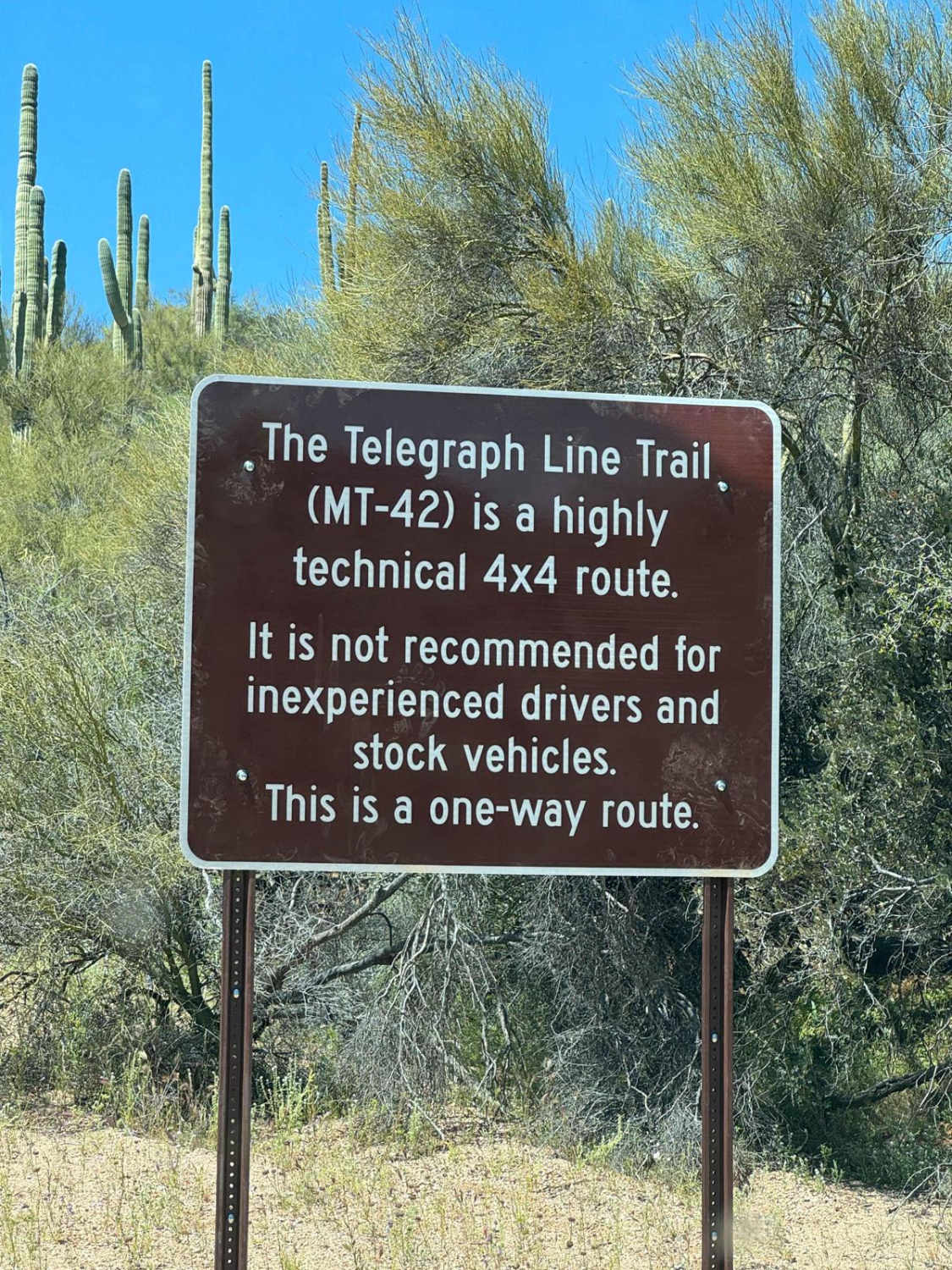
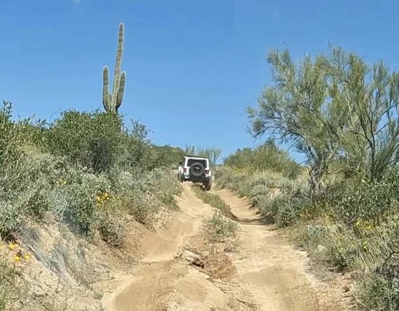
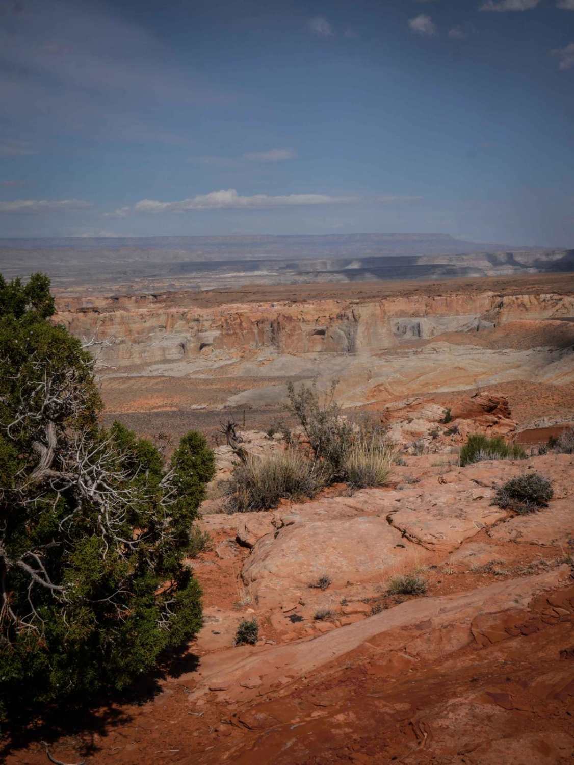
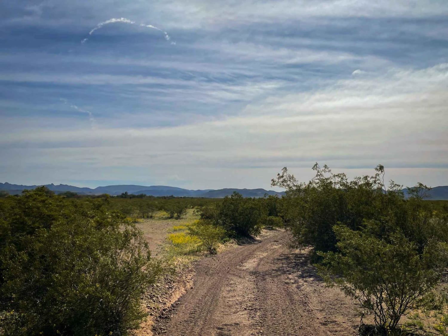
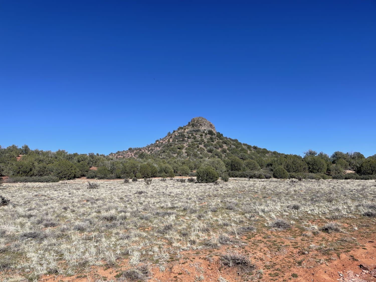
The beginning of the trail sets the tone for this roughly 12-mile run; if you have trouble with this, the rest of the trail might be miserable. This is a one-way trail starting on North Bartlett Dam Road. Once you enter, it is pretty tight and you will most definitely encounter off-camber turns, deep rutted-out mounds, and almost every hill (small or large) has obstacles you should go slow with. This trail will flex out your vehicle, have you on 2-3 wheels a bit, and make you think of tire placement. Aside from the fun on the trail, the surrounding views are breathtaking. You're surrounded by the beauty of the desert with such growth of wildflowers and cacti. You will also run into Bartlett Lake where you can have a snack and dip into the water if you desire.
Photos of Telegraph Line Trail (MT-42)
Difficulty
Expect several tight spots, full articulation spots, large rutted-out areas, and off-camber hill climbs.
History
In 2005, the Bart Fire led to the closure of the area north of Bartlett Lake Road. After several years and volunteers helping, it finally reopened April 6th, 2024.
Status Reports
Telegraph Line Trail (MT-42) can be accessed by the following ride types:
- High-Clearance 4x4
- SxS (60")
- Dirt Bike
Telegraph Line Trail (MT-42) Map
Popular Trails
Rock Butte View Trail

Ox Wash Singletrack
The onX Offroad Difference
onX Offroad combines trail photos, descriptions, difficulty ratings, width restrictions, seasonality, and more in a user-friendly interface. Available on all devices, with offline access and full compatibility with CarPlay and Android Auto. Discover what you’re missing today!
