South Powerline
Total Miles
2.0
Technical Rating
Best Time
Winter, Fall, Spring
Trail Type
Full-Width Road
Accessible By
Trail Overview
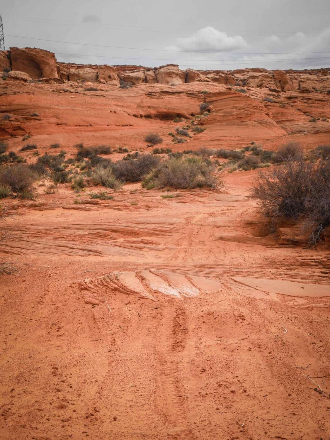
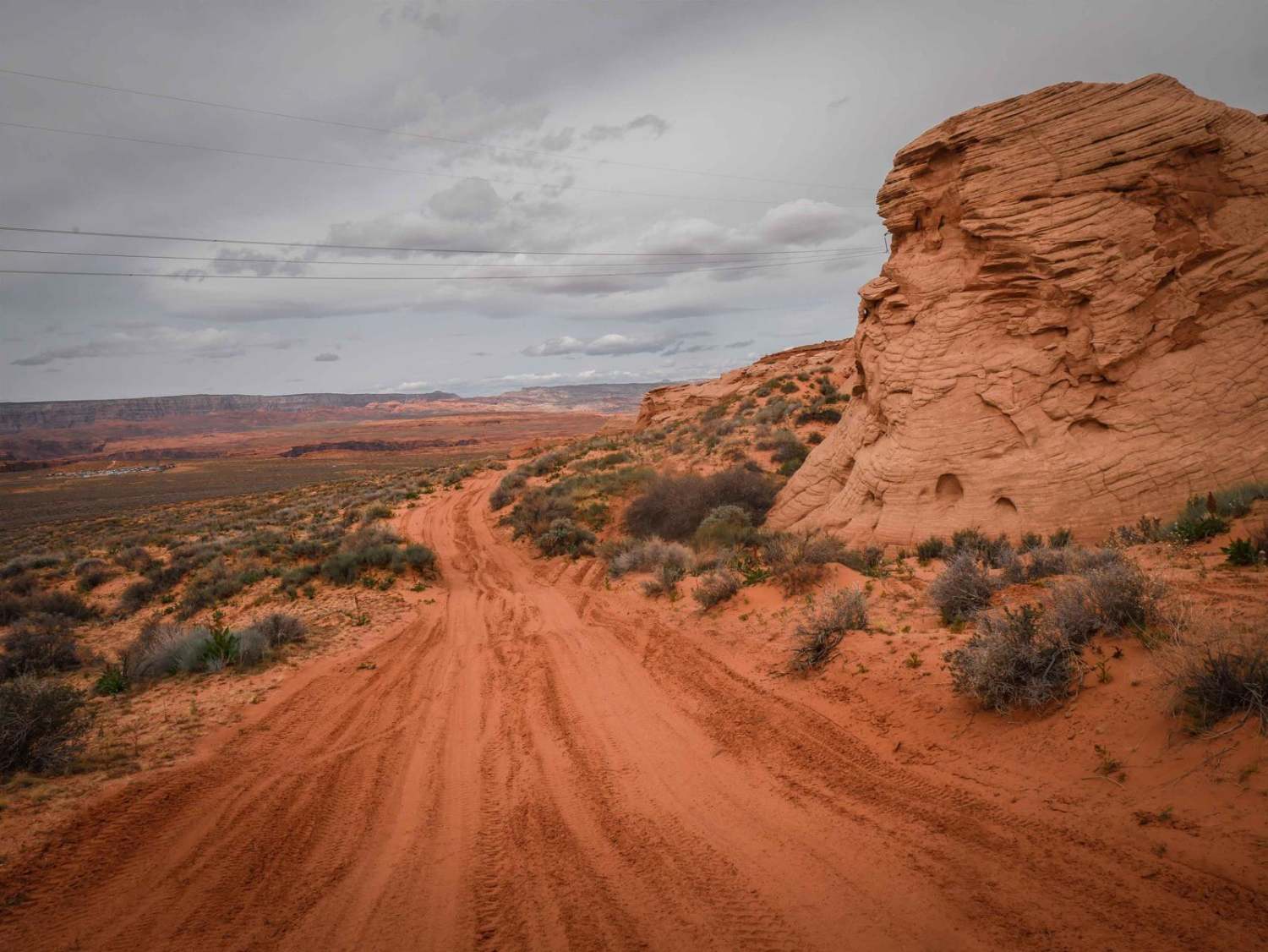
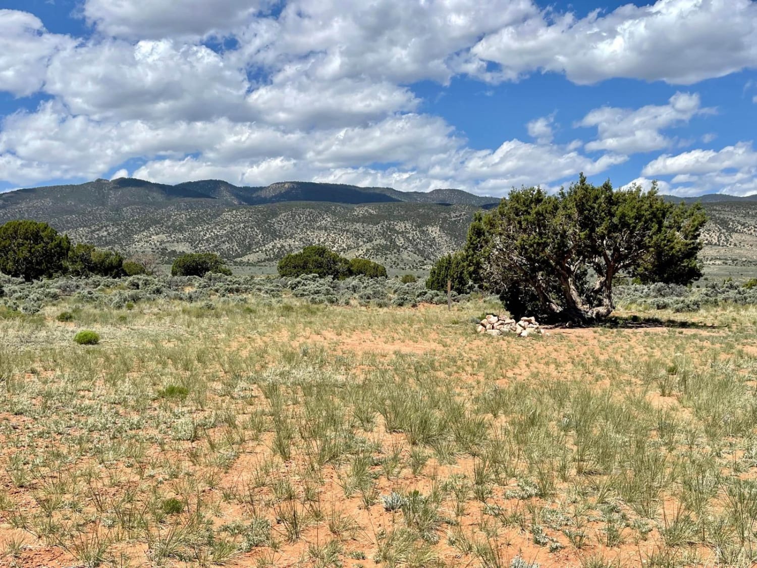
This trail starts as a powerline road on the southern border of the City of Page land bordering the Navajo Reservation, then turns north and goes along the red sandstone mesas. The powerline portion is red sand with lots of whoops. After the sharp turn north, it's still a sandy track with lots of whoops, but also some flat slab rock embedded on the surface. The trail is really scenic right up against the mesas. It's overall easy with no obstacles, but the deeper sections of sand can be more difficult. It keeps going around the perimeter of the mesa until it meets up with another power line road.
Photos of South Powerline
Difficulty
This is a 2 difficulty for deeper sections of sand.
Status Reports
South Powerline can be accessed by the following ride types:
- High-Clearance 4x4
- SUV
- SxS (60")
- ATV (50")
- Dirt Bike
South Powerline Map
Popular Trails
East Game Road

High Grass Crossing
The onX Offroad Difference
onX Offroad combines trail photos, descriptions, difficulty ratings, width restrictions, seasonality, and more in a user-friendly interface. Available on all devices, with offline access and full compatibility with CarPlay and Android Auto. Discover what you’re missing today!
