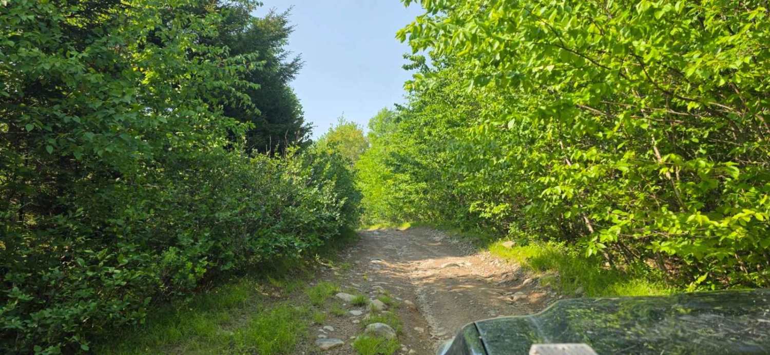
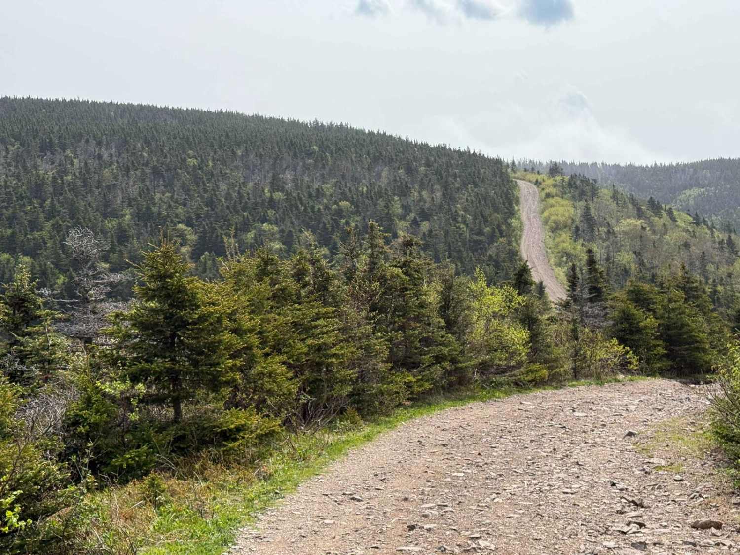
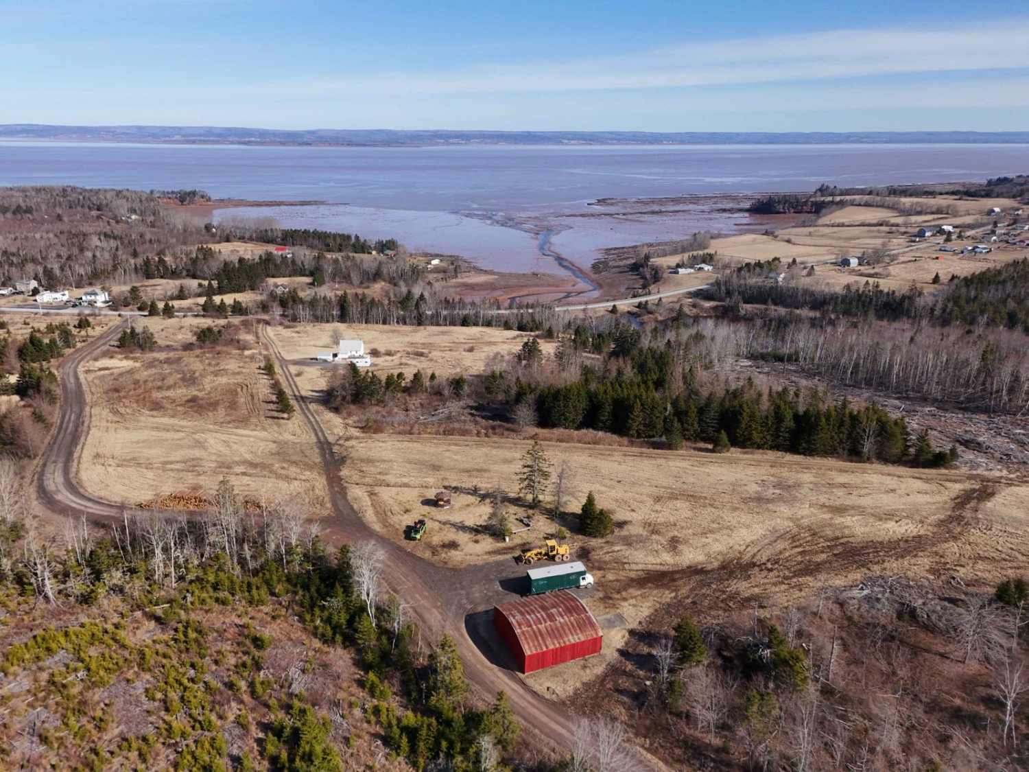
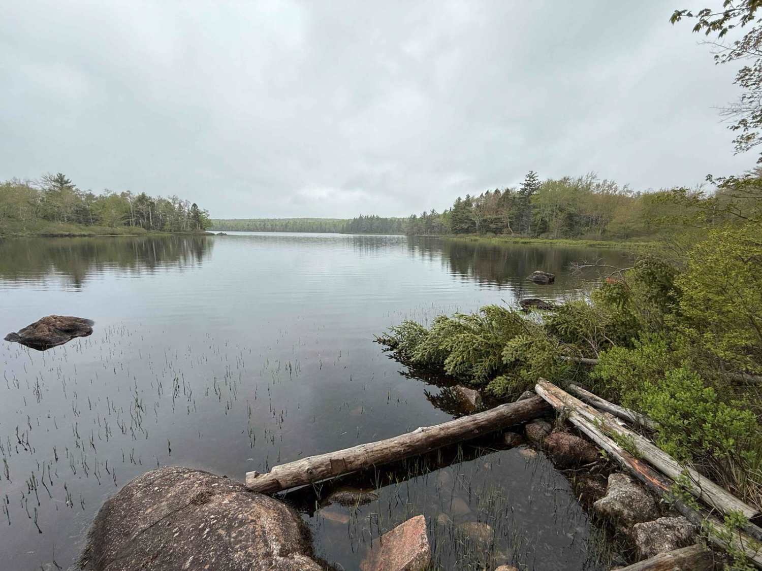
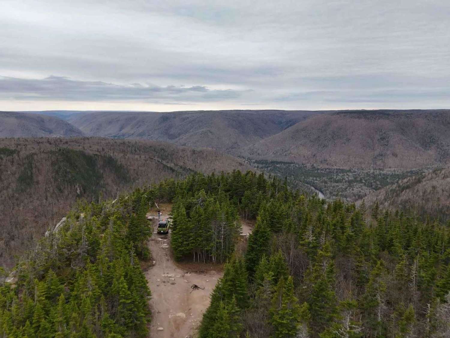
Off-Road Trails in Nova Scotia
Discover off-road trails in Nova Scotia
Learn more about Airport Hill Trail
Airport Hill Trail
Total Miles
2.0
Tech Rating
Easy
Best Time
Spring, Summer, Fall

Learn more about Beeswanger Trail
Beeswanger Trail
Total Miles
9.0
Tech Rating
Moderate
Best Time
Winter, Summer
Learn more about Bengal Road
Bengal Road
Total Miles
9.1
Tech Rating
Moderate
Best Time
Fall, Summer, Spring
Learn more about Black River to Menthols Dam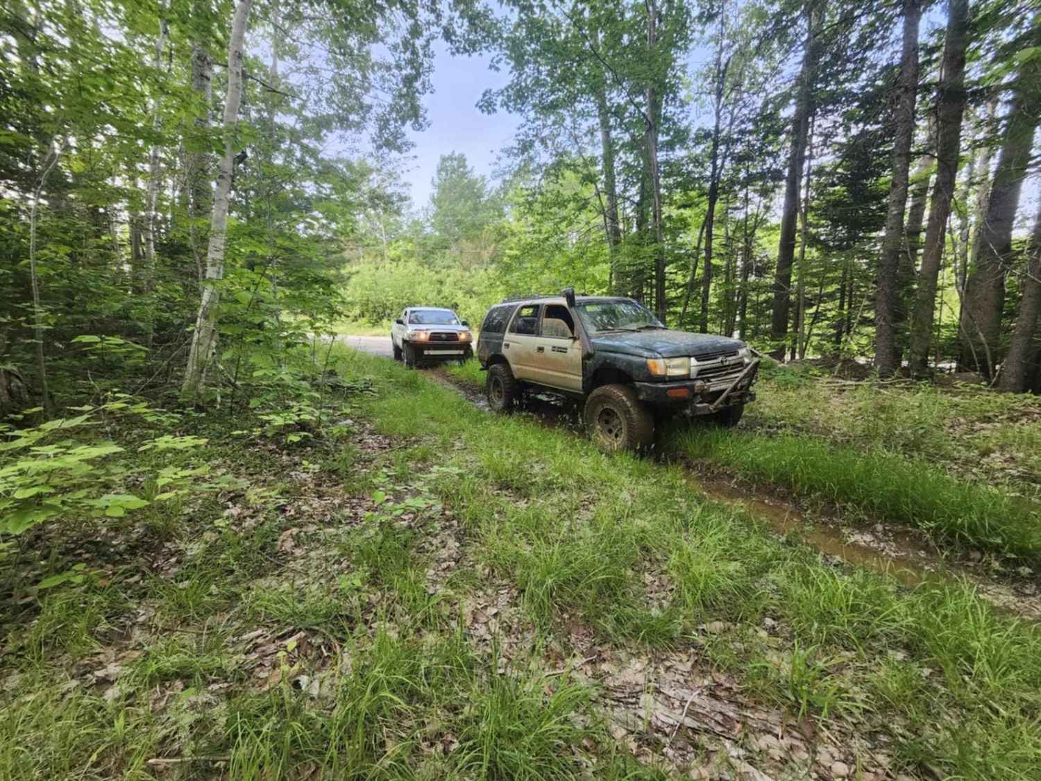
Black River to Menthols Dam
Total Miles
1.3
Tech Rating
Moderate
Best Time
Summer
Learn more about Browns Mountain Road
Browns Mountain Road
Total Miles
7.3
Tech Rating
Easy
Best Time
Spring, Fall, Summer

Learn more about Buzz Lake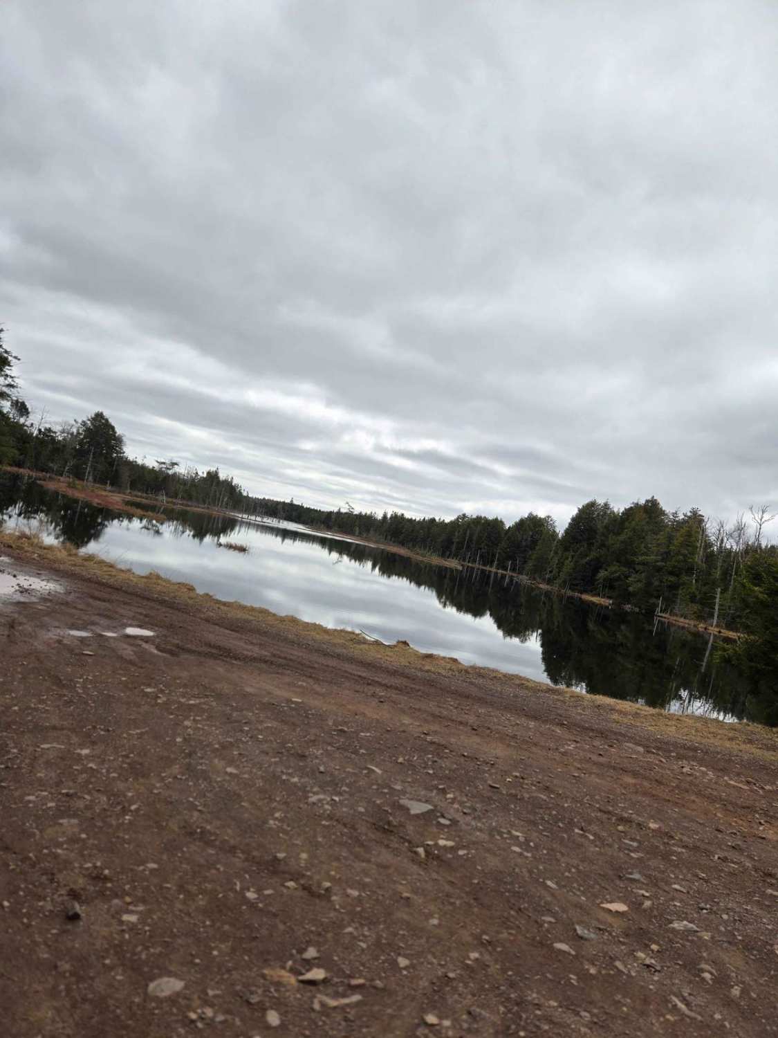
Buzz Lake
Total Miles
10.7
Tech Rating
Easy
Best Time
Summer, Fall, Winter, Spring
Learn more about Cape Mabou Road 
Cape Mabou Road
Total Miles
3.4
Tech Rating
Easy
Best Time
Summer, Spring, Fall
Learn more about Cheticamp Flats Road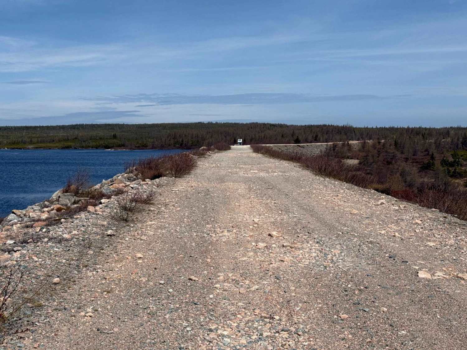
Cheticamp Flats Road
Total Miles
9.4
Tech Rating
Easy
Best Time
Spring, Summer, Fall
Learn more about Connor Lakes Trail
Connor Lakes Trail
Total Miles
2.5
Tech Rating
Easy
Best Time
Spring, Summer, Fall
Learn more about Connors Mountain Road
Connors Mountain Road
Total Miles
6.0
Tech Rating
Easy
Best Time
Summer, Spring, Fall
Learn more about Cottage 2 Lane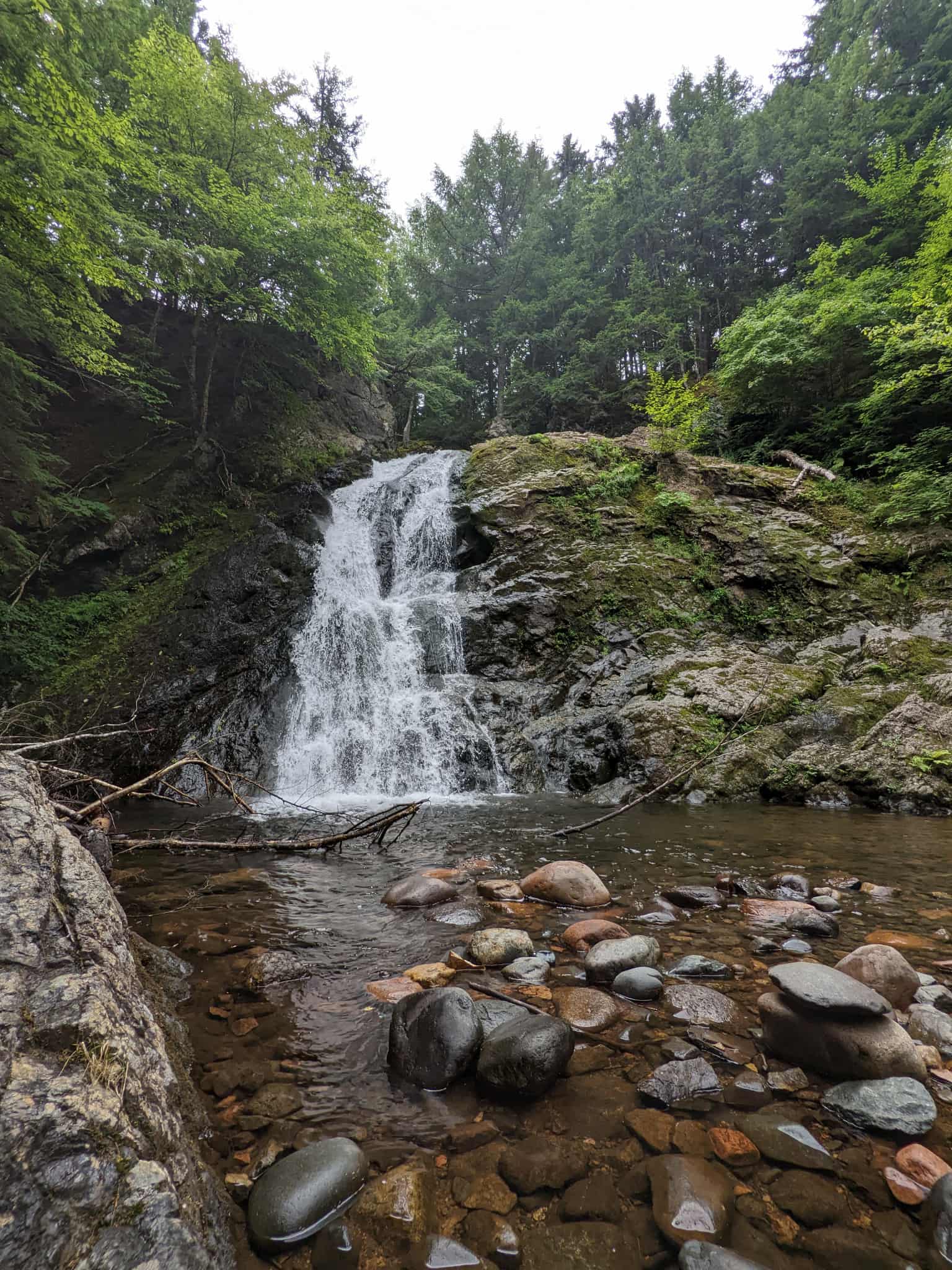
Cottage 2 Lane
Total Miles
4.8
Tech Rating
Easy
Best Time
Spring, Summer, Fall
Learn more about Dunmaglass-McArras Brook Road
Dunmaglass-McArras Brook Road
Total Miles
3.1
Tech Rating
Easy
Best Time
Spring, Summer, Fall
Learn more about East River Road
East River Road
Total Miles
24.0
Tech Rating
Easy
Best Time
Spring, Summer, Fall
ATV trails in Nova Scotia
Learn more about Airport Hill Trail
Airport Hill Trail
Total Miles
2.0
Tech Rating
Easy
Best Time
Spring, Summer, Fall
UTV/side-by-side trails in Nova Scotia
Learn more about Ingramport Connector
Ingramport Connector
Total Miles
4.5
Tech Rating
Easy
Best Time
Spring, Summer, Fall
Learn more about Ingramport Road
Ingramport Road
Total Miles
14.1
Tech Rating
Easy
Best Time
Spring, Summer, Fall
Learn more about Johnson Lake Castle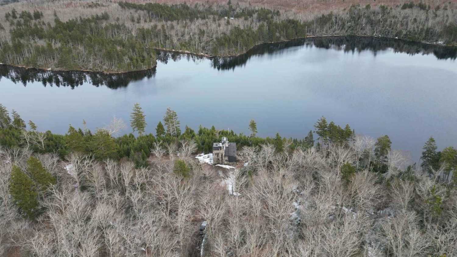
Johnson Lake Castle
Total Miles
3.2
Tech Rating
Easy
Best Time
Summer, Fall, Spring
Learn more about Kavanough Road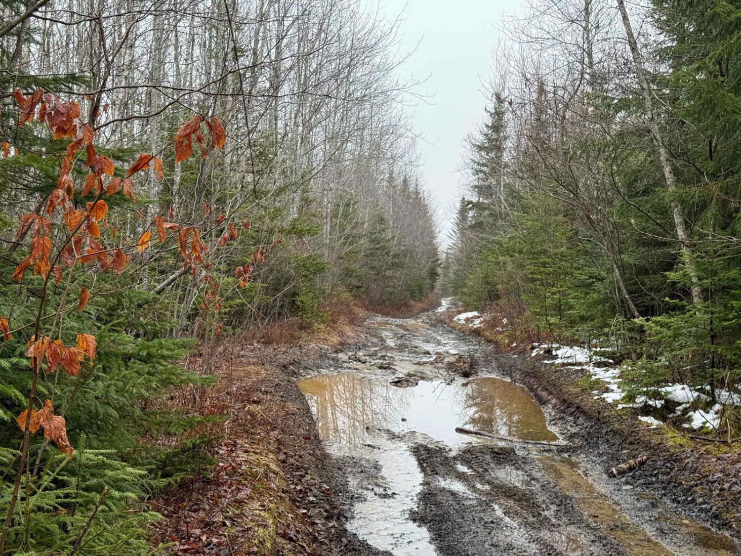
Kavanough Road
Total Miles
3.2
Tech Rating
Easy
Best Time
Spring, Fall, Summer
The onX Offroad Difference
onX Offroad combines trail photos, descriptions, difficulty ratings, width restrictions, seasonality, and more in a user-friendly interface. Available on all devices, with offline access and full compatibility with CarPlay and Android Auto. Discover what you’re missing today!