6014 Road
Total Kilometers
7.6
Technical Rating
Best Time
Summer, Fall, Spring
Trail Type
Full-Width Road
Accessible By
Trail Overview
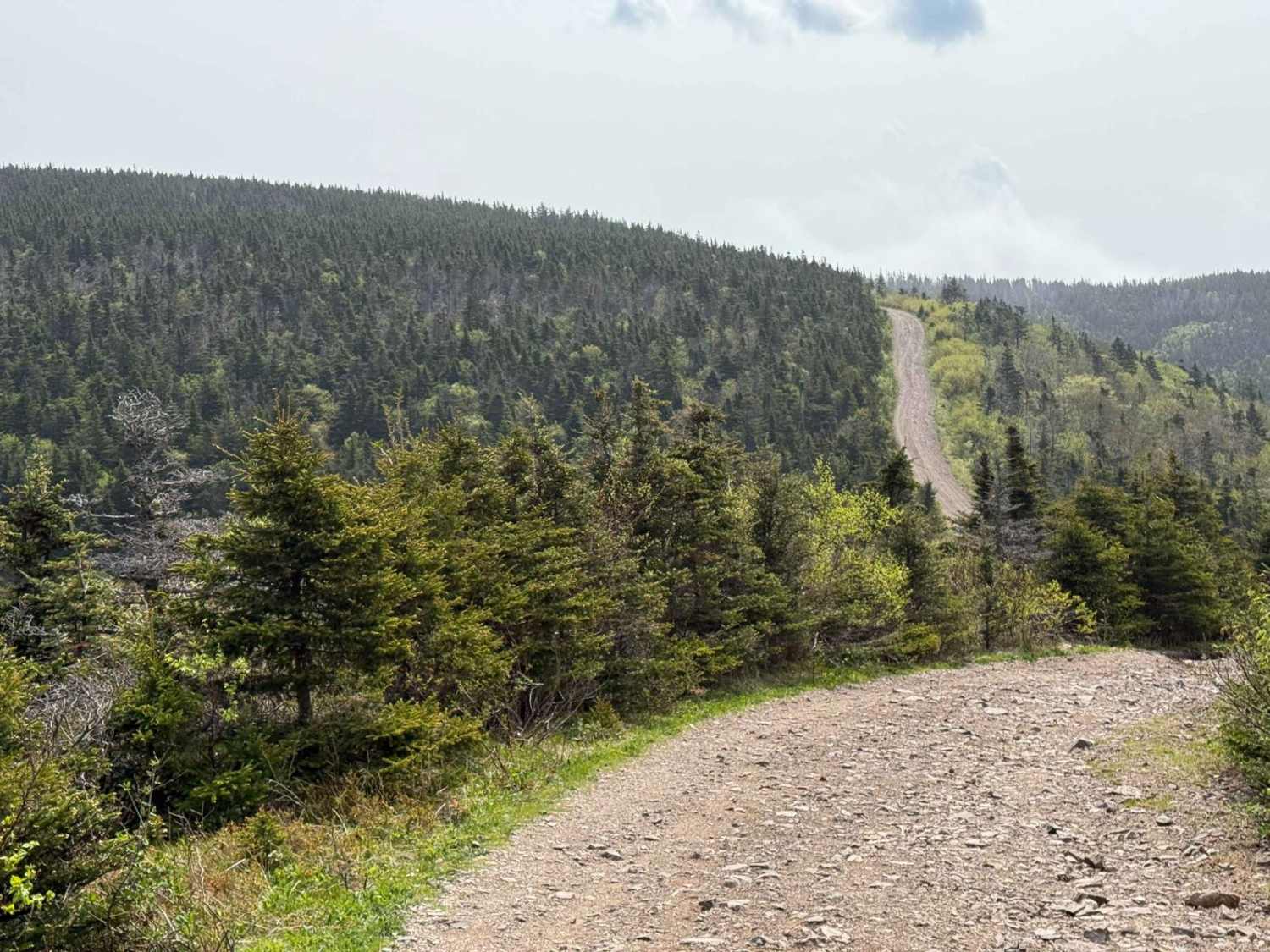
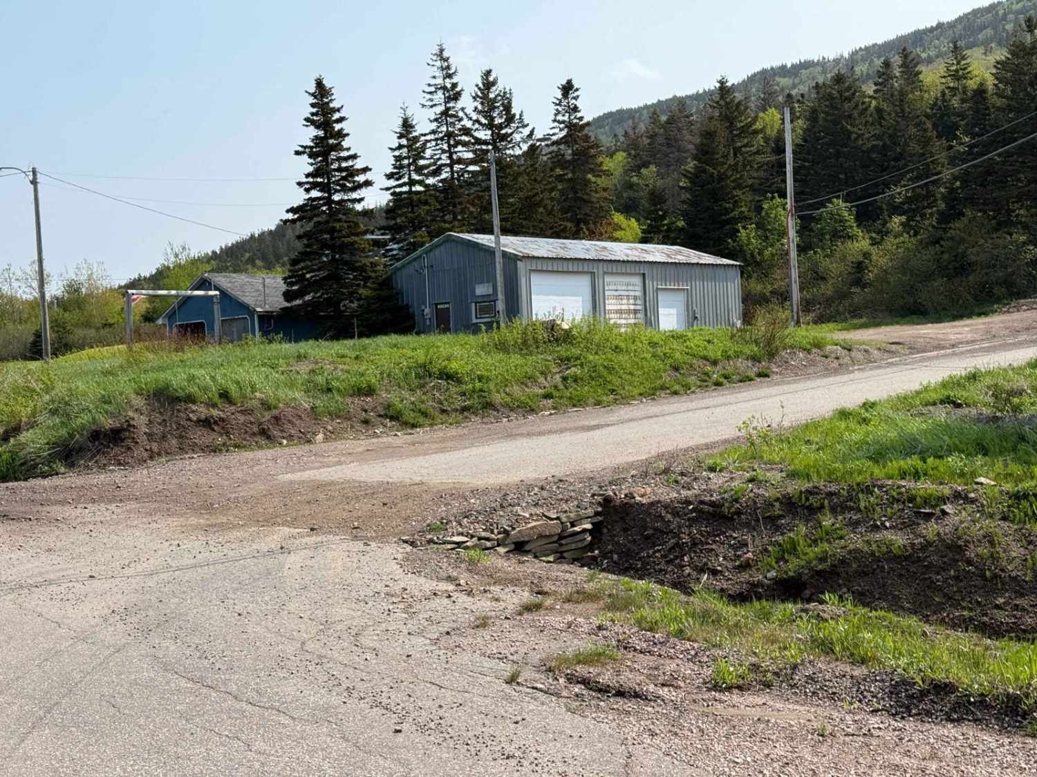
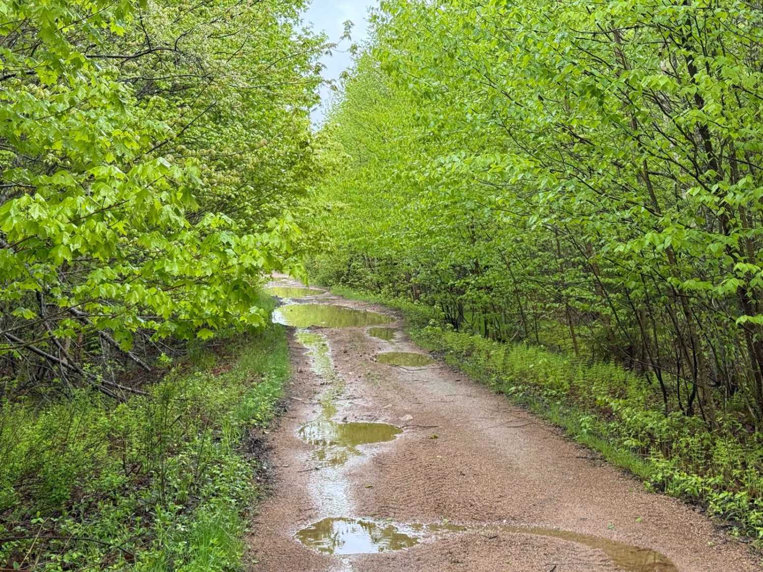
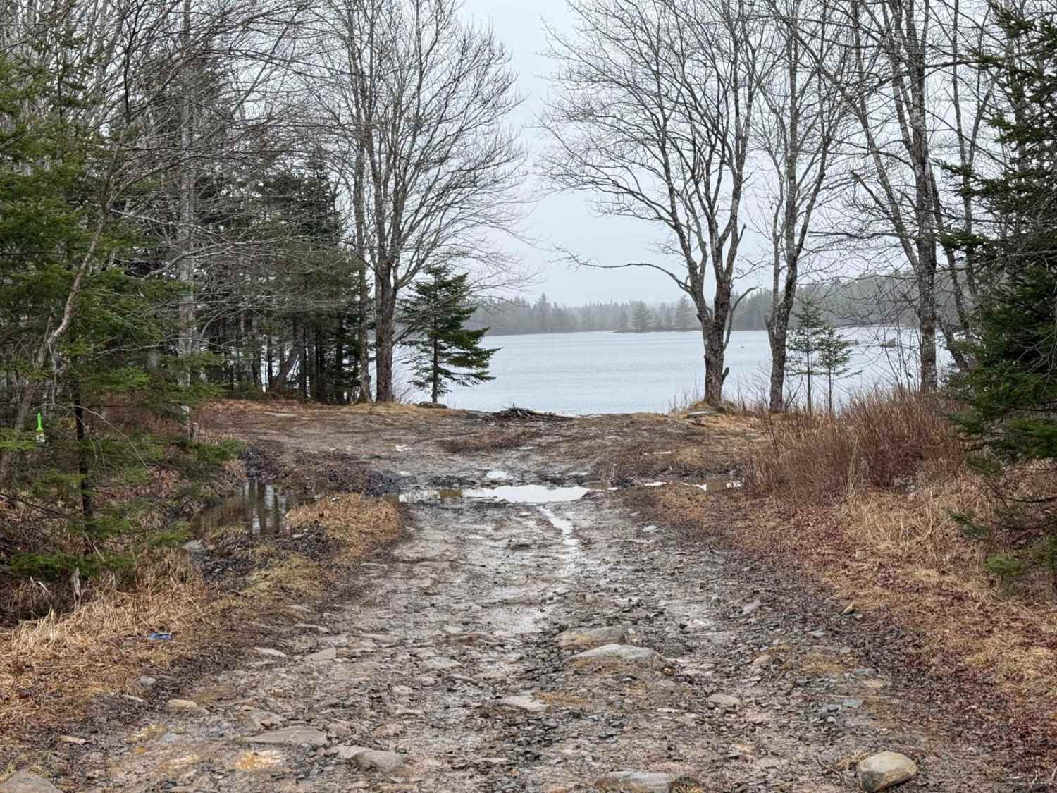
6014 Road begins as a fairly wide, hard-packed dirt road and quickly transitions into a challenging yet rewarding route. The first 2.5 kilometres feature a winding hill climb with some washouts and steep banks, offering no guard rails for protection. About 2.0 kilometres into the climb, there is a picturesque camping spot overlooking Bay St. Lawrence. This is an excellent place to pause and soak in the views. As the trail continues, the road narrows to a single-vehicle width with relatively smooth stretches interspersed with washouts and large potholes. This section requires careful navigation but is less technical than the initial climb. Past the 7.2-kilometre mark and beyond the towers, the trail becomes very narrow and heavily washed out. These conditions persist until the road meets Money Point Road, making this portion particularly challenging for vehicles without proper off-road capabilities.
Photos of 6014 Road
Difficulty
The trail is moderately challenging due to washouts and large potholes along the route. While the road narrows significantly in places and the surface conditions vary, it remains passable for vehicles with decent ground clearance. Drivers should exercise caution, especially in sections with steep banks and no guardrails, but overall, the trail is manageable for most high-clearance vehicles.
History
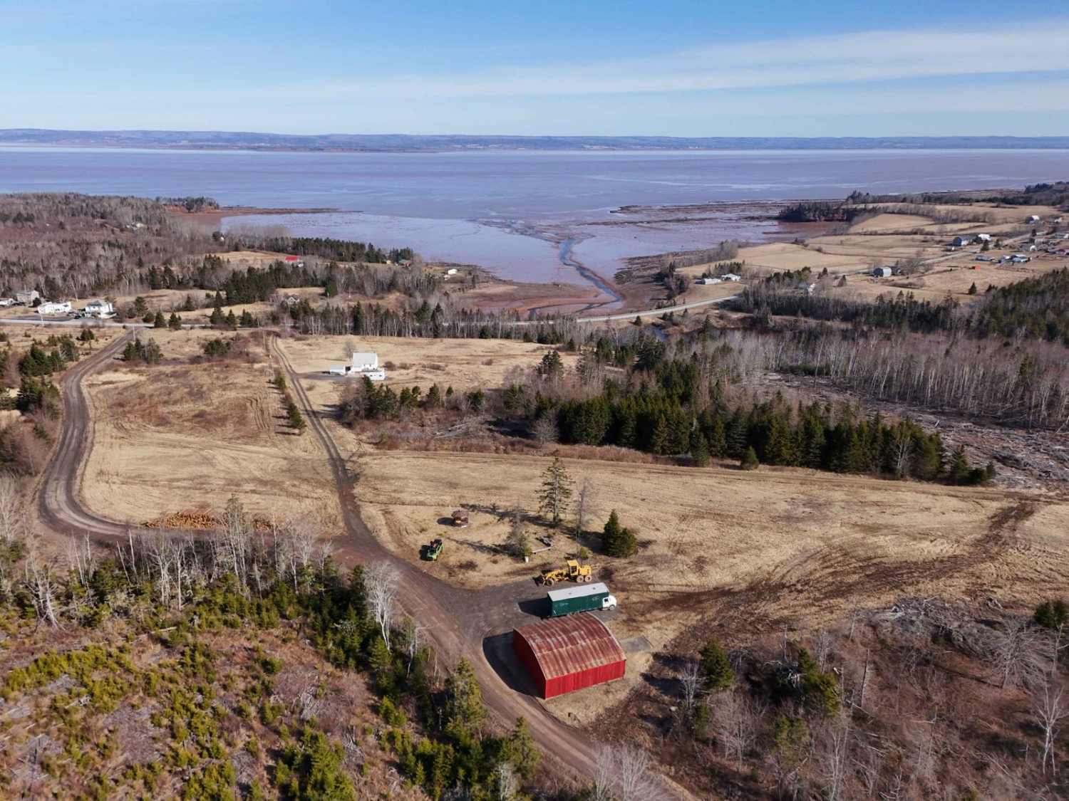
The history of 6014 Road is closely tied to its practical use as an access route for local industries and infrastructure. Originally constructed as part of a network of forestry and utility roads, it provided access to remote areas for resource extraction and maintenance of nearby transmission towers. Over time, the road also became a gateway for outdoor enthusiasts, connecting them to the scenic Kauzmann Trail and historic Money Point Road. The road's evolution from a functional resource path to a recreational route highlights Cape Breton's rich natural and cultural heritage, blending practical history with opportunities for exploration and adventure.
Status Reports
6014 Road can be accessed by the following ride types:
- High-Clearance 4x4
- SUV
- SxS (60")
- ATV (50")
- Dirt Bike
6014 Road Map
Popular Trails
Granite Lane Trail

King Lake Trail
Rockey Lake Trail
The onX Offroad Difference
onX Offroad combines trail photos, descriptions, difficulty ratings, width restrictions, seasonality, and more in a user-friendly interface. Available on all devices, with offline access and full compatibility with CarPlay and Android Auto. Discover what you’re missing today!