
Off-Road Trails in Nova Scotia
Discover off-road trails in Nova Scotia
Off-Road Trails in Nova Scotia
Discover the best off-road trails in Nova Scotia. Browse trail maps, check difficulty ratings, and find your next adventure — whether you're looking for a quick ride or an all-day expedition.
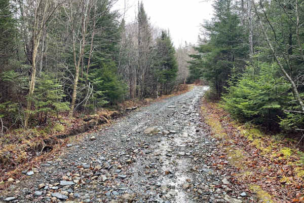
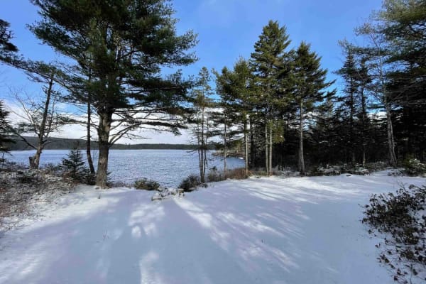
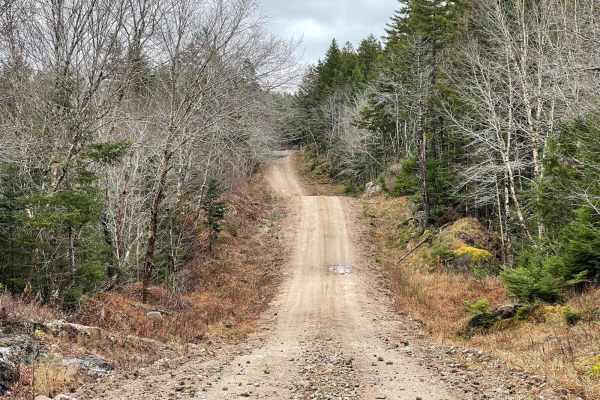
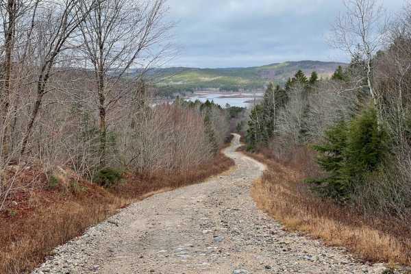
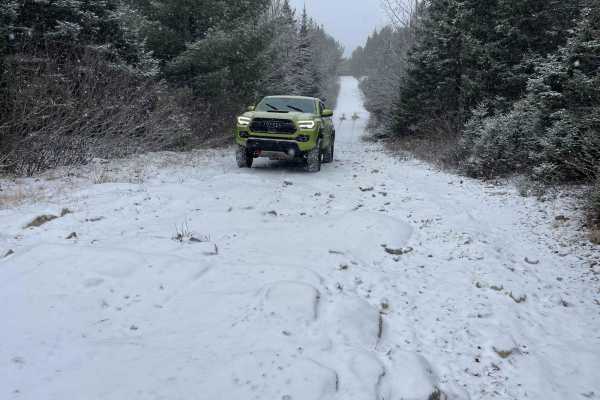
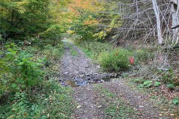
Pockwock Falls Trail
Pockwock Falls Trail, also known as Bowater Mersey to Pockwock Road, is officially named Old Kemptown Road. This primitive road in Halifax Regional Municipality is accessed from Pockwock Road in Hammonds Plains and leads to the former Bowater Mersey lands and its trail system. The trail is very wash...
Learn more about Pockwock Falls Trail
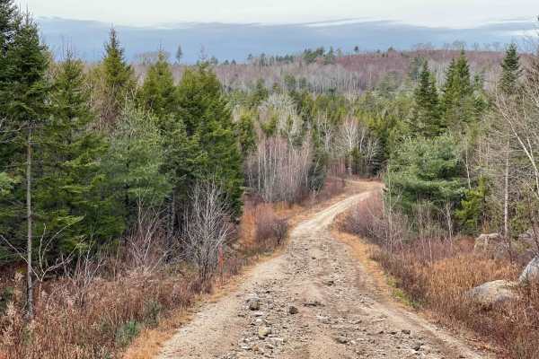
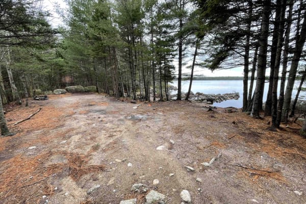
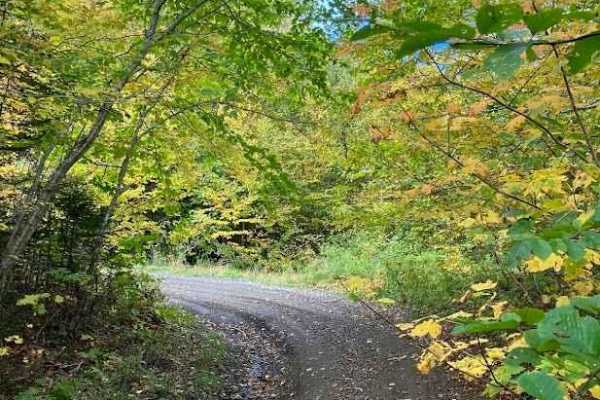
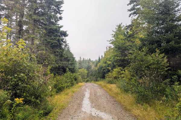
East River Road
East River Road begins at the end of Mersey Road Connector, accessible from Highway 3. The first 18 km is well-maintained, with hard-packed dirt and gravel, offering numerous spots for camping and access to many lakes and trails. Be cautious of active logging in the area. After Brigley Lake, as East...
Learn more about East River Road
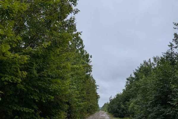
Shady Lake Trail
Shady Lake Trail is a single-vehicle-wide path with hard-packed dirt and loose rock. While there are a few washouts along the trail, it remains passable with caution. A gate warns of an unsafe bridge, but it appears to have been repaired. South of this bridge, the trail narrows and has more washouts...
Learn more about Shady Lake Trail
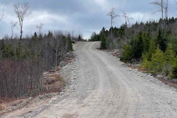
Ryder Lake Easy Line
Whether you have had enough tight turns after your visit to Rider Lake, or you want to get there a little easier from the Gas line, this groomed logging road will take you close to the lake. The road is graded and easy to traverse but still ends up near Rider Lake.
Learn more about Ryder Lake Easy Line
Hiking Trail Road
Hiking Trail Road is a well-maintained, hard-packed dirt road and an active forestry road. The southern 1.5 km section, stretching from the end of Bowater Mersey Road to Pipeline Road Trail, is currently disconnected due to a washed-out bridge, with replacement scheduled for late 2024 to early 2025....
Learn more about Hiking Trail Road
Ingramport Road
Ingramport Road is a maintained, hard-packed dirt road that is two vehicles wide for most of its length, though it narrows slightly at the north end. Travelers should be cautious of washouts after heavy rains. There is one bridge in slight disrepair, so use caution when crossing. This road serves as...
Learn more about Ingramport Road
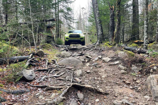
King Lake Trail
This Trail has three distinct sections: The northern 2.6 km of the King Lake Trail, which includes the scenic Dawson Falls, is situated on private property. This section is a partially maintained former logging road that is easily passable with any vehicle. However, the last stretch can get quite na...
Learn more about King Lake Trail
Penniac Gas Line
This track is an alternative route on Tower Road. Instead of exiting back to Penniac Road, you can explore this scenic trail down the gas line to the Minto area. It features a rock bottom path with many water holes, stream crossings, and muddy hard lines with easy lines alongside them. It exits onto...
Learn more about Penniac Gas Line
Pipeline Road Trail
Pipeline Road Trail is a partially maintained route running north-south, located east of Big Indian Lake within the former Bowater-Mersey lands. Ideal for beginners, this hard-packed logging road allows for an enjoyable drive without risking damage to your vehicle. The southern half features a two-l...
Learn more about Pipeline Road Trail
PEI Two Mile Run
Driving over the 8-mile-long Confederation Bridge you see beautiful Prince Edward Isle and its rich reddish-brown soil. On the Southeast side of the island near the small town of Souris, you will find PEI Two Mile Run. The trail starts off on a fairly wide dirt road which quickly narrows down by sur...
Learn more about PEI Two Mile Run

Midland Falls
Head on out to this little moat of water from an old coal mining area. This small trail comes off of Midland Road just North of the village of Minto. The trail is wide enough for almost any vehicle and has a couple of shallow water holes on it. At the end, there is a beautiful waterfall emptying int...
Learn more about Midland Falls
Ingramport Connector
The Ingramport Connector is a two-lane gravel road running parallel to Highway 103, stretching from Ingramport Road to Hiking Trail Road. This road is essential for accessing a multitude of trails in the Mersey Trail system and is currently the quickest route to the south end of Hiking Trail Road du...
Learn more about Ingramport Connector
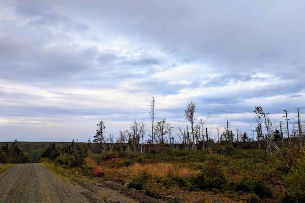
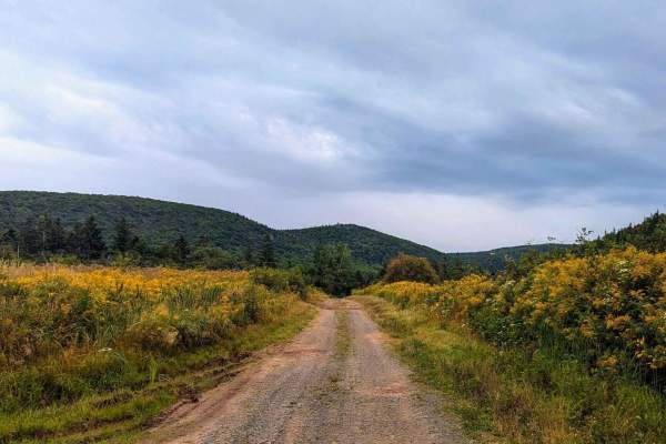
North Highland Road
Old forest road that starts in the Cape Breton highlands down to Foot Cape. From the highlands side, the first half of the road is smooth with occasional puddles and potholes up to 4in deep with beautiful scenery. As the elevation drops the road becomes narrow, and steep with obstacles of soft earth...
Learn more about North Highland Road
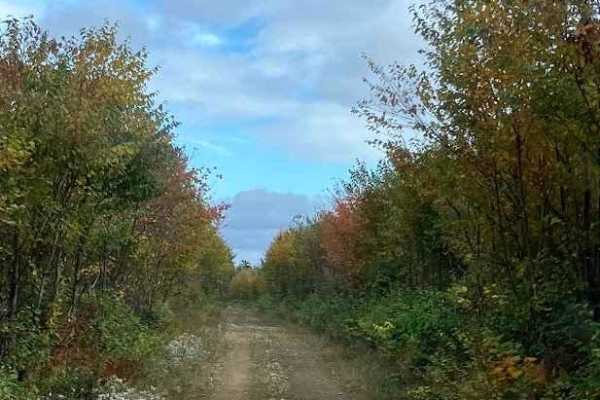
Connor Lakes Trail
Connor Lakes Trail is an unmaintained, hard-packed dirt road that was once used for logging. It stretches for 4 km from Two Mile Lake Road to Ingramport Connector, winding around Big Connor Lake and Little Connor Lake. The trail is one vehicle wide, with several places to pass. The hills are washed ...
Learn more about Connor Lakes Trail
Cape Mabou Road
Cape Mabou Road runs over the highlands and through the community pastures. The marked portion of the trail starts where the road becomes unmaintained. This road is a narrow, smooth dirt road with potholes up to 3 inches deep. You will also encounter small washouts up to 6 inches deep.
Learn more about Cape Mabou Road
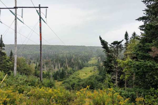
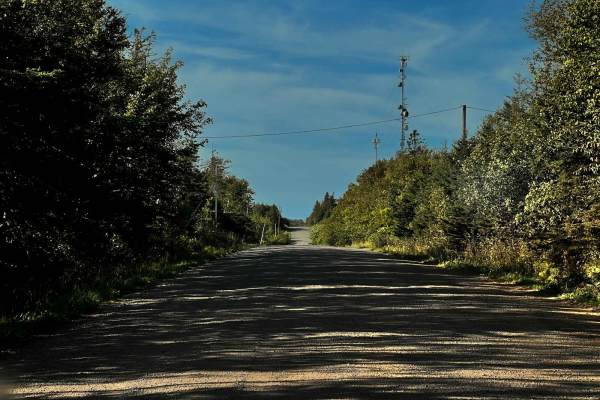
Browns Mountain Road
Browns Mountain Road is a very good condition Class K road. The climb to near the summit of Browns Mountain follows a power line for most of the road and a beautiful mountain brook for the rest. This road also provides access to a host of other trails on Browns Mountain.
Learn more about Browns Mountain Road
Connors Mountain Road
Connors Mountain Road is a Class K road that is well-maintained by a local snowmobile/ATV club. While not challenging, steep drop-offs and hairpin turns still provide a modicum of adrenaline on the way to a few nice vistas on a clear day. Otherwise, the road climbs up near the summit of Eigg Mountai...
Learn more about Connors Mountain Road
MacDonald's Glen Road
Starting from the Northeast Mabou Road end, the MacDonald's Glen Road starts out smooth, with the first washout across the road being about 12in deep, then followed by one large washout approximately 16 inches deep at the best point to cross. After the large washout, the road becomes a consistent of...
Learn more about MacDonald's Glen Road
Strathglass Road
Strathglass Road is a very good-condition Class K dirt road that connects Browns Mountain to Eigg Mountain. The road is through a lightly wooded area with some large puddles. The puddles have firm bottoms and are not of any significant depth. It is a pleasant and quiet drive leading to numerous othe...
Learn more about Strathglass Road
Dunmaglass-McArras Brook Road
This is a very good condition Class K road. The road follows along McArras Brook as it descends Eigg Mountain. The road is starting to collapse into the brook at some points, so don't get complacent as you follow this otherwise unchallenging dirt road. There are a handful of steep drop-offs along th...
Learn more about Dunmaglass-McArras Brook Road
ATV trails in Nova Scotia
Explore ATV-friendly trails in Nova Scotia. These trails are accessible for vehicles up to 50 inches wide, perfect for ATVs and smaller off-road machines.
Pockwock Falls Trail
Pockwock Falls Trail, also known as Bowater Mersey to Pockwock Road, is officially named Old Kemptown Road. This primitive road in Halifax Regional Municipality is accessed from Pockwock Road in Hammonds Plains and leads to the former Bowater Mersey lands and its trail system. The trail is very wash...
Learn more about Pockwock Falls Trail
East River Road
East River Road begins at the end of Mersey Road Connector, accessible from Highway 3. The first 18 km is well-maintained, with hard-packed dirt and gravel, offering numerous spots for camping and access to many lakes and trails. Be cautious of active logging in the area. After Brigley Lake, as East...
Learn more about East River Road
Shady Lake Trail
Shady Lake Trail is a single-vehicle-wide path with hard-packed dirt and loose rock. While there are a few washouts along the trail, it remains passable with caution. A gate warns of an unsafe bridge, but it appears to have been repaired. South of this bridge, the trail narrows and has more washouts...
Learn more about Shady Lake Trail
Ryder Lake Easy Line
Whether you have had enough tight turns after your visit to Rider Lake, or you want to get there a little easier from the Gas line, this groomed logging road will take you close to the lake. The road is graded and easy to traverse but still ends up near Rider Lake.
Learn more about Ryder Lake Easy Line
UTV/side-by-side trails in Nova Scotia
Find UTV and side-by-side trails in Nova Scotia. These trails accommodate vehicles up to 60 inches wide, ideal for UTVs, side-by-sides, and wider off-road rigs.
Pockwock Falls Trail
Pockwock Falls Trail, also known as Bowater Mersey to Pockwock Road, is officially named Old Kemptown Road. This primitive road in Halifax Regional Municipality is accessed from Pockwock Road in Hammonds Plains and leads to the former Bowater Mersey lands and its trail system. The trail is very wash...
Learn more about Pockwock Falls Trail
East River Road
East River Road begins at the end of Mersey Road Connector, accessible from Highway 3. The first 18 km is well-maintained, with hard-packed dirt and gravel, offering numerous spots for camping and access to many lakes and trails. Be cautious of active logging in the area. After Brigley Lake, as East...
Learn more about East River Road
Shady Lake Trail
Shady Lake Trail is a single-vehicle-wide path with hard-packed dirt and loose rock. While there are a few washouts along the trail, it remains passable with caution. A gate warns of an unsafe bridge, but it appears to have been repaired. South of this bridge, the trail narrows and has more washouts...
Learn more about Shady Lake Trail
Ryder Lake Easy Line
Whether you have had enough tight turns after your visit to Rider Lake, or you want to get there a little easier from the Gas line, this groomed logging road will take you close to the lake. The road is graded and easy to traverse but still ends up near Rider Lake.
Learn more about Ryder Lake Easy Line
The onX Offroad Difference
onX Offroad combines trail photos, descriptions, difficulty ratings, width restrictions, seasonality, and more in a user-friendly interface. Available on all devices, with offline access and full compatibility with CarPlay and Android Auto. Discover what you're missing today!
Open Trail Map