Cheticamp Flats Road
Total Kilometers
15.2
Technical Rating
Best Time
Spring, Summer, Fall
Trail Type
Full-Width Road
Accessible By
Trail Overview
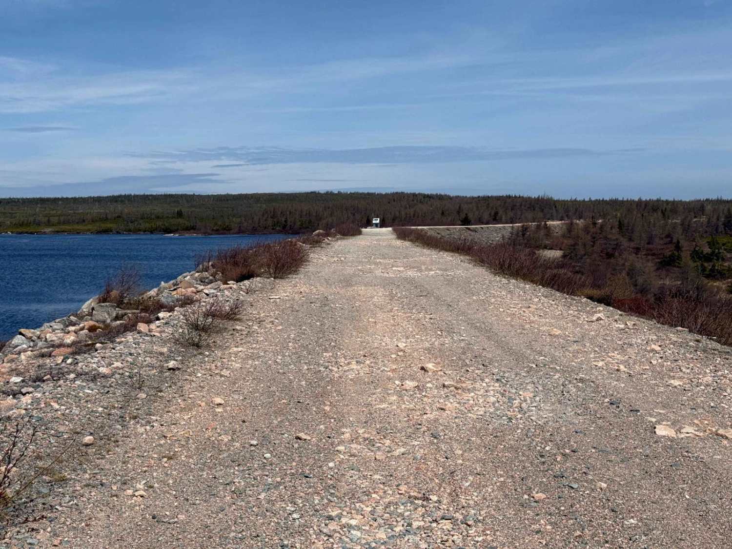
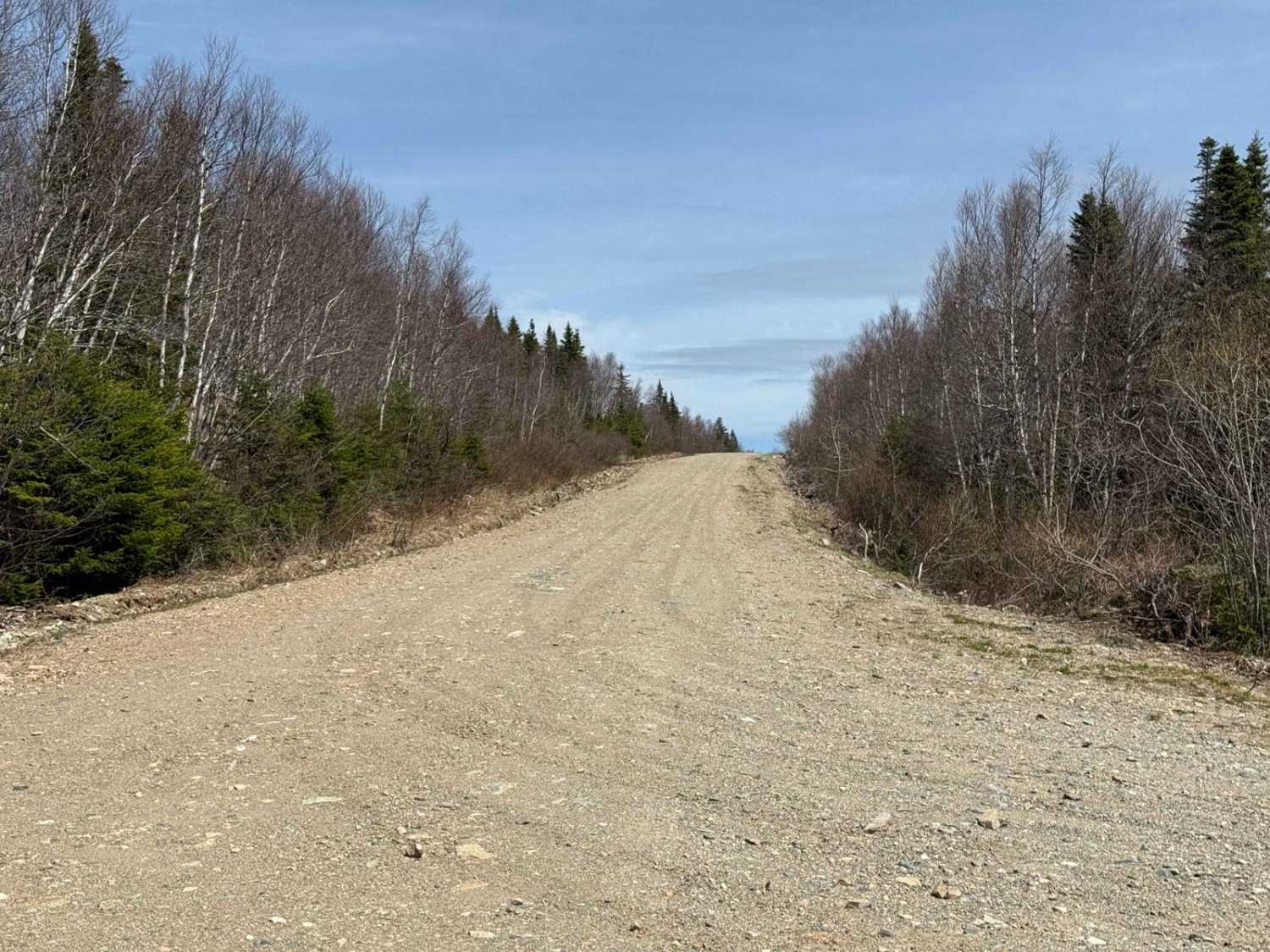
This route begins where Highland Road transitions from running east-west to north-south. It ends at the Cheticamp Flowage Dam. The first 2.4 km is a well-maintained, high-speed gravel road similar to the north-south section of Highland Road. At the 2.4 km mark, there is a Y-intersection. While the main road continues straight, you'll need to take the left fork. Be cautious here, as there is a washout. After the Y, the road narrows slightly and is marked by loose gravel, frequent potholes, and occasional washouts. Snow may linger into June, so use caution. Moose are also common in the area. Ensure you obey all signage, especially around Nova Scotia Power access roads and dams.
Photos of Cheticamp Flats Road
Difficulty
The route features loose gravel, dust, potholes, and some washouts, requiring attention to road conditions.
History
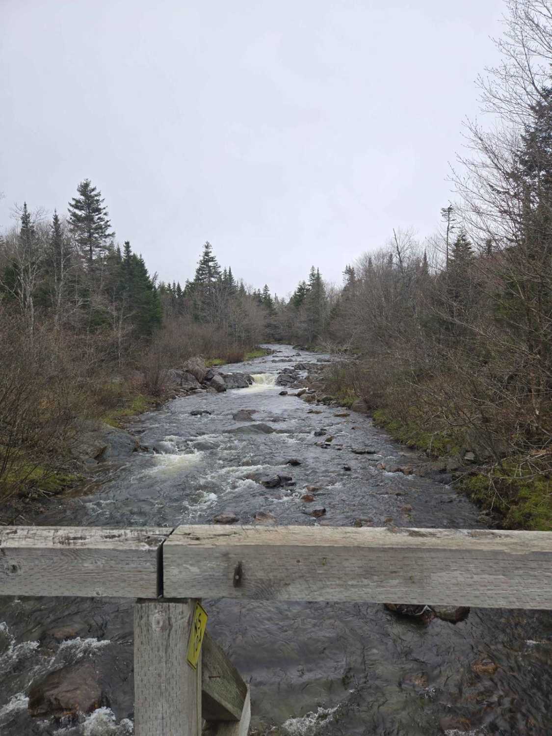
The Cheticamp Flowage is a man-made reservoir created as part of the Wreck Cove Hydroelectric System in the 1970s. The system involved the construction of several dams, including the D-1 Dam across the Cheticamp River, to harness renewable energy. Originally part of the Cape Breton Highlands National Park, the land was removed in 1958 to accommodate the hydroelectric project, which was built between 1975 and 1978 after environmental assessments confirmed its viability.The Cheticamp Flats encompass a rugged plateau near the Cheticamp River and Flowage, featuring gravel roads, campsites, and scenic views of the Cape Breton Highlands. Historically used for recreation like camping and fishing, the area remains popular with outdoor enthusiasts. Its proximity to Cape Breton Highlands National Park highlights its natural beauty, while its Acadian roots tie it to the region's rich cultural history.
Status Reports
Cheticamp Flats Road can be accessed by the following ride types:
- High-Clearance 4x4
- SUV
- SxS (60")
- ATV (50")
- Dirt Bike
Cheticamp Flats Road Map
Popular Trails

Airport Hill Trail

Connor Lakes Trail
Paterson dam trail

Hiking Trail Road
The onX Offroad Difference
onX Offroad combines trail photos, descriptions, difficulty ratings, width restrictions, seasonality, and more in a user-friendly interface. Available on all devices, with offline access and full compatibility with CarPlay and Android Auto. Discover what you’re missing today!