Paterson dam trail
Total Kilometers
11.0
Technical Rating
Best Time
Spring, Summer, Fall
Trail Type
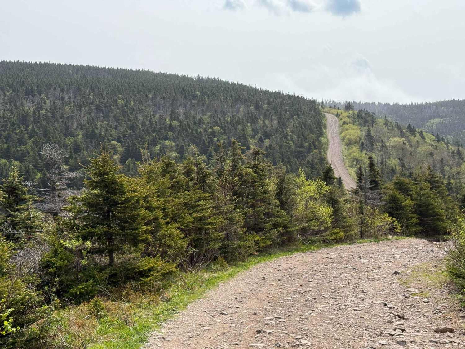
Full-Width Road
Accessible By
Trail Overview
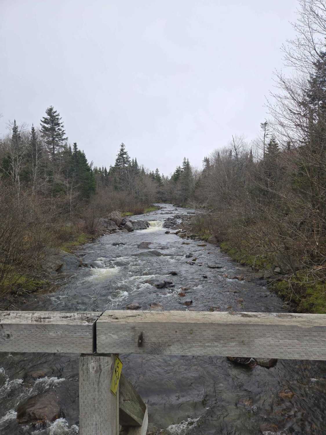
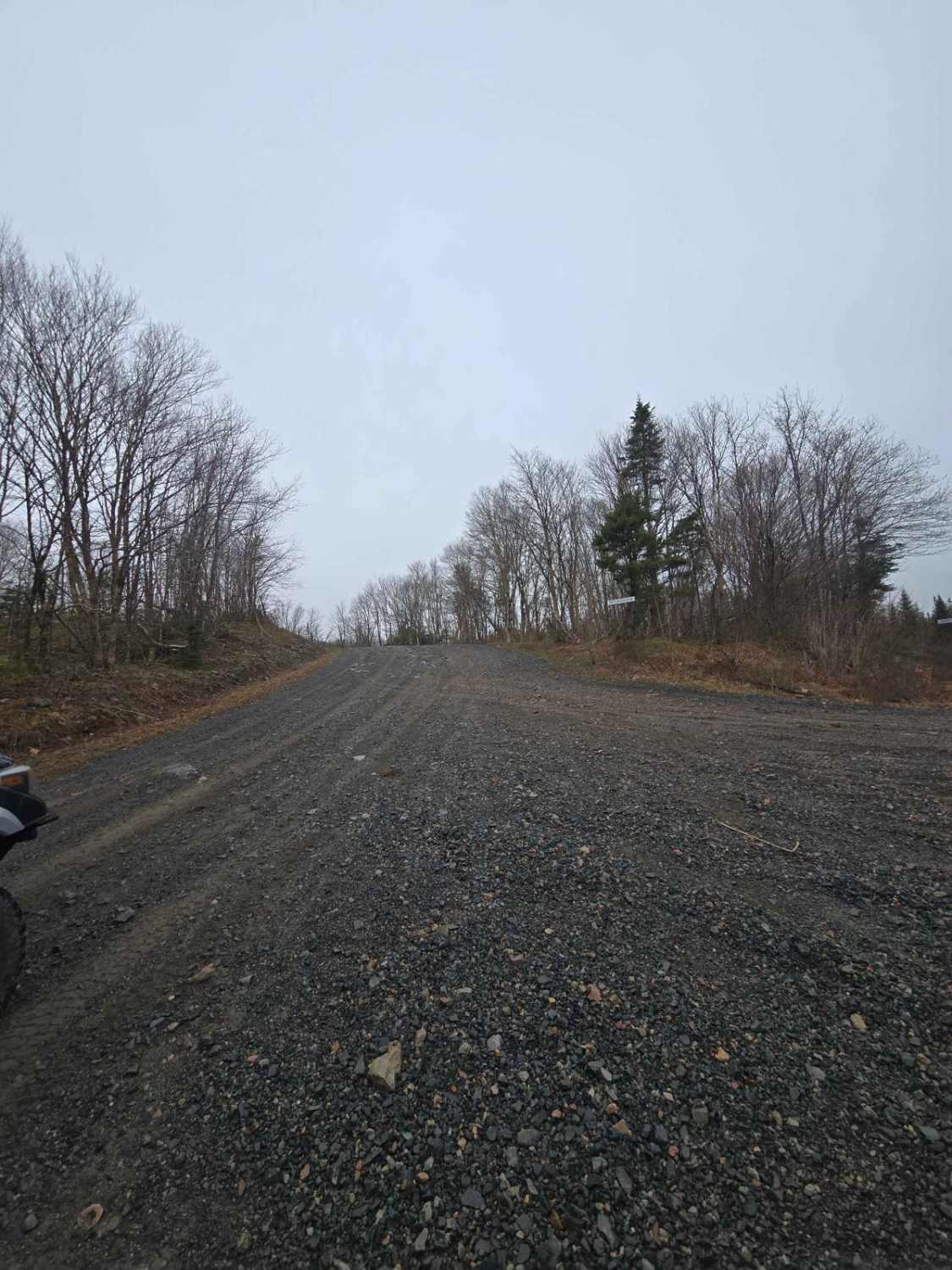
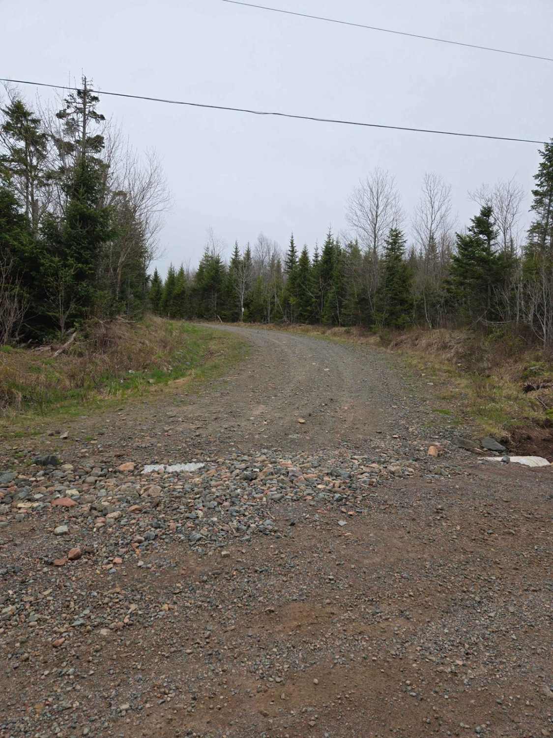
The trail begins as a two-lane gravel road before narrowing into a single-lane dirt path. Along the way, you'll encounter minor obstacles under 12 inches and occasional water puddles with firm bottoms. The trail eventually leads to a three-way intersection, offering access to multiple directions. At the bridge, when it turns to a single-lane road, there are two little waterfalls above and below the bridge, maybe 5 feet tall.
Photos of Paterson dam trail
Difficulty
shallow puddles with hard packed bottom , single lane in spots and rock obstacles under 12"
Status Reports
Paterson dam trail can be accessed by the following ride types:
- High-Clearance 4x4
- SUV
- SxS (60")
- ATV (50")
- Dirt Bike
Paterson dam trail Map
Popular Trails

Browns Mountain Road
Totten Meadow Trail

Scott Paper Road
The onX Offroad Difference
onX Offroad combines trail photos, descriptions, difficulty ratings, width restrictions, seasonality, and more in a user-friendly interface. Available on all devices, with offline access and full compatibility with CarPlay and Android Auto. Discover what you’re missing today!