Scott Paper Road
Total Kilometers
9.9
Technical Rating
Best Time
Spring, Summer, Fall
Trail Type
Full-Width Road
Accessible By
Trail Overview
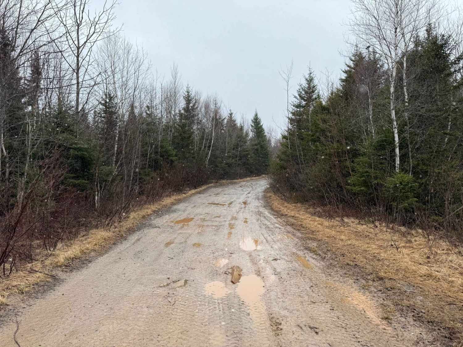
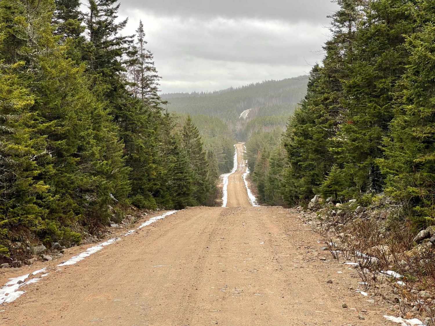
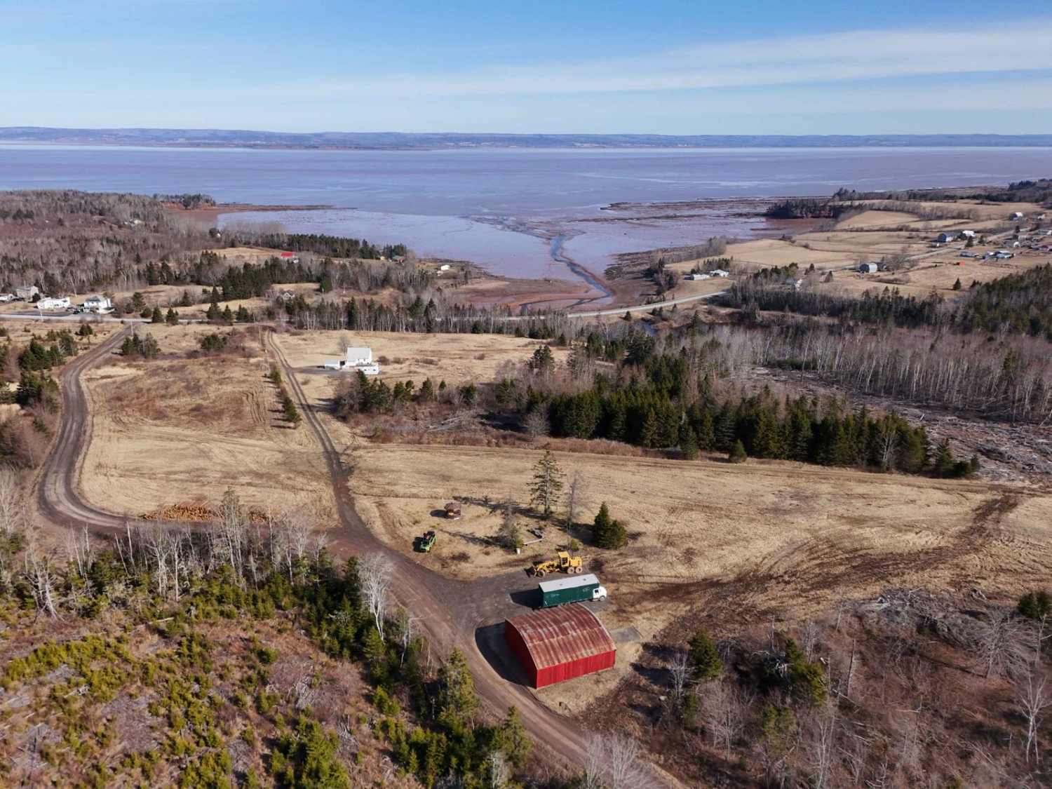
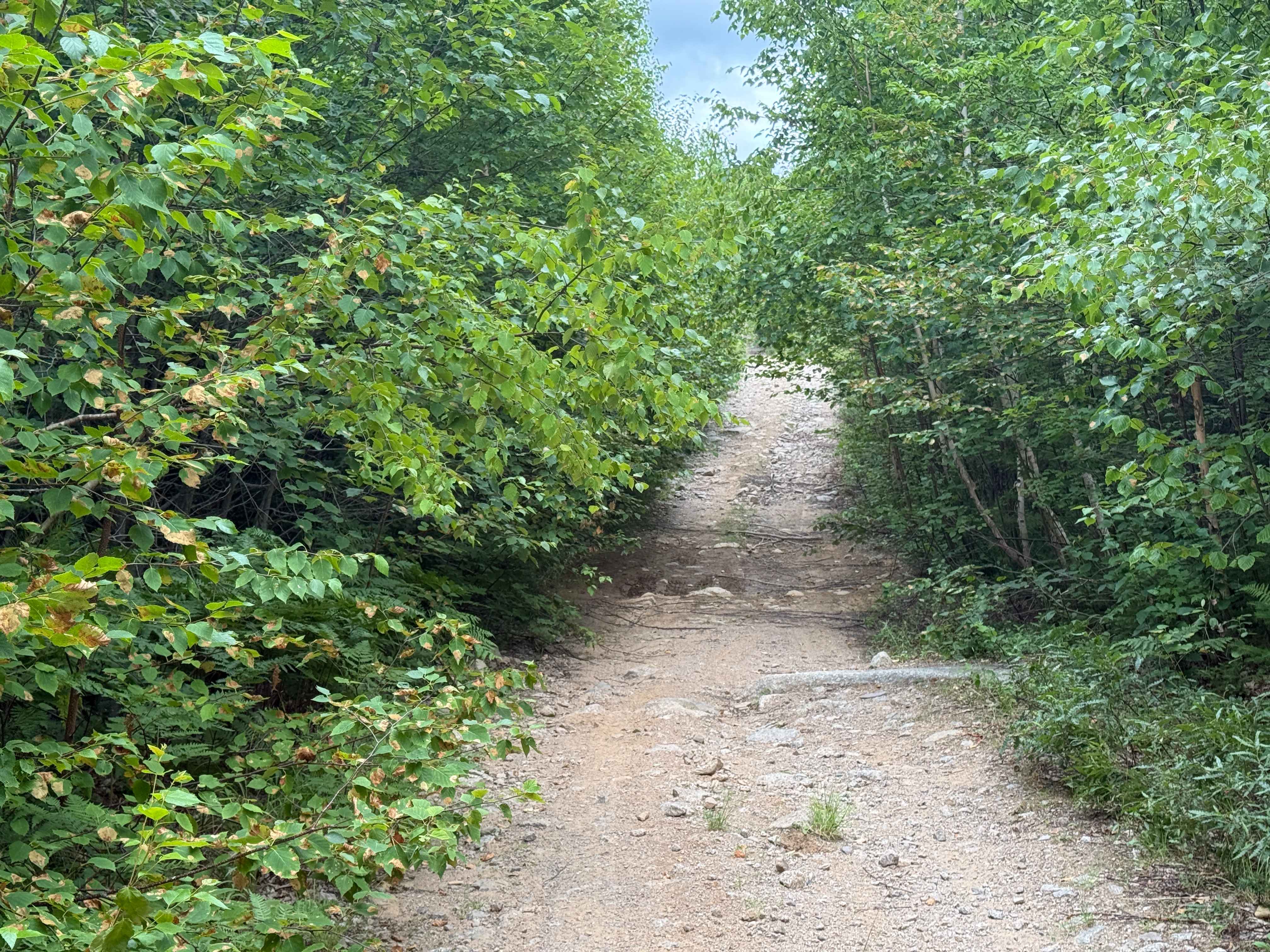
Scott Paper Road, located off Monte Vista Road near Enfield, Nova Scotia, is a historic dirt road named after the Scott Paper Company, which operated extensively in the province. This road was originally used for logging operations and now provides access to scenic trails in the area. A key highlight of the trail network is Slaty Brook Falls (44.952300, -63.604280), a picturesque waterfall nestled in a serene forest setting. The falls can be reached via a short hike from Scott Paper Road, making it a popular destination for nature enthusiasts. The east end of Scott Paper Road, beginning at Monte Vista Road, offers an easy dirt road suitable for most vehicles, with minor washouts and potholes to navigate. After crossing beneath the power lines, the trail becomes rougher, featuring larger puddles and occasional washouts that may require careful driving. The trail concludes at the northern end of Jim Horne Lake, providing a scenic endpoint for adventurers exploring this historic logging route.
Photos of Scott Paper Road

Difficulty
This trial has washed out sections and large puddles to be cautious of.
History
Scott Paper Road is named after it's association with the Scott Paper Company who had a large involvement in the pulp and paper industry in Nova Scotia. They owned over 500,000 acres of land for their forestry operations.
Status Reports
Scott Paper Road can be accessed by the following ride types:
- High-Clearance 4x4
- SUV
- SxS (60")
- ATV (50")
- Dirt Bike
Scott Paper Road Map
Popular Trails
Two Mile Lake Road
Trout Lake Road

Pipeline Road Trail
The onX Offroad Difference
onX Offroad combines trail photos, descriptions, difficulty ratings, width restrictions, seasonality, and more in a user-friendly interface. Available on all devices, with offline access and full compatibility with CarPlay and Android Auto. Discover what you’re missing today!