Two Mile Lake Road
Total Kilometers
9.8
Technical Rating
Best Time
Spring, Summer, Fall
Trail Type
Full-Width Road
Accessible By
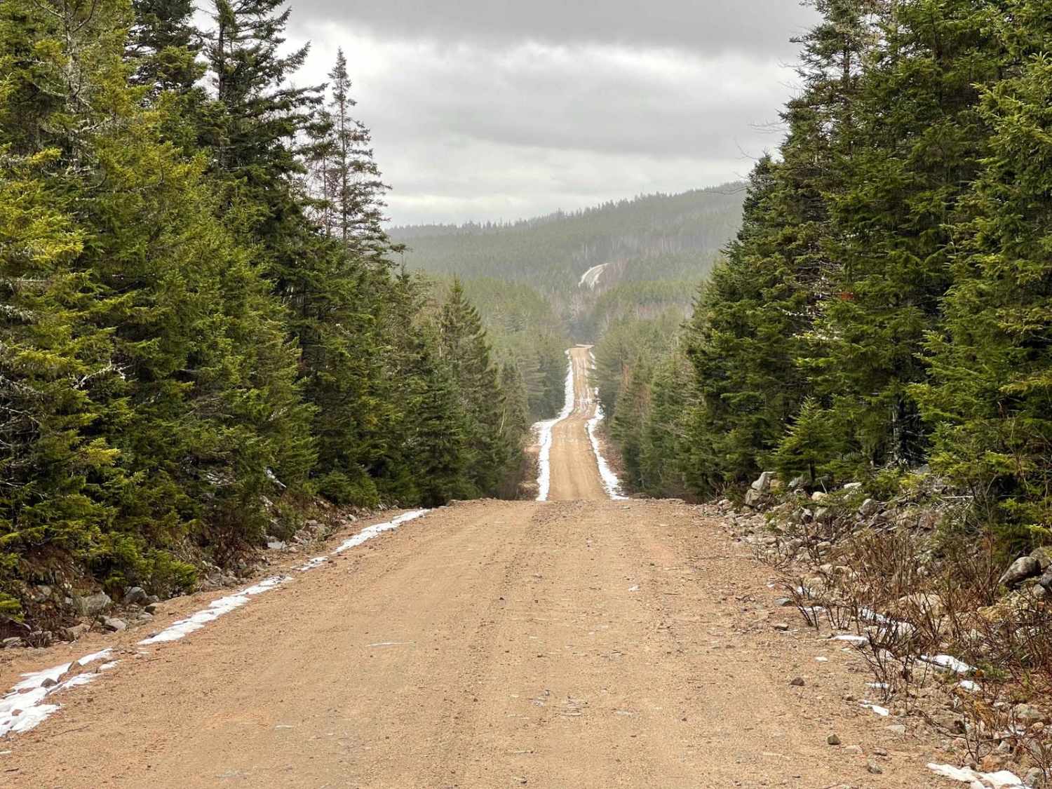
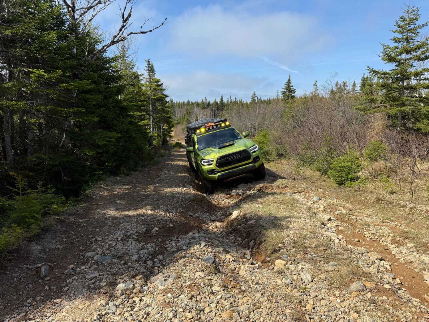
Trail Overview
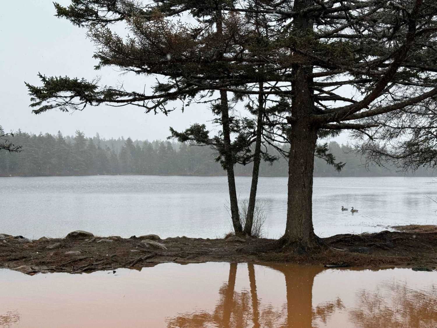
Two Mile Lake Road runs north-south in the Bowater Mersey trail system, starting from the southern end of Ingramport Road and ending at Two Mile Lake. The trail begins as a wide, well-maintained gravel road with a new bridge over the Ingram River. After the bridge, the next 3 km is an active logging road, so be cautious of machinery. This section can be muddy and slick. The final northern section after the logging area narrows and is rutted, with a few deep puddles to watch out for. The road ends at the power lines by Two Mile Lake. Along this road, you can access a multitude of other trails, campsites, and lakes.
Photos of Two Mile Lake Road

Difficulty
The trail can be rutted and muddy at times with a few large puddles.
Status Reports
Two Mile Lake Road can be accessed by the following ride types:
- High-Clearance 4x4
- SUV
- SxS (60")
- ATV (50")
- Dirt Bike
Two Mile Lake Road Map
Popular Trails
Marianna Road
Scott Paper Road

Butler Road

East River Road
The onX Offroad Difference
onX Offroad combines trail photos, descriptions, difficulty ratings, width restrictions, seasonality, and more in a user-friendly interface. Available on all devices, with offline access and full compatibility with CarPlay and Android Auto. Discover what you’re missing today!