Marianna Road
Total Kilometers
14.4
Technical Rating
Best Time
Summer, Fall, Spring
Trail Type
Full-Width Road
Accessible By
Trail Overview
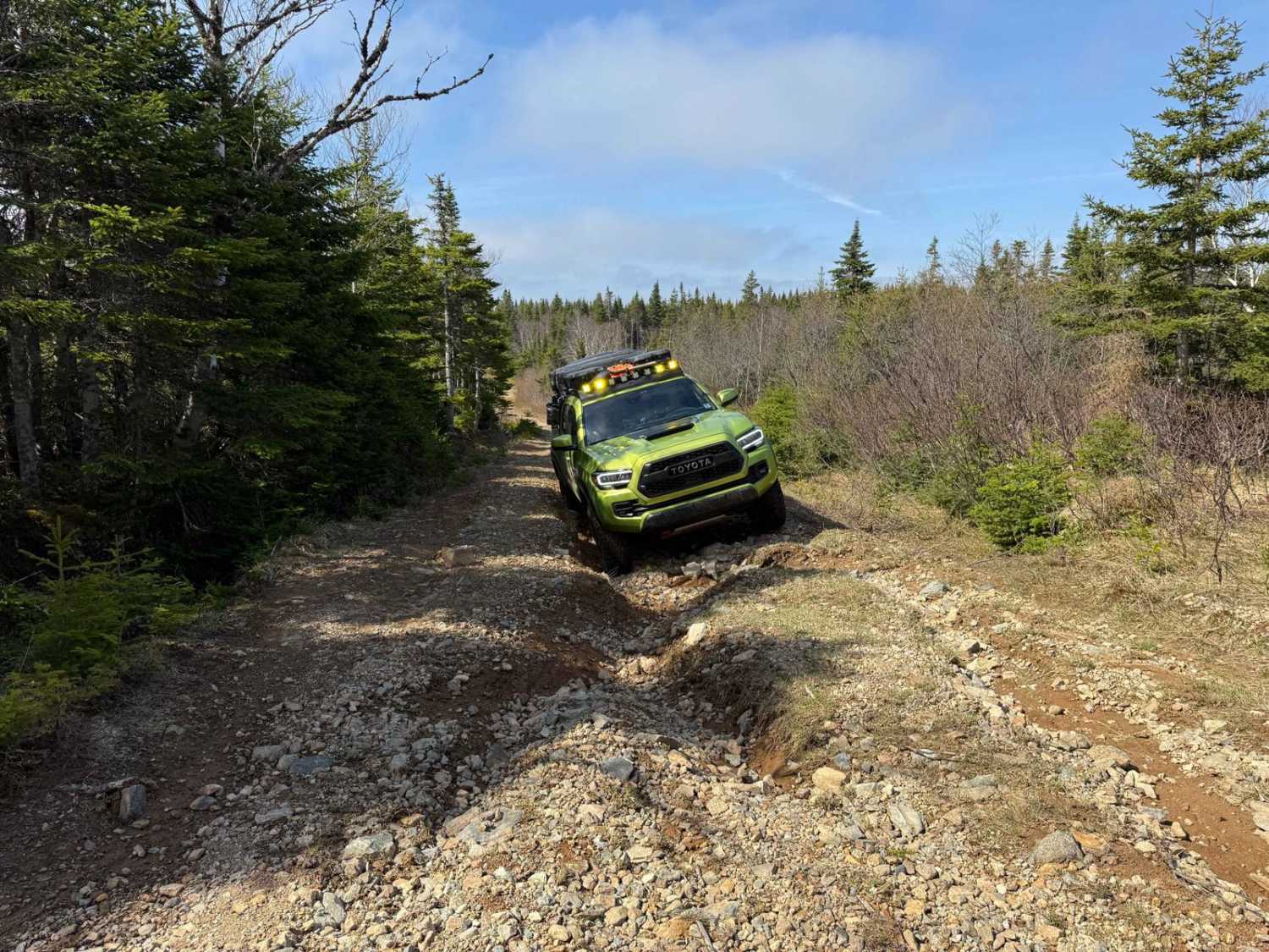
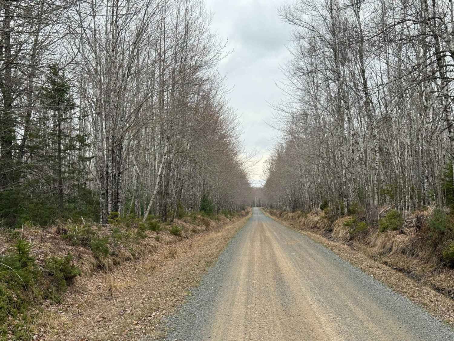
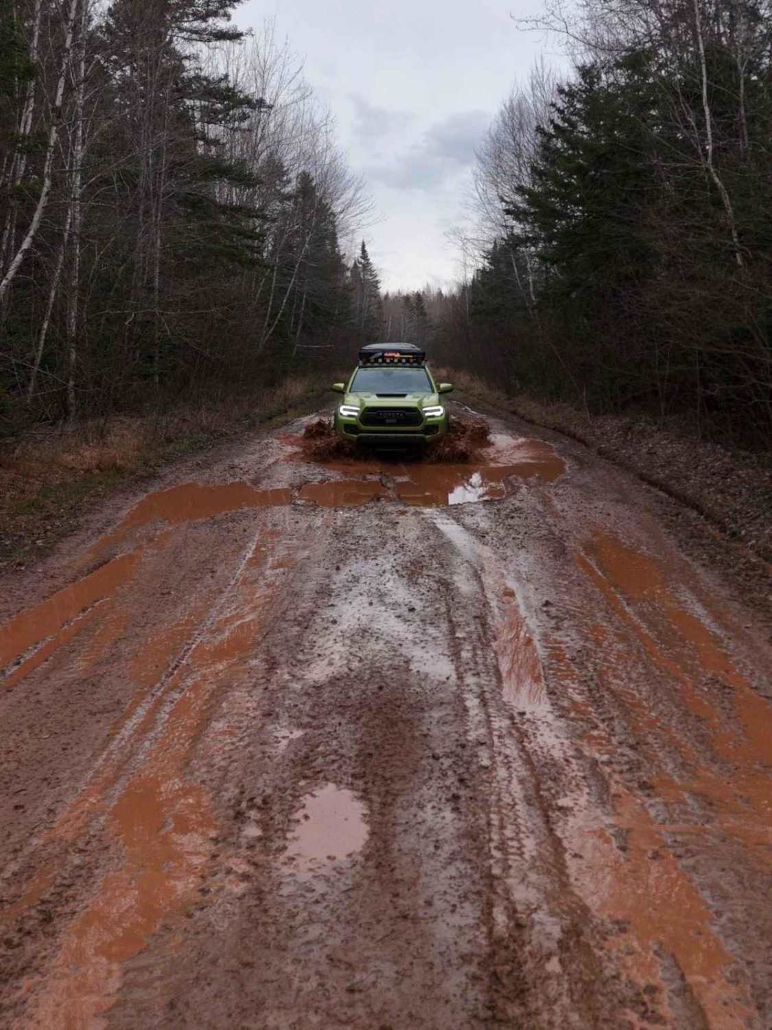
The north-south route from the T-intersection of Oregon Trail, Timber Lake West Road, and Marianna Road extends to Doyle Road. The southern 9 km to Kelly Road is a broad, smooth gravel road with some potholes. North of Kelly Road, the trail narrows and deteriorates. A heavily washed-out section is located 2 km from the northern end, requiring a high-clearance 4x4 vehicle. A spotter is recommended for navigating this area.
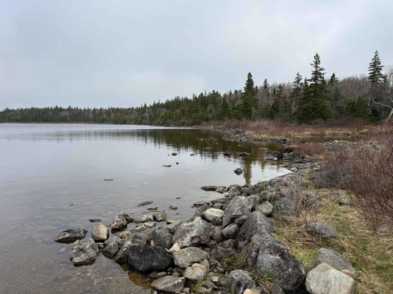
Photos of Marianna Road
Difficulty
The trail is primarily rated difficult due to a heavily washed-out section located 2 km from the northern end. This area requires a high-clearance 4x4 vehicle to navigate and is best approached with the assistance of a spotter.
History
Marianna Road is a former logging road, originally used to access timber harvesting areas in the Cape Breton region. Over time, as logging operations shifted or ceased, the road transitioned into a recreational trail. Its rugged terrain and remote setting now make it popular among off-roaders and outdoor enthusiasts.
Status Reports
Marianna Road can be accessed by the following ride types:
- High-Clearance 4x4
- SUV
- SxS (60")
- ATV (50")
- Dirt Bike
Marianna Road Map
Popular Trails
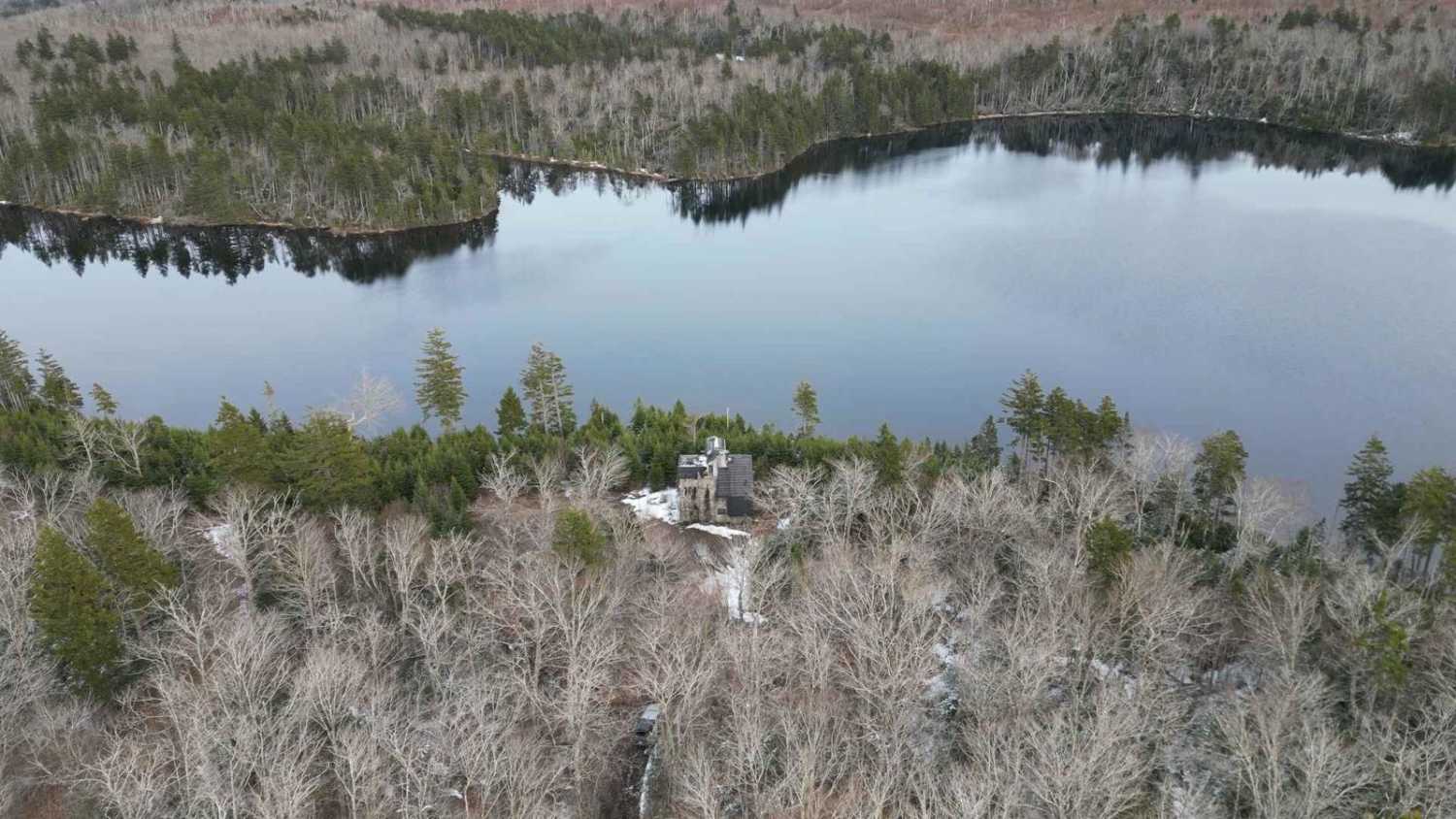
Johnson Lake Castle
Straight Road Trail
Mosher Road

Shady Lake Trail
The onX Offroad Difference
onX Offroad combines trail photos, descriptions, difficulty ratings, width restrictions, seasonality, and more in a user-friendly interface. Available on all devices, with offline access and full compatibility with CarPlay and Android Auto. Discover what you’re missing today!