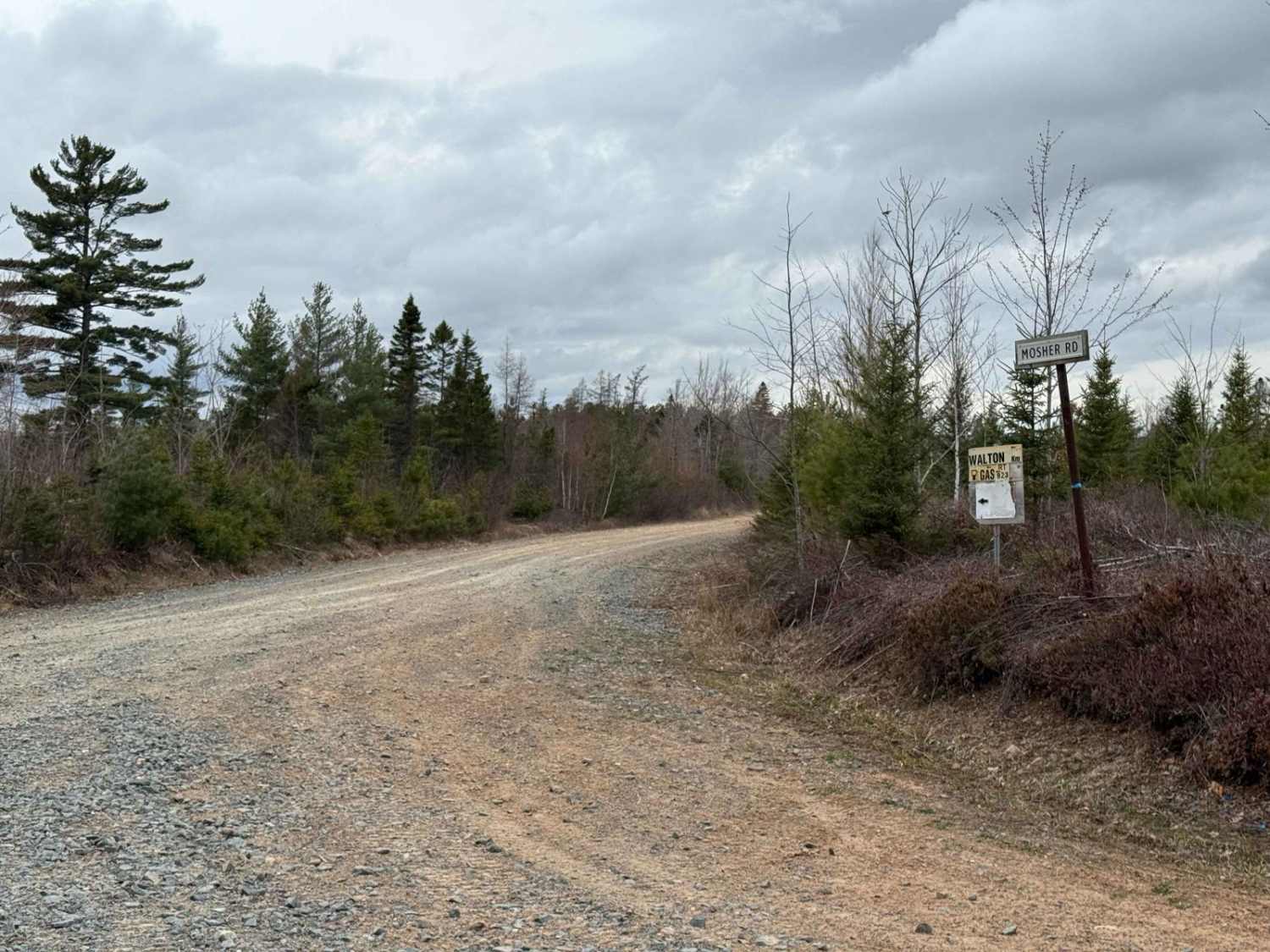
Mosher Road
Total Kilometers
13.0
Technical Rating
Best Time
Spring, Summer, Fall
Trail Type
Full-Width Road
Accessible By
Trail Overview
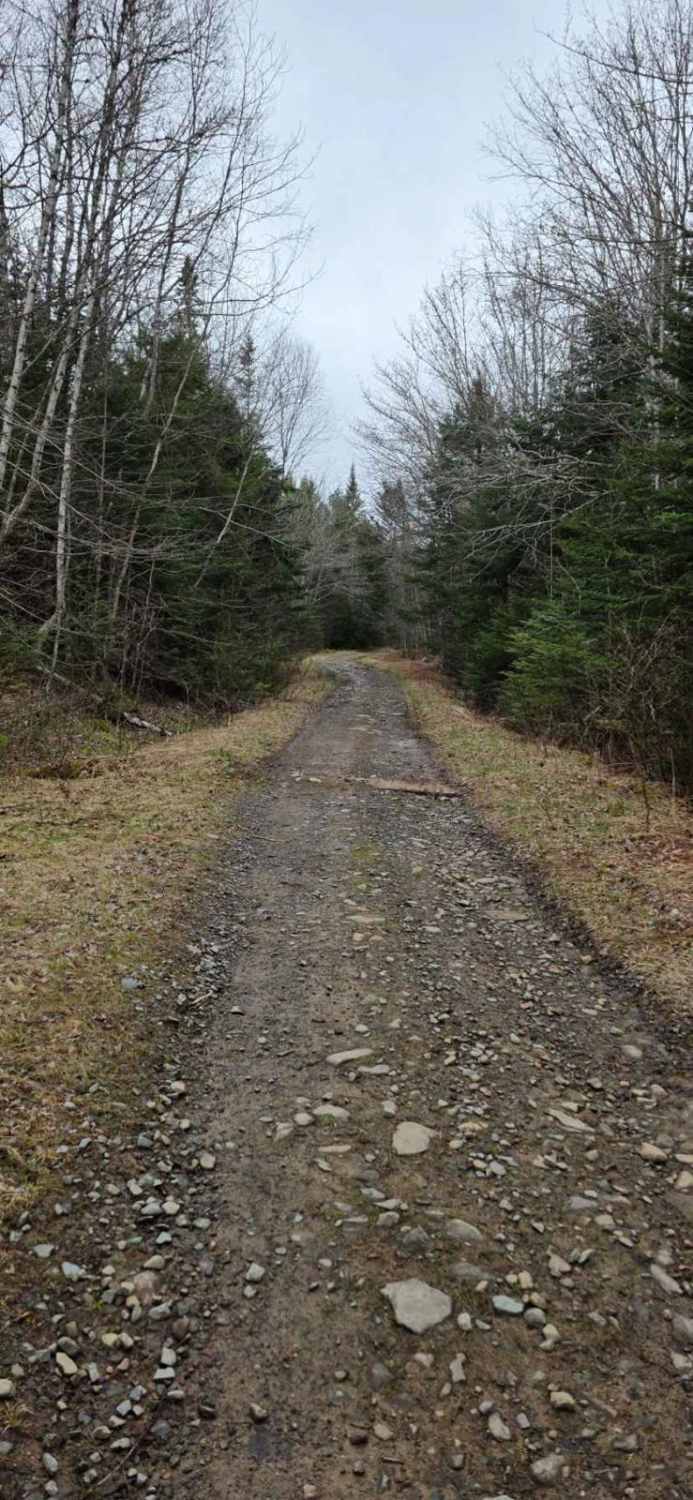
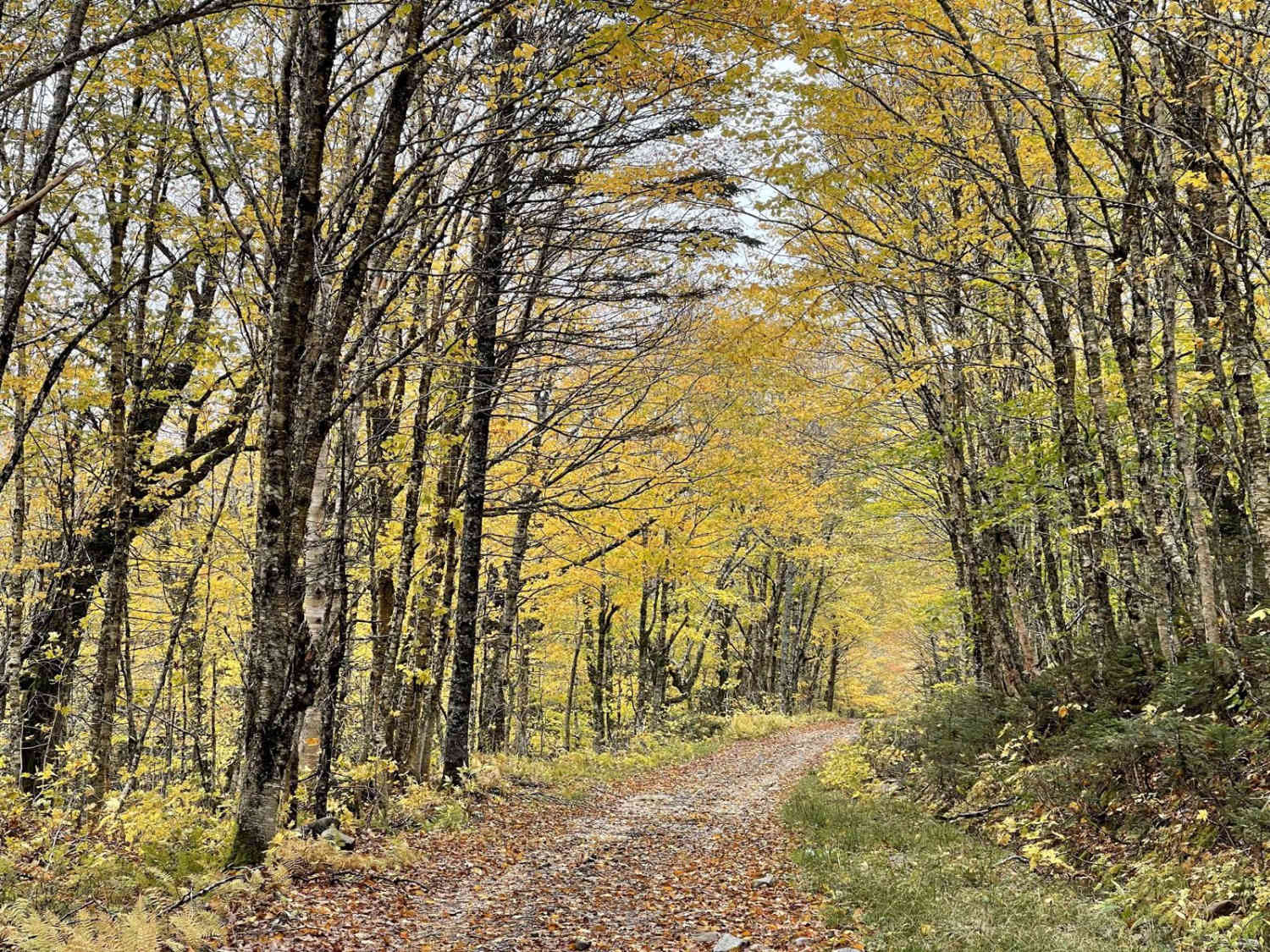
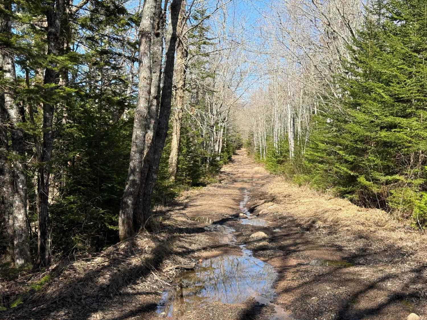
The southern half of Mosher Road features a relatively smooth, hard-packed dirt surface with no significant obstacles. Midway along the route, you'll encounter a section of the original road blocked off, necessitating a 2km bypass. This bypass includes areas with deep, muddy ruts, but these can be easily navigated. Once you rejoin the original road, the terrain returns to smooth, hard-packed dirt before transitioning to a rough, rocky surface near the end. A windmill at the trail's northern end serves as a landmark, indicating you're nearing your destination.
Photos of Mosher Road
Difficulty
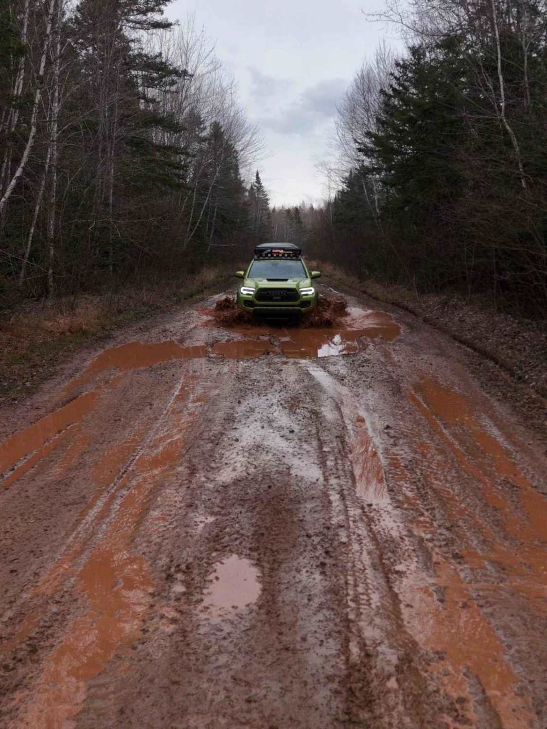
Loose gravel and potential for washouts and muddy ruts after rain.
History
The northern end of Mosher Road, where it connects to Walton Woods Road, starts off on crown land that was formerly granted to Captain Daniel McNeil. Captain Daniel McNeil was born in 1752 in Lower Little River, Cumberland County, North Carolina. During the American Revolution, he sided with the British and served as a Lieutenant in the 71st Regiment, later becoming a Captain in the North Carolina Regiment.In 1794, McNeil was granted 1,000 acres of land adjacent to Petite (now Walton), Hants County, Nova Scotia. McNeil and his family moved to this property around 1798. He lived most of his life in Halifax but passed away in Walton on May 5, 1818, at the age of 66. Initially buried at Loyal Hill, his remains were later moved to the Parker Family Cemetery at Whale Creek, Walton, Nova Scotia.
Status Reports
Mosher Road can be accessed by the following ride types:
- High-Clearance 4x4
- SUV
- SxS (60")
- ATV (50")
- Dirt Bike
Mosher Road Map
Popular Trails
Scott Paper Conector

East River Road
Oregon Trail
The onX Offroad Difference
onX Offroad combines trail photos, descriptions, difficulty ratings, width restrictions, seasonality, and more in a user-friendly interface. Available on all devices, with offline access and full compatibility with CarPlay and Android Auto. Discover what you’re missing today!