Beeswanger Trail
Total Kilometers
14.4
Technical Rating
Best Time
Winter, Summer
Trail Type
High-Clearance 4x4 Trail
Accessible By
Trail Overview
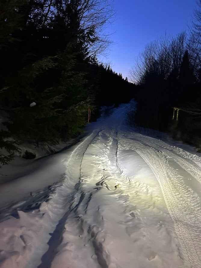
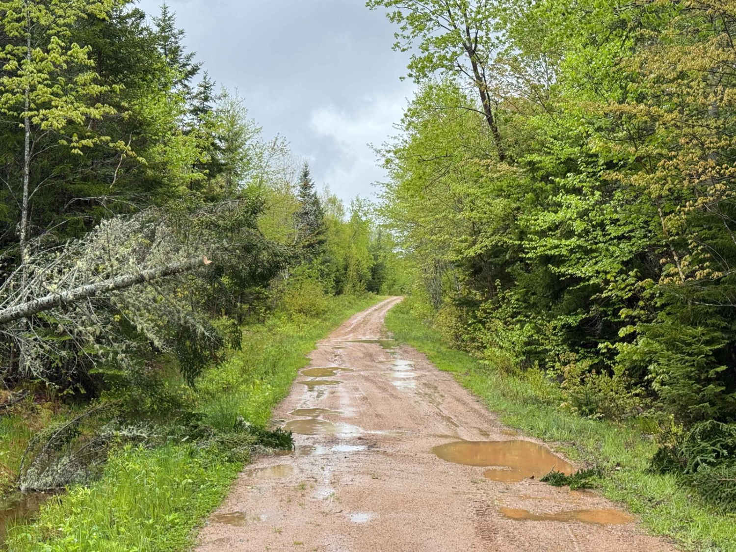
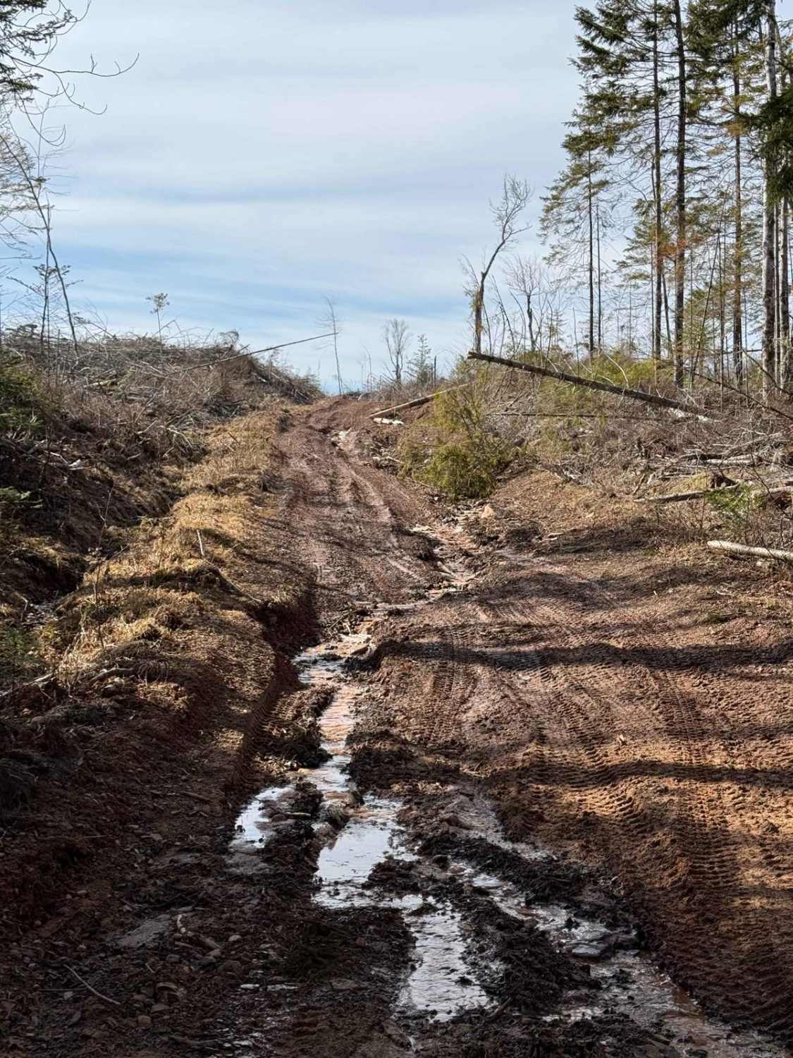
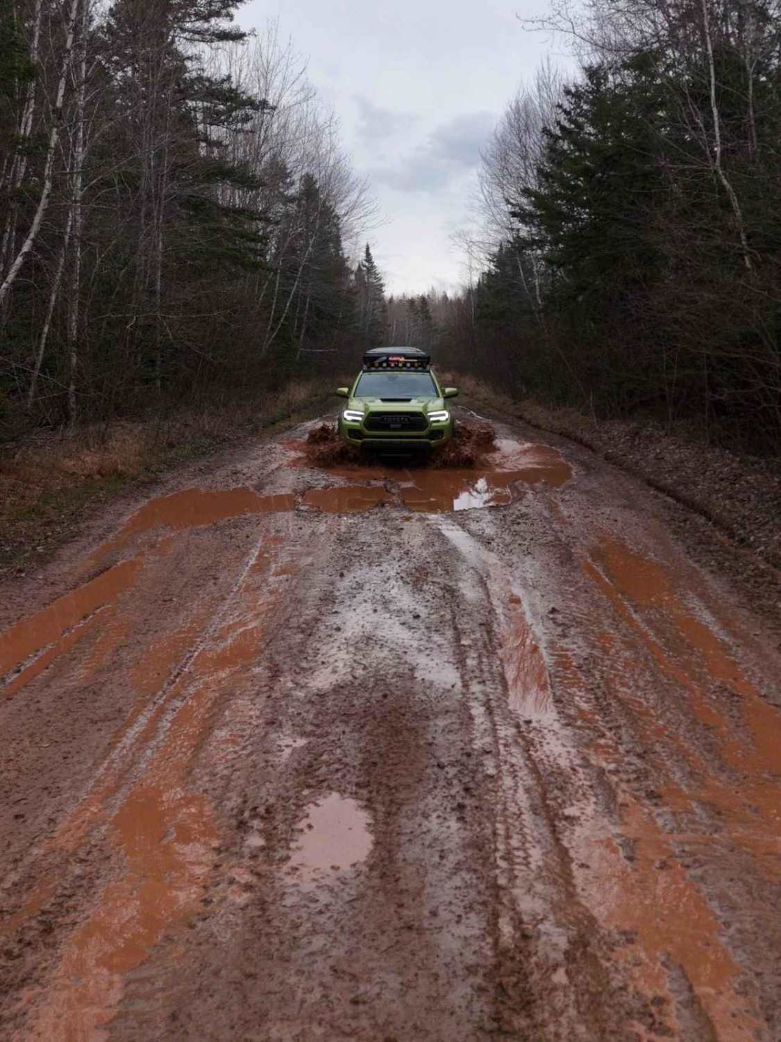
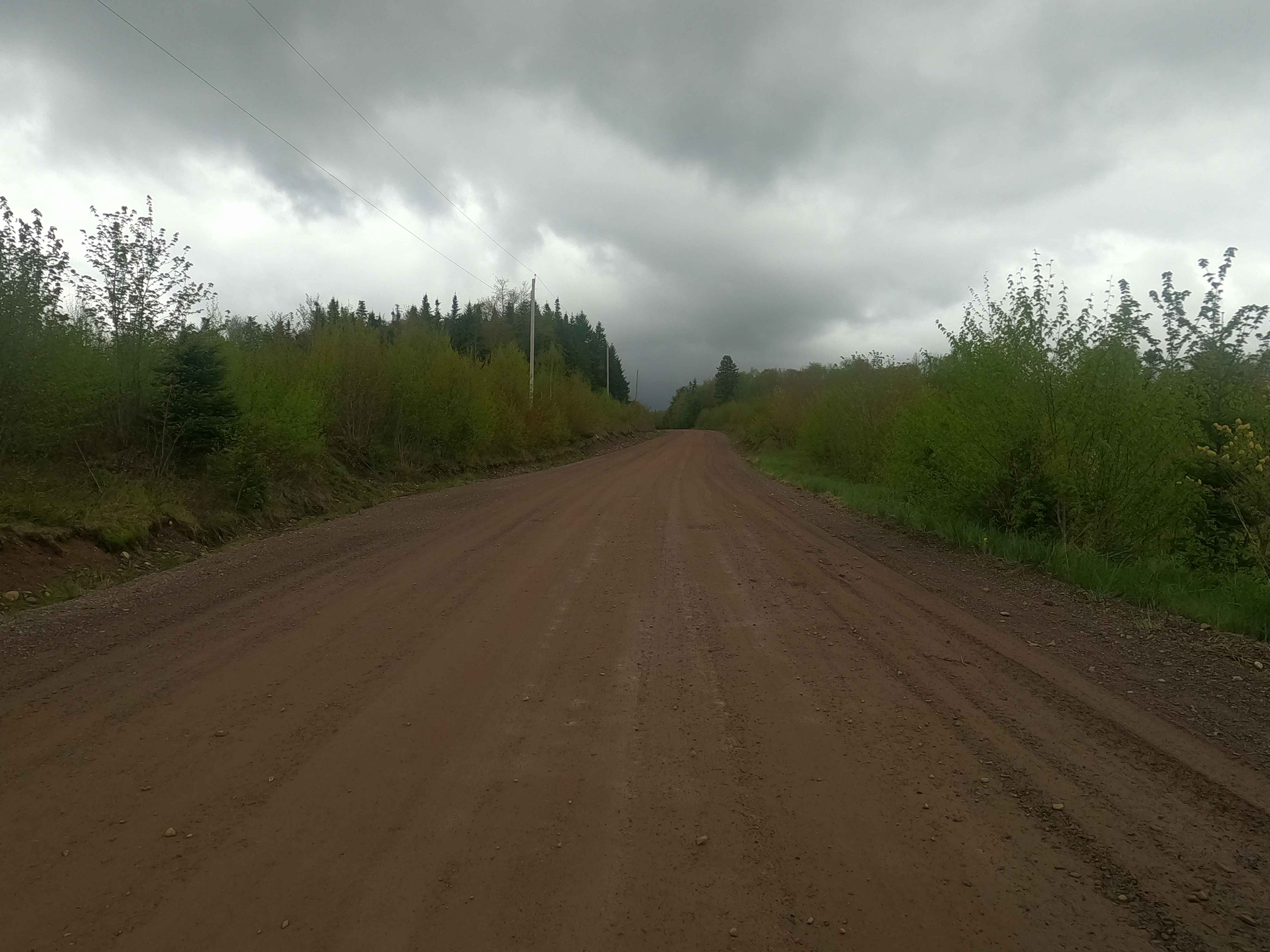
Running from north to south, Beeswanger Trail is an unmaintained road that crosses private property and enters Nova Scotia Crown Land (Please stay on the trail!) The first 3.3 miles are mostly a tight trail with some rock gardens and a few washouts that are passable by Jeep but can be challenging in slippery conditions. Early in the trail, there is an abandoned rail line to cross and a very narrow land dam, which is the namesake of the trail, Beeswanger Da. After the first 3.3 miles, the road surface improves to an unmaintained gravel/rock road with a few washouts. A large portion of this trail has brush and branches hanging into the trail, and pinstriping is highly likely.
Photos of Beeswanger Trail

Difficulty
This trail has tight trees and obstacles including a land bridge that is very narrow. It is passable by Jeep but midsize trucks may have trouble in the tight trees. There are a few washouts and rock gardens with no bypass as well as a few water holes and some off camber sections that require caution. The abandoned rail tracks can be difficult to cross for short wheelbase vehicles.
Status Reports
Beeswanger Trail can be accessed by the following ride types:
- High-Clearance 4x4
- SxS (60")
- ATV (50")
- Dirt Bike
Beeswanger Trail Map
Popular Trails
Sweet Road
Mill Road
Mosher Road
Upper Belmont Road
The onX Offroad Difference
onX Offroad combines trail photos, descriptions, difficulty ratings, width restrictions, seasonality, and more in a user-friendly interface. Available on all devices, with offline access and full compatibility with CarPlay and Android Auto. Discover what you’re missing today!