Sweet Road
Total Kilometers
16.7
Technical Rating
Best Time
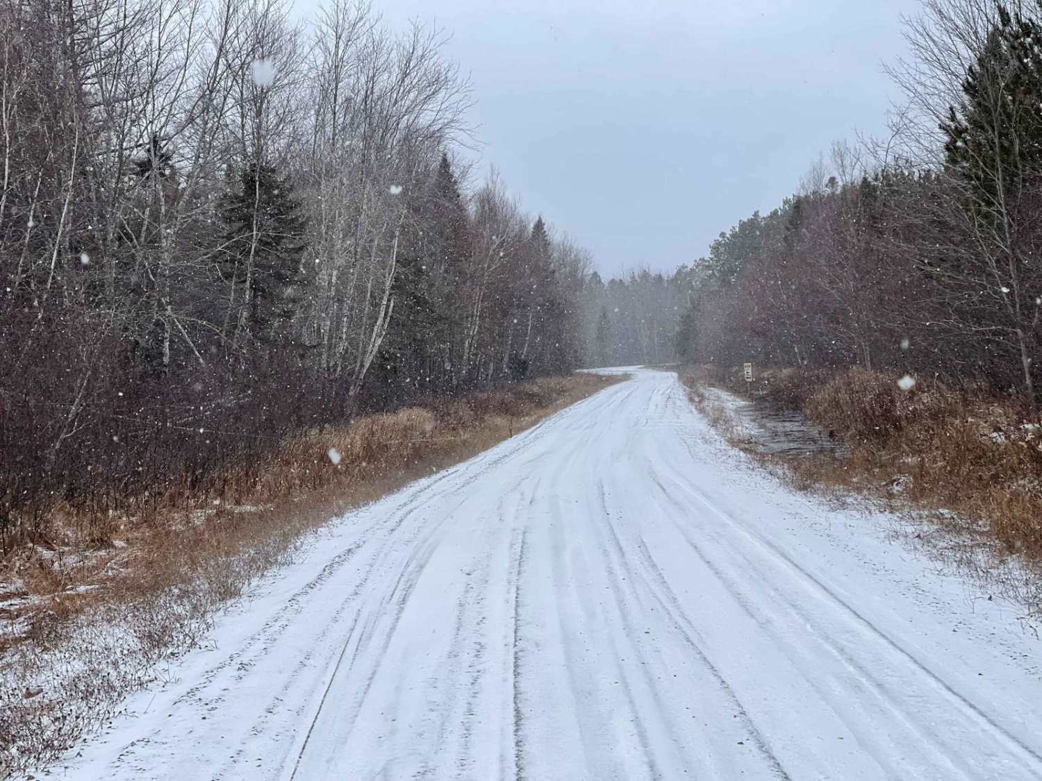
Spring, Summer, Fall
Trail Type
Full-Width Road
Accessible By
Trail Overview
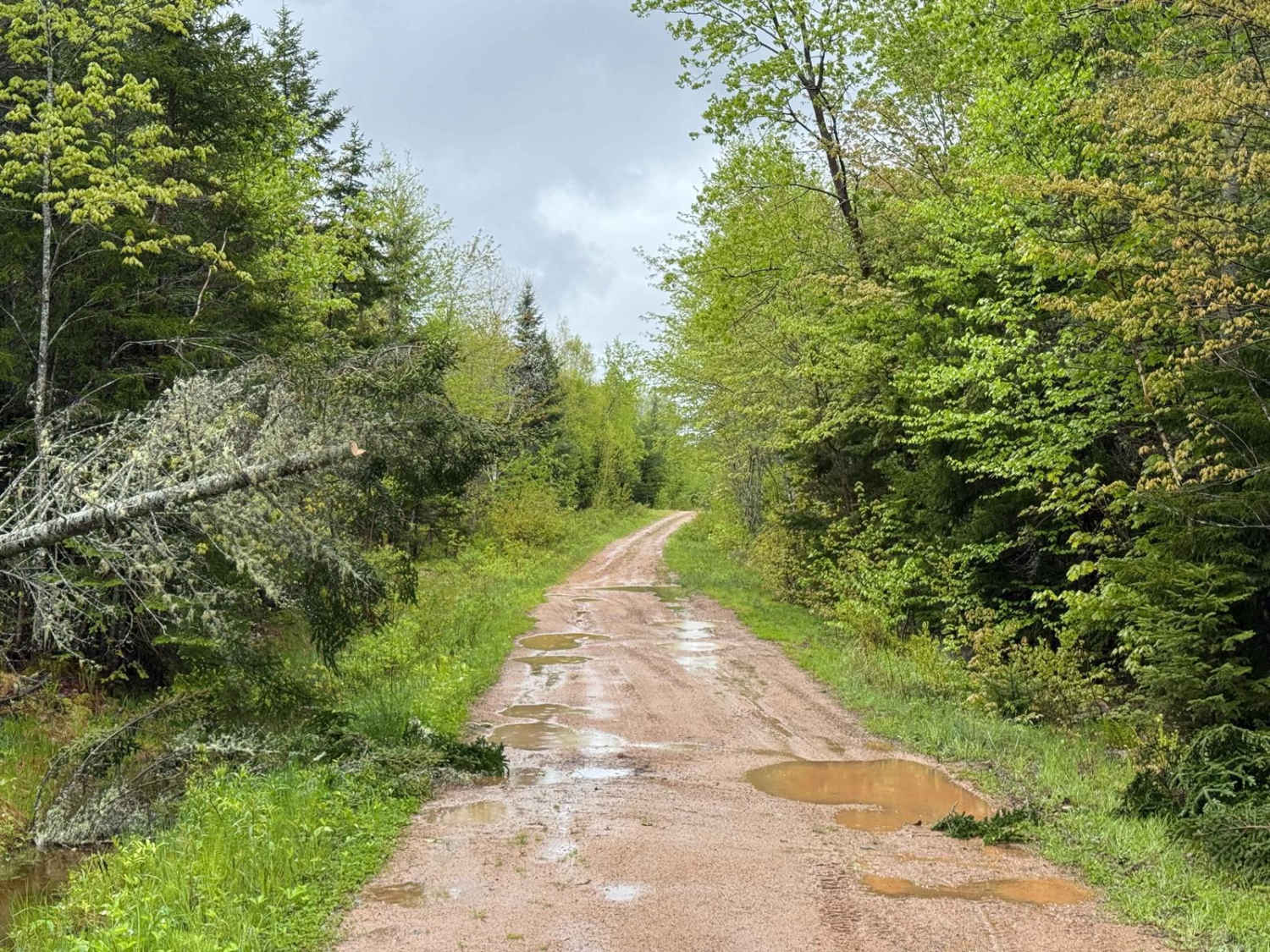
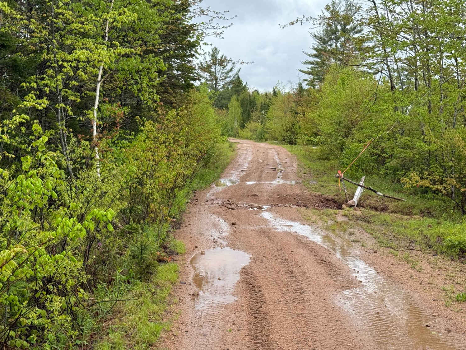
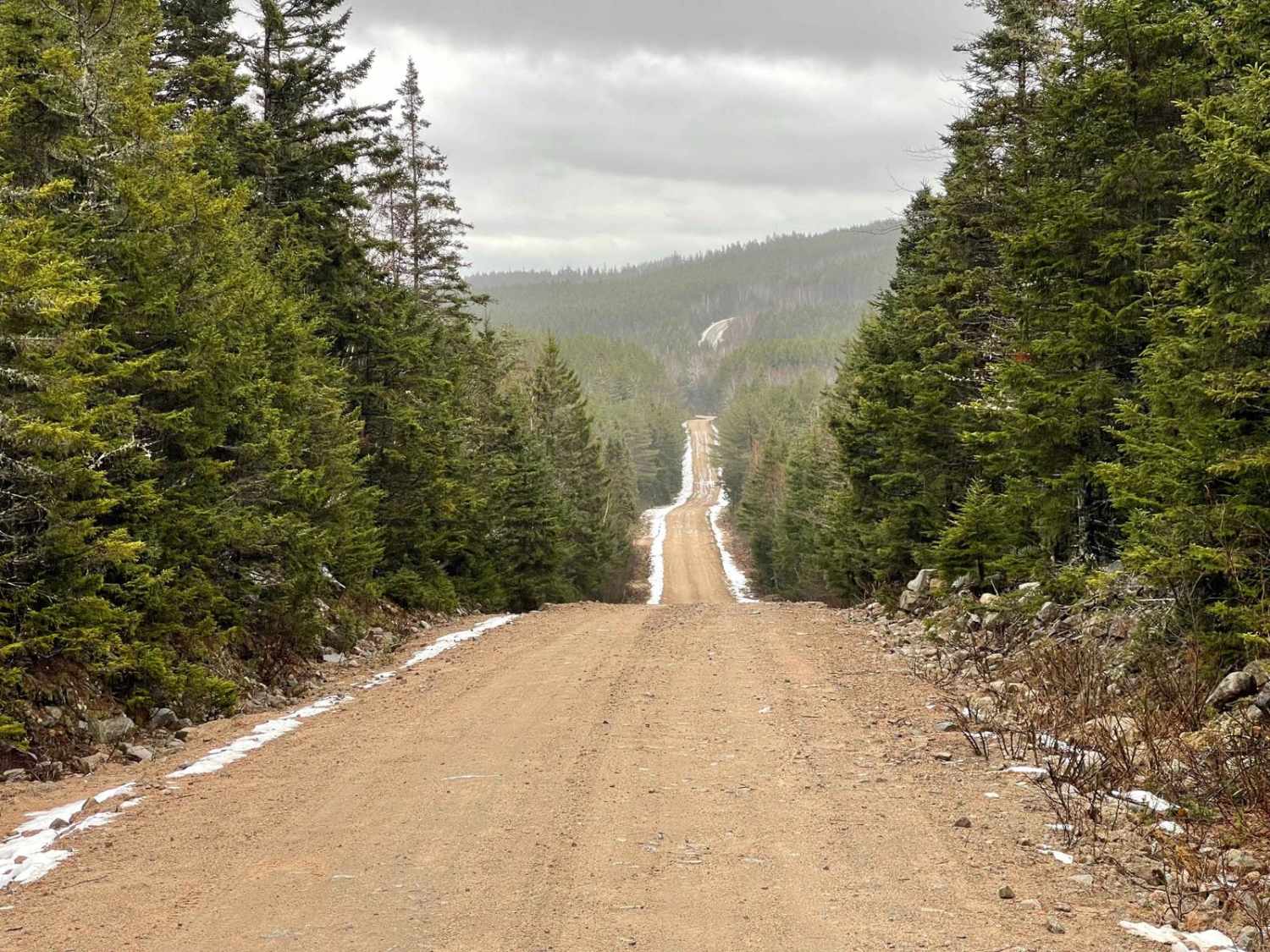
Sweet Road is a hard-packed dirt logging road with two distinct sections. The west branch offers relatively smooth terrain, though washouts can appear after heavy rain. The east branch is more rugged, narrowing considerably with exposed rocks, large flooded sections, and dense brush that will result in noticeable vehicle striping.
Photos of Sweet Road
Difficulty
This trail features washouts, large flooded sections, and narrow brush that can result in heavy vehicle stripping, particularly on the east branch.
History
While there is no official documentation on the history of Sweet Road, its characteristics suggest it was once a logging road. The wide, hard-packed dirt path, scattered exposed rocks, and remnants of old cuttings indicate that it was likely used decades ago. This is a common origin for many trails in the South Mountain region, where forestry was a significant industry.
Status Reports
Sweet Road can be accessed by the following ride types:
- High-Clearance 4x4
- SUV
- SxS (60")
- ATV (50")
- Dirt Bike
Sweet Road Map
Popular Trails
Two Mile Lake Road
Stanley Airport Road
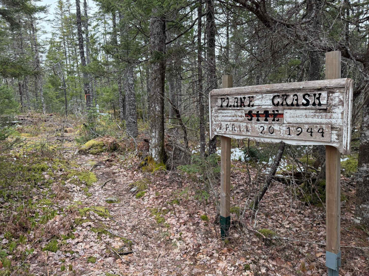
Plane Crash Trail

Butler Road
The onX Offroad Difference
onX Offroad combines trail photos, descriptions, difficulty ratings, width restrictions, seasonality, and more in a user-friendly interface. Available on all devices, with offline access and full compatibility with CarPlay and Android Auto. Discover what you’re missing today!