Plane Crash Trail
Total Kilometers
13.9
Technical Rating
Best Time
Fall, Summer, Spring
Trail Type
Full-Width Road
Accessible By
Trail Overview
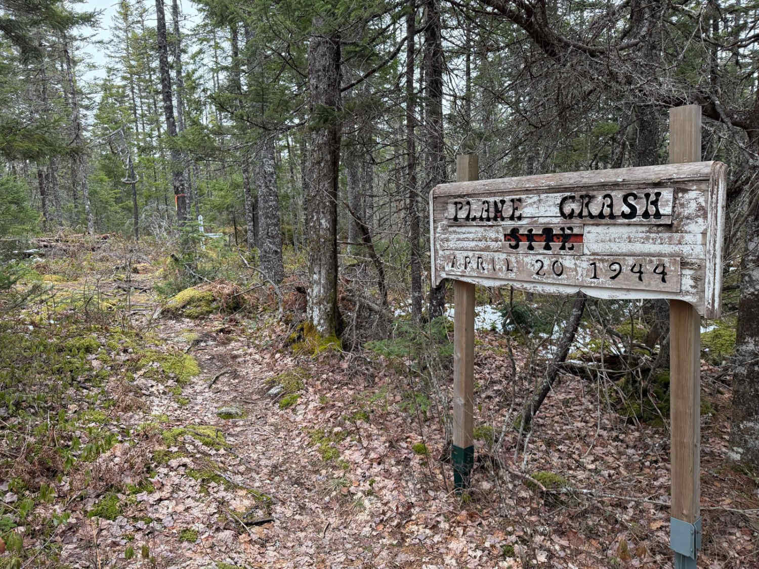
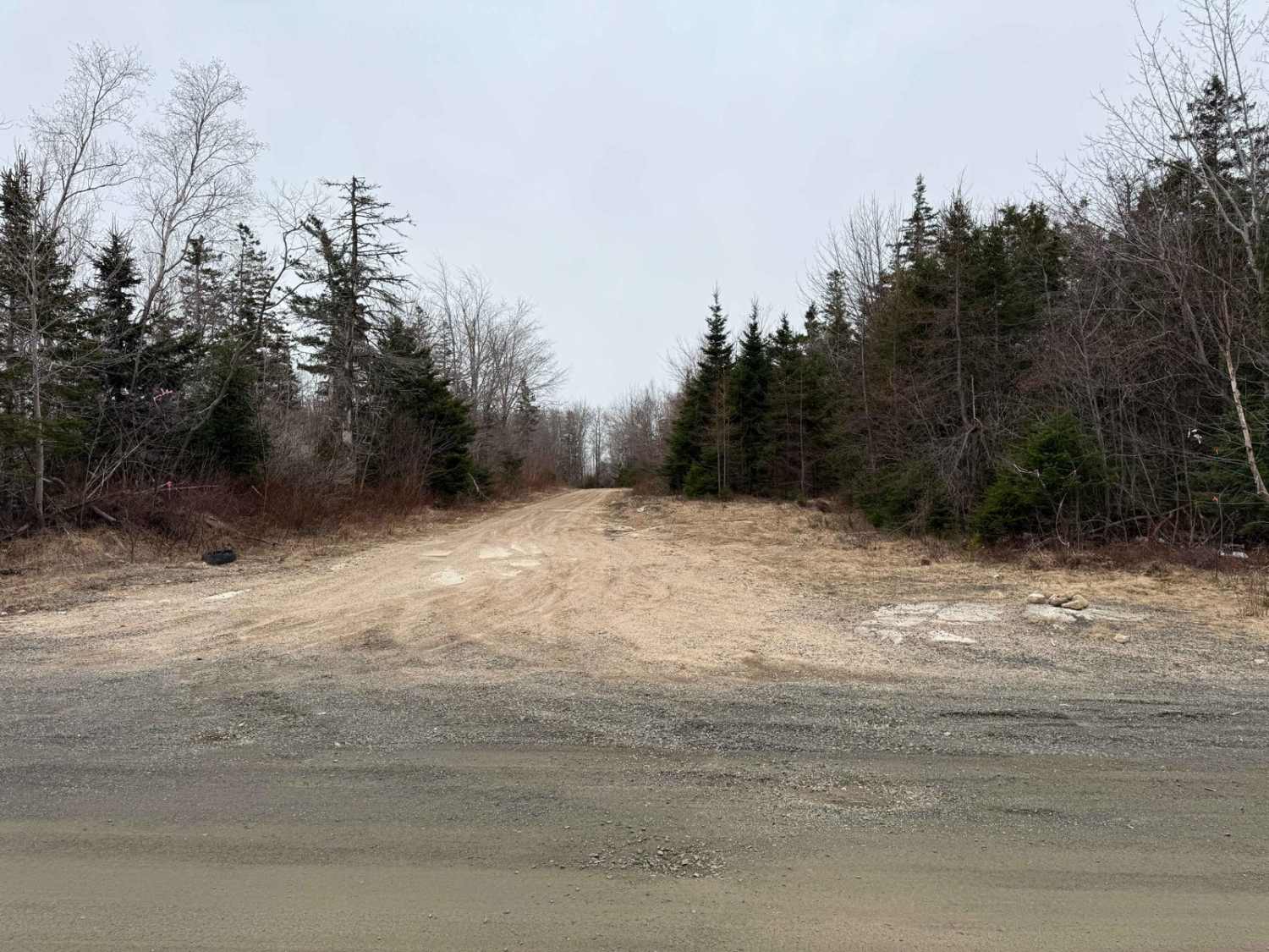
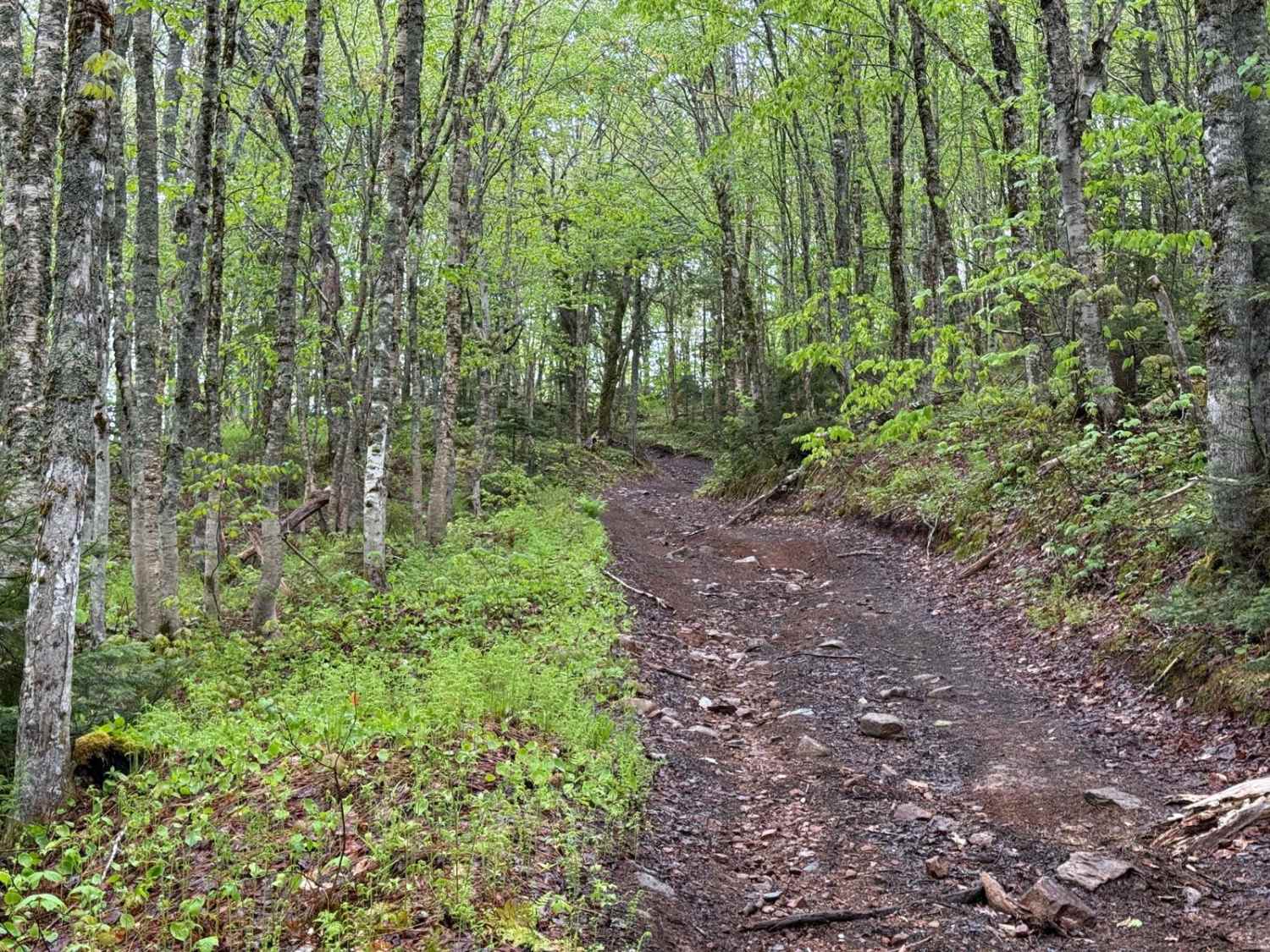
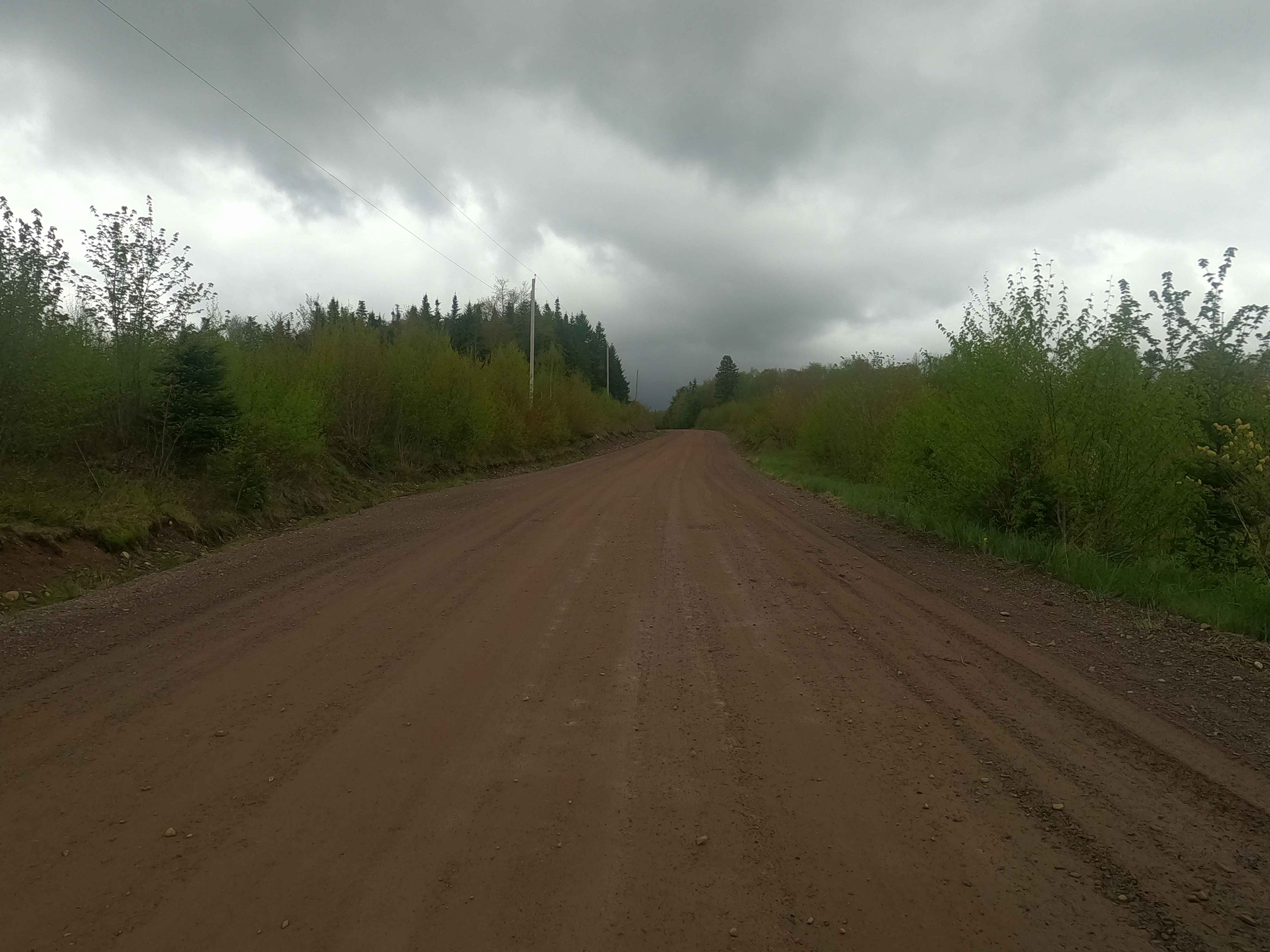
Starting at West Dalhousie Road, Plane Crash Trail is a consistently hard-packed single-lane dirt road with a loose sandy top. Be cautious of small washouts and fallen trees along the way. The main attraction is the WWII plane crash site at the halfway point, offering a unique historical landmark for visitors.
Photos of Plane Crash Trail
Difficulty
An easy single-lane road with some sandy spots and small washouts. Be cautious of fallen trees.
History
The plane crash near West Dalhousie Road involves a WWII-era Mosquito KB126 aircraft. On April 20, 1944, the plane crashed approximately 12 miles SSE of Bridgetown, NS. The crash resulted in the deaths of the pilot, P/O James Gerald Brown, and the navigator, F/O Hugh Edward McCann. The aircraft was scrapped on site, which was common for Mosquito crashes due to their damaged wooden airframes.
Status Reports
Plane Crash Trail can be accessed by the following ride types:
- High-Clearance 4x4
- SUV
- SxS (60")
- ATV (50")
- Dirt Bike
Plane Crash Trail Map
Popular Trails
Kingsross Trail

Hiking Trail Road
Upper Belmont Road
Plane Crash Trail
The onX Offroad Difference
onX Offroad combines trail photos, descriptions, difficulty ratings, width restrictions, seasonality, and more in a user-friendly interface. Available on all devices, with offline access and full compatibility with CarPlay and Android Auto. Discover what you’re missing today!