Kingsross Trail
Total Kilometers
12.2
Technical Rating
Best Time
Spring, Summer, Fall
Trail Type
High-Clearance 4x4 Trail
Accessible By
Trail Overview
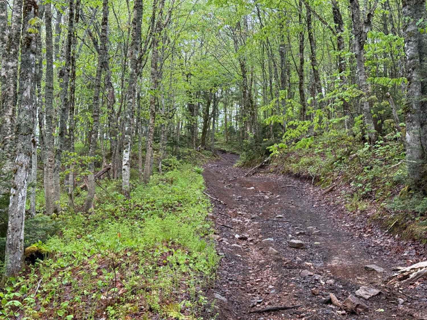
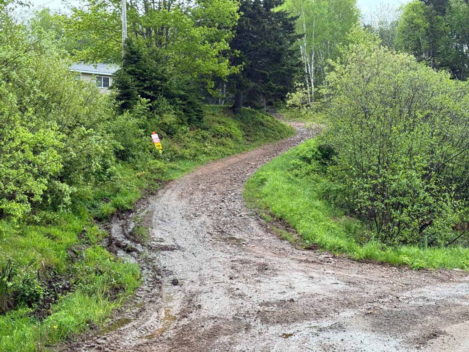
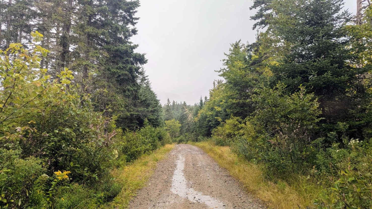
Starting at the eastern trailhead in Kingross, this trail immediately challenges drivers with a steep, heavily washed-out hill climb. The ascent features a 200m elevation gain over 1.5km, making it critical to air down and engage low range to reduce trail impact and improve traction. The initial section runs close to private property, so it is important to remain on the designated trail. After the first climb, the gradient decreases, and the trail becomes less washed out but still presents technical elements like exposed rocks, roots, and a small muddy patch. At 2.5km in, with an elevation of 350m, the trail connects with a logging road. From here, the terrain smooths out significantly, although drivers should still be cautious of small washouts, potholes, and slick conditions after rain.
Photos of Kingsross Trail
Difficulty
The Kingross Trail is rated challenging due to the initial steep hill climb with severe washouts. This section requires precise navigation and careful use of low-range gearing. Beyond this, the trail is moderate, with manageable obstacles and smoother terrain.
History
The Kingross Trail is located in the Margaree River Valley, a region steeped in natural beauty and cultural significance. Historically, this area was home to the Mi'kmaq people, who referred to the Margaree River as "Wiagajk," meaning "the mixing place." In the 18th and 19th centuries, Acadian settlers and Scottish Highlanders established communities here, contributing to the rich cultural tapestry of Cape Breton. The Margaree River, designated a Canadian Heritage River in 1998, remains central to the area's identity, renowned for its salmon fishing, lush landscapes, and deep connection to local traditions. While the trail itself lacks specific historical markers, it offers a chance to experience the broader heritage of this remarkable valley.
Status Reports
Kingsross Trail can be accessed by the following ride types:
- High-Clearance 4x4
- SxS (60")
- ATV (50")
- Dirt Bike
Kingsross Trail Map
Popular Trails

Hiking Trail Road
Strathglass Road


MacDonald's Glen Road
The onX Offroad Difference
onX Offroad combines trail photos, descriptions, difficulty ratings, width restrictions, seasonality, and more in a user-friendly interface. Available on all devices, with offline access and full compatibility with CarPlay and Android Auto. Discover what you’re missing today!