King Lake Trail
Total Kilometers
11.7
Technical Rating
Best Time
Spring, Summer, Fall
Trail Type
High-Clearance 4x4 Trail
Accessible By
Trail Overview
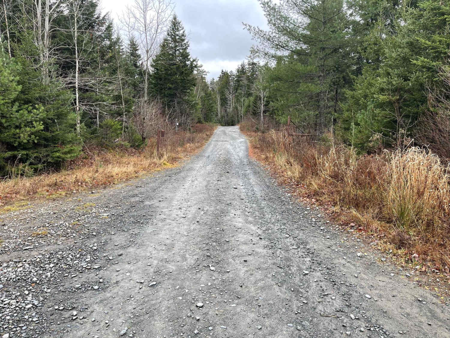
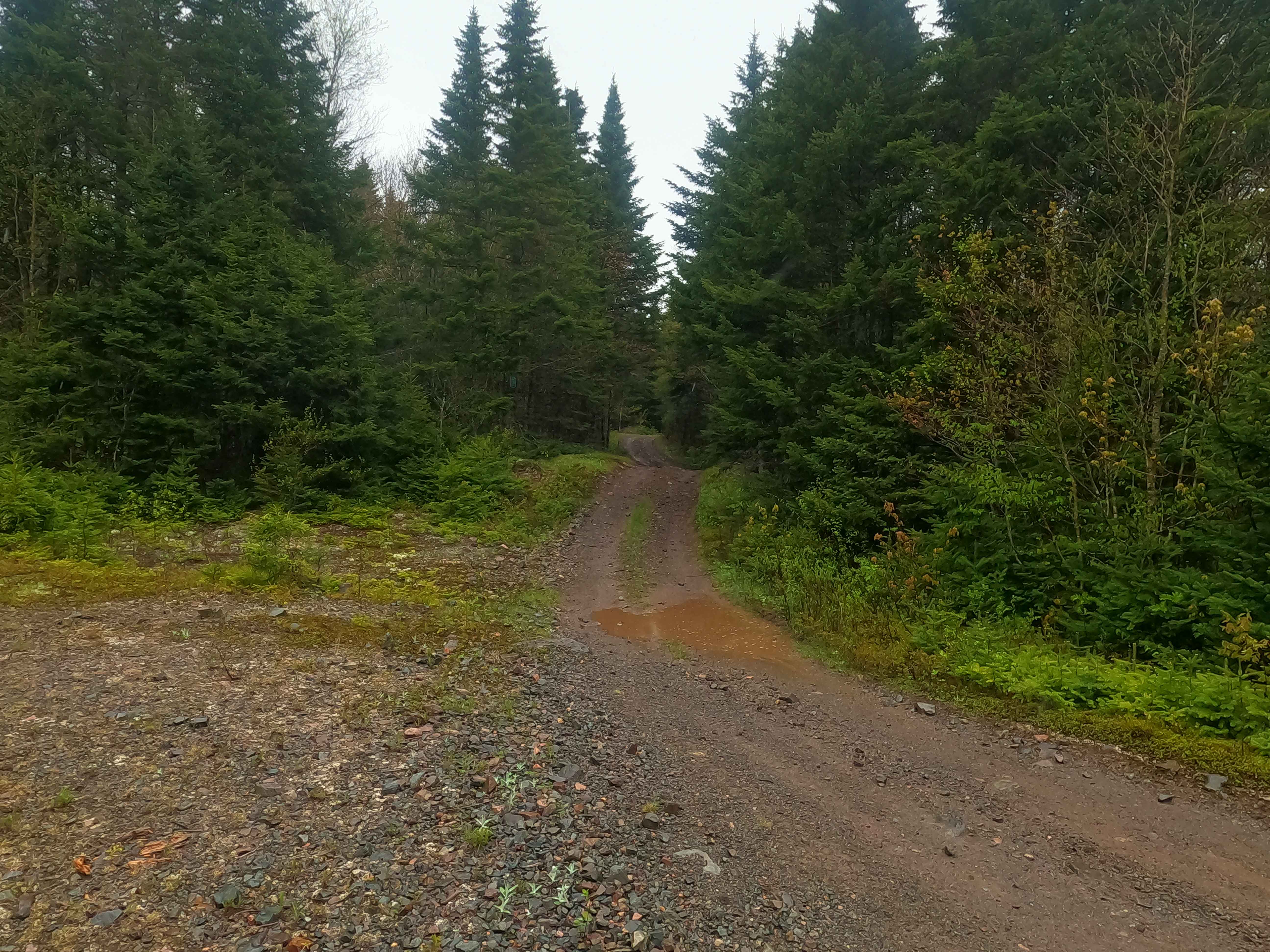
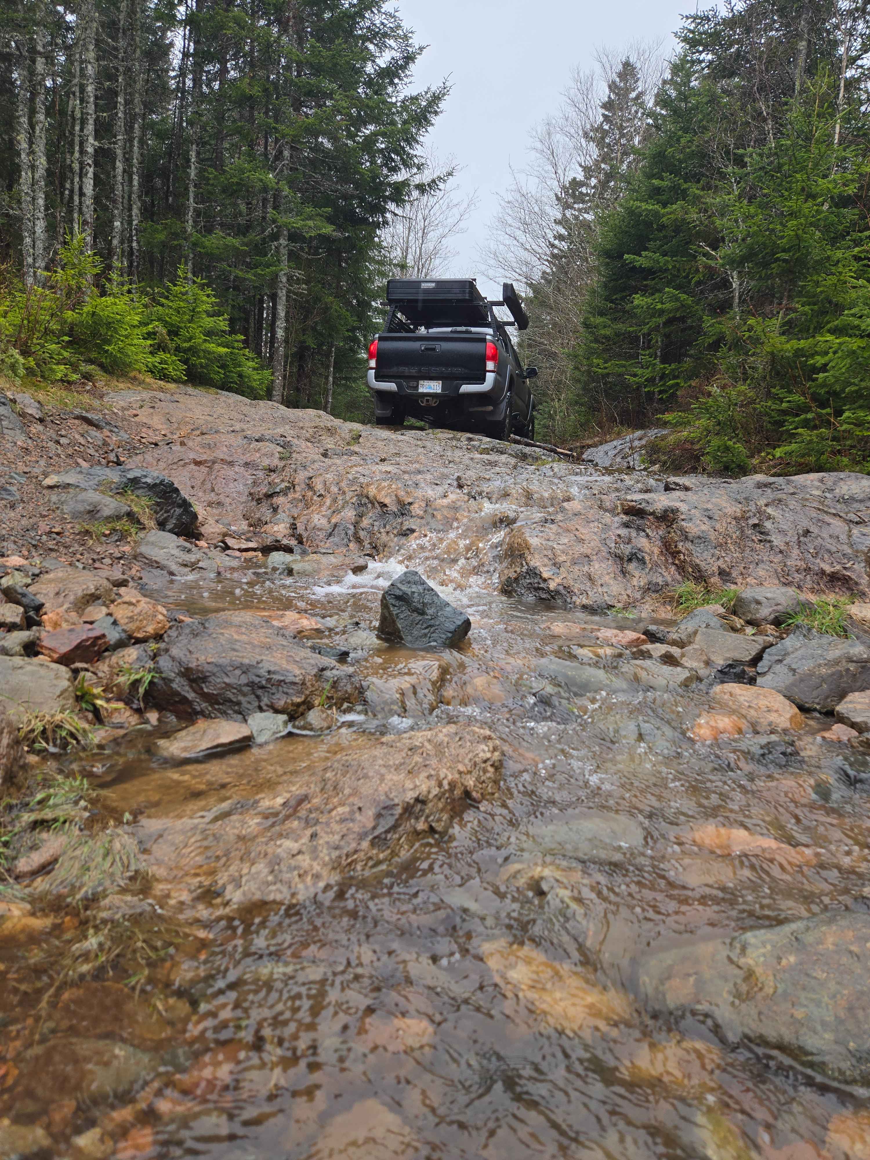
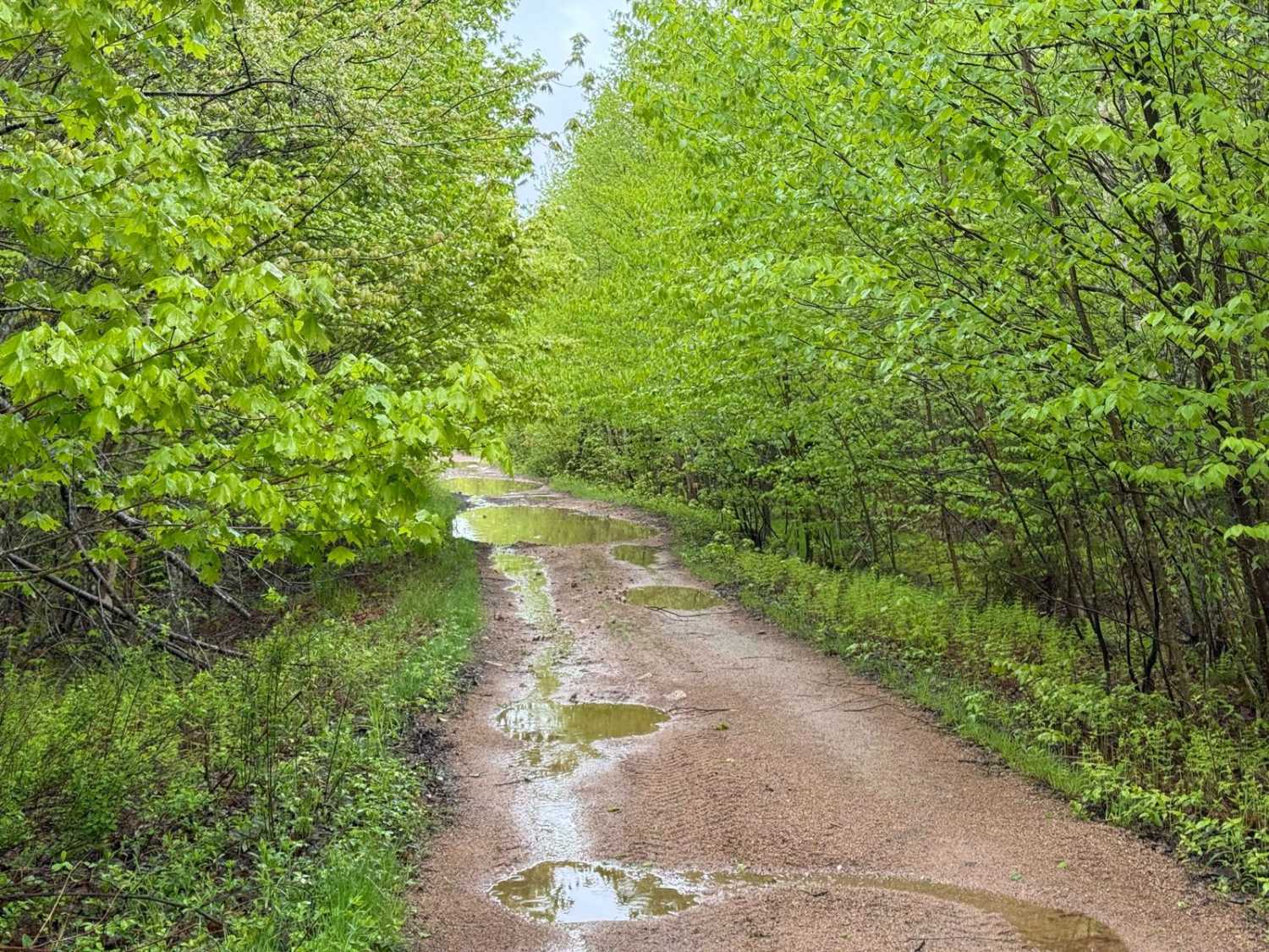
This Trail has three distinct sections: The northern 2.6 km of the King Lake Trail, which includes the scenic Dawson Falls, is situated on private property. This section is a partially maintained former logging road that is easily passable with any vehicle. However, the last stretch can get quite narrow, so you might end up with some pinstripes on your vehicle. Despite this, visiting Dawson Falls is highly recommended. From the northern starting point off Service Road HAN 101-01, it's a short 200-meter hike past the rock barrier after 600 meters on the trail. The southern 8.8 km of the King Lake Trail is an unmaintained old logging road on the former Bowater-Mersey Lands, now part of Nova Scotia Crown Land. This section consists of hard-packed dirt and rock, with many washed-out sections and obstacles. While it is likely passable without a high-clearance 4x4, having one would make navigating the washouts much easier. This section connects to the well-maintained Hiking Trail Road, providing access to the complete Mersey Trail system. The middle 300 meters of the King Lake Trail is where a high-clearance 4x4 is essential. This well-worn trail is wide enough for a midsize truck, but a full-size truck may struggle due to the narrow path. Large rocks and roots make this section challenging, requiring careful navigation. Having a spotter would be very helpful to guide you through these obstacles safely.
Photos of King Lake Trail

Difficulty
The 300m long difficult section is well used. Lots of rocks and ledges from the roots. A small climb and shallow puddles. Air down and drive carefully.
King Lake Trail can be accessed by the following ride types:
- High-Clearance 4x4
- SxS (60")
- ATV (50")
- Dirt Bike
King Lake Trail Map
Popular Trails
Farm Lake Trail

Ingramport Connector
Little Snare Lake Trail
Granite Lane Trail
The onX Offroad Difference
onX Offroad combines trail photos, descriptions, difficulty ratings, width restrictions, seasonality, and more in a user-friendly interface. Available on all devices, with offline access and full compatibility with CarPlay and Android Auto. Discover what you’re missing today!