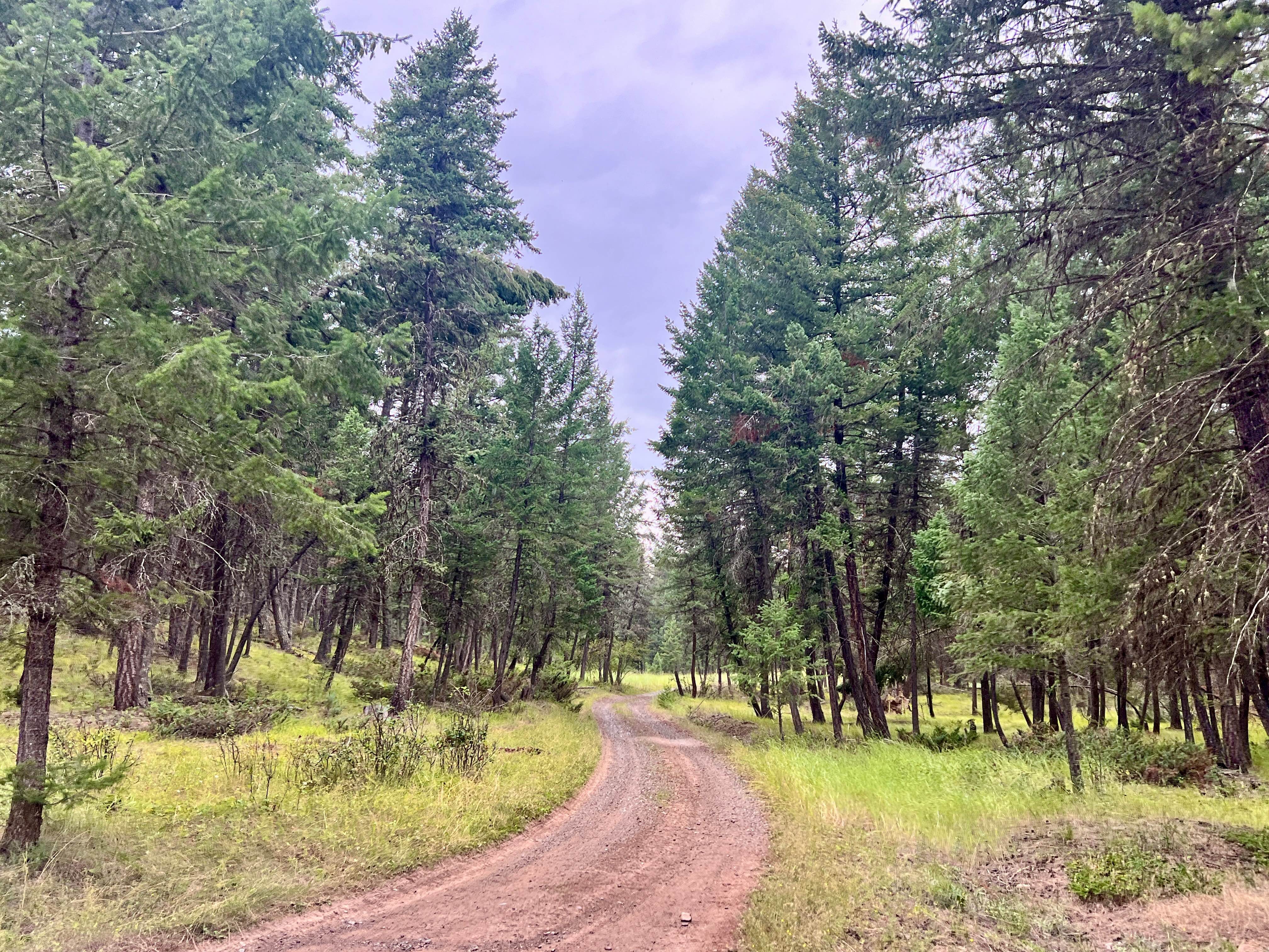
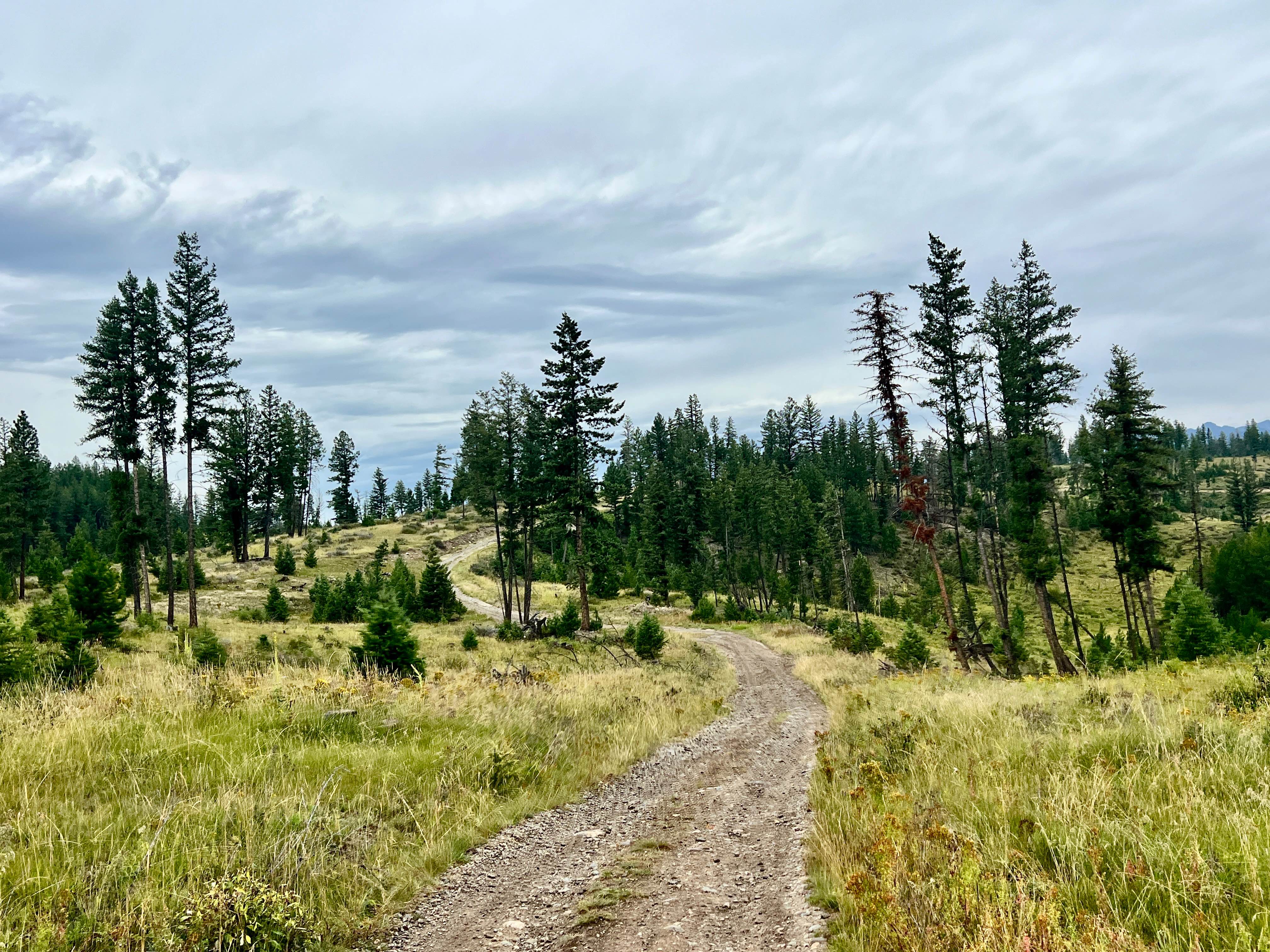
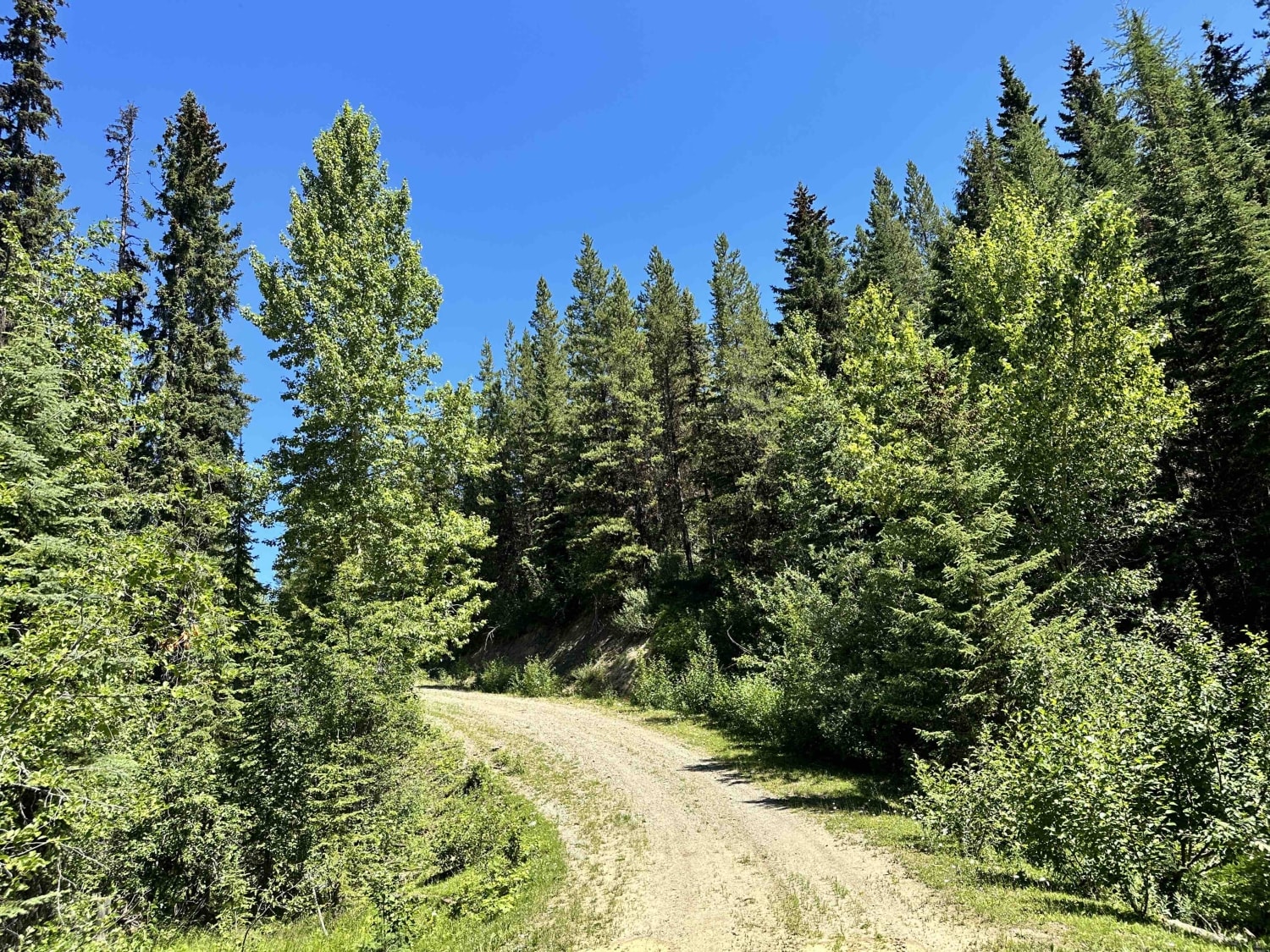
Off-Road Trails in British Columbia
Discover off-road trails in British Columbia
Learn more about Lindbom Lake Road
Lindbom Lake Road
Total Miles
2.4
Tech Rating
Easy
Best Time
Spring, Summer, Fall, Winter
Learn more about LinkLater Forest Service Road
LinkLater Forest Service Road
Total Miles
17.7
Tech Rating
Easy
Best Time
Summer
Learn more about Little Bear Bay
Little Bear Bay
Total Miles
10.6
Tech Rating
Easy
Best Time
Spring, Summer, Fall, Winter
Learn more about Loki Mountain Trail Head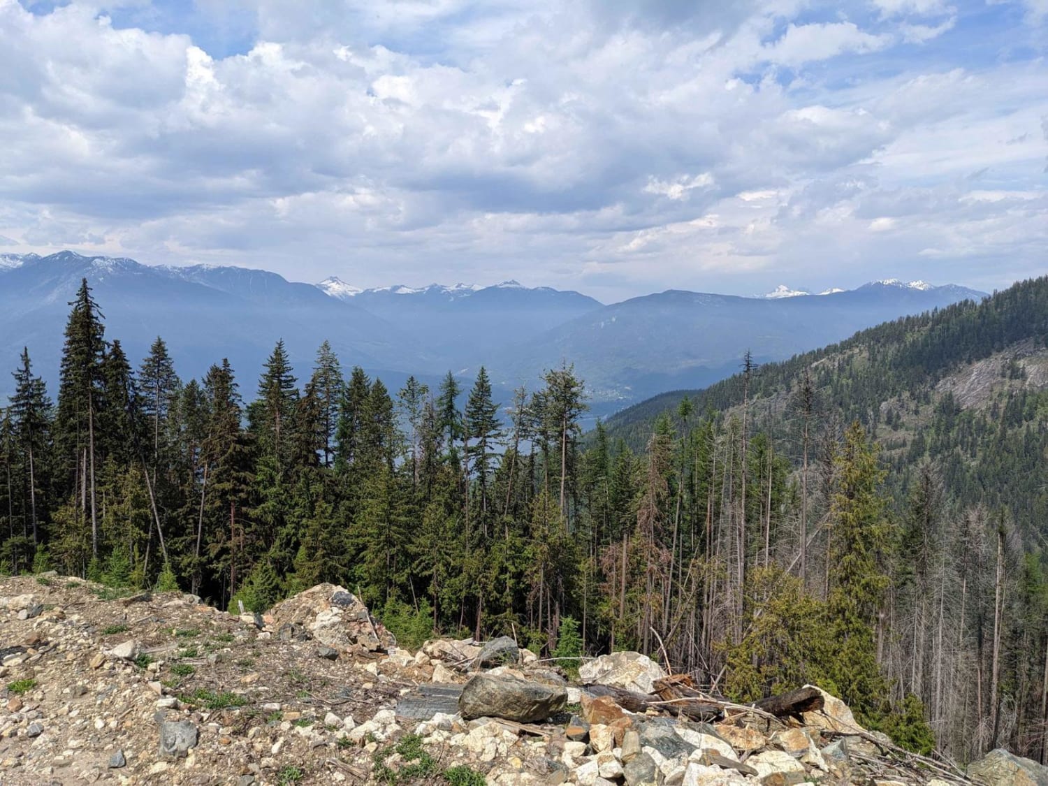
Loki Mountain Trail Head
Total Miles
6.7
Tech Rating
Easy
Best Time
Spring, Summer, Fall
Learn more about Lolo Heffley Connector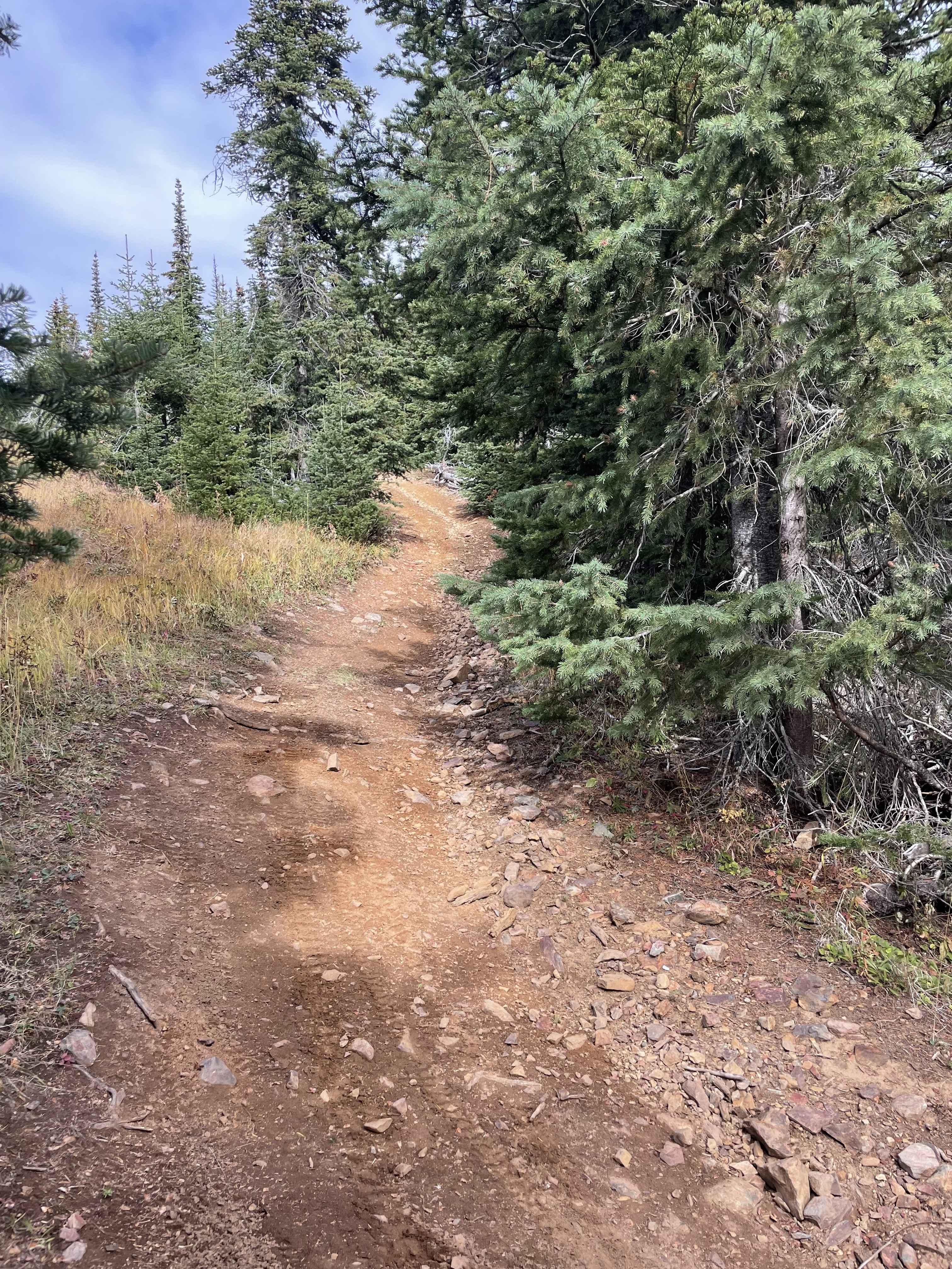
Lolo Heffley Connector
Total Miles
7.2
Tech Rating
Moderate
Best Time
Spring, Summer, Fall
Learn more about Lonely Doug 
Lonely Doug
Total Miles
7.1
Tech Rating
Moderate
Best Time
Spring, Summer, Fall, Winter
Learn more about Lonely Trees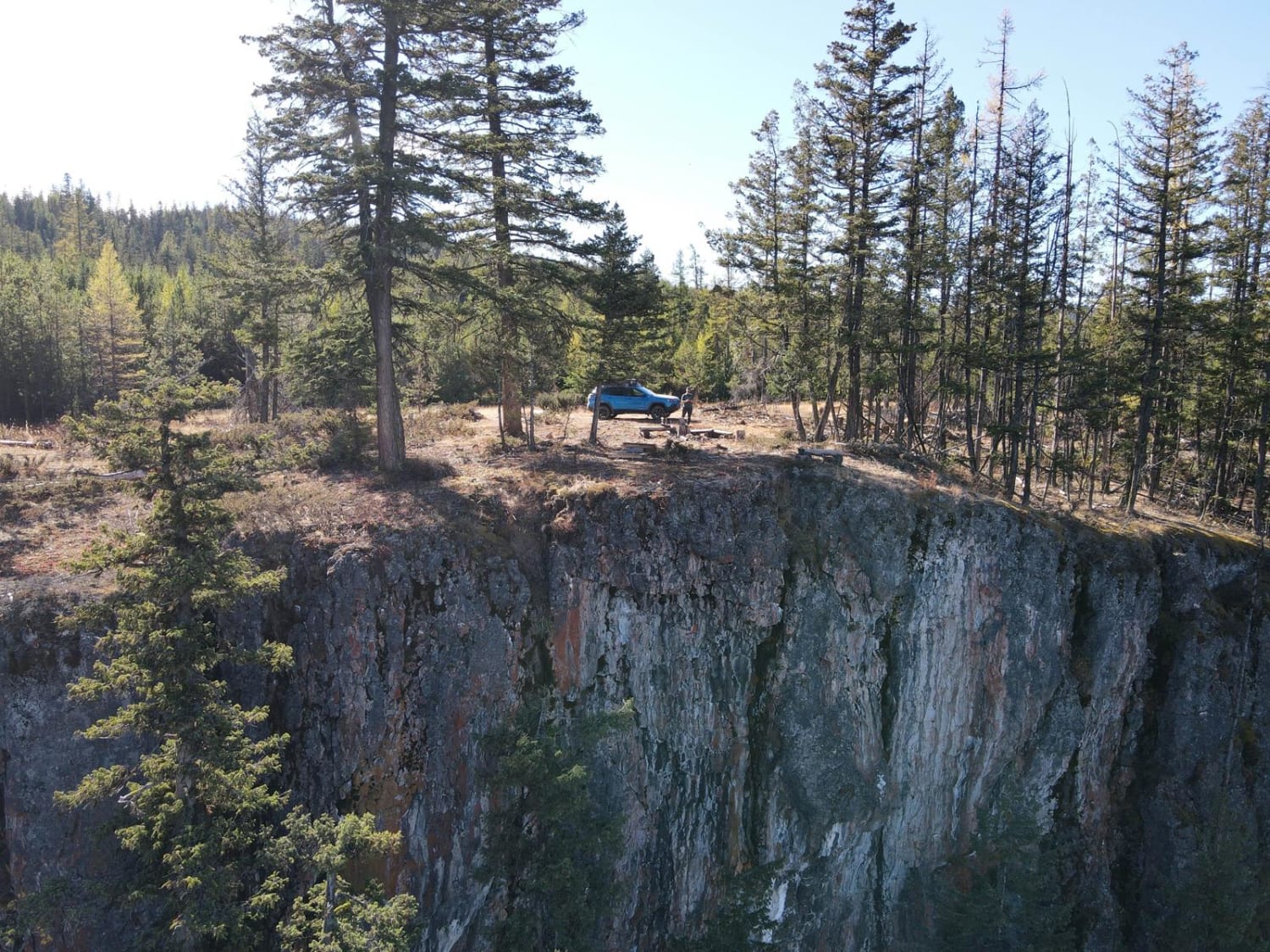
Lonely Trees
Total Miles
0.7
Tech Rating
Easy
Best Time
Spring, Summer, Fall, Winter
Learn more about Long Lake Road to McQueen/Isobel Lake Road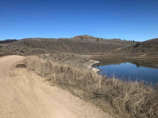
Long Lake Road to McQueen/Isobel Lake Road
Total Miles
10.5
Tech Rating
Moderate
Best Time
Spring, Summer, Fall
Learn more about Long Route to Bouleau Lake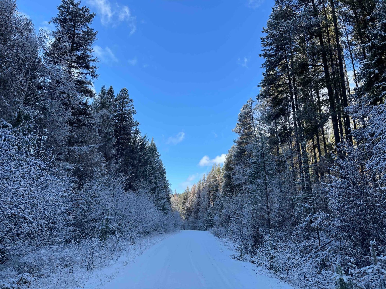
Long Route to Bouleau Lake
Total Miles
12.8
Tech Rating
Moderate
Best Time
Spring, Summer, Fall

Learn more about Loon Lake Recreation Area Trail
Loon Lake Recreation Area Trail
Total Miles
1.6
Tech Rating
Easy
Best Time
Fall, Summer, Spring
Learn more about Loop Road
Loop Road
Total Miles
4.0
Tech Rating
Moderate
Best Time
Spring, Summer, Fall, Winter
Learn more about Lost Airplane Ridge
Lost Airplane Ridge
Total Miles
25.2
Tech Rating
Moderate
Best Time
Summer, Fall
Learn more about Lower French Mine
Lower French Mine
Total Miles
1.2
Tech Rating
Easy
Best Time
Spring, Summer, Fall
Learn more about Lucid Lake 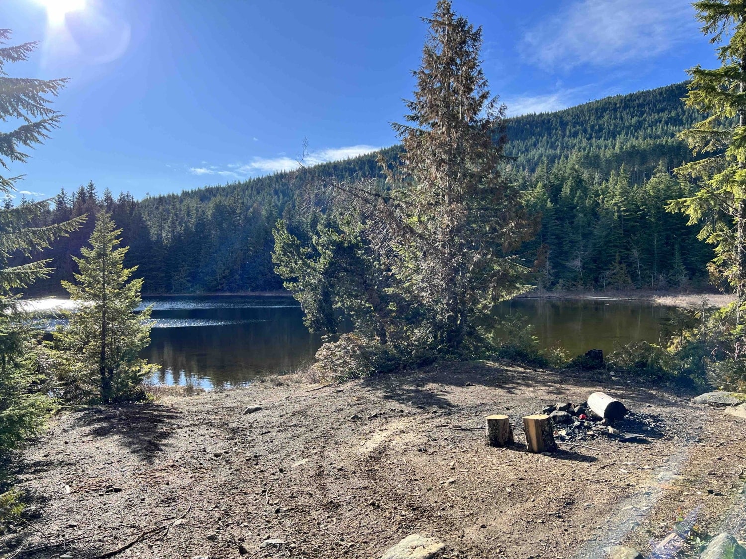
Lucid Lake
Total Miles
3.8
Tech Rating
Moderate
Best Time
Spring, Summer, Fall, Winter
Learn more about Mabel Lake FSR to Cottonwood Rec Site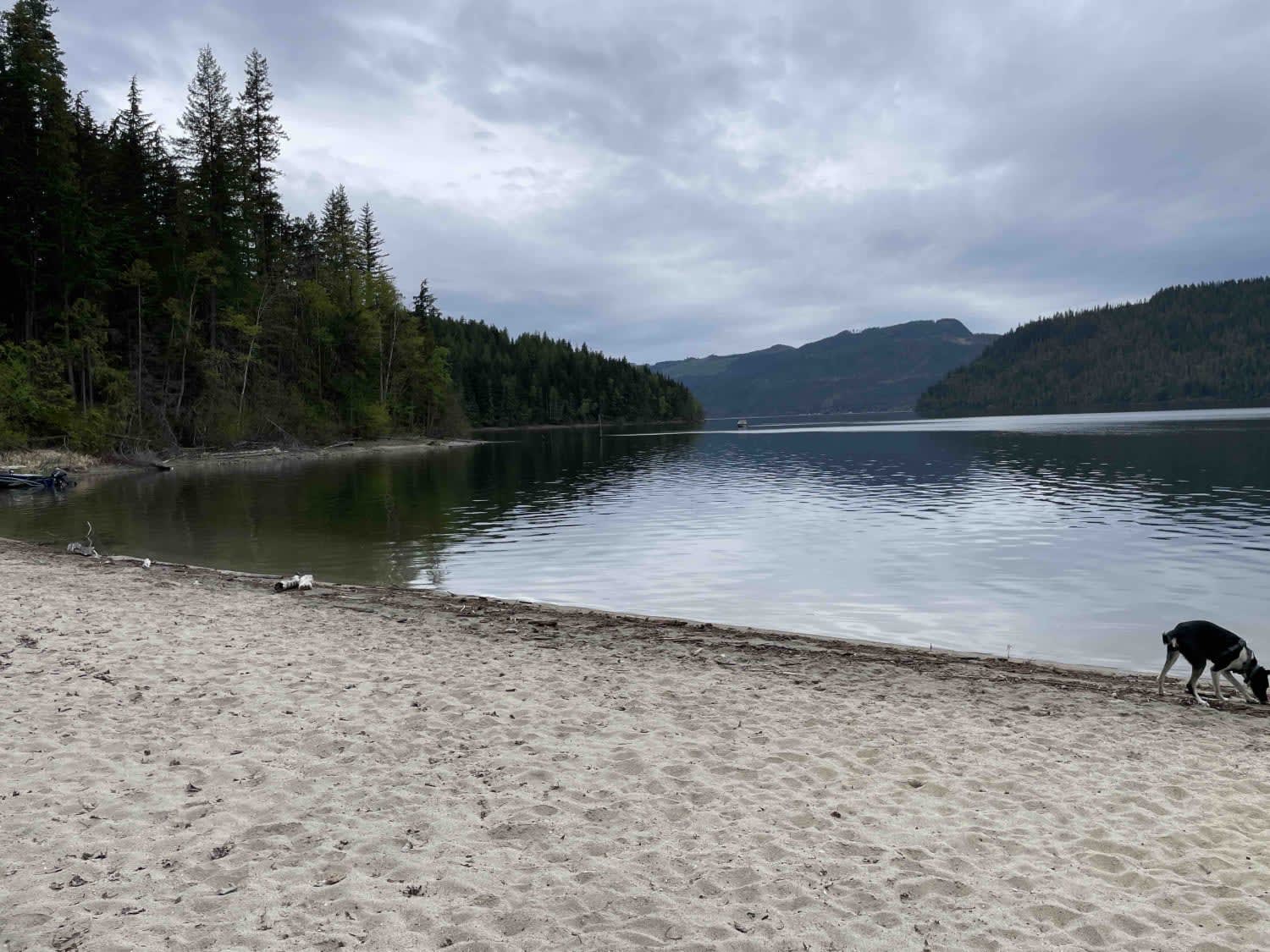
Mabel Lake FSR to Cottonwood Rec Site
Total Miles
13.8
Tech Rating
Easy
Best Time
Spring, Summer, Fall
ATV trails in British Columbia
Learn more about 155 Main 
155 Main
Total Miles
16.8
Tech Rating
Easy
Best Time
Spring, Summer, Fall, Winter
Learn more about 3 Valley Mabel Lake FSR Road to Kingfisher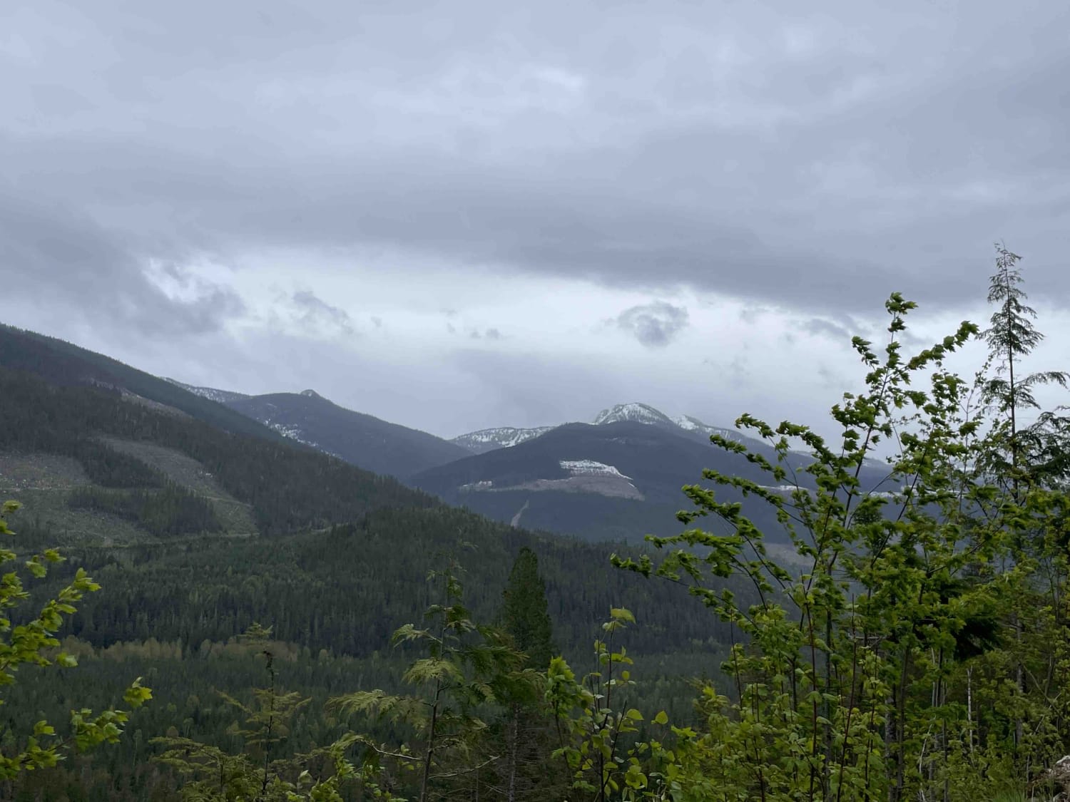
3 Valley Mabel Lake FSR Road to Kingfisher
Total Miles
22.3
Tech Rating
Moderate
Best Time
Spring, Summer, Fall
Learn more about 97C to Creighton Lake
97C to Creighton Lake
Total Miles
2.1
Tech Rating
Easy
Best Time
Summer, Fall
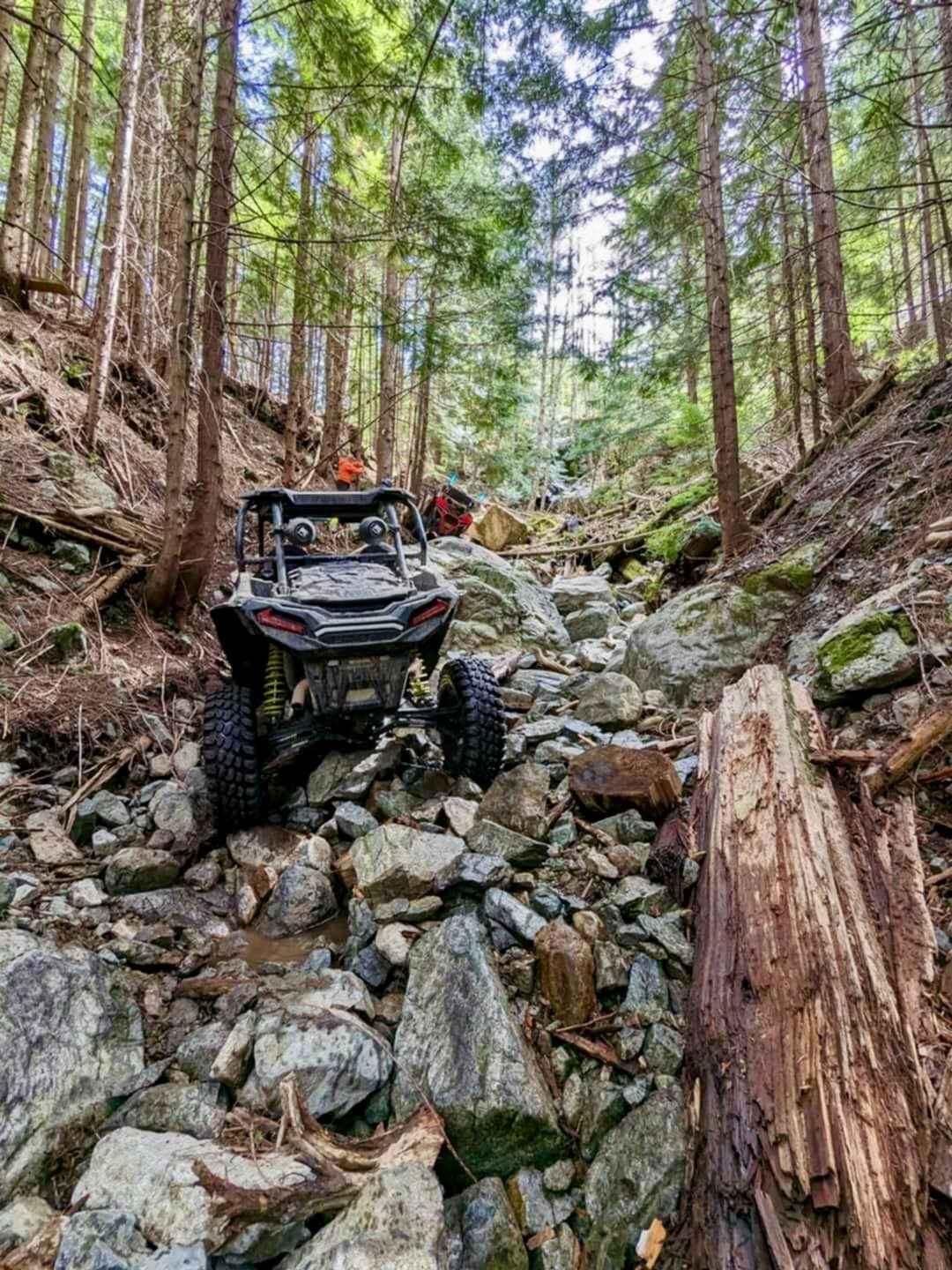
UTV/side-by-side trails in British Columbia
Learn more about 155 Main
155 Main
Total Miles
16.8
Tech Rating
Easy
Best Time
Spring, Summer, Fall, Winter
Learn more about 3 Valley Mabel Lake FSR Road to Kingfisher
3 Valley Mabel Lake FSR Road to Kingfisher
Total Miles
22.3
Tech Rating
Moderate
Best Time
Spring, Summer, Fall
Learn more about 97C to Creighton Lake
97C to Creighton Lake
Total Miles
2.1
Tech Rating
Easy
Best Time
Summer, Fall
The onX Offroad Difference
onX Offroad combines trail photos, descriptions, difficulty ratings, width restrictions, seasonality, and more in a user-friendly interface. Available on all devices, with offline access and full compatibility with CarPlay and Android Auto. Discover what you’re missing today!