
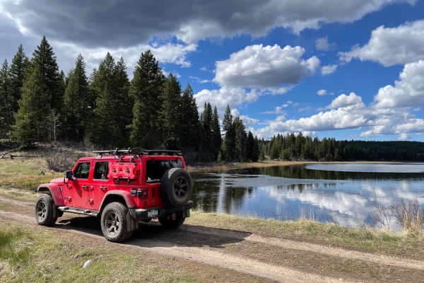
Off-Road Trails in British Columbia
Discover off-road trails in British Columbia
Off-Road Trails in British Columbia
Discover the best off-road trails in British Columbia. Browse trail maps, check difficulty ratings, and find your next adventure — whether you're looking for a quick ride or an all-day expedition.
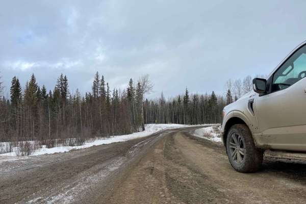
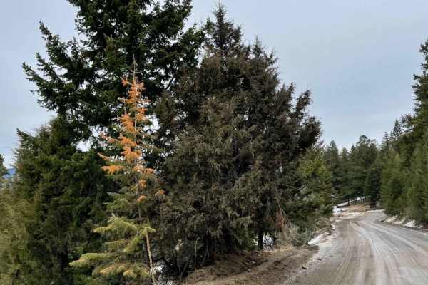
Ice Bridge Road
Ice Bridge Road is a gravel/silt/muddy backroad route where you can travel from Chetwynd BC to the southside of Fort St. John. Predominantly used for oil and gas access with numerous fracking and well sites in the region. Entire area is also utilized for Offroading, ATV's, and Hunting (Elk, Moose an...
Learn more about Ice Bridge Road
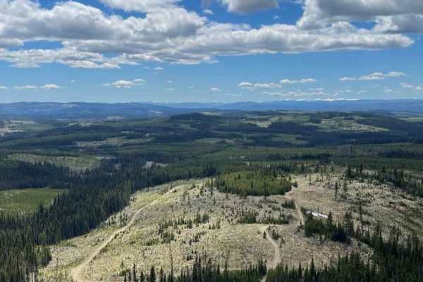
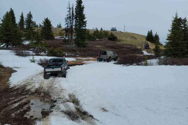
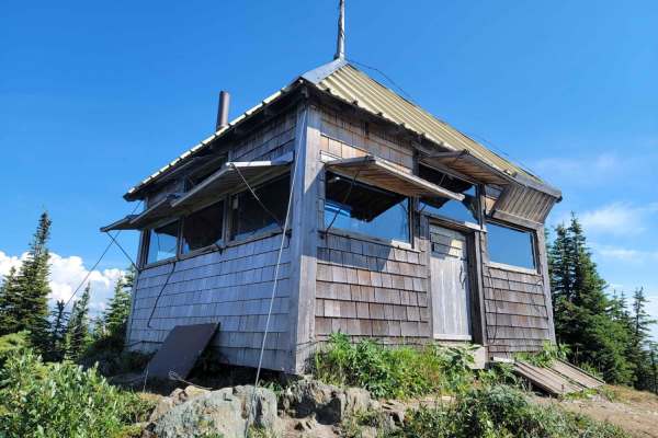
Rim Trail to Greenstone Lookout
This decently maintained gravel road will take you up to the beautiful views at Greenstone Mountain Fire Lookout among many other offroad and multi-user recreational trails throughout the area. The lower section will have more traffic as there are a number of downhill mountain biking trails in the a...
Learn more about Rim Trail to Greenstone Lookout
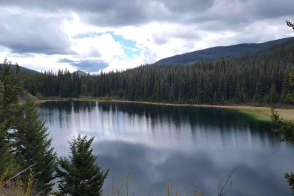
Around Aberdeen on Curtis Lake FSR
Decent Forest Service Road that is a little narrower than the main FSR. There are great views of Aberdeen Lake as you are above the lake at about 1300 meters. A few areas where trees were down from the snow. Continue along to connect to the Grizzly FSR. Make sure you use your HAM radio to call out K...
Learn more about Around Aberdeen on Curtis Lake FSR
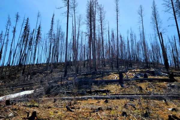
Ingram Creek FSR
This is a great Forest Service road with lots of off-shoot trails to explore. The road is gravel with muddy and rutted spots, especially after spring melt. There are some great views along the way and plenty of traffic. These roads are active with logging trucks during the week, so be prepared for f...
Learn more about Ingram Creek FSR
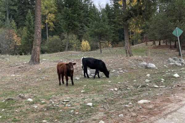
Robbin Range Road
Robbin Range road navigates you through beautiful forests as well as a number of ranch lands. Multiple trails spur off the main roads but you can end up at a dead end due to fences and private properties in the area. You are able to enter from one side and loop all the way through and come out in an...
Learn more about Robbin Range Road
Blue Earth Lake
Take a great day trip or a stop on an Overlanding adventure, a scenic drive from desert climate to alpine, with many small lakes and great views. Small patches of old-growth Douglas fir and some mature aspen are overlooked by the majestic Pavilion Mountains. This is a narrow trail in spots and pinst...
Learn more about Blue Earth Lake
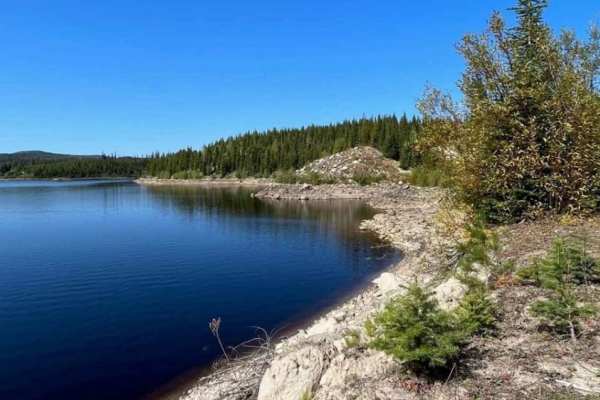
Oyama Lake FSR
Oyama Lake FRS continues on from King Edward Lake. This route connects to the Oyama Lake trail that is already identified on the map. There are a number of lakes and recreational sites where there are small camping spots. On this route, you can access numerous flat camping areas alongside the route....
Learn more about Oyama Lake FSR
Cottonwood Rec to Kingfisher FSR
Pretty well-maintained Forest Service Road road along Mable Lake. Lots of off shoot FSR roads to explore as well. Some areas are deeply rutted from vehicle travel during snow melt. Some beautiful views of the lake and across to the other side. Active logging road so you should be calling out your KM...
Learn more about Cottonwood Rec to Kingfisher FSR
Jimmy Lake to Sawmill Lake
This is a well-maintained gravel/dirt road with soft and rutted areas due to spring snowmelt. There are many side trails to go back to and explore. Sawmill Lake is a cool lake that you drive into the middle of on a dike/jetty. There is minimal traffic with other off-roaders.
Learn more about Jimmy Lake to Sawmill Lake
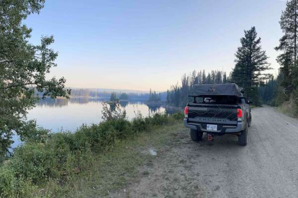
Summer Lake
Summer Lakes is an amazing lake hidden behind Mount Fisher. Summer Lake has a free public recreation site with camping areas. You will need to bring a VHF Radio as the roads are narrow in sections and you must call depending on the instructions posted by the logging services at the start. Following ...
Learn more about Summer Lake
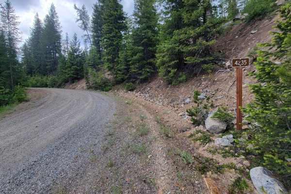
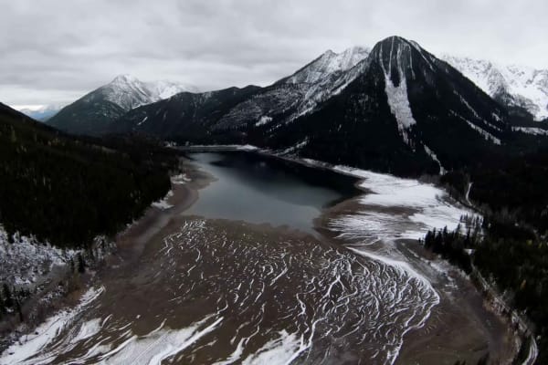
NF 4235 - Starvation Mountain
Turning North off of Forest Road 42, this trail weaves and winds its way upward into the Okanogan National Forest. The trail begins as a nice wide road but the higher up the mountainside, the more narrow it becomes. Water erosion and runoff were noted on the trail during rainy/wet conditions. Aside ...
Learn more about NF 4235 - Starvation Mountain
Bear Lake Road to Esperson Lake
Bear Lake is a mainline that has numerous routes where people can get out and explore. Just off the mainline, there is a Recreational trail system called Bear Lake OHV which you need to pay a membership fee to use. Beyond the paid trail riding there are a ton of lakes and hiking trails all over. ...
Learn more about Bear Lake Road to Esperson Lake
Cornwall Fire Lookout
Cornwall Fire Lookout is a mostly easy trail with scenic views of BC's Coastal Region Mountain Range. The majority of the driving follows through beautiful grass meadows. At the summit Cornwall Fire Lookout provides spectacular views. This lookout is maintained by the Four Wheel Drive Association of...
Learn more about Cornwall Fire Lookout
Sheepy Crawly
Sheepy Crawly is a moderately challenging trail with steep hill climbs, off-camber sections, washouts, rock sections, and deep ruts. There is an alternate route that bypasses the difficult sections, a gentle sweeping switchback trail that crosses the difficult trail multiple times. If the difficult ...
Learn more about Sheepy Crawly
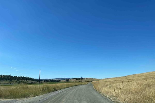
Douglas Lake Road
This route is a cut-through route from Vernon to Merritt or Kamloops. Lots of small lakes along the route with some fishing resorts. However, be careful as there are sensitive private ranch lands throughout that you require permission to enter. Stay on the main route and only access routes that a...
Learn more about Douglas Lake Road
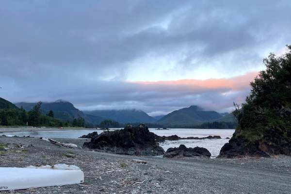
Side Bay from Port Alice
There are 76 kilometers of Forest Service roads from Port Alice to Side Bay on the West coast of Vancouver Island. The road is mixed gravel and dirt with varying conditions along the way. Conditions range from well-maintained gravel to loose rock on some of the climbs. Some areas near Side Bay look ...
Learn more about Side Bay from Port Alice
Not The 1st of July
This is a fun road over the mountain from Beaverdell, BC, to the Christian Valley and Kettle River. Lots of epic views and really cool in the fall with all the changing leaves. The road is pretty basic for the most part and is a well-maintained logging road. There are some narrow sections and steep ...
Learn more about Not The 1st of July
Harris Creek to Summit
Scenic trail that starts at lower elevations along Harris creek, trail rises in elevation to 5,000 ft trail runs along a ridge at the top with scenic views of the valley below, side trail off of main trail is a fun trail that requires high clearance due to deactivations, with a moderate hill climb. ...
Learn more about Harris Creek to Summit
Keefer Lake Lodge
Route to the Keefer Lake lodge is well established and accessible with any vehicle. Some small potholes and bumps along the way but overall the road is in good condition, wide enough for 2 vehicles side by side and well maintained. There are a number of off-shoots that you can take to explore beside...
Learn more about Keefer Lake Lodge
Greenstone Mtn Lookout to Tunkwa Lake Rd
Pretty basic FSR roads with some tighter areas when you approach Roper Lake. Some great views of the coastal mountains along the way. Most of the road can be completed with a stock 4 wheel drive vehicle. Great place to see wild life, we saw some bears and a marmot.
Learn more about Greenstone Mtn Lookout to Tunkwa Lake Rd
ATV trails in British Columbia
Explore ATV-friendly trails in British Columbia. These trails are accessible for vehicles up to 50 inches wide, perfect for ATVs and smaller off-road machines.
Ice Bridge Road
Ice Bridge Road is a gravel/silt/muddy backroad route where you can travel from Chetwynd BC to the southside of Fort St. John. Predominantly used for oil and gas access with numerous fracking and well sites in the region. Entire area is also utilized for Offroading, ATV's, and Hunting (Elk, Moose an...
Learn more about Ice Bridge Road
Around Aberdeen on Curtis Lake FSR
Decent Forest Service Road that is a little narrower than the main FSR. There are great views of Aberdeen Lake as you are above the lake at about 1300 meters. A few areas where trees were down from the snow. Continue along to connect to the Grizzly FSR. Make sure you use your HAM radio to call out K...
Learn more about Around Aberdeen on Curtis Lake FSR
Ingram Creek FSR
This is a great Forest Service road with lots of off-shoot trails to explore. The road is gravel with muddy and rutted spots, especially after spring melt. There are some great views along the way and plenty of traffic. These roads are active with logging trucks during the week, so be prepared for f...
Learn more about Ingram Creek FSR
Robbin Range Road
Robbin Range road navigates you through beautiful forests as well as a number of ranch lands. Multiple trails spur off the main roads but you can end up at a dead end due to fences and private properties in the area. You are able to enter from one side and loop all the way through and come out in an...
Learn more about Robbin Range Road
UTV/side-by-side trails in British Columbia
Find UTV and side-by-side trails in British Columbia. These trails accommodate vehicles up to 60 inches wide, ideal for UTVs, side-by-sides, and wider off-road rigs.
Ice Bridge Road
Ice Bridge Road is a gravel/silt/muddy backroad route where you can travel from Chetwynd BC to the southside of Fort St. John. Predominantly used for oil and gas access with numerous fracking and well sites in the region. Entire area is also utilized for Offroading, ATV's, and Hunting (Elk, Moose an...
Learn more about Ice Bridge Road
Around Aberdeen on Curtis Lake FSR
Decent Forest Service Road that is a little narrower than the main FSR. There are great views of Aberdeen Lake as you are above the lake at about 1300 meters. A few areas where trees were down from the snow. Continue along to connect to the Grizzly FSR. Make sure you use your HAM radio to call out K...
Learn more about Around Aberdeen on Curtis Lake FSR
Ingram Creek FSR
This is a great Forest Service road with lots of off-shoot trails to explore. The road is gravel with muddy and rutted spots, especially after spring melt. There are some great views along the way and plenty of traffic. These roads are active with logging trucks during the week, so be prepared for f...
Learn more about Ingram Creek FSR
Robbin Range Road
Robbin Range road navigates you through beautiful forests as well as a number of ranch lands. Multiple trails spur off the main roads but you can end up at a dead end due to fences and private properties in the area. You are able to enter from one side and loop all the way through and come out in an...
Learn more about Robbin Range Road
The onX Offroad Difference
onX Offroad combines trail photos, descriptions, difficulty ratings, width restrictions, seasonality, and more in a user-friendly interface. Available on all devices, with offline access and full compatibility with CarPlay and Android Auto. Discover what you're missing today!
Open Trail Map