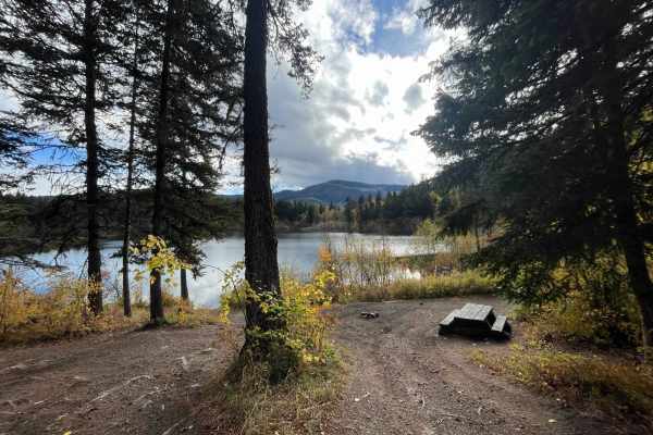
Trail Overview
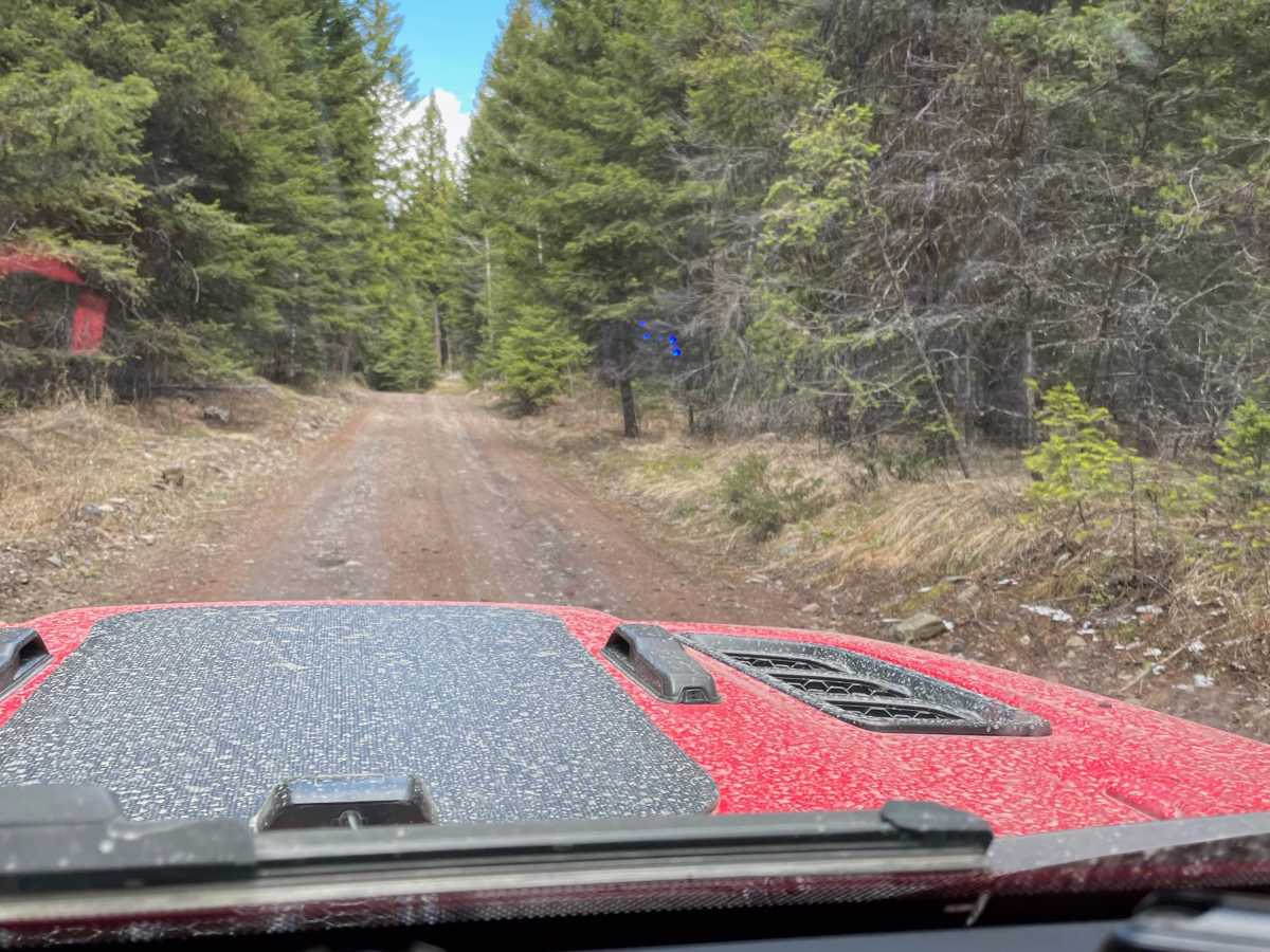
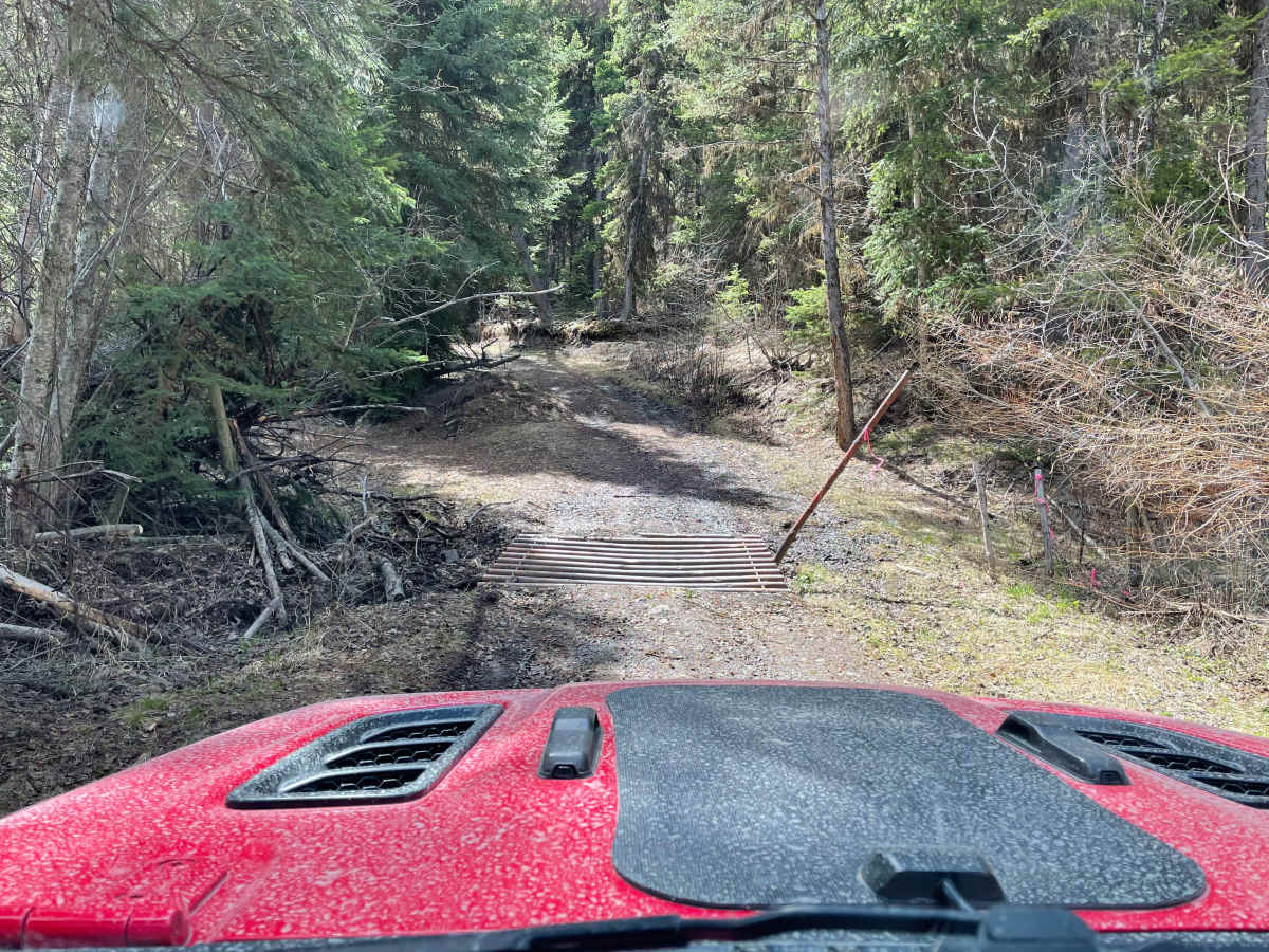
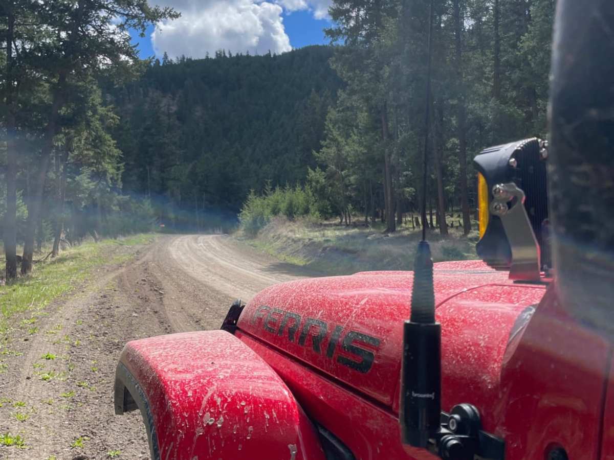
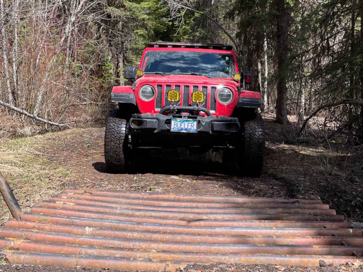
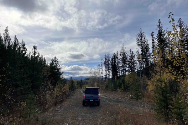
Ingram Creek Forest Service Road (FSR) is an ideal destination for scenic explorers and beginner offroaders seeking a straightforward drive with access to numerous off-shoot trails in the Westwold area. Stretching approximately 11.5 miles through the rolling terrain of British Columbia, this gravel and dirt route climbs from an elevation of 2,018 feet up to 3,830 feet. The trail begins off Highway 97 near Westwold, winding its way southeast into the forested hills.
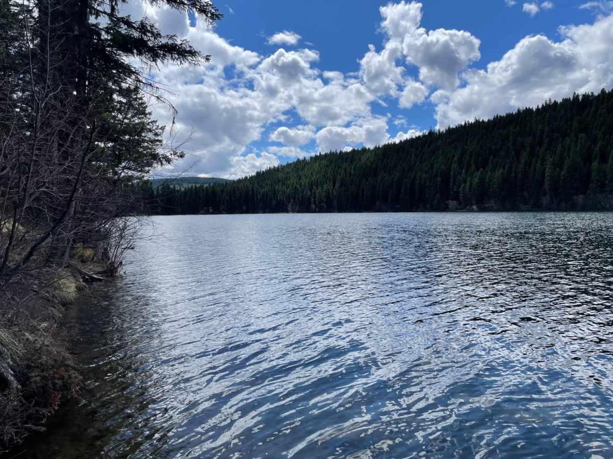
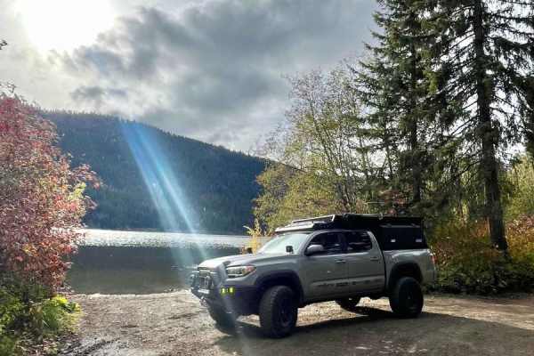
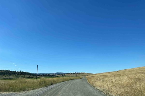
With a technical difficulty rating of 2, the primary surface consists of well-traveled gravel that remains highly accessible. Because this is an active logging corridor, visitors should be highly alert for fast-moving logging trucks during weekdays, as these heavy rigs require significant stopping distance. Numerous spur trails branch off the main FSR, offering ample opportunities for further exploration, while the proximity to Pinaus Lake provides excellent options for camping, fishing, and hiking nearby.
Access Description
This route is an active logging corridor; visitors must yield to fast-moving logging trucks during weekdays. Spring snowmelt can create deep mud and ruts, making late spring through fall the optimal time to travel.