Side Bay from Port Alice

Total Miles47.1
Technical Rating
3Easy
Best TimeWinter, Fall, Summer, Spring
Trail TypeFull-Width Road
Accessible By
Open Trail Map

Trail Overview

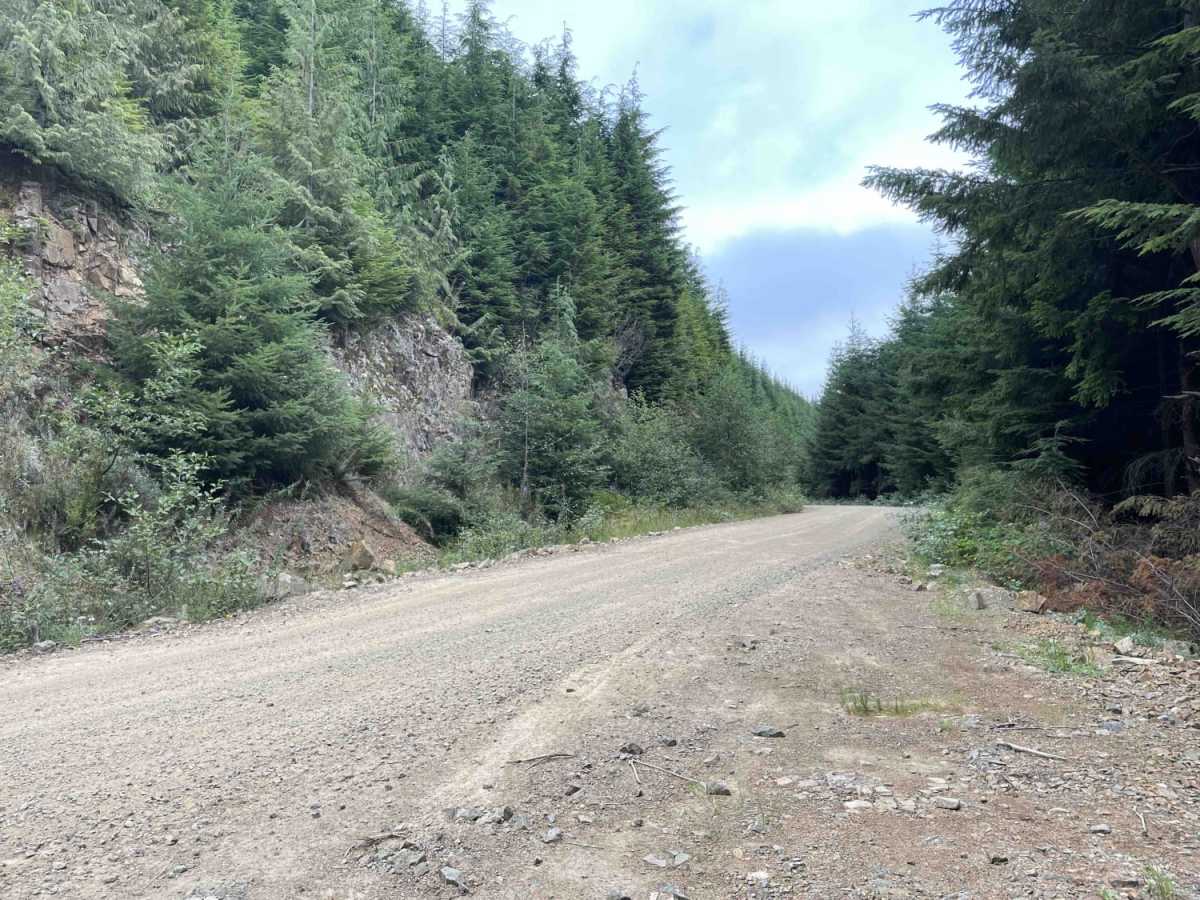
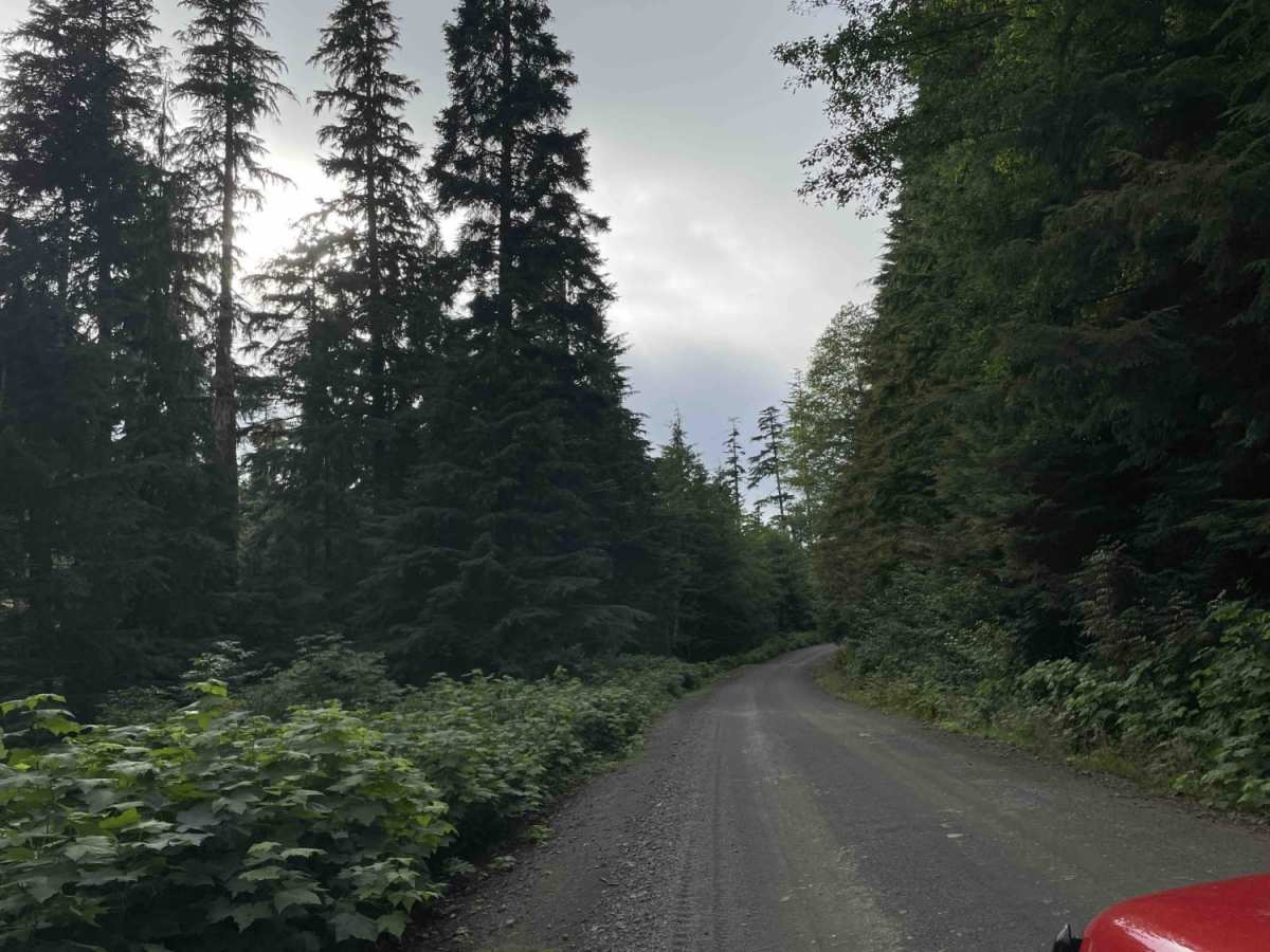
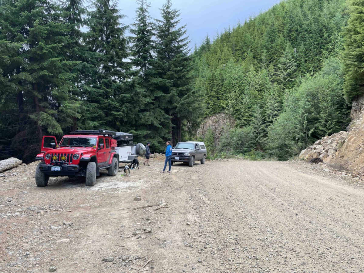
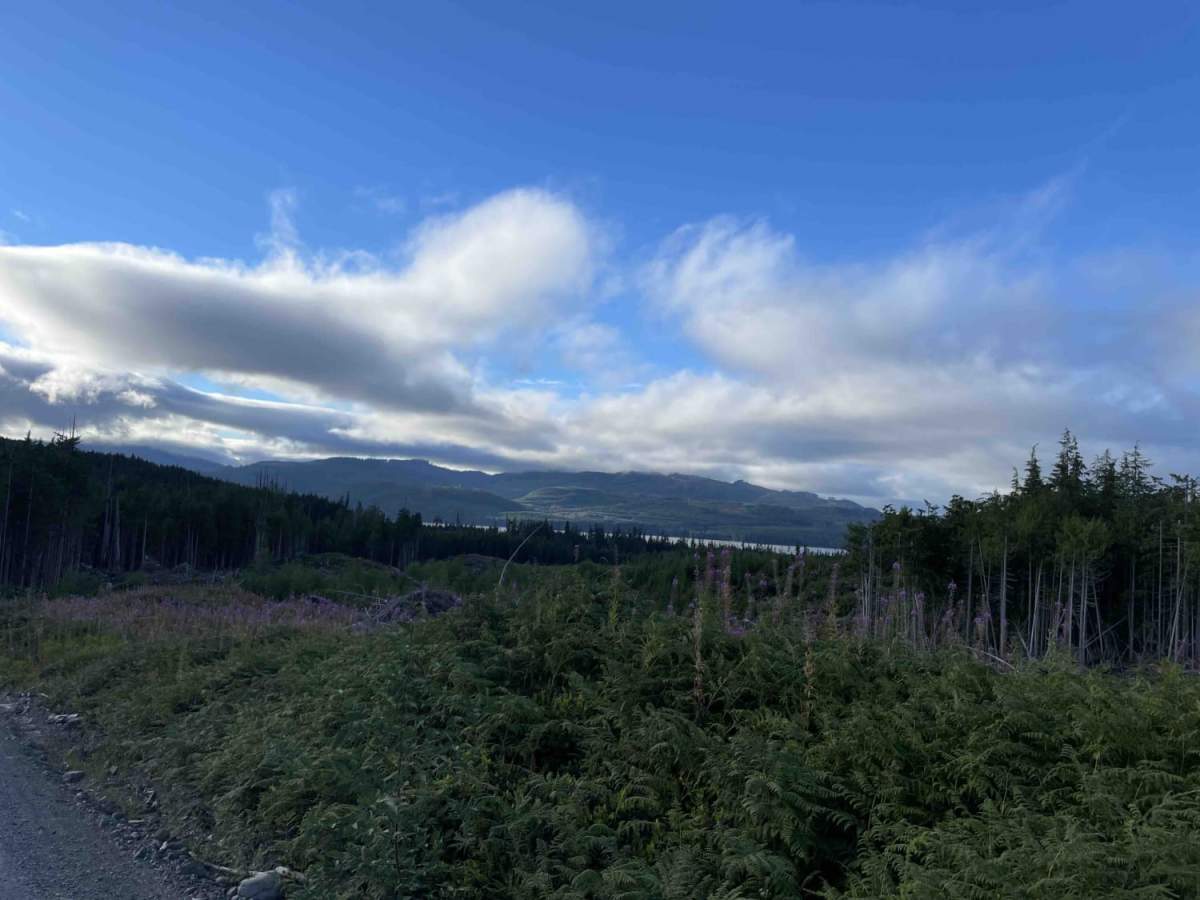
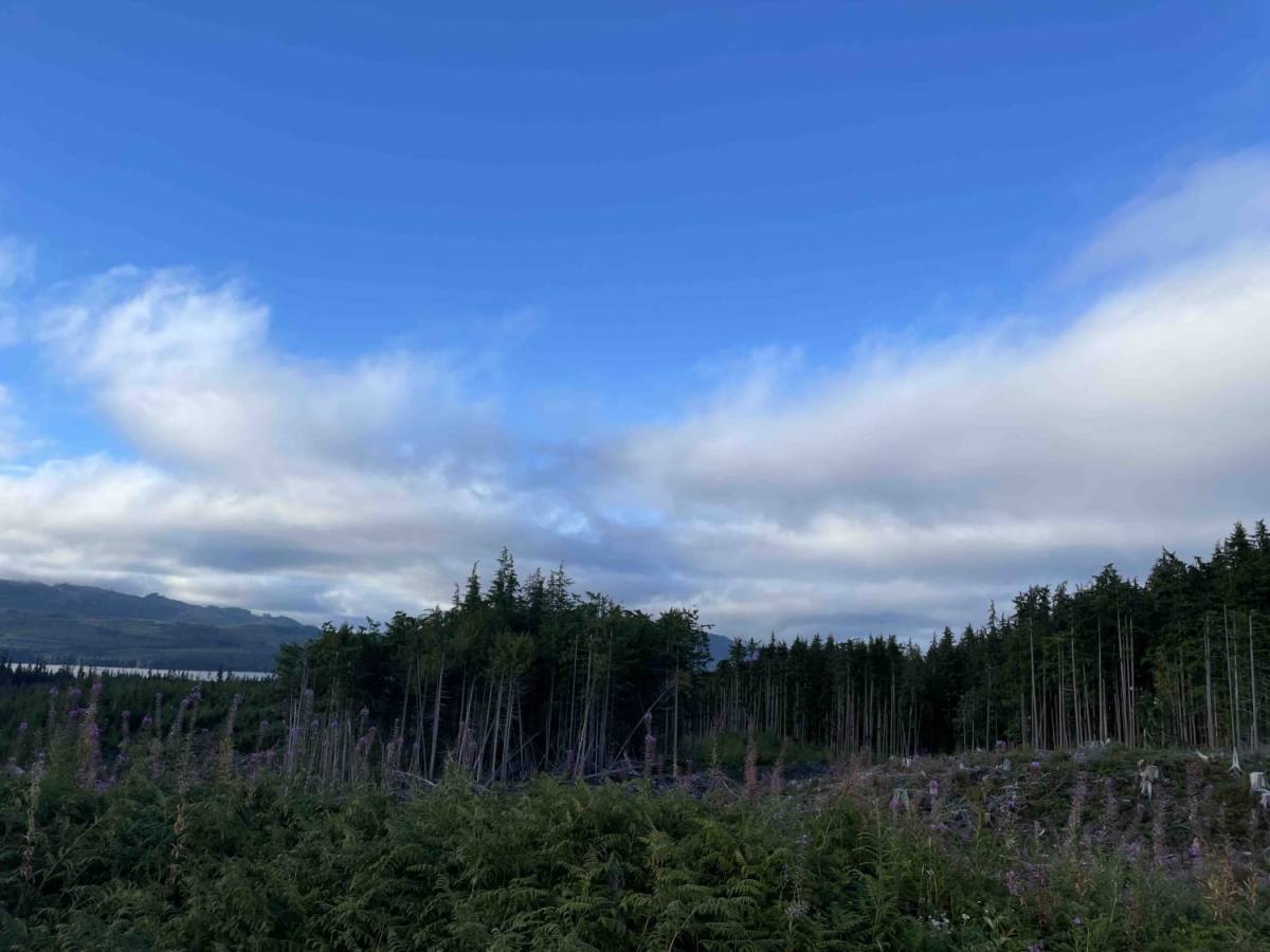
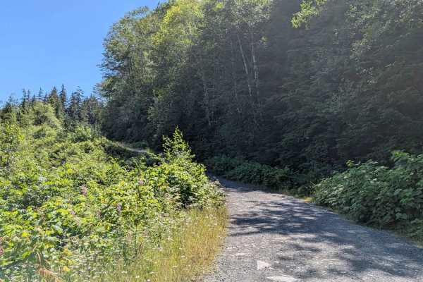
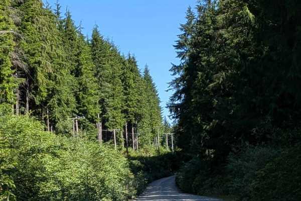
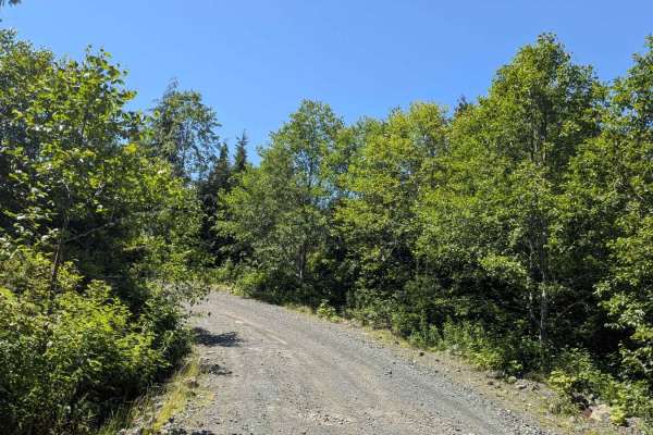
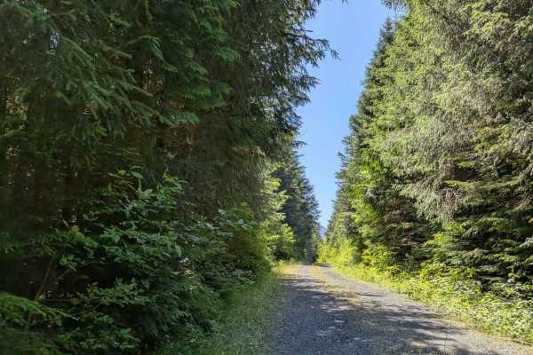
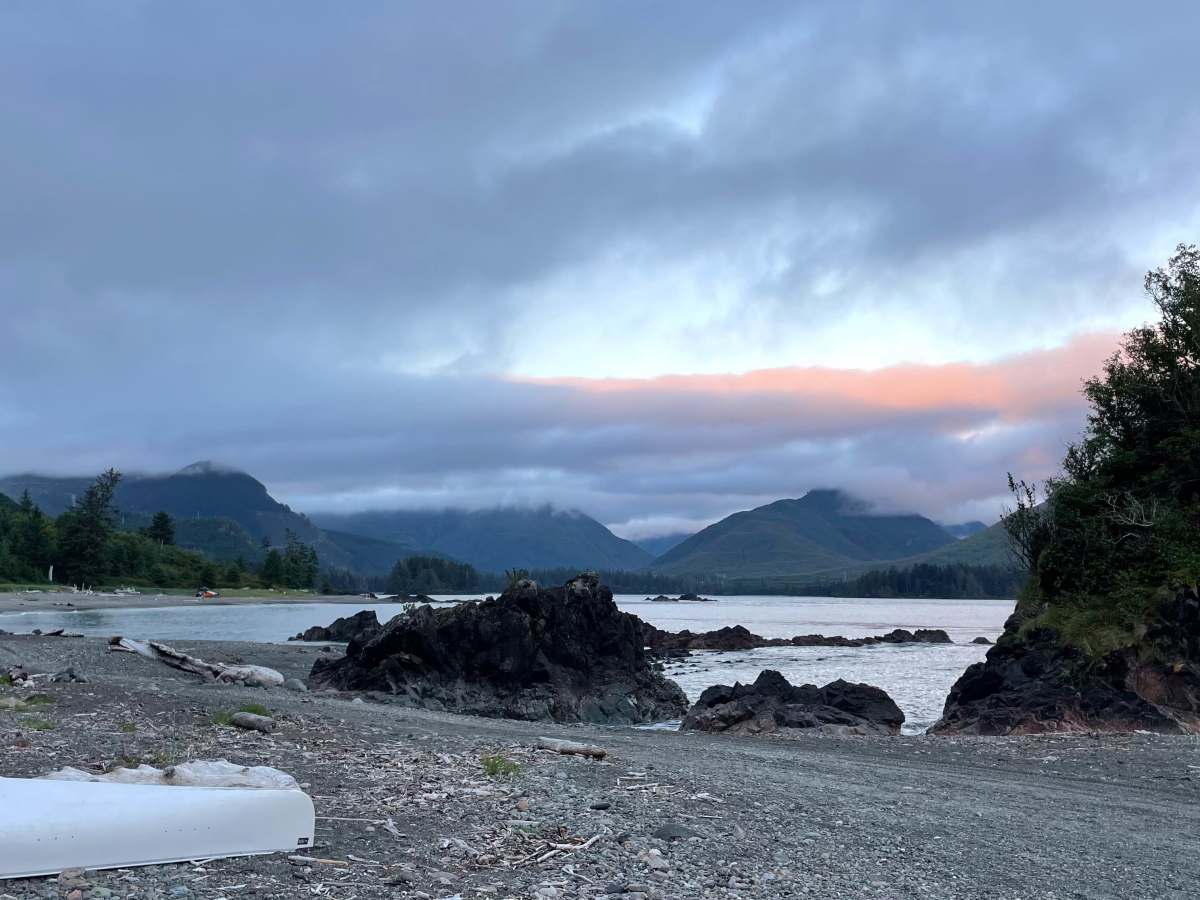
There are 76 kilometers of Forest Service roads from Port Alice to Side Bay on the West coast of Vancouver Island. The road is mixed gravel and dirt with varying conditions along the way. Conditions range from well-maintained gravel to loose rock on some of the climbs. Some areas near Side Bay look like they recently had some washouts but have all been repaired. There are some amazing views along the way. This is an active logging road with lots of big logging trucks going fast! Use a radio to call out your KM and stay on your side of the trail.

Photos of Side Bay from Port Alice

Difficulty

This is doable in 2wd. The biggest challenges are on some of the steep climbs that have lose gravel and rocks.

Technical Rating

3

Side Bay from Port Alice Trail can be accessed by the following ride types:

  • Single Track
  • 50 Inch
  • 60 Inch
  • High Clearance
  • Full Width

Side Bay from Port Alice Map

The onX Offroad Difference

onX Offroad combines trail photos, descriptions, difficulty ratings, width restrictions, seasonality, and more in a user-friendly interface. Available on all devices, with offline access and full compatibility with CarPlay and Android Auto. Discover what you're missing today!

Open Trail Map