South East Main

Total Miles4.3
Technical Rating
1Easy
Best TimeFall, Summer, Spring
Trail TypeFull-Width Road
Accessible By
Open Trail Map

Trail Overview

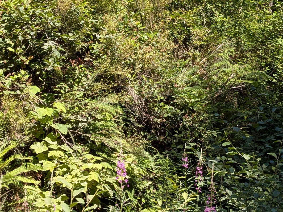
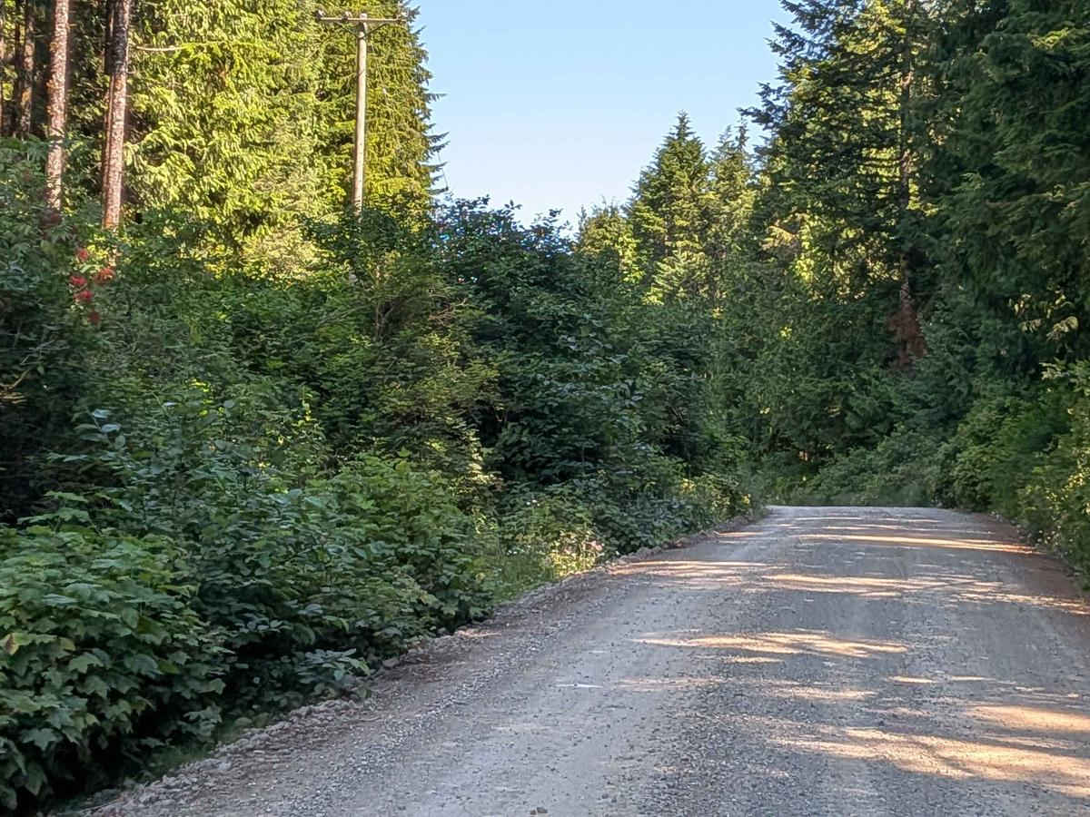
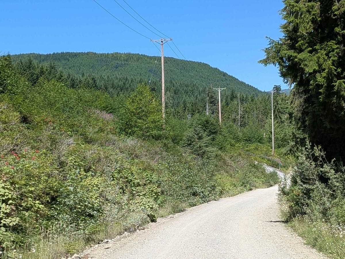
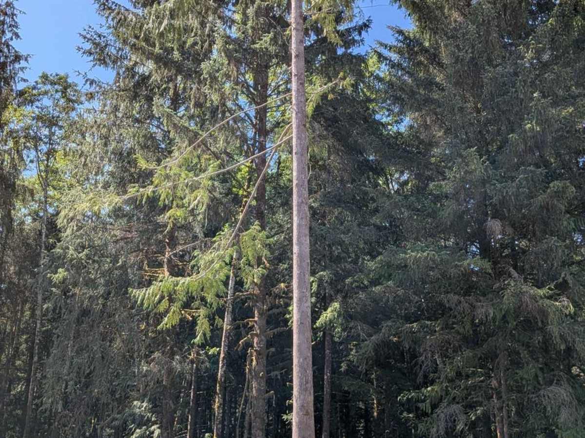
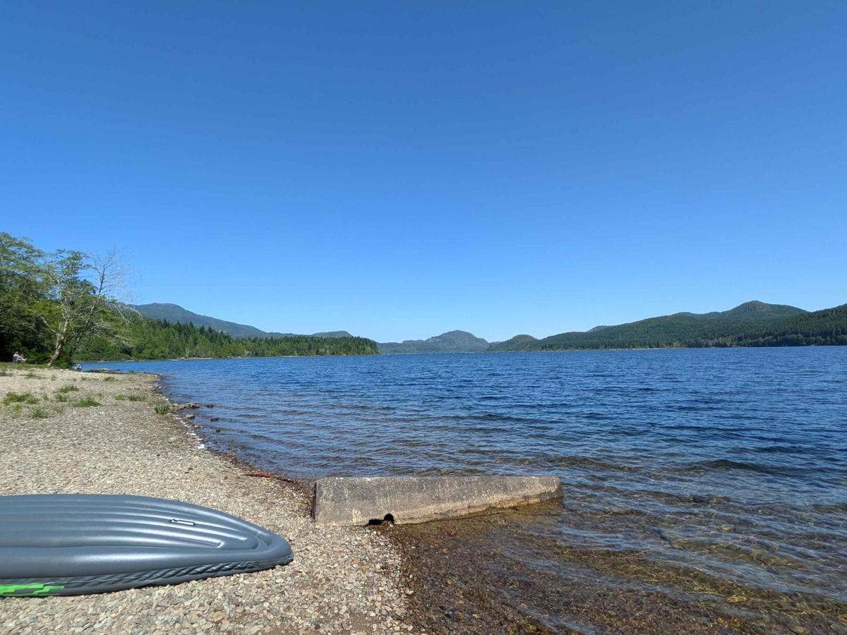
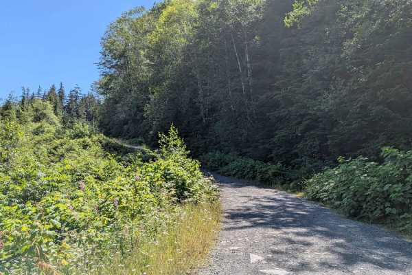
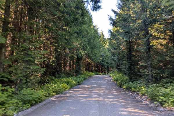
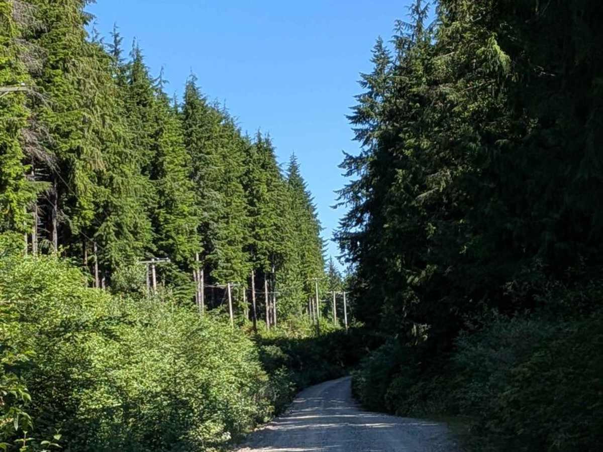
South East Main is a narrow, graded gravel route, just about one vehicle wide, that offers a smooth, well-maintained drive from the highway to one of Vancouver Island's best-kept recreational secrets. Despite its narrow width, the road is in excellent condition with no potholes, making it suitable for most vehicles. The trail follows the Benson River and passes alongside Alice Lake, offering glimpses of water through the tall pine trees that line the route. Dense berry bushes grow along both sides of the road for miles, especially in late summer, and it's not uncommon to spot bears foraging in these areas -- a reminder to travel with caution and awareness. On this route also lies the Link River Municipal Campground, located directly on the shores of Alice Lake. This campground is widely regarded as one of the nicest on the island, featuring large, well-groomed campsites with many right on the water. Amenities include clean bathrooms, a community fire pit, and access to a wide range of outdoor activities such as hiking, swimming, fishing, boating, and spelunking in nearby caves.

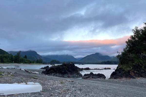
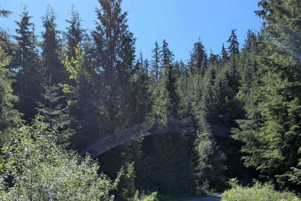
Photos of South East Main

Difficulty

The road is well-graded and suitable for all vehicles, with no technical challenges. The only consideration is its single-vehicle width--caution is advised on blind corners or when yielding to oncoming traffic.

Technical Rating

1

South East Main Trail can be accessed by the following ride types:

  • Single Track
  • High Clearance
  • Full Width

South East Main Map

The onX Offroad Difference

onX Offroad combines trail photos, descriptions, difficulty ratings, width restrictions, seasonality, and more in a user-friendly interface. Available on all devices, with offline access and full compatibility with CarPlay and Android Auto. Discover what you're missing today!

Open Trail Map