Merry Widow Main

Total Miles4.1
Technical Rating
1Easy
Best TimeFall, Summer, Spring
Trail TypeFull-Width Road
Accessible By
Open Trail Map

Trail Overview

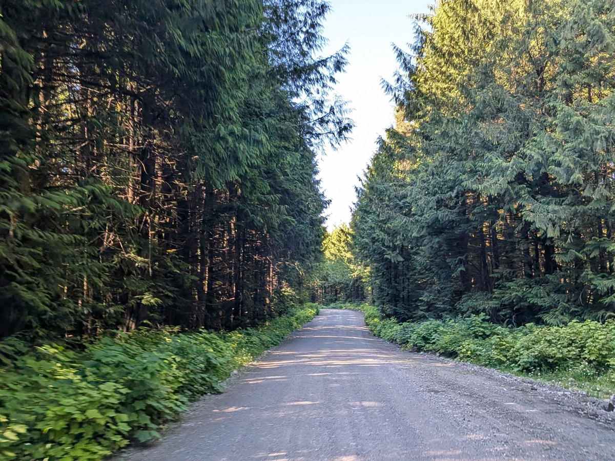
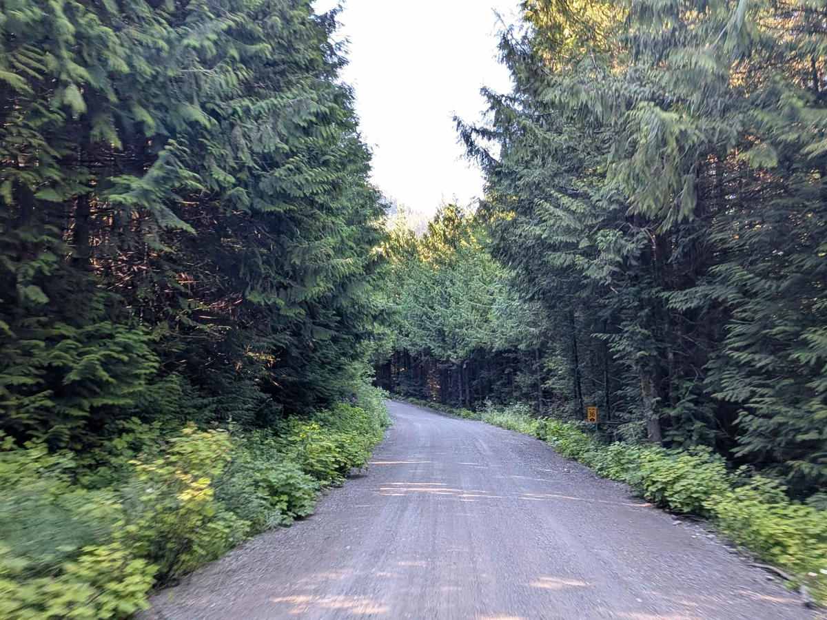
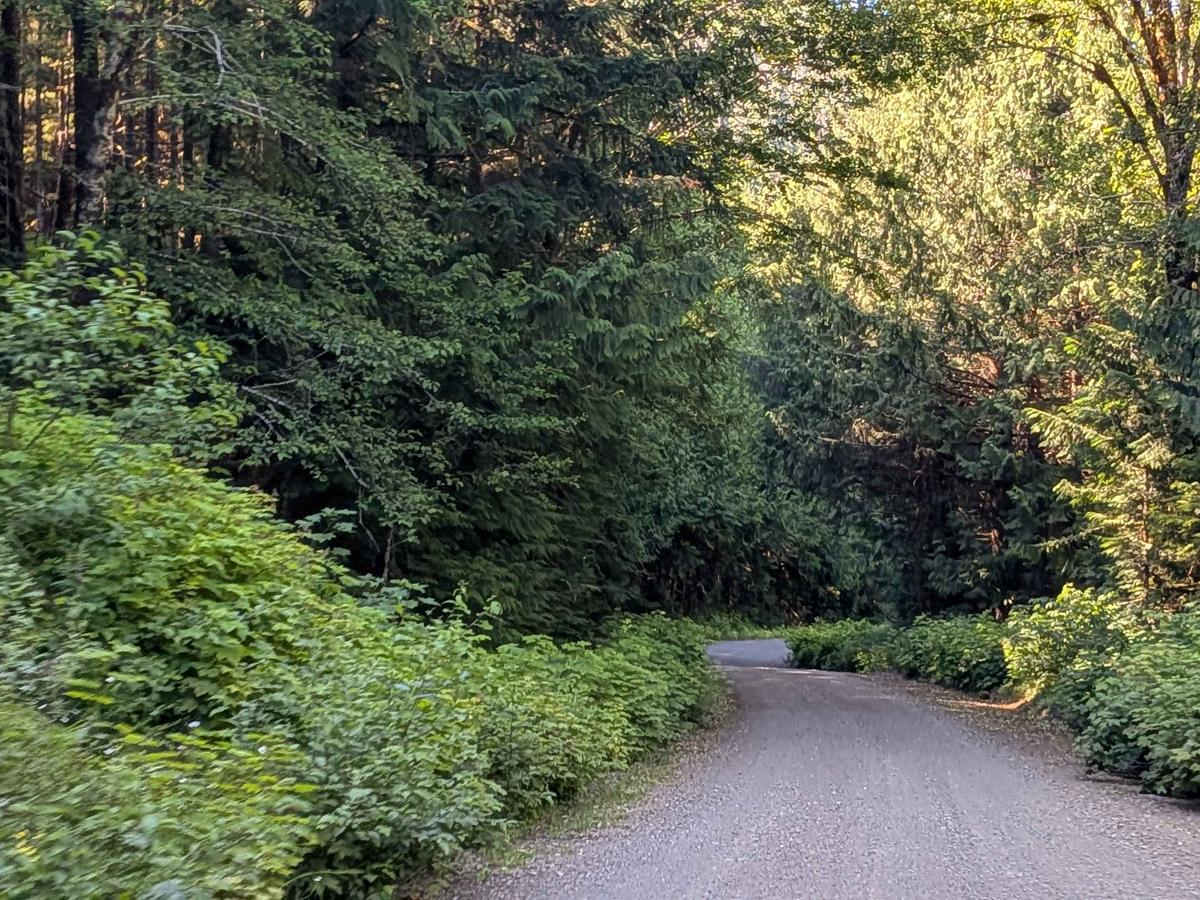
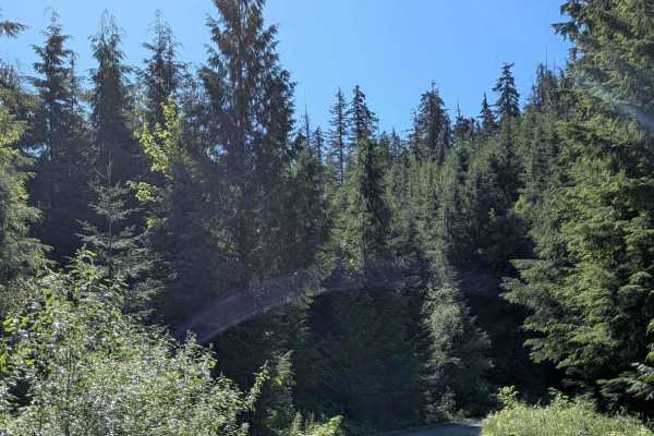
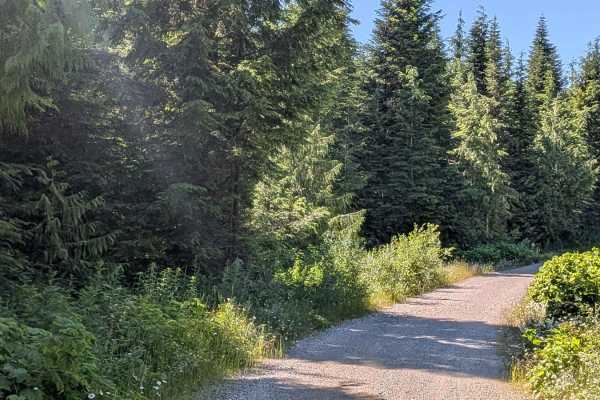
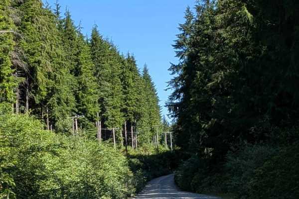
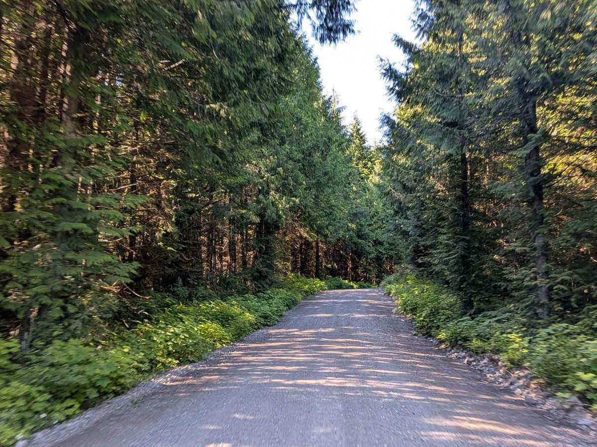
Merry Widow Main is a well-graded gravel road that provides a smooth, two-vehicle-wide connection between Benson Main and the Kathleen Lake Recreation Area. The route gradually descends from an elevation of 309 meters to 64 meters (1,014 to 210 feet), offering a steady, manageable grade throughout. The trail wraps around the south side of Benson Lake, treating drivers to scenic glimpses of the lake and surrounding forest. With its wide roadbed and consistent surface, it's a comfortable route well-suited for both recreational traffic and access to lakeside activities.

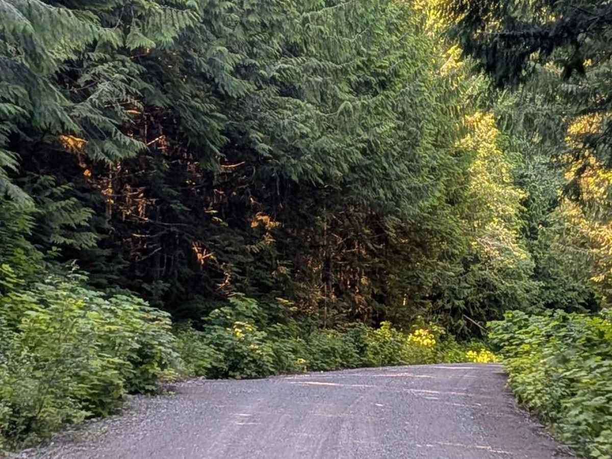
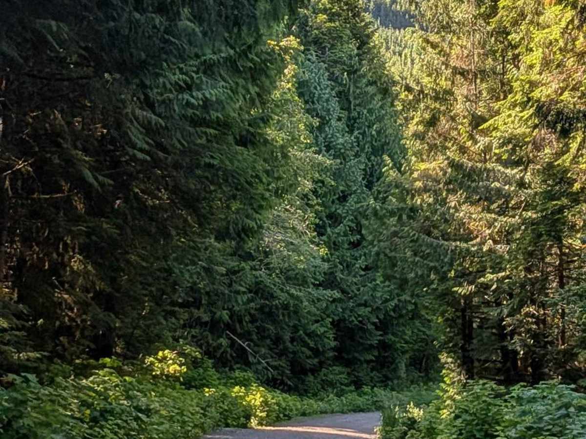
Photos of Merry Widow Main

Difficulty

The trail is easily passable for most vehicles, including stock SUVs and 2WD trucks. Its well-maintained surface and gentle descent make it ideal for families, anglers, and campers heading toward Kathleen Lake.

Technical Rating

1

Merry Widow Main Trail can be accessed by the following ride types:

  • Single Track
  • High Clearance
  • Full Width

Merry Widow Main Map

The onX Offroad Difference

onX Offroad combines trail photos, descriptions, difficulty ratings, width restrictions, seasonality, and more in a user-friendly interface. Available on all devices, with offline access and full compatibility with CarPlay and Android Auto. Discover what you're missing today!

Open Trail Map