Trail Overview
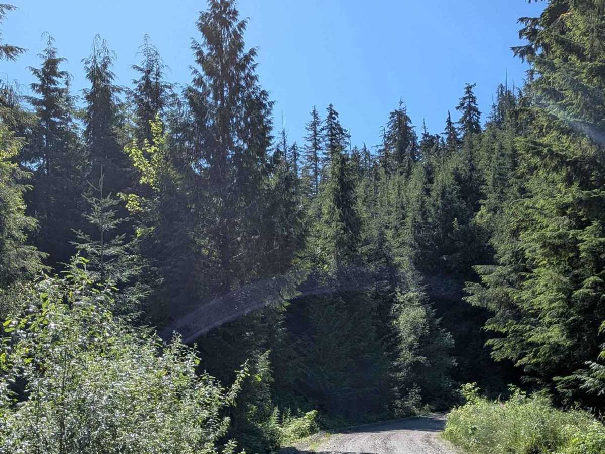
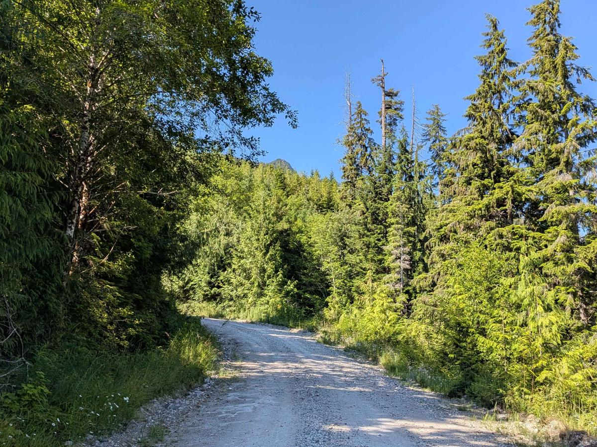
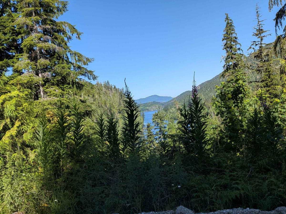
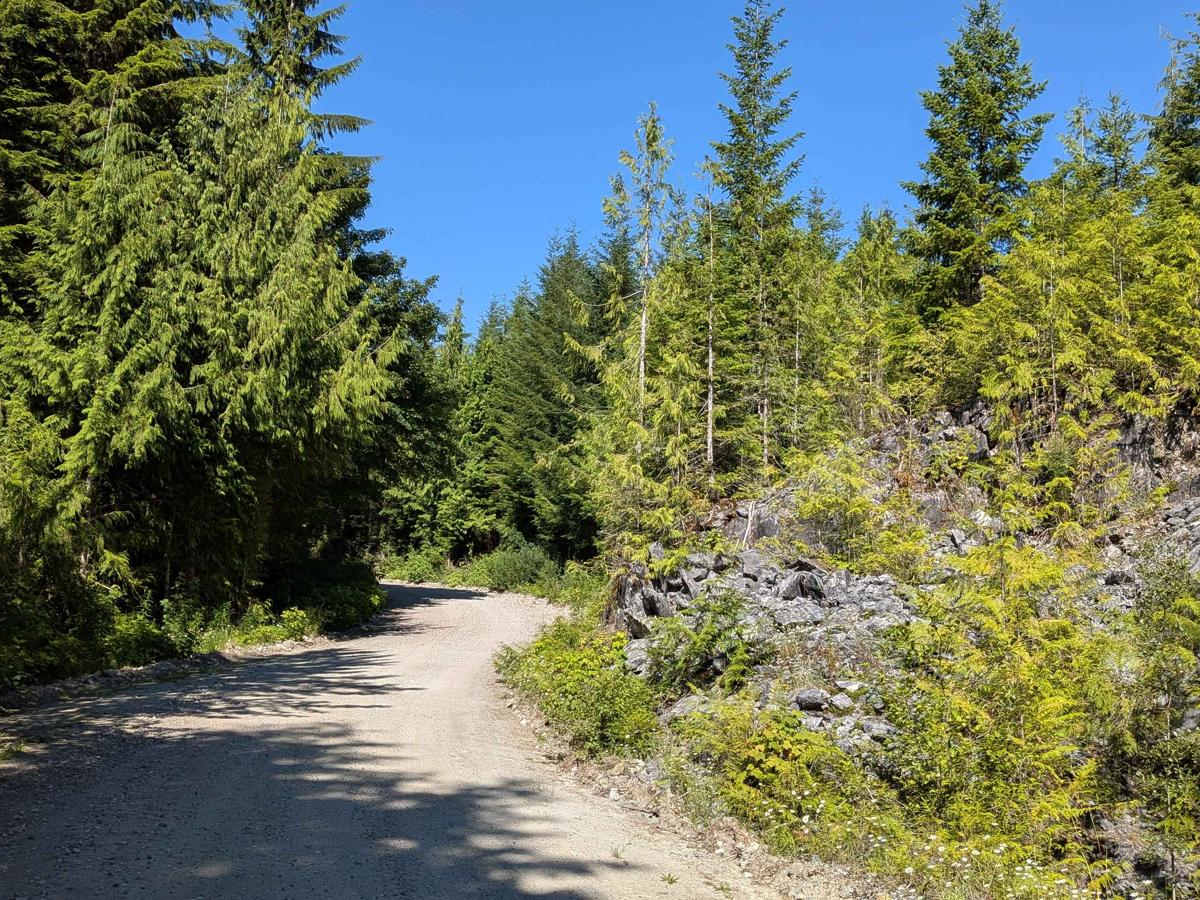
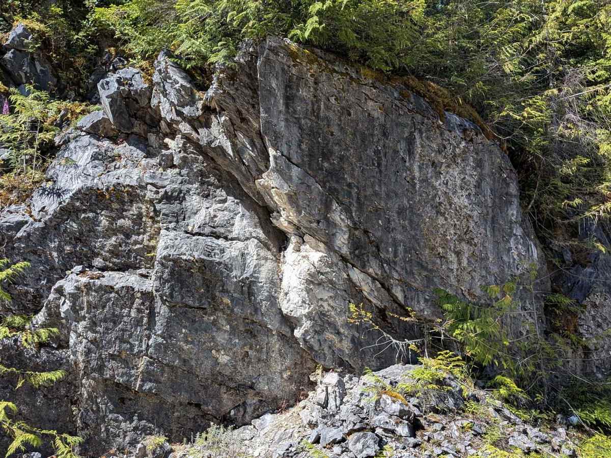
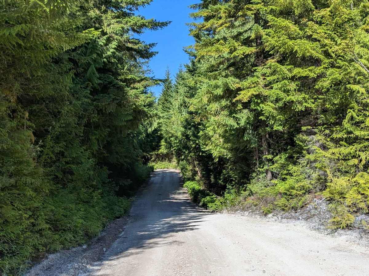
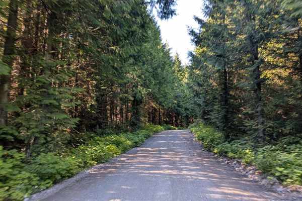
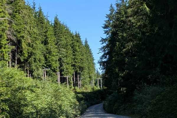
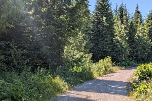
Alice Main South begins near Kathleen Lake and follows a wide gravel road--about two and a half vehicles wide--making it easily navigable but requiring caution due to heavy traffic from fast-moving gravel and logging trucks. The road is lined with tall pine trees, dense brush, and vibrant wildflowers, creating a scenic backdrop even in this active industrial corridor. The trail continues with the locally crushed gravel that makes up much of the road surface originating from nearby mining operations. Along the way, you'll spot small rock formations and unique geological features, especially as you pass through the Devil's Bath Recreation Site, where several caves are available to explore. Around Mile 4, the trail transitions from gravel to more of a dirt surface as you exit the mining zone and enter a beautiful forested canopy. By Mile 6, the trail descends again, and the canopy opens into a long stretch lined with dense berry bushes. These bushes are known to attract wildlife, especially bears, when in season, so be alert during late summer and early fall.
Difficulty
Despite some rougher transitions, this trail remains well-suited for all high-clearance vehicles. The primary challenge is sharing the road safely with industrial traffic and staying aware in bear-active zones.

 Offroad