Trail Overview
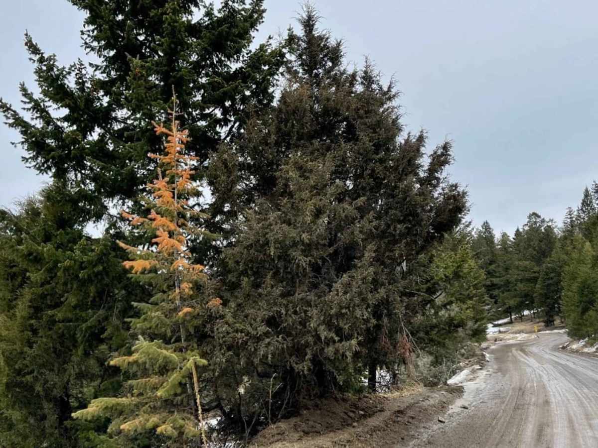
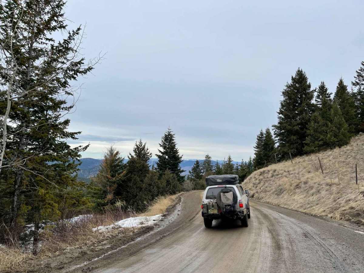
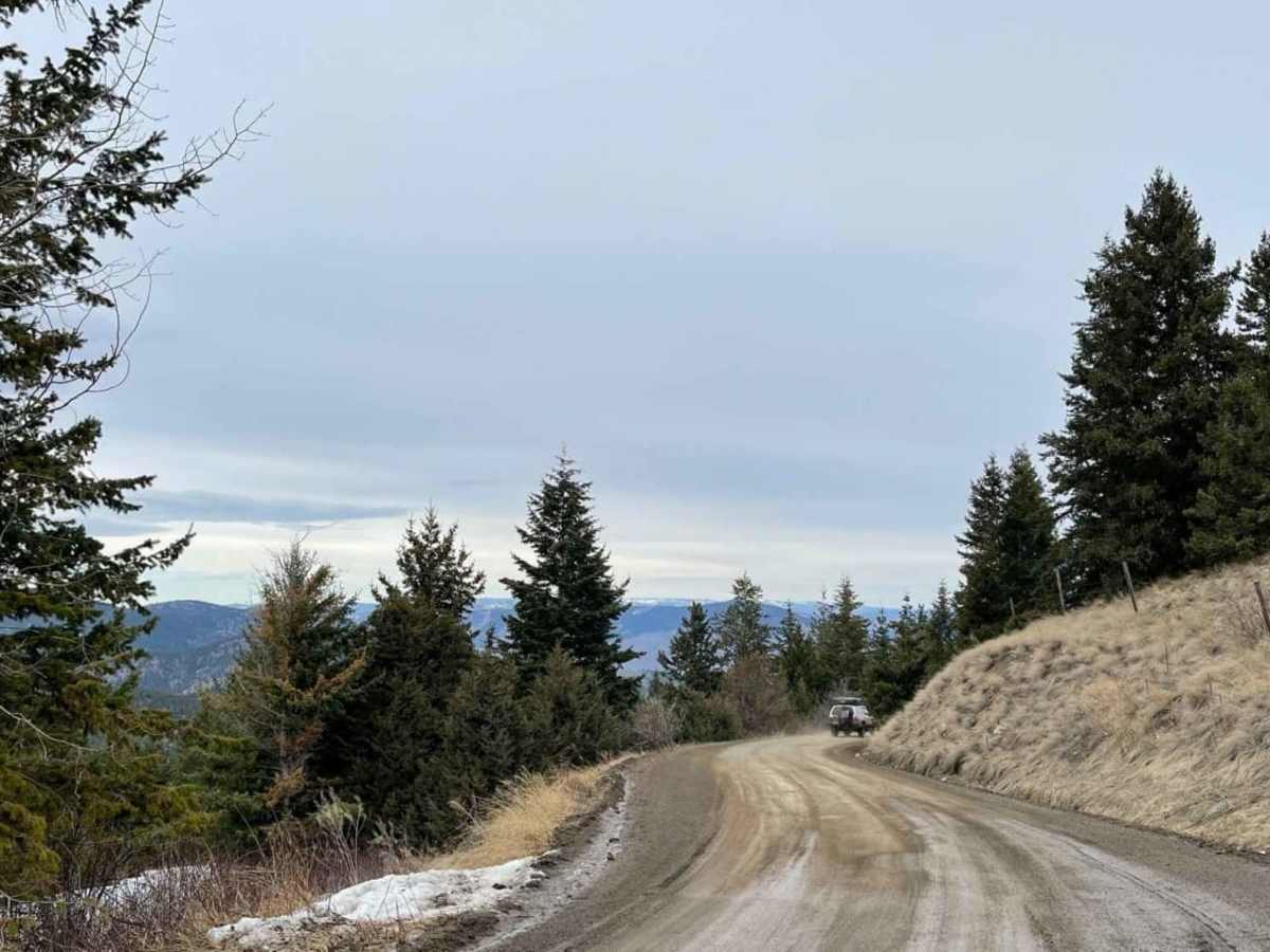
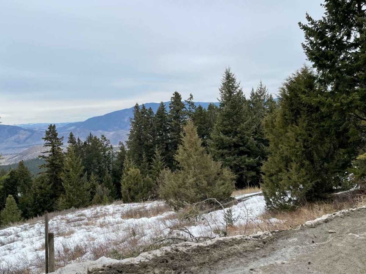
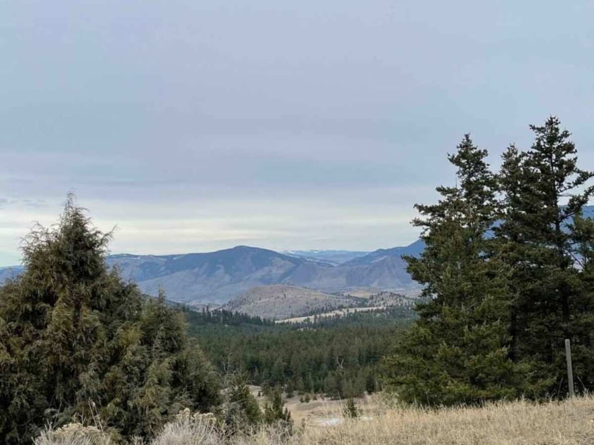
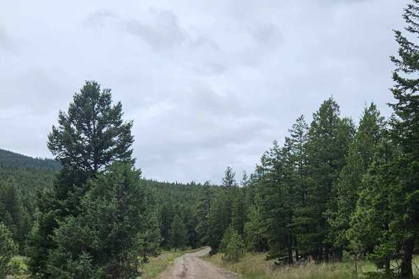
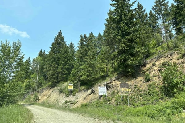
Robbin Range Road offers a scenic and approachable backroad adventure for stock high-clearance 4WD vehicles and overland rigs looking to explore the rolling terrain between Kamloops and Vernon. Stretching approximately 18.6 miles, this route climbs through thick pine forests and vast ranch lands, offering stunning views of Buse Hill and Bestwick Hill. Starting at an elevation of roughly 1,750 feet, the road winds up via some moderately sharp switchbacks and elevated edges, reaching a maximum height of over 3,500 feet where the terrain flattens out into a scenic plateau. Drivers should remain alert for active ranching operations and livestock, ensuring all gates are left as found while navigating this multi-use corridor.
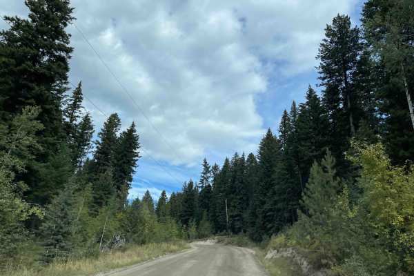
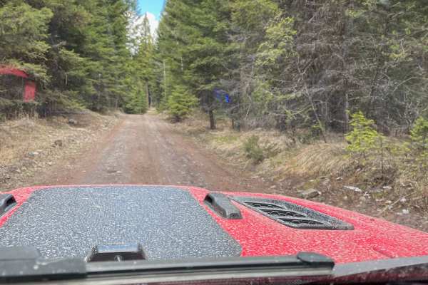
With a technical difficulty rating of 4, the road consists primarily of unpaved dirt and gravel surfaces that are generally flat along the higher sections. Side spurs branching off the main path are common, though many end at private property fences, sticking to the main route is essential. The route can be completed as a point-to-point drive, starting either from the lower valley near Highway 1 or connecting through to Highway 97 on the eastern end. Perfect for a half-day outing, the trail is best enjoyed from late spring through fall when snow has cleared from the higher-elevation segments.