Lodgepole Pass
Total Kilometers
76.1
Technical Rating
Best Time
Summer
Trail Type
Full-Width Road
Accessible By
Trail Overview
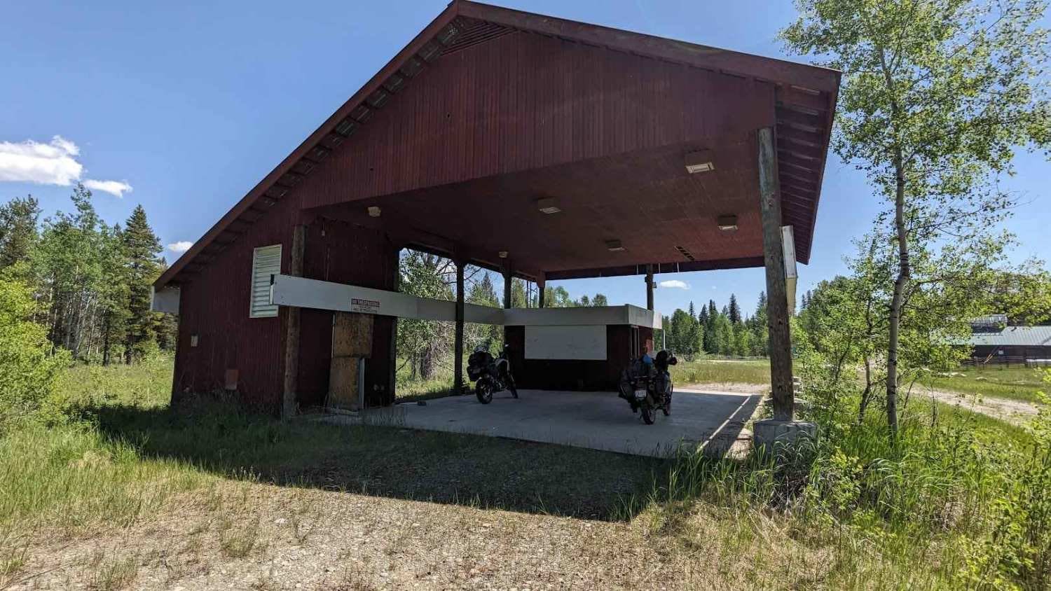
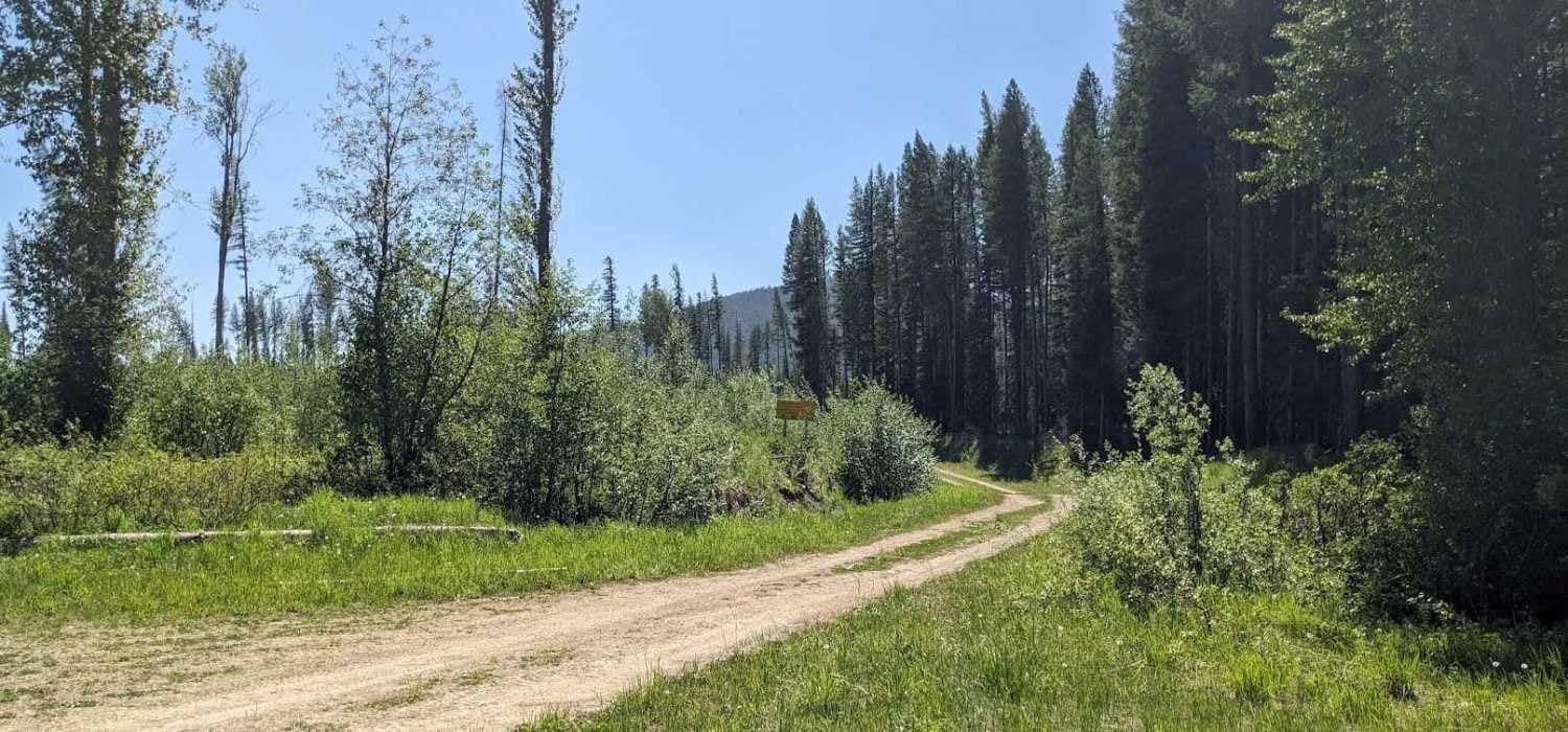
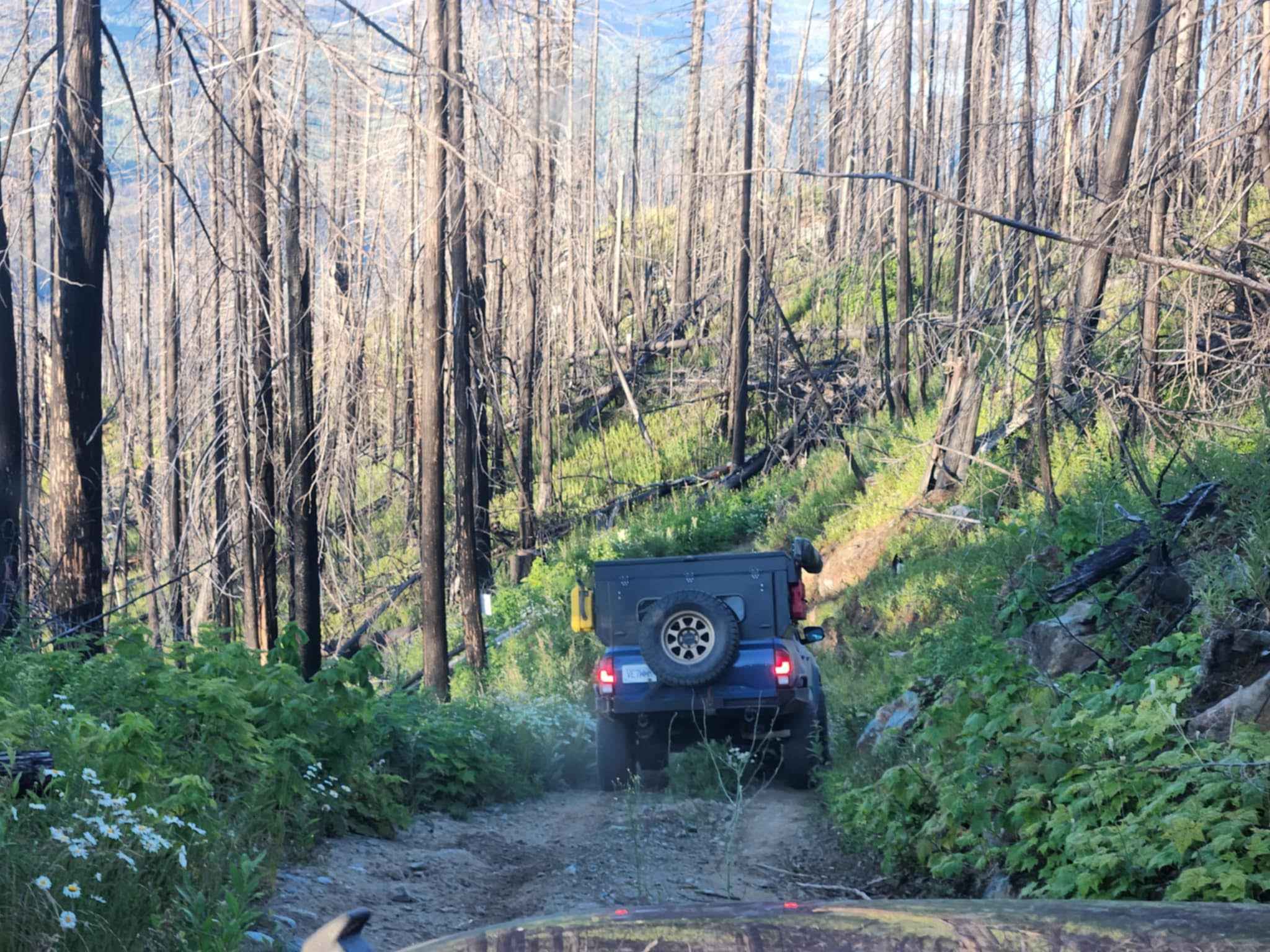
This trail is the west access to an abandoned border crossing. You will start at Lodgepole Road, which is a hard-packed gravel road. It will take you through multiple valleys to a Sasquatch sign. From there, you will turn south onto the Flathead Forest Service Road. It will be a good, hard-packed gravel road, and it will start to narrow down, getting more overgrown until you reach the abandoned border crossing, where you will find multiple buildings & foundations. Please respect the area & structures. All bridges have been refurbished to concrete bridges.
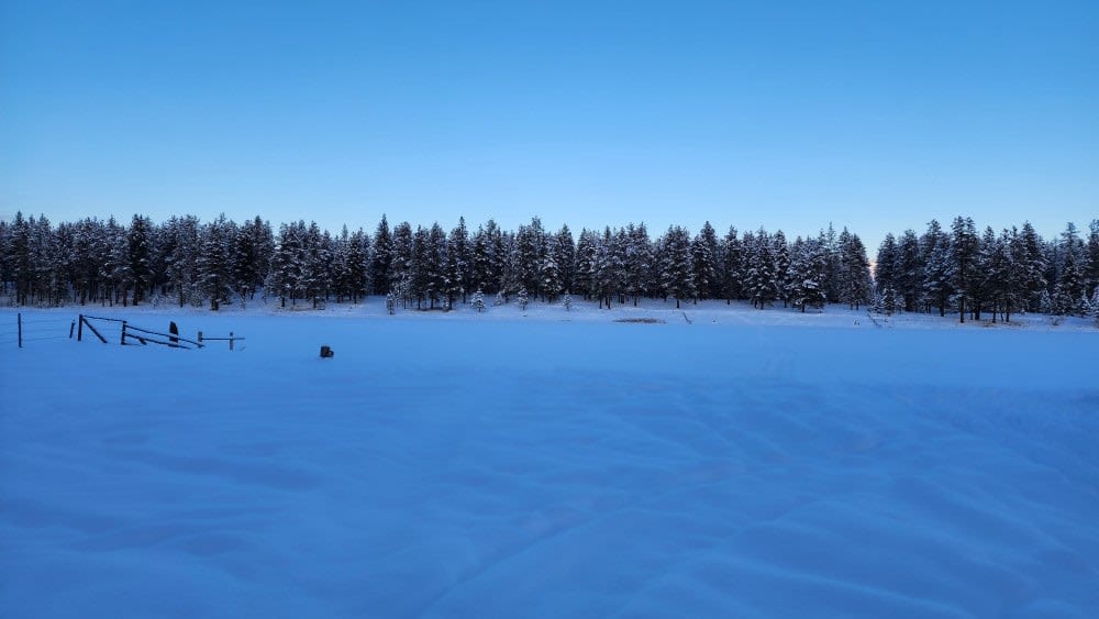
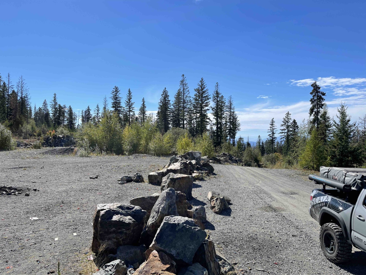
Photos of Lodgepole Pass
Difficulty
A 4WD vehicle or Adventure Bikes are preferred for the last 10 kilometers (6 miles) due to overgrowth with some small deadfall at times, and it can be rutted & slippery on wet days.
Status Reports
Lodgepole Pass can be accessed by the following ride types:
- High-Clearance 4x4
- SUV
Lodgepole Pass Map
Popular Trails
McGinty Lake Loop
Proctor Lake Rd
Adams Hill Cell Tower

Wrangler Cabin Access Rd
The onX Offroad Difference
onX Offroad combines trail photos, descriptions, difficulty ratings, width restrictions, seasonality, and more in a user-friendly interface. Available on all devices, with offline access and full compatibility with CarPlay and Android Auto. Discover what you’re missing today!