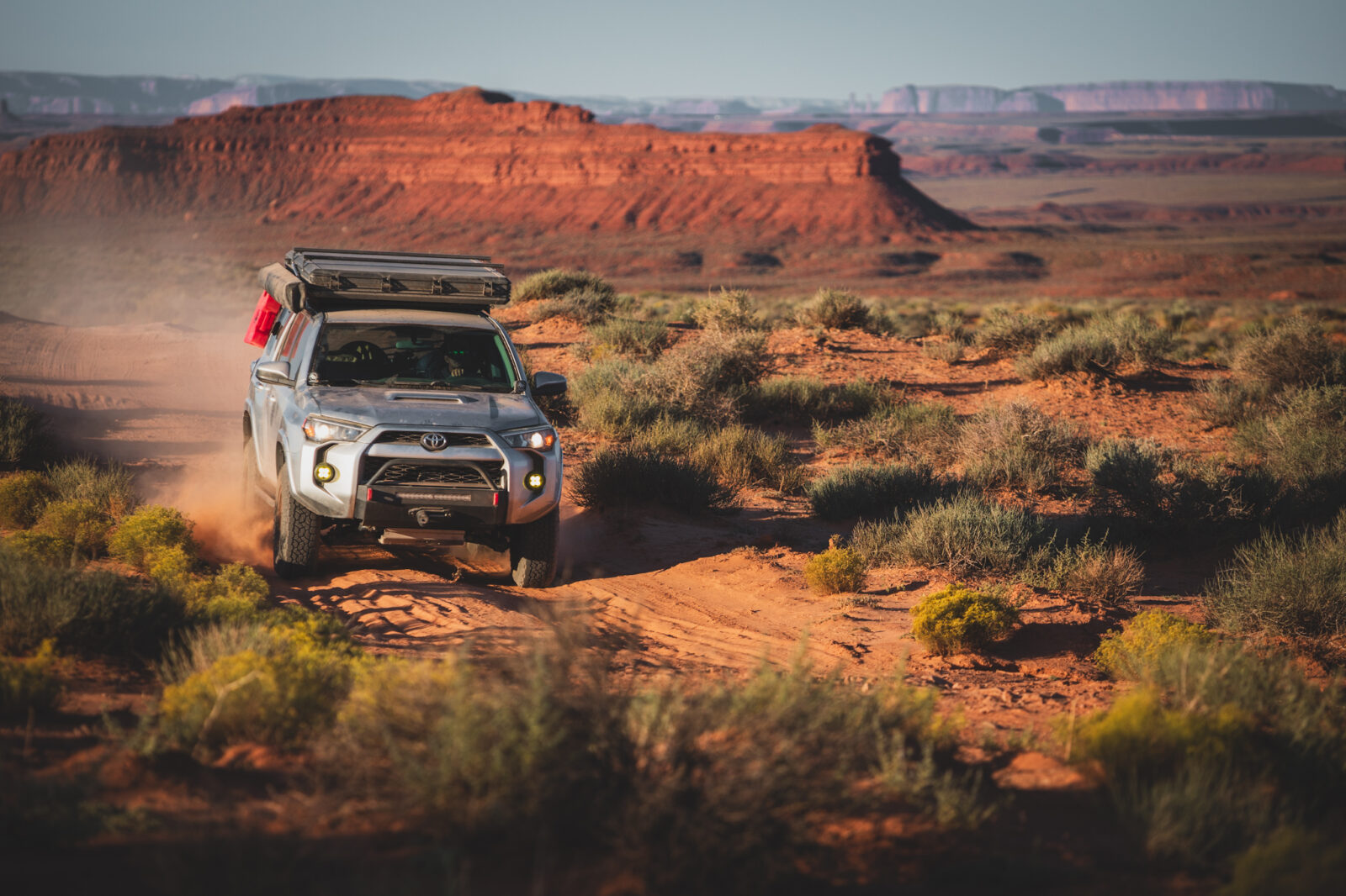
THERE’S NO OFFSEASON
Your Guide to Desert Off-Roading
When cooler weather arrives, desert season begins. Find off-road trails, dirt bike riding areas, OHV parks, dispersed camping, overlanding routes, and trip-planning tools across Arizona, Southern California, Utah, and Nevada.
Explore Desert Off-Road Trails
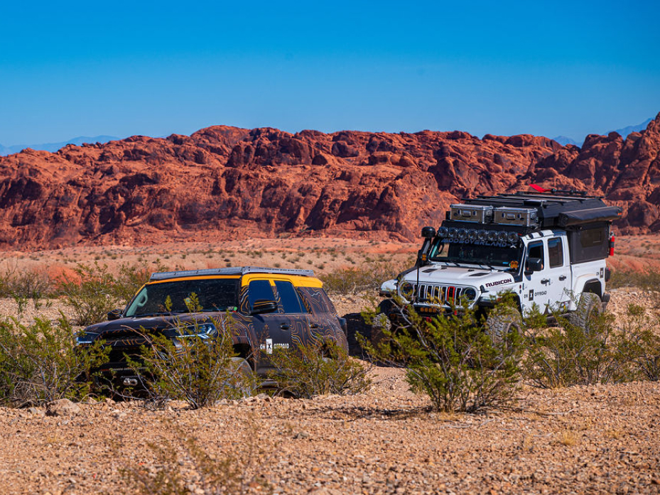
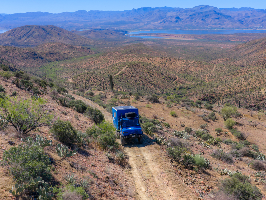
From saguaro-lined trails in Arizona to the wide-open Mojave, the desert offers everything from scenic backcountry drives to technical rock, sand, and slickrock. Explore trails by destination, then compare available details such as difficulty, distance, vehicle type, seasonal timing, and access before choosing your route.



Plan Your Next Desert Dirt Bike Ride
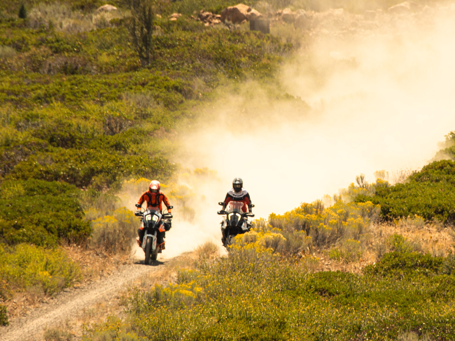
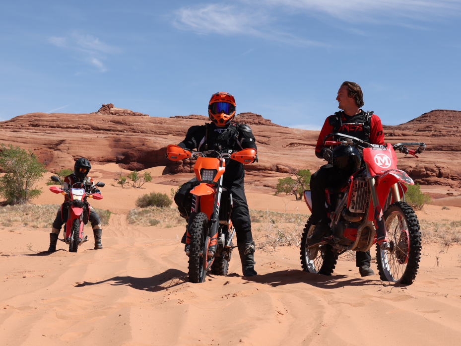
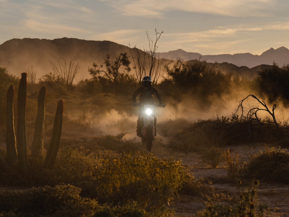
Cooler temperatures open up desert singletrack, sandy washes, dunes, and OHV trail systems that can be difficult to ride during the hottest months. Find dirt bike trails, then check difficulty, staging access, permits, seasonal conditions, and vehicle requirements before unloading.



Before You Ride Checklist:
✅ Confirm that dirt bikes are permitted on the route.
✅ Check registration, permit, and spark-arrestor requirements.
✅ Confirm staging and trailer access.
✅ Plan around the least experienced rider.
✅ Download Offline Maps before leaving service.
✅ Carry extra water, fuel, tools, and recovery gear.
✅ Share your route and expected return time.
Plan a Desert Camping and Overlanding Trip
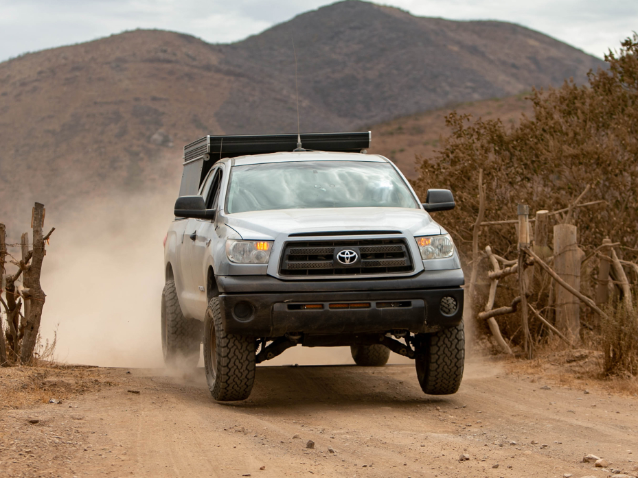
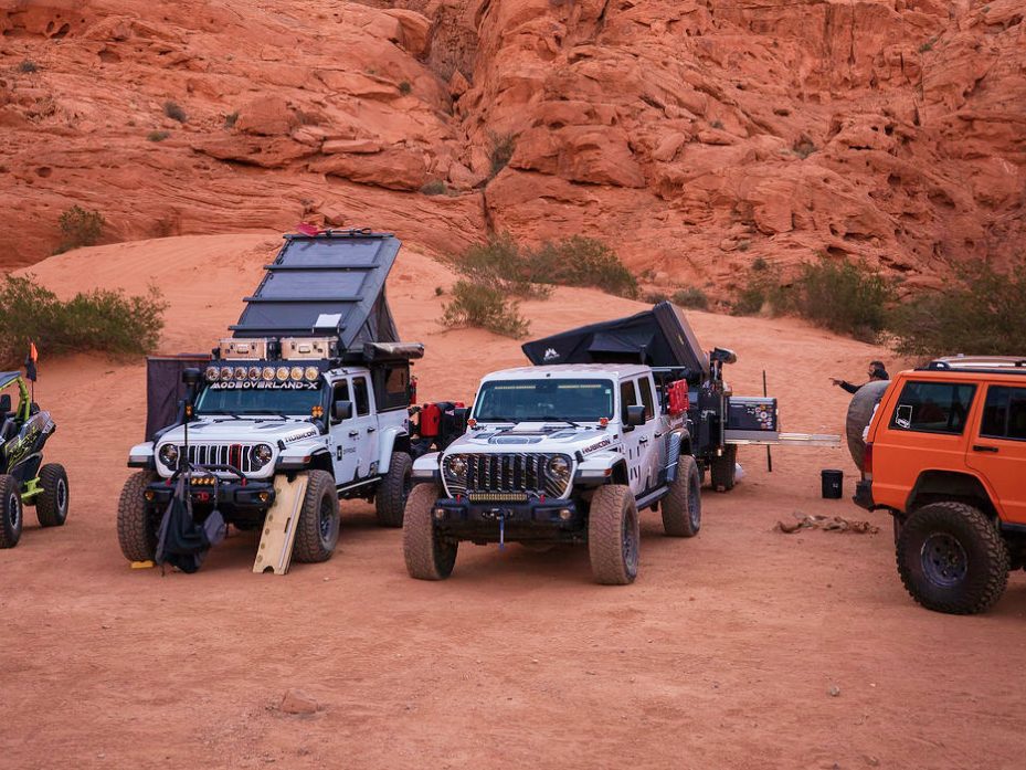
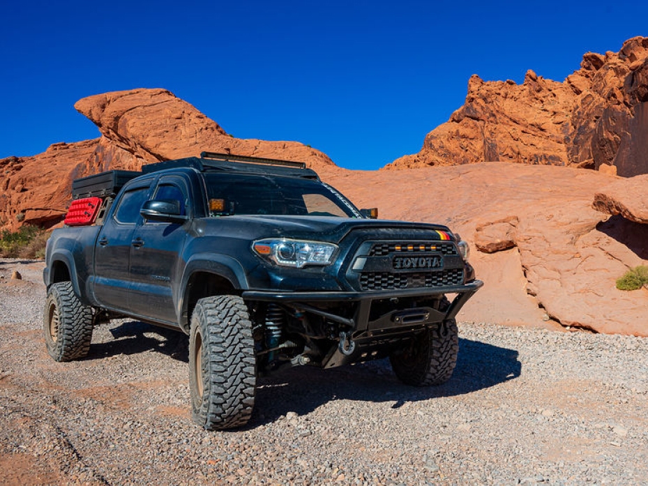
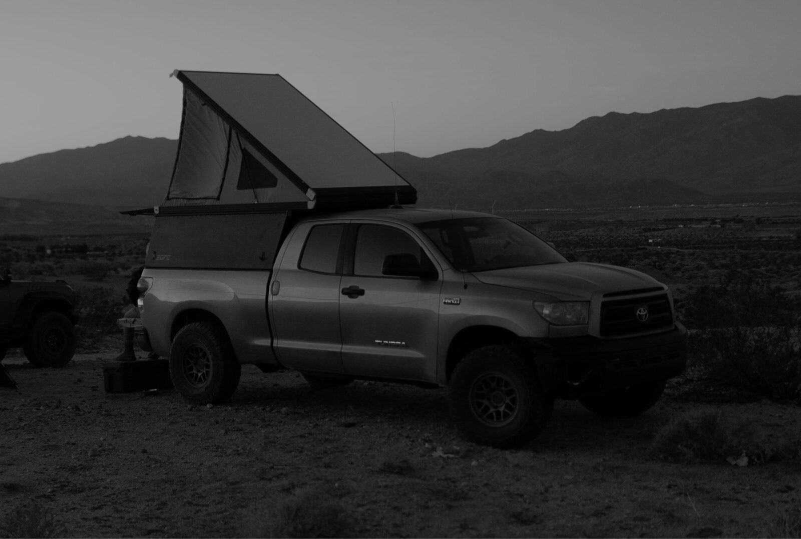
A memorable desert trip takes more than finding a trail. Use dispersed camping maps to understand where camping may be permitted, plan fuel and water stops, download maps, and identify backup routes and camps before leaving pavement.
Desert Camping Checklist:
✅ Identify who manages the land.
✅ Confirm where dispersed camping is currently permitted.
✅ Review stay limits, fire restrictions, and local regulations.
✅ Use established sites where required or appropriate.
✅ Mark reliable fuel, water, and food stops.
✅ Save primary and backup camp options.
✅ Check access for trailers, campers, and longer vehicles.
✅ Download the route and surrounding map area.
Visit an Off-Road Park or OHV Area
Established OHV areas can give newer riders, mixed-skill groups, and visiting crews a clearer place to begin. Many offer defined riding boundaries, staging areas, camping, facilities, or trails for multiple vehicle types—but rules and amenities vary by destination.


Find New Trails
Year-Round
Explore destinations that stay accessible through fall and winter.
onX Offroad Tools for Desert Travel
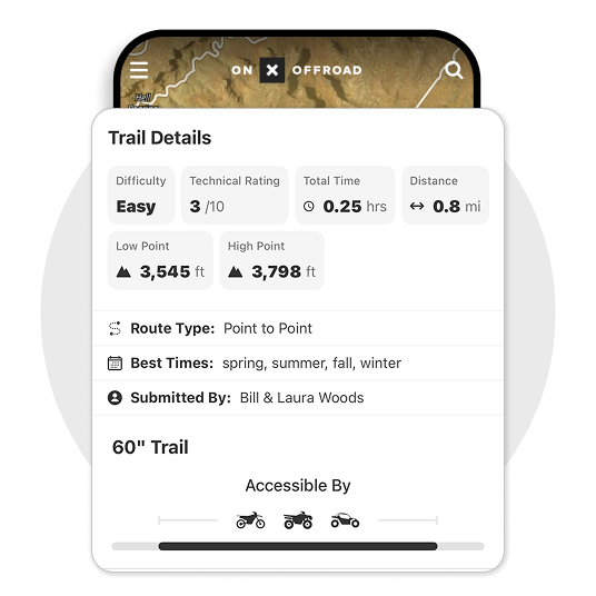
Find the Right Trail
Compare available trail descriptions, difficulty ratings, mileage, width restrictions, photos, seasonal information, and permitted vehicle types before committing to a route.
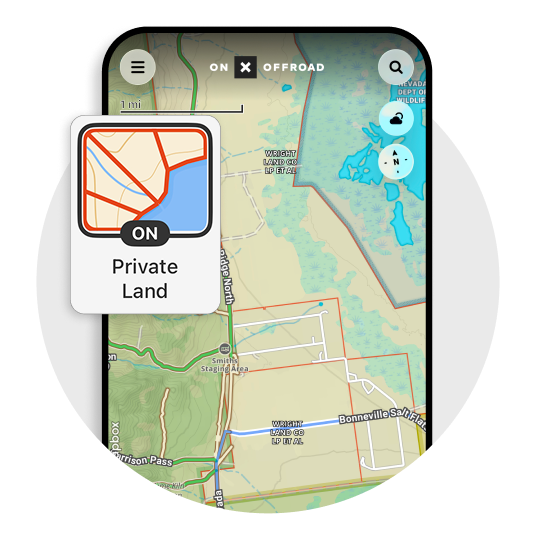
Understand the Land Around You
View public and private land boundaries to better understand who manages the land and where access or regulations may change.
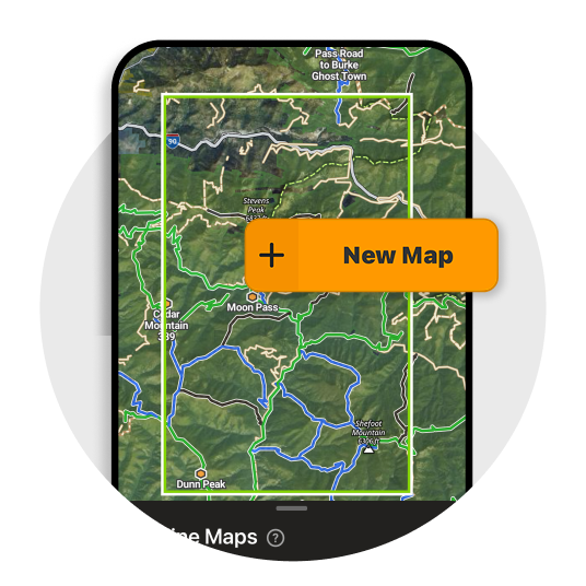
Keep Your Map Available Offline
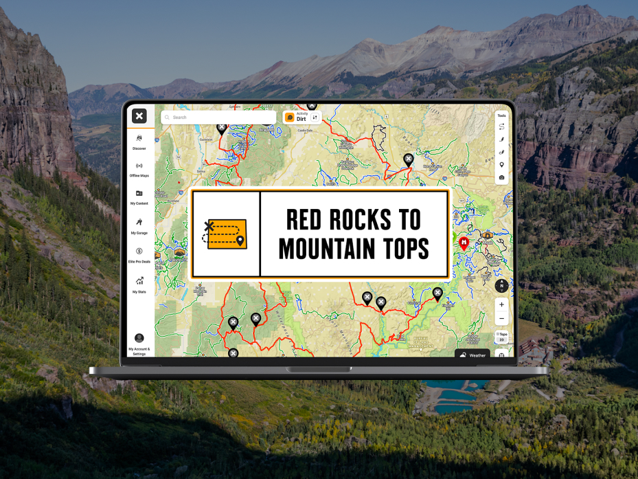
Download Offline Maps before leaving cell service so your saved trail, land, and map information stays available in remote terrain.
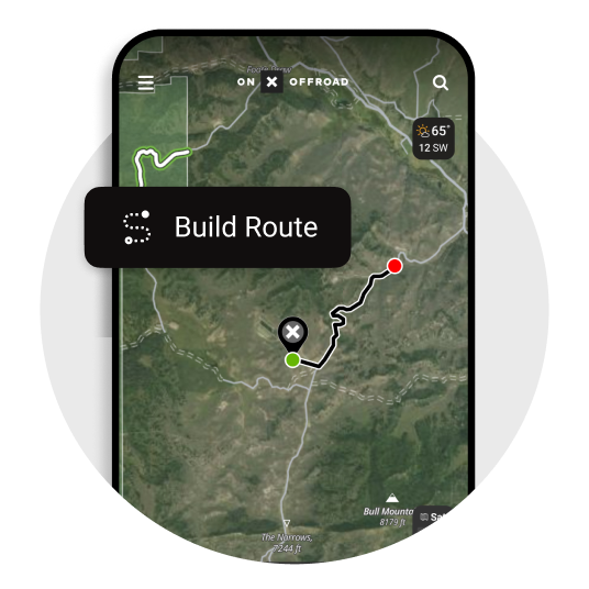
Build the Trip Around the Trail
Save Waypoints for camps, fuel stops, trailheads, obstacles, meeting points, and backup locations. Build and share routes with the rest of your group.
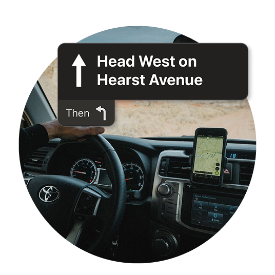
Keep the Map in View
Use CarPlay or Android Auto on compatible displays to reference your map while keeping your phone out of your hands.
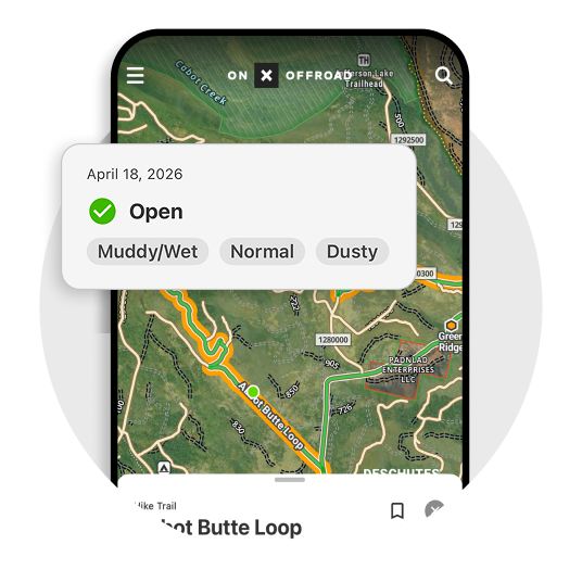
Learn From Recent Trail Reports
See rider-submitted observations about conditions and obstacles, then confirm closures and restrictions with the appropriate land-management agency.
Featured Desert Off-Roading Guides
Use three or four editorial cards to connect the hub with deeper content and help build an internal-link network.
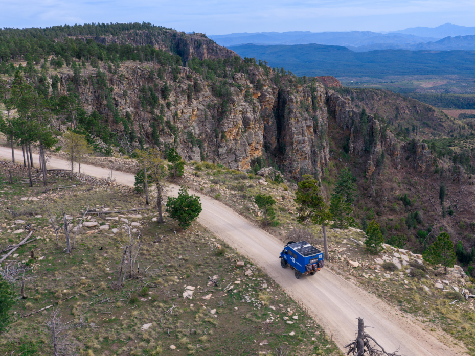
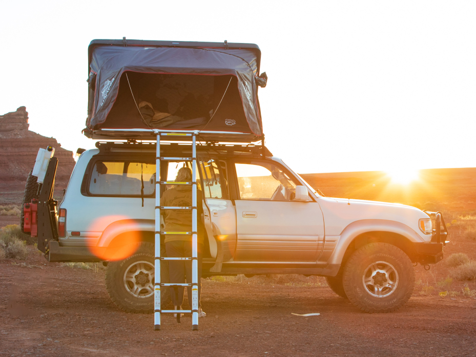

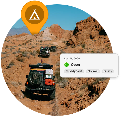
Your Desert Trip Starts Here
Find a trail, check the terrain and access, save your camps and fuel stops, and download your maps before the pavement ends.
Desert Off-Roading FAQs
From fall through spring, temperatures are generally cooler in many Southwest desert destinations, but ideal timing varies by elevation, weather, and location. Check current forecasts, road conditions, and agency notices before leaving.
Search by location in onX Offroad, filter by your vehicle type, and compare available trail details, including difficulty, mileage, width, photos, and seasonal information.
From fall through spring, temperatures are generally cooler in many Southwest desert destinations, but ideal timing varies by elevation, weather, and location. Check current forecasts, road conditions, and agency notices before leaving.
Dispersed camping may be permitted on some BLM and National Forest land, but rules vary. Confirm land ownership, camping designations, stay limits, fire restrictions, and current access for the exact location.
Download an Offline Map covering your route and the surrounding area before leaving service. Save important Waypoints such as trailheads, camps, fuel stops, and alternate routes.