Trail Overview
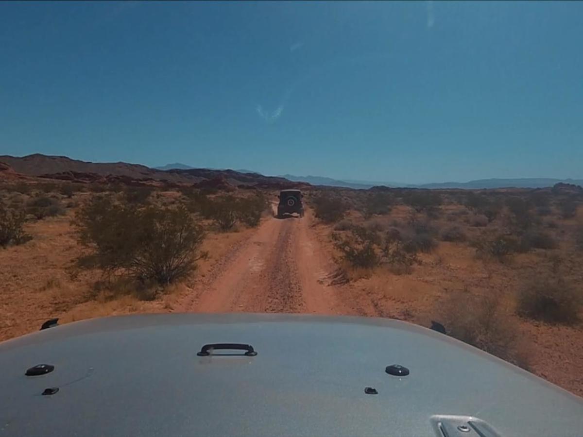
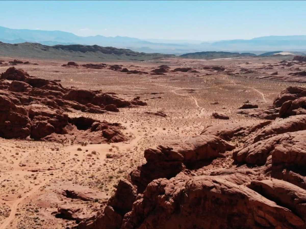
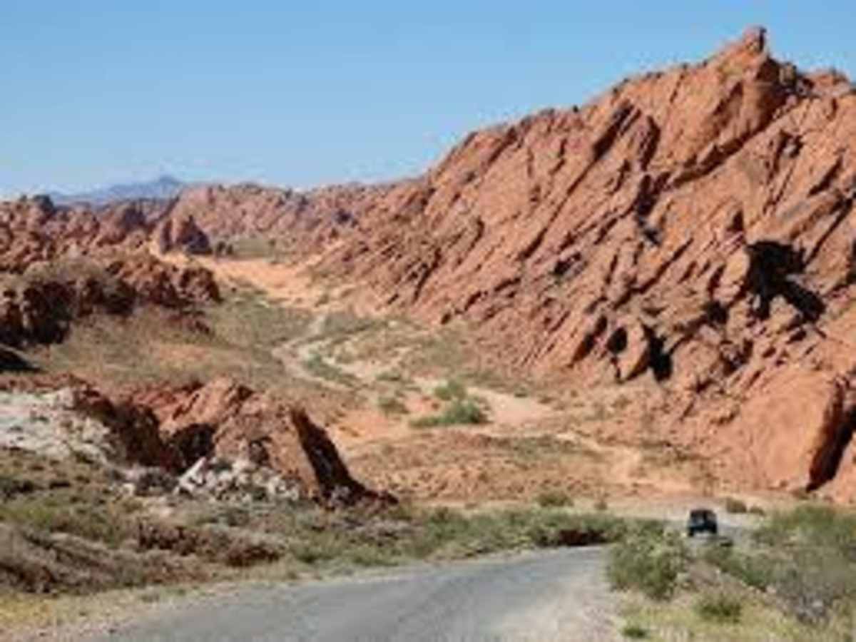
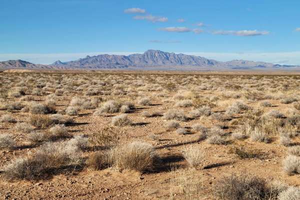
The 13-Mile Loop is a beginner-friendly, 19.7-mile route that serves as the central artery of the Logandale Trail System. Traveling through scenic Mojave Desert terrain, the trail features striking red Aztec sandstone, sandy washes, and ancient petroglyph sites. It is suitable for stock 4x4s, ATVs, and UTVs, and provides access to various connecting trails.
The loop ranges from 1,505 to 2,009 feet in elevation. While mostly flat and sandy, it contains one rocky segment requiring careful tire placement for lower-clearance vehicles. Due to extreme summer heat exceeding 100°F, the optimal visiting season is fall through spring. Lowering tire pressure is recommended for the sandy sections.
Access Description
The Logandale Trail System is managed by the Bureau of Land Management (BLM) and is open year-round with no daily use fees. All off-highway vehicles (OHVs) must display a valid Nevada OHV registration decal, and out-of-state visitors must comply with state registration requirements. Dispersed camping is permitted in designated areas, and visitors are required to pack out all trash and respect the sensitive cultural and archaeological resources, including ancient petroglyphs.