Trail Overview
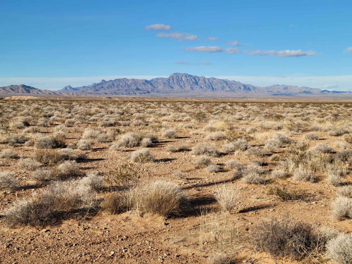
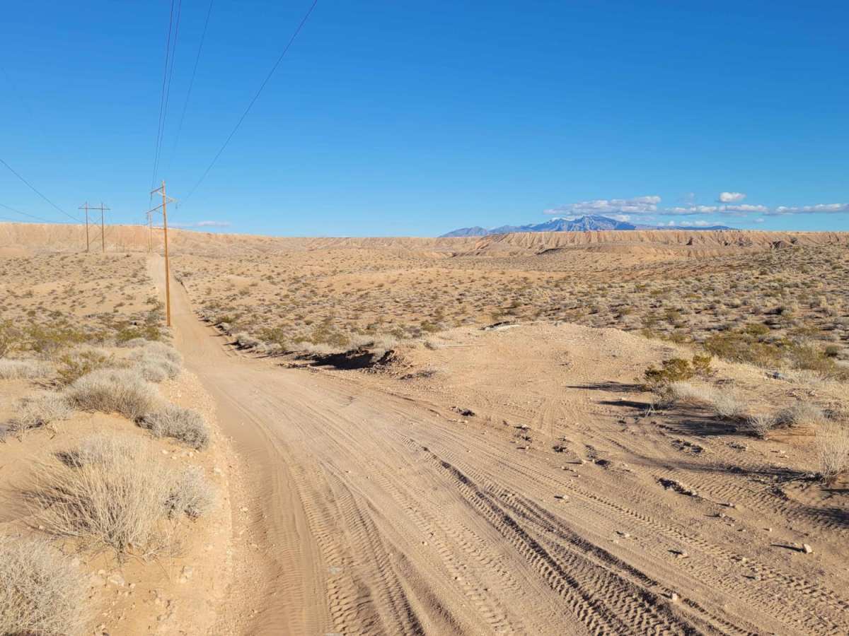
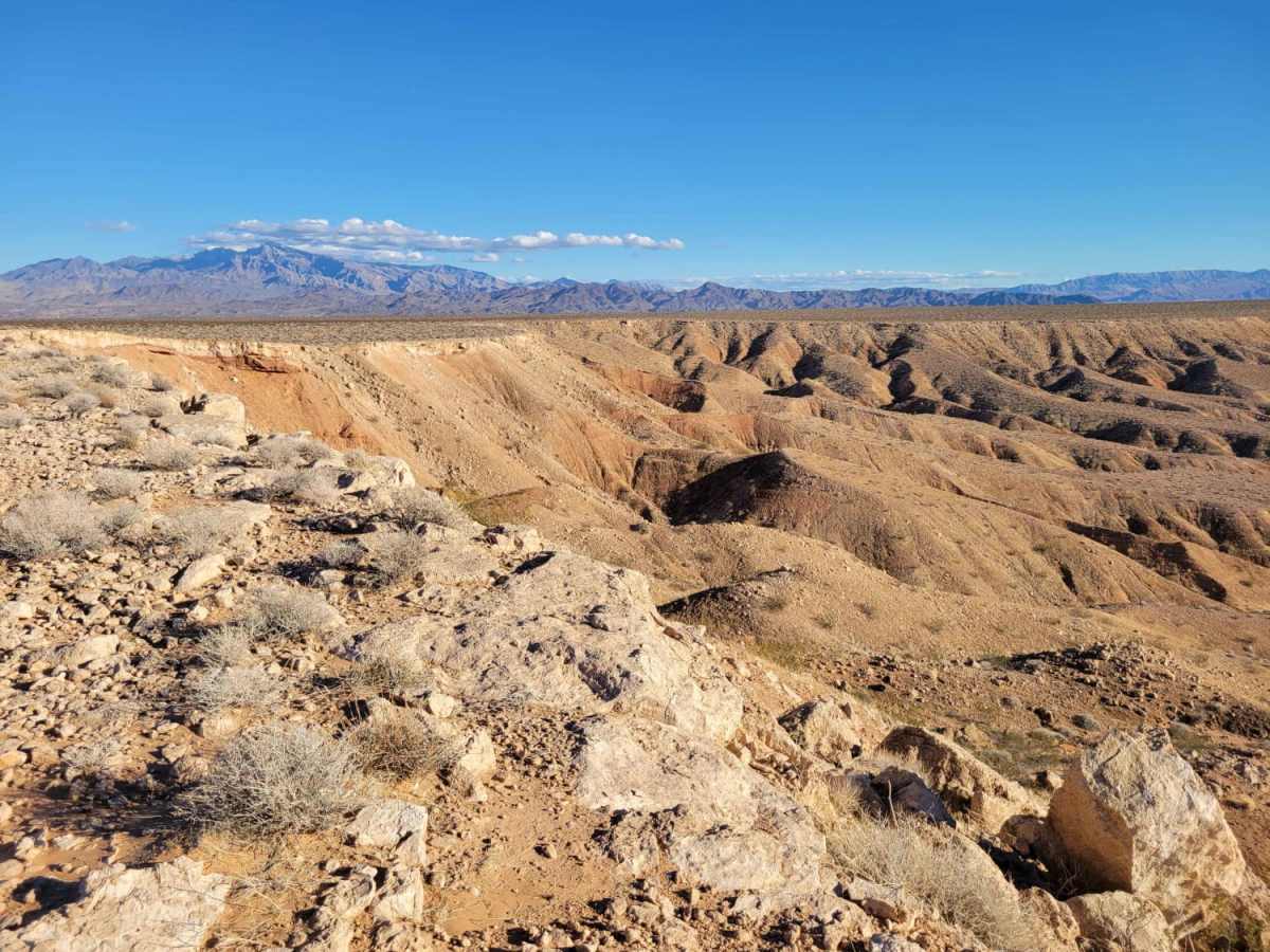
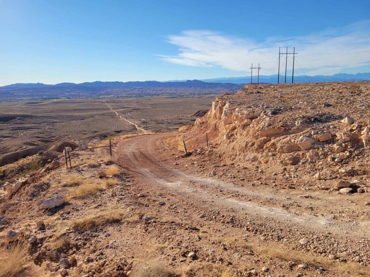
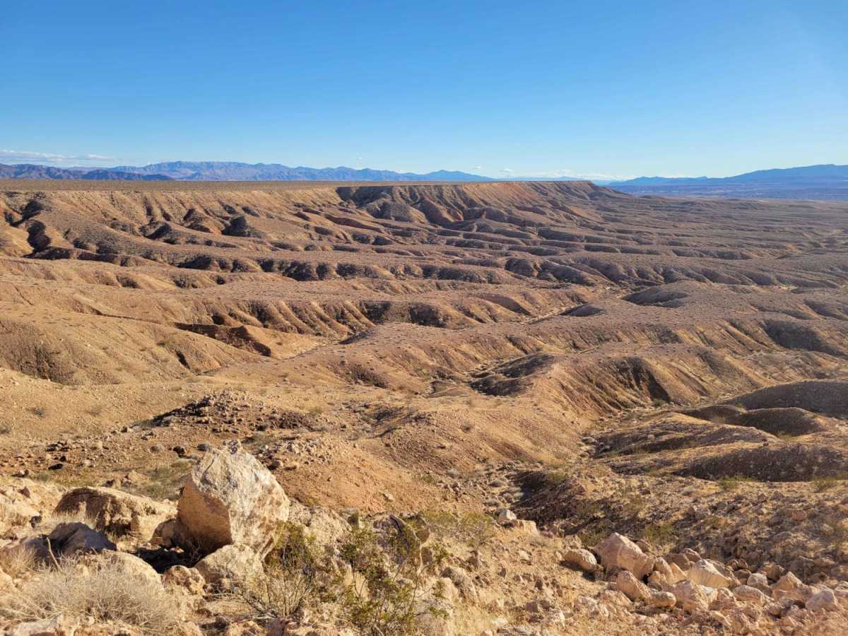
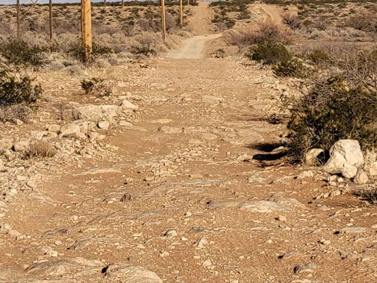
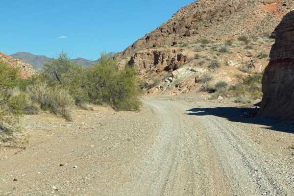
Mormon Mesa is an ideal, straightforward route for novice offroaders, stock four-wheel-drive vehicles, and SxSs looking to experience expansive desert views high above the Moapa Valley. Spanning approximately 6.5 miles, this point-to-point trail climbs from an elevation of 1,445 feet up to 1,937 feet as it ascends the western flank of the Mormon Mesa. Following a power line corridor northeast of Logandale, the route features a brief, moderately steep climb to top out on the flat mesa plateau, where the terrain becomes bumpy and consistently rocky. High-clearance vehicles with airing-down capabilities will appreciate the extra cushioning over these repetitive small rock obstacles.
With a technical rating of 3 out of 10, the trail presents minimal difficulties beyond the short climb and the bumpy surface, making it accessible to most stock high-clearance four-wheel-drive SUVs and trucks. Summertime temperatures in this southern Nevada desert regularly exceed triple digits, making autumn, winter, and spring the best seasons to visit. Drivers should carry plenty of extra water, ensure their tires are in good condition to handle the sharp mesa stones, and be prepared for intense sun exposure. The trail ends at an intersection with other desert tracks on the mesa, offering opportunities to extend the journey or double back to enjoy the scenic descent overlooking the Bowman Reservoir and the valley below.
Access Description
This trail is located on public land managed by the Bureau of Land Management (BLM). No permits or fees are required to access the trail, but vehicles must have proper registration or Nevada off-highway vehicle (OHV) decals. Extremely high summer temperatures make off-season travel essential, and users should pack adequate water and recovery gear.