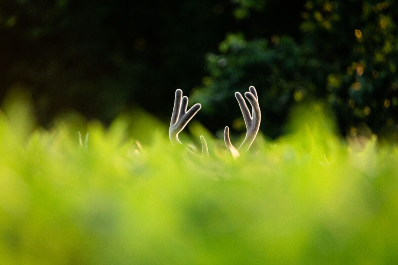
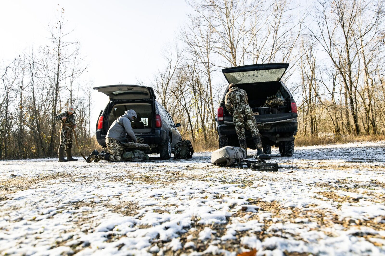
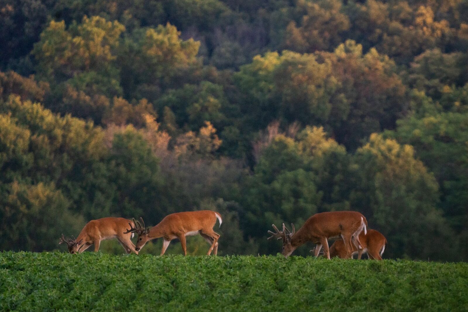
Many of us grew up chasing deer in our home state and have come to love what the local deer hunting season brings us each year. Some of us, though, yearn for new adventures and challenges, in different landscapes and with the potential to try our hand at different hunting styles.
Each year, I travel to numerous states in search of all kinds of game to hunt, and I can tell you from experience that if you plan an out-of-state hunting trip correctly, you’ll have more fun and find more success.
There’s a lot that goes into a hunting trip away from home. Here, we cover eight considerations to help you lay the groundwork for a non-resident deer hunt.
1. Non-Resident Hunting License and Tag Availability
By and large, when looking at out-of-state whitetail hunts, tags are affordable and easy to come by (it’s often as simple as swinging by the local Walmart for a tag). Still, there are options, and they fall into one of two buckets:
- I’m planning a “dream hunt” trip. This certainly could mean you’re looking into states with draws. Kansas and Iowa are arguably the most desirable whitetail states with draws, and it can take several years to build up enough points to get a tag. While obtaining a non-resident tag in either state is well within the realm of possibility, it does take an additional level of planning.
…or
- I’m focused on an opportunity hunt. Here, you’re planning to obtain an easy-to-draw tag, or more likely, you’re buying an over-the-counter (OTC) tag. These hunts allow you to get a tag easily so you can get to know new areas and then hunt them for years to come.
You’ll also need to weigh how your time, energy, and budget factor into the type of tag and hunt you pursue. If you want the ‘shortcut’ to high odds of success or trophy quality and don’t mind spending the money, hiring an outfitter who offers the experience you want might make sense. A good outfitter is going to have access to private ground and almost all of the leg work done as far as scouting, hanging stands, and running trail cameras to understand the class of deer you may get an opportunity at.
If Iowa or Kansas is your state of choice, going with an outfitter will not eliminate the need to draw the tag after collecting the adequate number of points (in Kansas, generally just one or two points is all that is needed, in Iowa, pending the region of the state, you may have to apply for five or six years for an archery tag).
A DIY deer hunt is more rewarding, improves your skills as a whitetail hunter, which pays dividends in the long term, and you can likely do three or four DIY hunts for the price of one outfitted hunt.
On the flipside, if you have the time and motivation to put in the work, a DIY deer hunt is more rewarding, improves your skills as a whitetail hunter, which pays dividends in the long term, and you can likely do three or four DIY hunts for the price of one outfitted hunt.
In any case, if you plan to pursue out-of-state hunts routinely, now is the time to learn which states you can hunt every year vs. which states you have to build/buy points for. Outside of Iowa and Kansas, there are other states with limited entry opportunities, sometimes in the form of having to draw for a single wildlife management area or a military base property. There are tons of opportunities, it just takes time and effort to uncover many of them. If you know you’ll want to hunt a limited entry opportunity at some point, begin buying points now.

Hunting Regs Without the Hassle
Compliance shouldn’t be the hard part. FieldRegs is a free app from the team behind onX Hunt that helps you quickly find hunting regulations, seasons, and legal requirements without digging through agency websites and PDFs. No credit card required.


2. Hunting Trip Budget
Next, you need to understand your budget. I break hunting trip budgets into three parts:
- Tag/permit/license fees
- Gear costs
- Travel expenses
Tag/Permit/License Fees
Depending on the state, tag/permit/license costs generally range from $150 to $500 (…and beyond—an Iowa archery tag is pushing $700). I recommend looking up exactly what tags/permits/licenses are needed to legally hunt the state you’re looking into so this budget line item isn’t a surprise.
I generally set aside $500-$600 for tags/permits/licenses.
Gear Costs
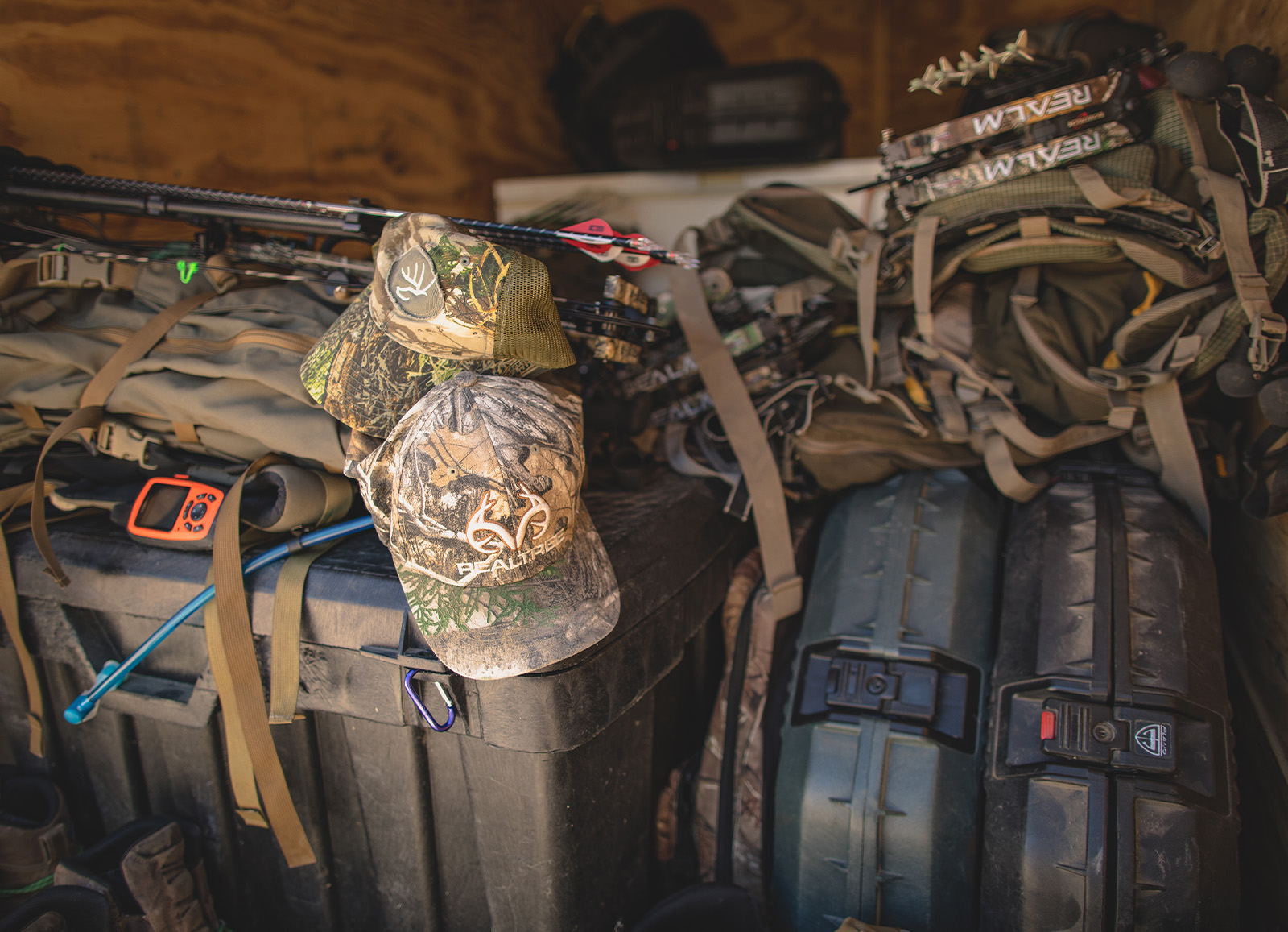
Hunting gear can get really pricey, really quickly, especially if you need to buy new archery equipment, tree stands, trail cameras, etc. I’m going to use an old saying here: “Buy once, cry once”—and for good reason. Good hunting gear is an investment: If you buy quality gear the first go-round, you’ll generally need to buy less gear in the long run. That said, assuming most of you have been on a deer hunt before, the gear you hunted with in your home state will probably work just fine somewhere else.
Typically, I do buy a few new or newer items for an out-of-state hunt, so I try to budget around $500-$1000 for gear. Of course, this varies from year to year and person to person.
Travel Expenses
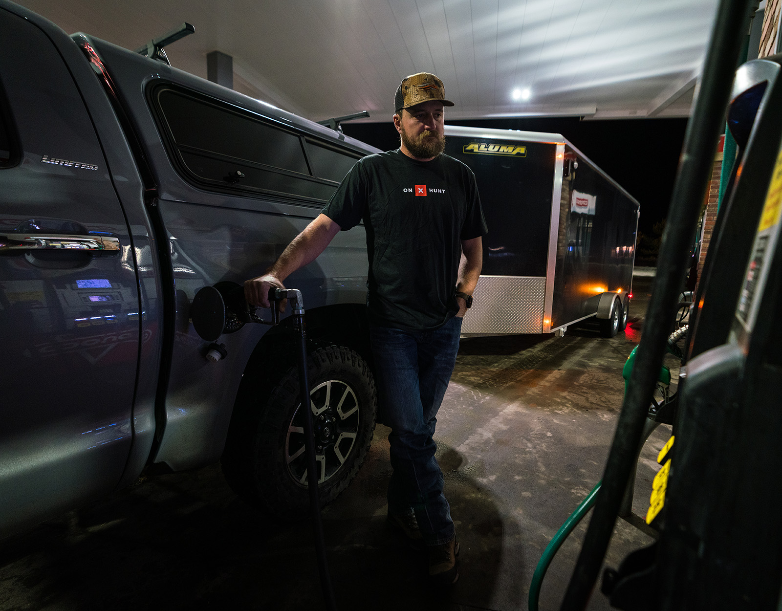
I prefer to drive to hunts as much as I can. Anytime I can pack up my truck with all of my gear and take off, I’m a happy man. But, sometimes flying is necessary. Let’s discuss both:
Transportation
- Driving: The main budget item here is fuel costs, which drastically depends on how far away you’re traveling (and whether you’re splitting costs with a buddy or two, which always helps save on costs and often adds to the fun factor). With today’s gas prices, if you’re traveling regionally, you can expect to pay in the ballpark of $150-$250. If you’re venturing cross-country, you’ll need closer to $500-$700+. Use a trip planning calculator for estimates specific to your vehicle and route. I also like to have a few hundred set aside for basic vehicle maintenance (rotating tires, grease job, oil change, etc.) before I leave on a trip. So, roughly $700-$1000 for this line item.
- Flying: When flying, the earlier you book, the cheaper the flights will almost always be, so try to book fast and early. I always get flight insurance to cover a missed flight, lost bags (not common), or damaged property. I frequently have connecting flights on hunting trips, so this is a must. Flights today can be anywhere from $200-$700, depending on where you go and how far in advance you book. Insurance is usually $50 or less. Also, if you fly, you may have to rent a car. This will typically run you $200-300 per week, plus fuel.
Lodging
Lodging costs will depend on your preferences. From hotels and Airbnbs to camping, consider the experience you want and bake in the appropriate budget.
In most whitetail country, you’ll be deciding between a hotel/motel/Airbnb or a local campground:
- A hotel or Airbnb comes with higher costs but also affords comfort, like a warm bed and hot shower, convenience to cook your own meals, and dry out gear. You might appreciate additional room to spread out and recharge after a long day.
- Camping is cheaper, puts you closer to your spot for first light advantage, and allows you to be more agile with your plans, if needed. You might also want a more traditional deer camp experience, especially if hunting with buddies, where ruggedness and stories told around a fire are as much a part of the plan as anything else.
Using the Hunt App to identify public lands to camp on can help you avoid the cramped feeling of a KOA-style campground.
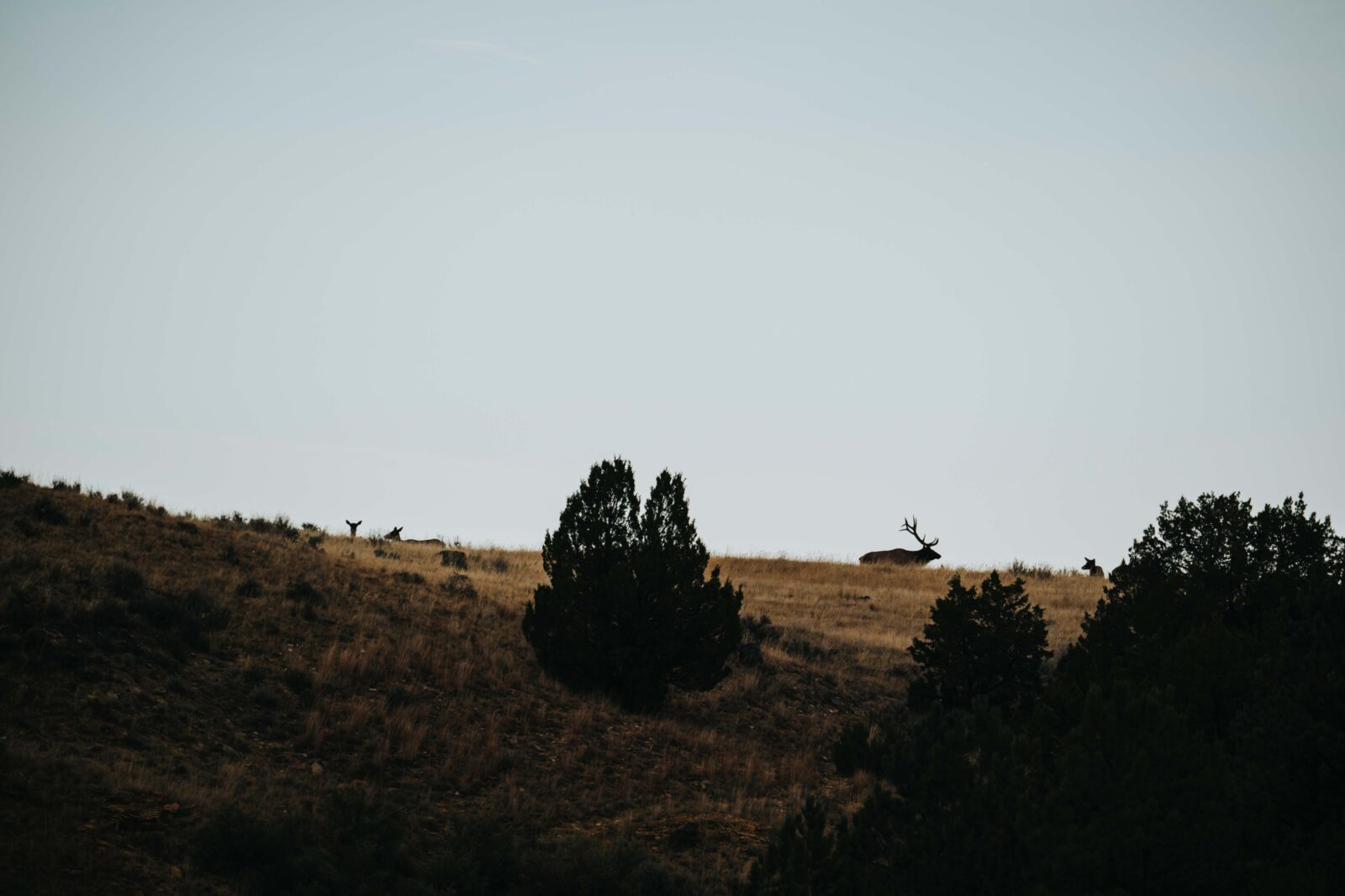
3. Terrain That Matches Your Preferred Hunting Style
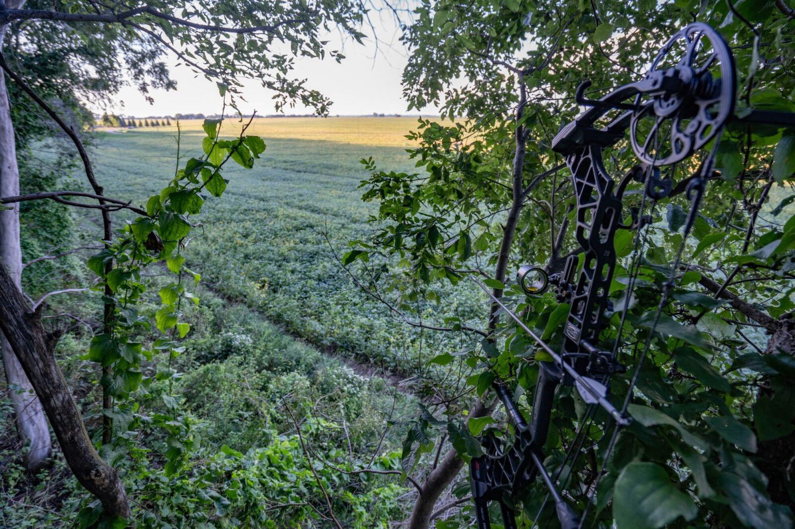
While I didn’t list this first in our hunting trip planning checklist, this aspect may be the most important consideration you need to think about.
What kind of deer hunting style makes you happy? What style of hunting keeps you motivated and invested in the hunt? I like tree stand hunting and being mobile while doing it, so hardwoods, big woods, and agricultural country all provide ample opportunities for me to hunt the way I want. Places like Iowa, Missouri, Illinois, and Wisconsin offer terrain that matches my style, and I enjoy that.
Now, if I were looking for something outside my comfort zone, I’d look at states like Alabama, South Carolina, or Virginia, which all provide a different type of terrain than I’m used to hunting.
Too many times I hear of people going out to Kansas to decoy and hunt bucks on the ground, but end up disappointed because they hated not sitting in agricultural country in tree stands, like they’re used to back home in Indiana. Make your out-of-state hunt about you and how you enjoy hunting deer.
Something else to think about is the physical aspect of these hunts. If you’re not in great shape, I wouldn’t recommend hunting the big mountains of Kentucky or Pennsylvania, where you may have to walk a few miles to your hunting spot in steep terrain. Or, if you hate frigid temperatures, don’t hunt the Dakotas in the winter, where the normal deer hunting temperatures will be below zero.
4. Public Land Availability
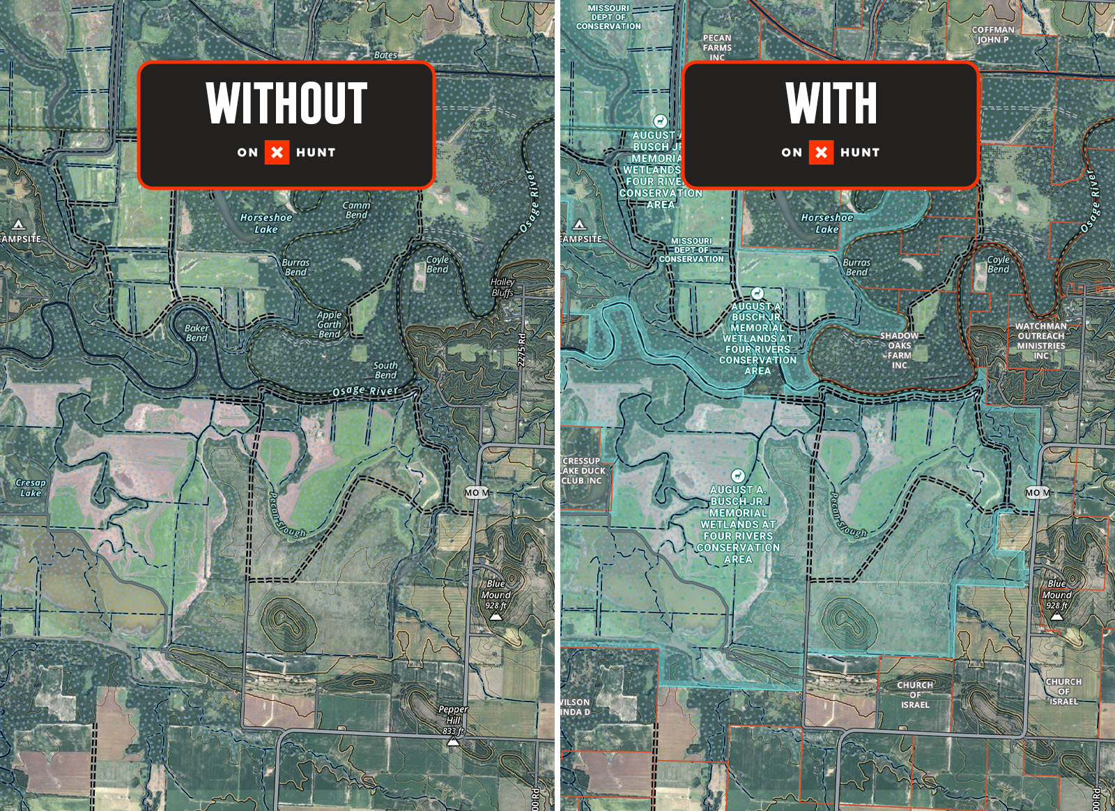
When going on an out-of-state deer hunt, I’m hunting public lands 99% of the time. So, I want to pick a state with a good amount of public land available across it and an overall good statewide deer herd, not just a pocket or two that’s good. If a state only offers a certain portion that’s deemed “good deer hunting,” you’ll have all of your public land pressure concentrated in that area, which creates an overwhelming amount of hunting competition on the public lands in these spots.
My rule of thumb is to look for a state that offers numerous portions of public all across it (Ohio and Illinois are good examples). The Hunt App’s Public Land Map Layers will help you scan for swaths of public land. From there, I dive into county-by-county statistics, looking at which areas produce the largest bucks and have the highest hunter success, and tailor my hunt to some of these areas.
Again, a state with a lot of public land will be more appealing because it gives hunters more opportunities and doesn’t crowd everyone into certain small areas and limited public land access. Take note of what states offer a lot of public hunting and which don’t.
Looking To Hunt Private Land Instead?
If you don’t know someone in the area you’re headed, several options can make your hunt a reality, such as websites like LandTrust or HLRBO. These resources allow you to search and filter for private land hunting opportunities that meet your needs and connect you directly with landowners to schedule. Typically, these sites include everything from daily land lease opportunities to long-term hunting leases.
And, if you’re hunting a state with a formal walk-in program, like Kansas or Nebraska, be sure you’ve read up on those opportunities and leveraged the Hunt App’s state-specific Walk-In Map Layers.
Use onX Hunt To Plan Your Hunt
Map Layers: View public land boundaries and assess terrain features like oaks, available water, hardwoods, and ag fields so you can choose where to hunt.
Wind & Weather: Understand upcoming conditions so you can pack the right gear.
3D Maps: Assess the topography to match your preferences.
Route Builder (Elite-only tool. Upgrade here, if needed): Map your route and side excursions to any hotels, restaurants, etc.
Masterclasses: Great video content for deer hunters.
onX Hunt Blog: A lot of articles here for deer hunters.
5. Deer Herd Health and Harvest Trends
It’s hard to expect to see a 160-class buck in a state that produces very few 160-type deer. Calibrate your standards and goals for the state you’re in.
When planning an out-of-state hunt, I’m usually looking at it in one of two ways: It’s either a quality hunt or a quantity hunt. I’m either looking for a good caliber of buck to hunt, or I’m looking to simply have a fun hunt, see deer, and see what happens. Your goals will decide how deeply you should be digging into factors such as herd health, state trophy potential, and harvest trends.
Personally, I like to find areas where herd health is trending in the right direction, with buck-to-doe ratios on the rise. I also like hunting states where the trophy potential matches what I am interested in hunting, which is usually 5+-year-old bucks that are in that upper score class for the herd.
For example, the biggest deer herds will not always equal the biggest bucks to hunt. An example would be Pennsylvania, which features strong deer numbers, but comes with stiff competition that chips away at the potential for a big buck. On the other hand, take a state like Kansas: It may hold fewer deer and lower harvest numbers, but is known for larger bucks and less hunting pressure.
My advice is to figure out what type of hunt you want; then, pick a state that has that “trend” in deer herd health and harvest trends. For example, it’s hard to expect to see a 160-class buck in a state that produces very few 160-type deer. Calibrate your standards and goals for the state you’re in and be realistic with yourself. This will set you up for a happier overall experience.
When researching, go straight to the source by searching for the relevant state’s harvest reports, or check out the National Deer Association’s 2025 Deer Report for a snapshot of high-level trends.
6. Weather and Gear
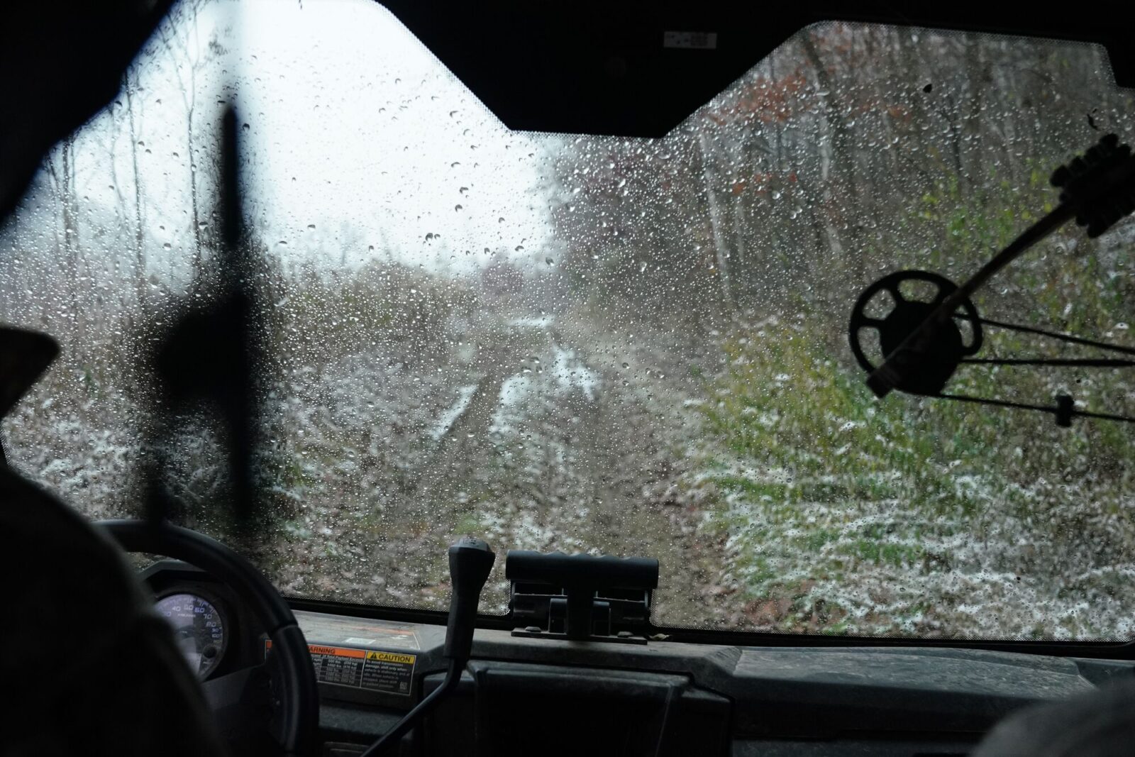
Weather is as unpredictable as it gets. Preparing for the worst possible weather will save you in the long run. Pack extra clothes, boots, and sleeping bags/pads. If driving, take a spare tent, ground blind, tree stand, cooler, and grill. You just never know when bad luck or bad weather will foul up your plans. Also, make sure you watch the weather carefully from hour to hour when hunting. A few years ago in Kansas, I got caught in an awful storm that ended up turning into a mild tornado all because I failed to keep tabs on the weather closely that day.
I’m also a huge fan of following the moon. Especially the red moon days during November. I like to base my hunts around good weather fronts coming and going and high-pressure days. I also look for cold fronts, especially on rut hunts, and plan my dates accordingly*. Sometimes this is last minute, but it provides me the best opportunities to catch deer movement at its peak.
*This is why I love to drive. I can pack up and leave whenever I want, based on the weather, and head to my hunt. I like this more than being married to a plane ticket and having to follow those dates. Things change, and I like to be as flexible as possible on hunts like these.
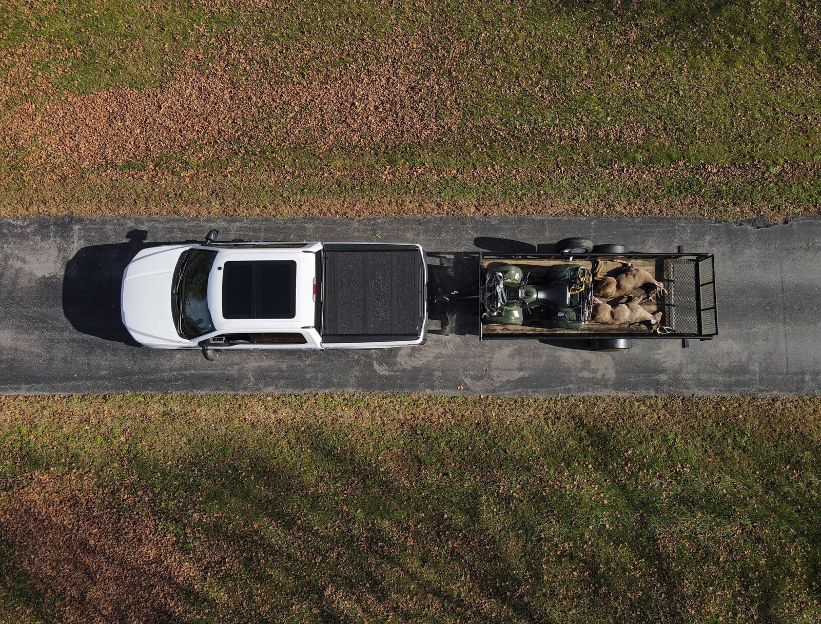
7. Trophy and Meat Transport Logistics
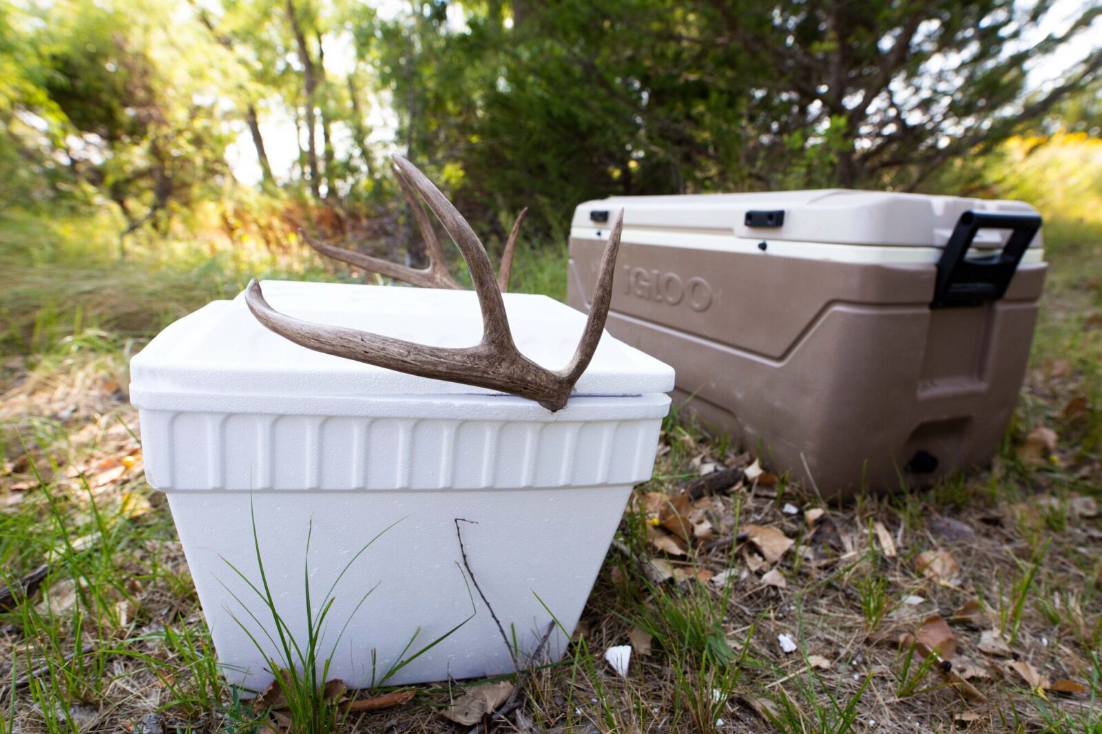
For any out-of-state hunt, you’ll need to plan for the logistics of meat and trophy care. When it comes to meat care, if I’m driving, I always have two coolers with me. Typically, I’m bringing a large cooler (100+ quart) and a smaller one (40-60 quart). I’ll use the large one for deboned meat and a cape. I use the smaller cooler for back straps, neck and shoulder meat, etc. Two coolers ensure I have plenty of room to get my meat and my trophy safely back home, or to a butcher shop/taxidermy shop.
When flying, things get trickier. You can fly with some frozen meat, a cape, your head, etc., but it’s not cheap or easy. When flying, I like to line up a taxidermist and/or a meat locker/butcher long before the hunt in case I need it. Shipping meat/a trophy home isn’t cheap either, but it’s easier than flying with all of it. When I fly, I make sure that when I rent a vehicle for my hunt, it can fit coolers inside it. I’ll then buy coolers at Walmart or a local sporting goods store so I have them at my convenience.
Meat care is extremely important. Don’t skimp on this. Make sure you are prepared to get the meat cooled down quickly and either frozen on your own or to a meat locker. Same with your cape and skull for your trophy.
8. State Regulations and Regional Etiquette
Once you’ve decided on a state or two that you’re really interested in, familiarize yourself with those states’ specific rules and regulations. For example, some states do not allow brain matter or meat to go out of the state. Other states do allow this. So, going from state to state needs to be looked at when mapping out your travel logistics.
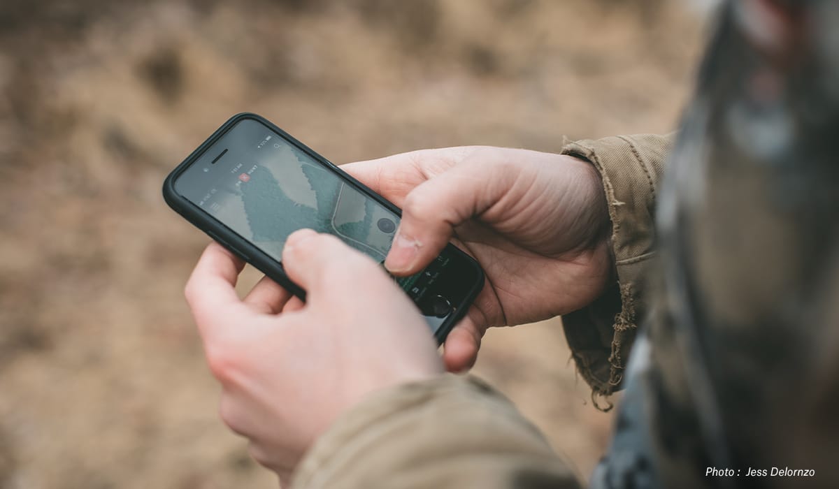
Do not get lazy on the regulations; it could cost you big time with a fine or ticket. I like to screenshot and save copies of the regulations on my phone in case I have limited service.
___
An out-of-state whitetail hunt can and should be exciting, challenging, and above all, fun. But, this will only happen if you choose the style, type, conditions, and method of hunting that you want to do.
And, always remember to expect the unexpected on out-of-state hunts. Flat tires, crowded trailheads and parking lots, and bad weather can all happen. Mentally and physically prepare yourself for when things aren’t going to plan so you can face those challenges head on with patience and a clear mind.