
Map Tools
Understand the landscape and plan your hunts with confidence using this extensive suite of Elite-exclusive Map Tools.
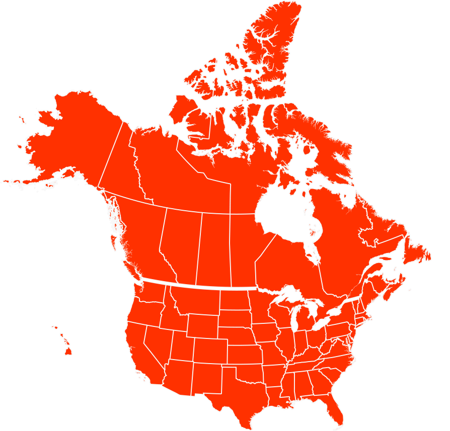
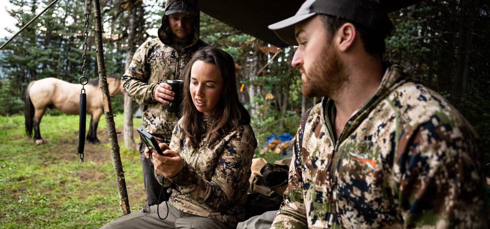
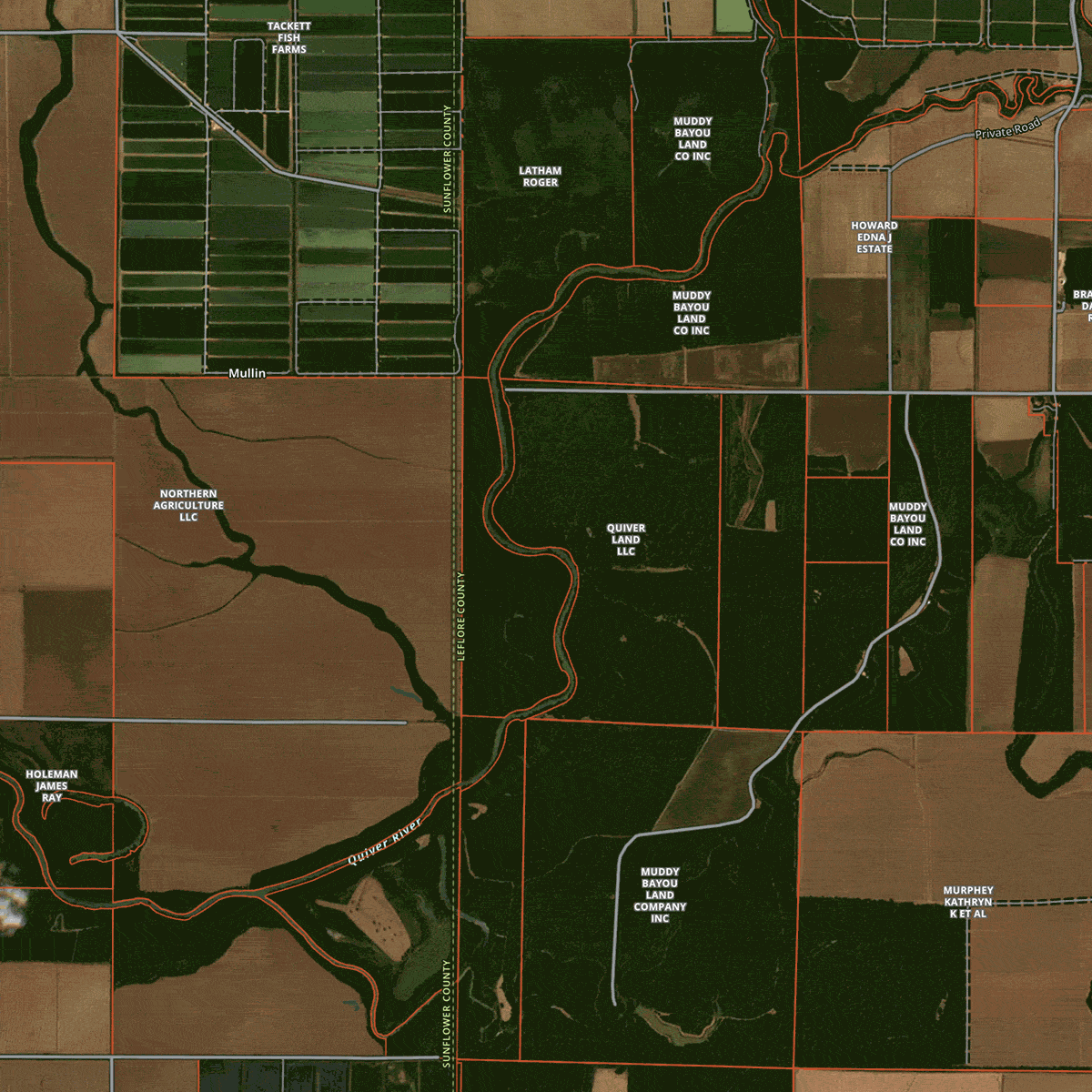
Nationwide Hunting Maps
An onX Hunt Elite Membership provides detailed maps for all 50 states and Canada. View proprietary Basemaps, property lines and landowner information, Wind & Weather, Lidar Maps, Offline Maps for use without cell service, hundreds of state-specific layers, and much more.

TerrainX


Leaf Off Imagery


Recent Imagery


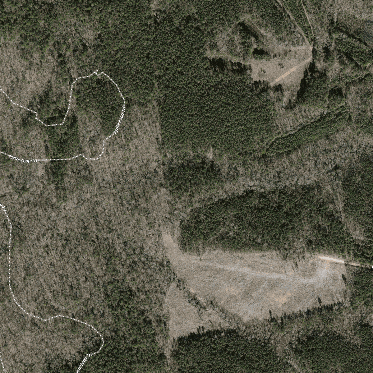
Route Builder


Lidar Maps
FAQs
An onX Hunt Elite Membership provides detailed maps for all 50 states and Canada, including proprietary Basemaps, property lines, landowner information, Wind and Weather, Lidar Maps, Offline Maps, hundreds of state-specific layers, and exclusive tools like TerrainX, Leaf-Off Imagery, Recent Imagery, and Route Builder.
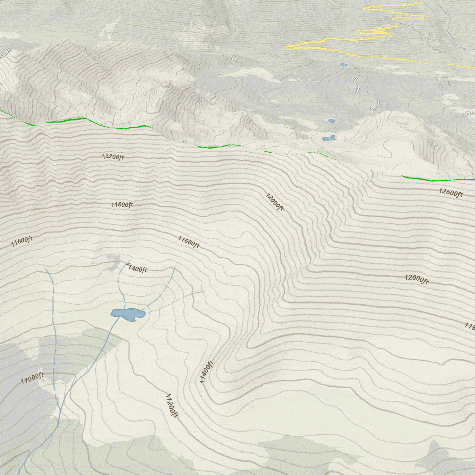
TerrainX is a unique tool developed by onX that lets you view slope angles, slope aspects, and elevation patterns to help you plan hunts and position yourself in the right place at the right time.
Leaf-Off Imagery lets you see through the forest canopy to identify water sources, game trails, and the overall lay of the land. It is currently available in select states including AR, CT, IA, IN, KS, KY, MA, MI, MO, MS, NC, NH, NJ, NY, OH, PA, TN, VA, VT, WI, and WV.
Recent Imagery is updated every two weeks, allowing you to check on-the-ground conditions like snow cover and water levels to plan your hunts with confidence. Time magazine recognized it as one of the Best Inventions of 2023.
Route Builder lets you create routes that snap to existing roads and trails, which you can then save for reference once you are in the field. It bridges the gap between spotting a location on the map and actually getting there.
Lidar Maps give you a detailed read of the terrain, helping you identify stand locations, break down basins, and find spots others miss, turning hours of e-scouting into minutes of confident planning.
Yes, Elite members can download Offline Maps for use without cell service, ensuring you have access to your maps and data in remote areas.
Yes, onX Hunt offers a free trial so you can explore Elite features before committing to a membership.