Public/Private Boundaries
Top Gift Ideas for Dads Who Hunt
Whether it’s for Father’s Day, a birthday, or just because, we’ve compiled curated gift ideas for dads who love to hunt.
Public/Private Boundaries
Whether it’s for Father’s Day, a birthday, or just because, we’ve compiled curated gift ideas for dads who love to hunt.

Public/Private Boundaries
Whether it’s for Mother’s Day, a birthday, or just to show appreciation, we’ve compiled a list of practical gift ideas for the women in your life who love to hunt.
Public/Private Boundaries
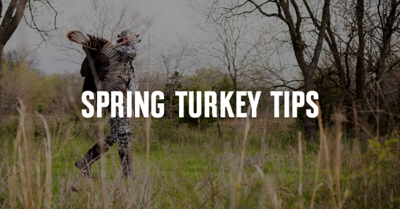
Learn how to scout for turkeys by identifying key habitat, roost areas, and travel routes on a map. Use onX Hunt to find more spring turkeys on public land.
Public/Private Boundaries
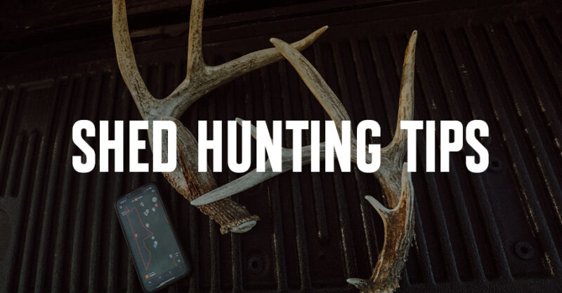
We dive into shed hunting tips and provide region-specific tactics you can use to find more antlers.

Public/Private Boundaries
Need to change states? Learn how to add and remove states. Available for Premium Two-State and Elite Members.
Public/Private Boundaries
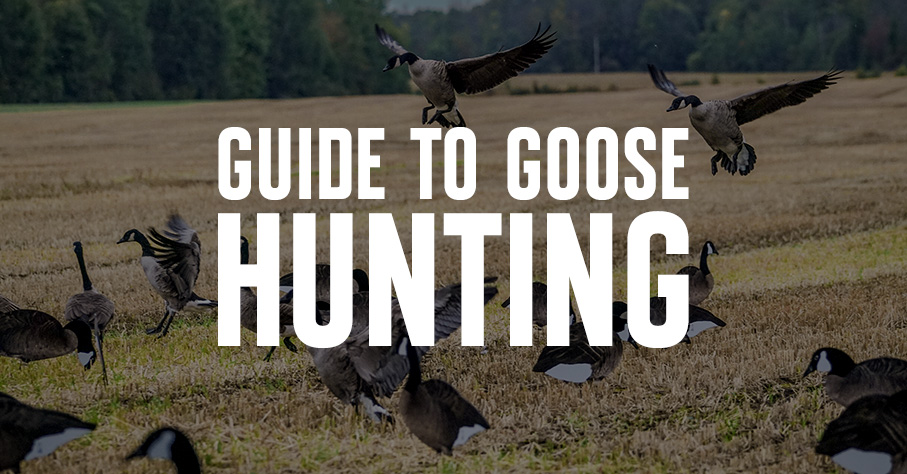
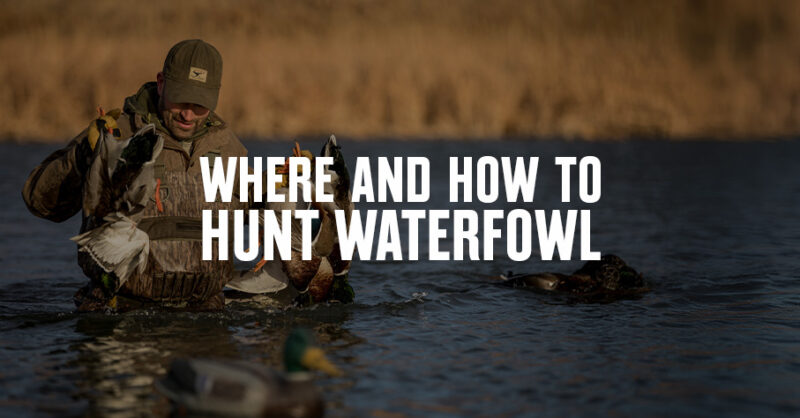
onX Ambassadors share a few of their favorite spots and times of the year to set up blinds and start calling in ducks and geese during their migration.
Public/Private Boundaries
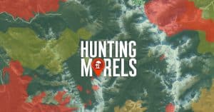
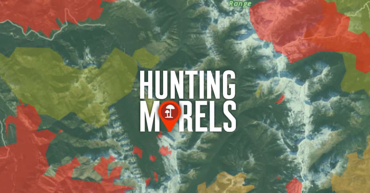
Learn the tools and tricks that expert morel hunters use to find morel mushrooms year after year. Try onX Hunt today. No credit card required.
Public/Private Boundaries
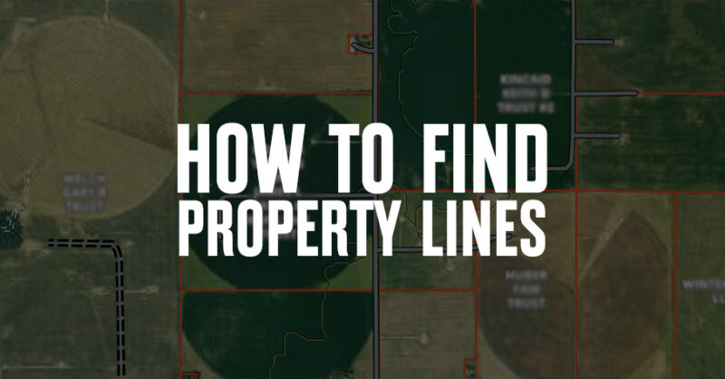
Curious how to find property lines? Learn how property lines are determined and how to use the Hunt App to see boundaries.
Public/Private Boundaries
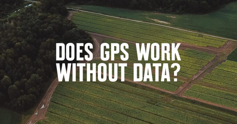
Learn more about using GPS without data and the onX Hunt App to go offline while hunting.
Public/Private Boundaries
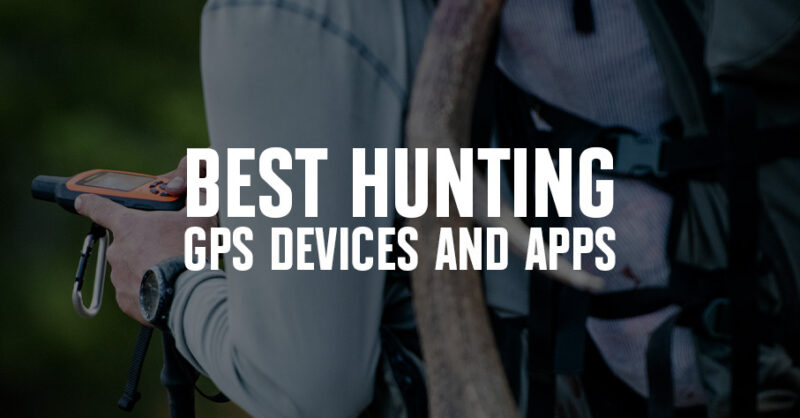
Handheld GPS units for hunting have different strengths and features. In our 2025 guide, we have narrowed down the easiest and most affordable units.

Public/Private Boundaries
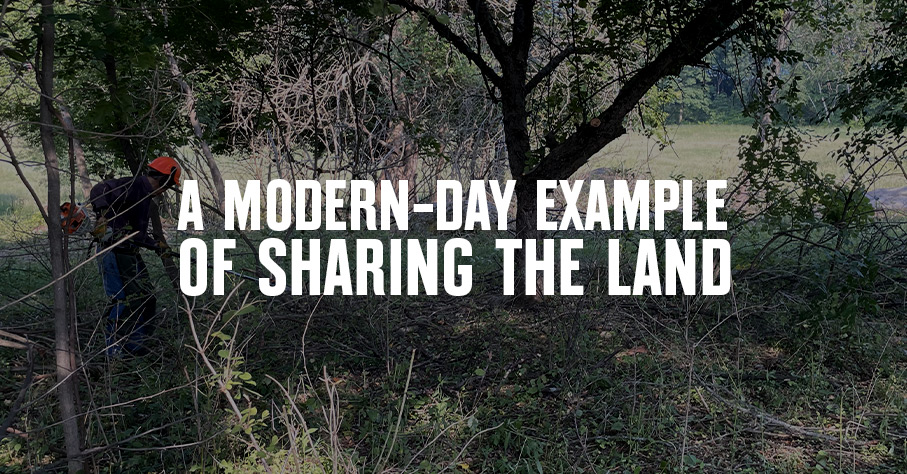
Considering leasing land for hunting? Understand how hunting leases work and the pros and cons of different types of hunting leases.

Public/Private Boundaries
Find out what onX Hunt App features are currently available for Canada. Learn more.
Public/Private Boundaries
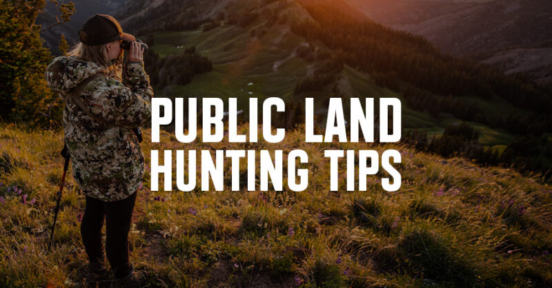
Planning a hunt on public land? onX Pros share six top tips for hunting on public land this upcoming season. Be successful, learn more.
Public/Private Boundaries
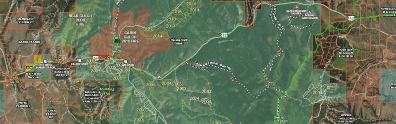
Learn how onX Hunt Map Layers support your pursuits by giving you insights into historic wildfires, deciduous vs. coniferous tree distribution, roadless areas, and more.
Public/Private Boundaries
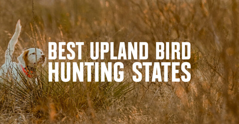
These states are your best bet for hunting upland birds across the country. Check out the top picks, with suggestions from onX Hunt Ambassadors.
Learn
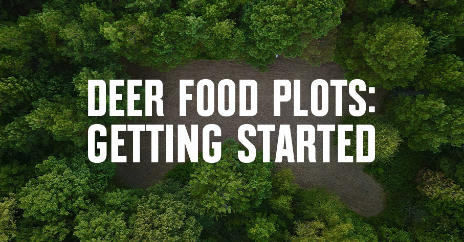
If you’re planning deer food plot projects, read up on food plot design, soil prep, and regional tips on what and when to plant.
Learn
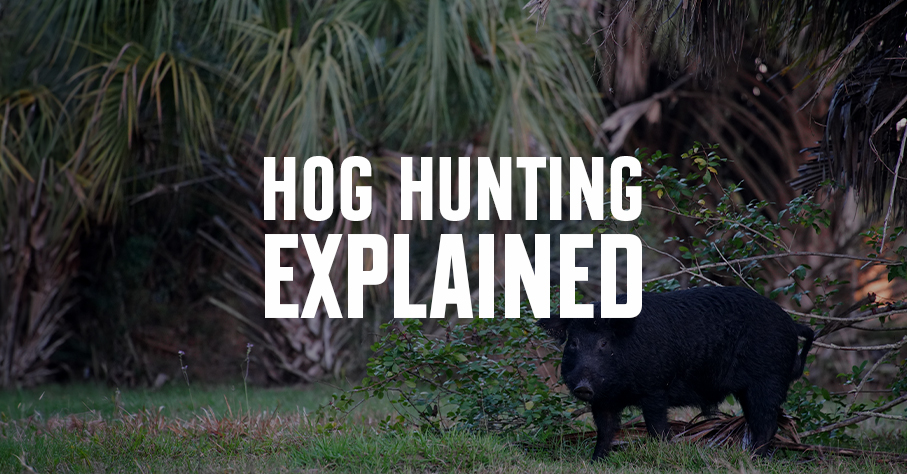
Considering a wild hog hunt? First get to know the species: We explain why they’re here and explore the havoc they cause. Then, we offer tips for hunting feral pigs.
Food & Cooking
Learn the tools and tricks that expert morel hunters use to find morel mushrooms year after year. Try onX Hunt today. No credit card required.